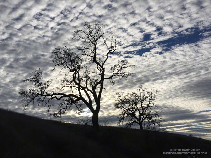
On my run today (Tuesday), the leading edge of the cloud shield associated with a cut-off upper level low southwest of the Los Angeles began to move into the area.
Systems such as this are notoriously difficult to forecast and computer models (and forecasters) often disagree. In this case the wetter solution won the day with a half-inch of rainfall being recorded at Downtown Los Angeles (USC) Wednesday evening.
The storm increased December’s rainfall total in Los Angeles to 2.26 inches — about 0.88 inch above normal for the month.
Many of the hikers and runners that park at Vincent Gap climb Mt. Baden-Powell via the Pacific Crest Trail. The PCT isn’t the only trail that can accessed here and Mt. Baden-Powell isn’t the only hike. Vincent Gap is also the trailhead for the Manzanita Trail, Big Horn Mine Trail and Mine Gulch Trail. My run today involved these three trails.
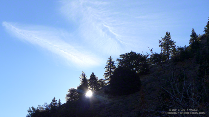
Morning sun on trees at Vincent Gap
First up this morning was the Manzanita Trail. The trail is part of the High Desert National Recreation Trail and connects Vincent Gap to South Fork Campground. It’s about 5.5 miles long and can be done as an out and back or as part of an approximately 23.5 mile loop that joins Islip Saddle, South Fork Campground, Vincent Gap and Mt. Baden-Powell.
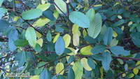
Western chokecherry along the Manzanita Trail.
That loop is a favorite and this morning’s short run on the Manzanita Trail was to check if a small stream/spring I use as a water source was still running. Remarkably it was!
Some work had been done on the trail since I was there in June. A washed out section just below Vincent Gap had been repaired, the tread in several places improved, and the indistinct trail across the rocky wash about a mile down from Vincent Gap had been much improved.
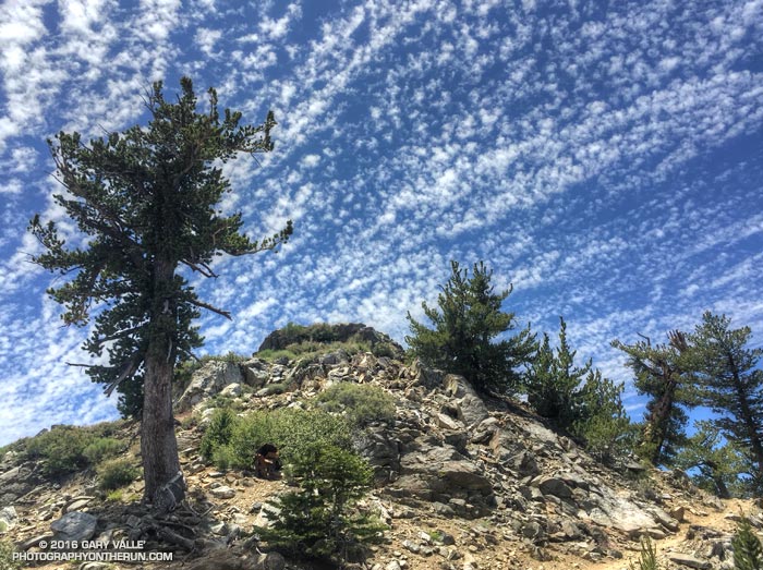
Crest and clouds on the Pacific Crest Trail at 8900′ near Mt. Burnham in the San Gabriel Mountains. From Saturday’s 30 mile training run on the PCT and AC100 course.
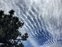
Cirrocumulus undulatus clouds
Temps were a bit more manageable on Saturday than Sunday. Saturday the Big Pines RAWS (6964′) recorded a high of 79°F with an “in the sun” temperature of around 101°F. Sunday the Big Pines high was 89°F with a sizzling “in the sun” temperature of about 109°F.
In addition to the air temperature many Remote Automated Weather Stations (RAWS) report the fuel temperature. The air temperature is the temperature inside a ventilated, sun-shielded enclosure approximately 6 ft. off the ground. The fuel temperature is the temperature of a pine dowel in full sun near the ground. The fuel temperature is a good indicator of the much higher temperature runners and hikers can experience in exposed areas facing the sun.
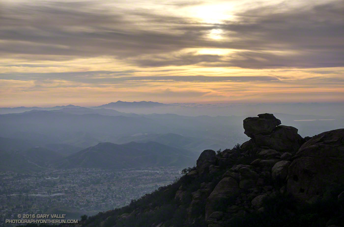
Been enjoying the views from Rocky Peak Road a lot this past month. That’s Simi Valley, with Boney Mountain in the distance. On a clear day the view extends to the Channel Islands.
That viewpoint is at about mile 4.5 of the Bandit 50K/30K/15K and there are many other superb views along the way. This year, as a result of the L.A. Marathon date change, the Bandit races were moved from President’s Day weekend to January 30. El Nino or not, we had near perfect running weather for the event. Thanks to Randy, Sarita & crew and all the volunteers for all the work putting together the eight edition of the Bandit Ultra Trail Run!
Rocky Peak Road
The Tuesday following Bandit I’d run farther than planned, so on Wednesday the plan had been to drive over to Simi Valley and do a short recovery run/hike up the Chumash Trail. As I parked on Flanagan Drive, it occurred to me it would be a good day to see if the linkup from the Chumash trailhead to the Hummingbird trailhead was once again possible. The 9.3 mile Hummingbird-Chumash loop used to be a favorite, but because of construction I had not done the loop since 2010. An out and back to check out the first couple of miles of the loop would be the perfect recovery run!
I was happy to discover the trails east of Chumash Park and behind the cemetery had not changed. Construction of the extension of Mt. Sinai Drive appears to be mostly complete, but residential construction along the street is ongoing. The work day was ending, so running the quarter-mile stretch of Mt. Sinai Drive to get to Kuehner didn’t seem to be an issue.
Once on Kuehner my thought was, “What now?” The run was going to be too short if I turned around, so I decided to go just “15 minutes up the Hummingbird Trail.”
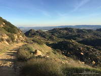
Greening hills along the Chumash Trail
Right… I soon found myself most of the way up the trail and estimating what time I needed to get to the top of Hummingbird in order to make it to the Chumash Trail and complete the loop before dark. I’m sure my pace was not too far off what it had been in the 50K, just a few days before. At some point an official trail is supposed to link the bottom of the Chumash and Hummingbird Trails, and I hope that is in the not too distant future.
The single track trails in Rocky Peak Park — and even Rocky Peak Road — tend to be technical. It’s excellent training and I try to run there at least once a week. A run I’ve been doing frequently is an out and back from the Chumash trailhead to an airy overlook near Rocky Peak. (This run also passes the point on Rocky Peak Road where the title photo was taken.) Today, as I approached the overlook I saw that it was occupied by a pair of large ravens.
Often seen in pairs, ravens are perceptive, intelligent birds. Depending on the situation, they can be somewhat tolerant of humans. Sometimes it is possible to pass within a few feet of them and not make them fly. They really don’t want to waste the energy if they don’t have to.
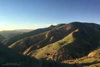
Overlook near Rocky Peak
As I worked up the path to the overlook I could see that the birds were watching me intently and trying to decide if I posed a threat. Knowing they are curious birds, I clucked my tongue in an attempt to mimic one of their more simple calls. Perhaps they were perplexed by the garbled raven-talk coming from the troublesome, large, bipedal, wingless creature. In any case they didn’t fly and continued to watch me. As “politely” as I could, I moved up and about four feet to their left, sharing the high point. For seconds I stood by them on the overlook, enjoying the view.
I’d flown a hang glider from a point such as this and understood why it was so special to the birds. With care, I turned away from them and walked down an alternate path. Slowly turning my head, I could see they had not flown.