Category Archives: running

San Gorgonio High Line 2009

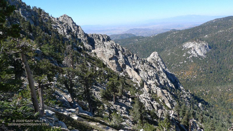
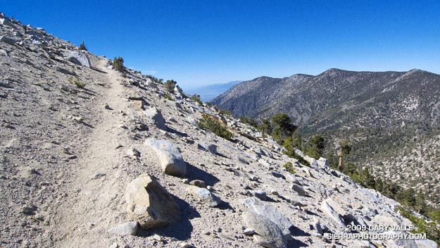
San Bernardino Mountain Divide from near Charlton Peak

San Bernardino Mountain Divide from near Charlton Peak

As I approached the spur trail to High Meadow Springs, I tried to convince myself I had enough water to continue. The problem wasn’t the third of a mile detour down to the spring, or even the 280′ loss of elevation. The problem was the interruption. Having to get water was like having to stop to remove an annoying little rock from your shoe. You know you should, but one mile passes, then two… The running along the 10,500′ crest on the Divide Trail was just so spectacular, I didn’t want to stop!

I reached behind my back and squished the Camelbak reservoir with my hand. Yea, there’s plenty of water, I don’t have to stop. I can make it to the summit of Gorgonio, and then get water at High Camp on Vivian Creek on the way down.


But hadn’t I nearly run out of water the last time I did this? I did a rough calculation of the distance… about four miles to the peak, with a gain of 1500′, and then another four miles to the creek. Reluctantly, I slowed, and turned off the Divide Trail

At the spring, I pulled the reservoir from my pack. Only about 25 oz. of water remained. The little spring burbled and gurgled energetically, and it didn’t take long to replenish my water supply. East of Shields Flat, the trail to High Meadow Springs is about a quarter-mile below the point marked 10,500 on the topo, and about half a mile above Red Rock Flat. At an elevation of 10,120′, the springs sit near the top of a steep canyon that drops down to Plummer Meadows. It’s an airy location with an expansive view.

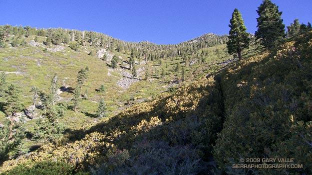
Earlier, I had chugged up the Momyer Creek Trail to the San Bernardino Peak Divide Trail. Once past the turn to Alger Camp, this trail becomes more of a  footpath, weaving its way through a middle elevation forest of pine and fir, around innumerable bark beetle felled Jeffrey pines, and up to a high mountain habitat of chaparral and Lodgepole pine.
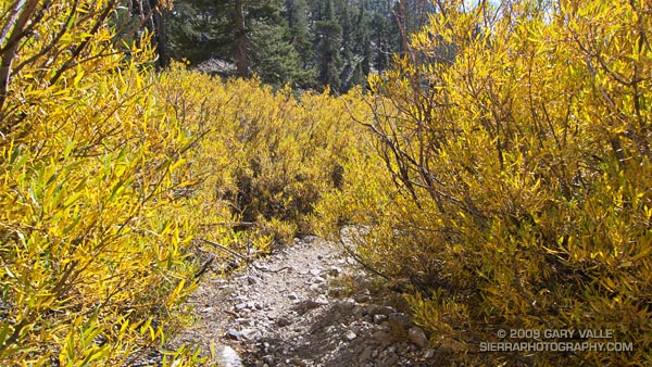


If stretches of trail with a 30% grade are not enough of a challenge, the last couple of miles to the divide include overgrown sections that will not only slow the shorts clad hiker or runner, but over time become annoyingly painful. Chinquapin is your friend, manzanita an adversary, and whitethorn your archenemy. And there is a lot of whitethorn.

After visiting High Meadow Springs, I continued down to Dollar Saddle. Beyond this point I expected to see an increasing number of hikers. The previous Saturday it had been exceptionally busy on Mt. San Jacinto, and the weather was even better today. Eventually, near Jepson Peak, I encountered a couple of hikers returning from the summit, and then passed a couple more working up the trail. But that was it — and the summit of San Gorgonio was empty. Unusual for such a perfect Autumn day.

Here’s a Cesium browser View of a GPS trace of the 26 mile route, and an elevation profile generated by SportTracks. The approximate elevation gain and loss was about 7000′.

Related post: San Gorgonio High Line, San Gorgonio Mountain – Falls Creek Loop

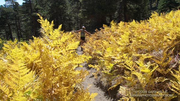
Autumn Trail Running on Mt. San Jacinto

Autumn trail running along Wellman Cienega in the San Jacinto Wilderness.

Spectacular Autumn trail running along Wellman Cienega in the San Jacinto Wilderness.


Tahquitz and Suicide Rocks from the PCT
Lush with ferns and corn lilies in the summer, Wellman Cienega is a mountain seep high on the eastern slopes of Marion Mountain. It’s a couple of miles into an excellent 5 mile downhill segment from the top of San Jacinto to Saddle Junction.

From today’s trail run to San Jacinto Peak (10,834′) and Tahquitz Peak (8828′) from the top of the Palm Springs Tram at Long Valley.

Here’s a Cesium browser View of a GPS trace of the route, and an elevation profile generated in SportTracks. The total elevation gain/loss on the 20 mile run was about 4000′.

Related post: Room with a View

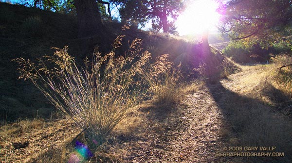
Smilo and Sun

Introduced into California over a century ago, smilo is a drought resistant grass that has been used for pasture, and for erosion control following fires.

The first day of sun following rain on Tuesday and Wednesday. Ahmanson Ranch was not nearly as wet and muddy as I expected, and although water was pooled in Las Virgenes Creek, the stream was not running. Would have been a very different scenario had this storm occurred later in the rain season. Some rain totals for the Los Angeles area and comments about the developing El Nino are in my October Weathernotes.

The soft trail conditions were nearly ideal for barefoot running, and I took my running shoes off part way through the run. The muddy sections were great fun, and running barefoot was a enjoyable way to put a wrap on the rain event. I can’t wait for it to rain again!

The grass backlit by the sun is smilo (Piptatherum miliaceum). Introduced into California over a century ago, smilo is a drought resistant grass that has been used for pasture, and for erosion control following fires.

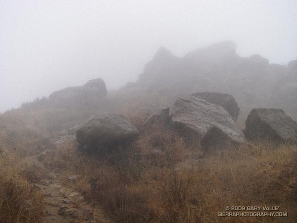
Rocky Peak Rainstorm

Rocky Peak Rainstorm

Clouds swirled around me as I worked up the steep trail toward an overlook near Rocky Peak. I stopped and listened to the patter of the rain against the rocks, its intensity rising and falling with the gusts of wind.

The wind-driven rain trickled down my face, tasting cool and clean. It didn’t matter that my running clothes were soaked and that with each gust I could feel a chill. It was raining!

In the same manner that a color will sometimes appear especially pure and vibrant, there was an unusual liveliness to this rain.

Vibram FiveFingers KSO

Vibram FiveFingers KSO

Updated August 11, 2013.

At one time or another, most of us have run barefoot — on a beach or in a park, or certainly somewhere as a child.

As a result of the insight and enthusiasm of Barefoot Ted McDonald, and the publication of Christopher McDougall’s book Born to Run, runners have been swept into a new era of minimalist running using Vibram FiveFingers (VFFs). Now a runner can, with VFFs and a little care, run trails virtually barefoot.

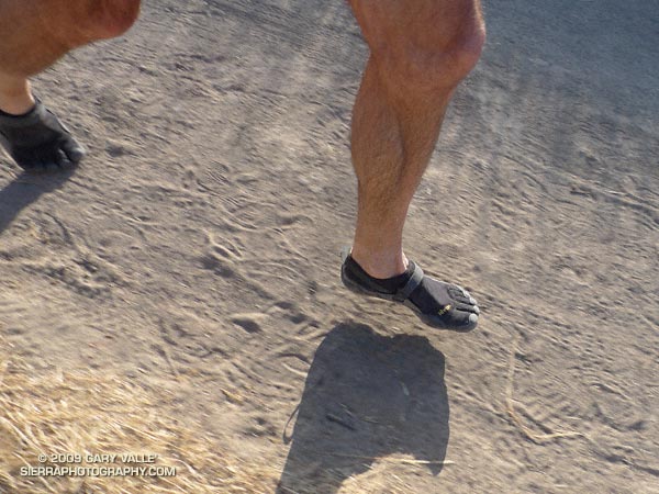
Recently, while in Kernville, California, I stopped by Sierra South Paddlesports and picked up a pair of Vibram FiveFingers KSOs. After kayaking in the VFFs a couple of days, the next step was to try them on a short weekday run. One of my usual weekday running sites, Ahmanson Ranch, seemed like a good place to start.

The course I’d picked for the run was mainly on dirt road, but also included some single track. Trail surfaces were a mix of sun-baked dirt and sand, with a couple of short rocky sections. There was one moderate climb with an elevation gain of about 250 ft. The plan was to take a regular pair of running shoes in a pack, and switch shoes at the first sign of a problem.

From talking to other runners and reading about their experiences, I had some idea of what to expect, but was still a little apprehensive. One very common comment was to “not overdo it.” As enamored as I was about running in VFFs, running shoes have worked well for me for 35+ years. It would be really stupid to suffer my first debilitating injury (other than a few rolled ankles) running in the VFFs!

I had given a lot of thought to how I was going to run in the VFFs. My conclusion was not to dramatically change my running technique, but to refine it. Having rock climbed for many years, my goal was to use my legs and feet as appendages, rather than pogo sticks, gently meeting the ground on each stride with precision and “feel.”

It worked! Although I was prepared to switch to regular shoes, much to my surprise, it wasn’t necessary. Running in the VFFs was different, but not the bizarro experience I had imagined. There were even moments when I was just running, and did not have to concentrate on technique and footfalls. At the end of the run I felt good  — no blisters, no bone bruises, no other problems.

After dinner I noticed a different pattern of fatigue in my legs, and my feet felt a little warm and tingly, but there was no soreness or pain. The following day I ran a tough 8 mile course on the Backbone Trail (in regular shoes) and didn’t feel any unusual tweaks or twinges.

Echoing the comments of other runners, I think the key is to not overdo it. Running barefoot used to require a buildup of toughness, strength and skill. Some say the VFFs shortcut that process, and injuries are more likely. Keeping that in mind, I’ll probably run in the VFFs every week or two, and slowly build skill and strength.

Or not… It was hard to curb my enthusiasm, and I used the VFFs on four consecutive weekday runs. Two of the runs were at Ahamnson Ranch, a great area for the VFF newbie, but the other two were on more technical and less forgiving trails. By the fourth day my calves were wasted. This made it difficult to run with good VFF technique — particularly on rocky downhills. The result was a slight bone bruise on my left heel.

Update 08/11/13. Research suggests caution when transitioning to minimalist shoes. See Barefoot Running Can Cause Injuries, Too (The New York Times) and comments.

Update 08/21/12. “Barefoot sports shoes or toed running shoes” will not be permitted to be worn in the 2012 Bulldog 50K and 25K.

Update 02/10/10. I’ve been running in VFFs about once a week for several months now, and really enjoy running in them. Not only is it fun, I think running in the VFFs is refining my running technique so that it is lower impact. Now there’s research that suggests this may be the case. For a comprehensible look at the science of running barefoot, and in VFFs, see Biomechanics of Foot Strikes & Applications to Running Barefoot or in Minimal Footwear.

Tri-Peaks, Sandstone Peak and the Backbone Trail

Sandstone Peak, the highest point in the Santa Monica Mountains.

We had been scrambling up the rocky north ridge of Boney Mountain for almost an hour. During that time the clouds along the crest seemed unable to make up their mind — thickening, then thinning, gathering then dissipating. Now, as we climbed the final steep step to the crest, they were gathering and thickening once again. I wondered how difficult the route-finding was going to be in a pea soup fog.

The plan was to work up and over Tri-Peaks to Sandstone Peak, then backtrack on the Backbone Trail to the Chamberlain Trail, following it down into the Sycamore Canyon drainage. From there we would see.


Big Dome from Tri-Peaks, in the Boney Mountain Wilderness
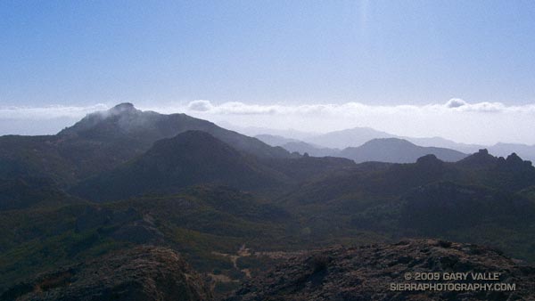
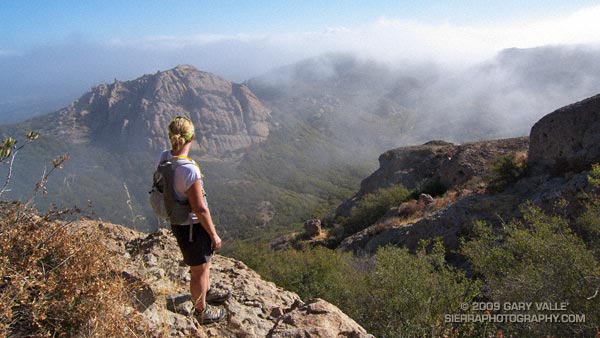
Cresting the top of the ridge, I paused to get oriented. Across the canyon, Tri-Peaks lay cloaked in clouds, with only its broad base visible from my vantage point. As we traversed along the cliff toward the peak’s northern flank, nebulous patches of cloud whisked by, carried on a brisk breeze. Reaching a saddle, we wove our way through giant boulders and chaparral to the crags that form Tri-Peaks’ summit.

As if passing through a hidden portal, the clouds dissolved as we worked over to the south side of the peak — opening to a brilliant blue sky. Across the canyon, Big Dome had wrestled free of its tentacles of fog, and to the east, Sandstone Peak stood Everest-like, its summit wreathed in a veil of cloud.

It was a day energized with the zeal of Autumn — a day to climb a peak, and then run down a mountain, across a valley, and over a distant horizon.

Some related posts: Sandstone Peak from Wendy Drive, Boney Mountain North Side Loop