Category Archives: weather|southern california

The Malibu Creek State Park Redwoods Are Dying

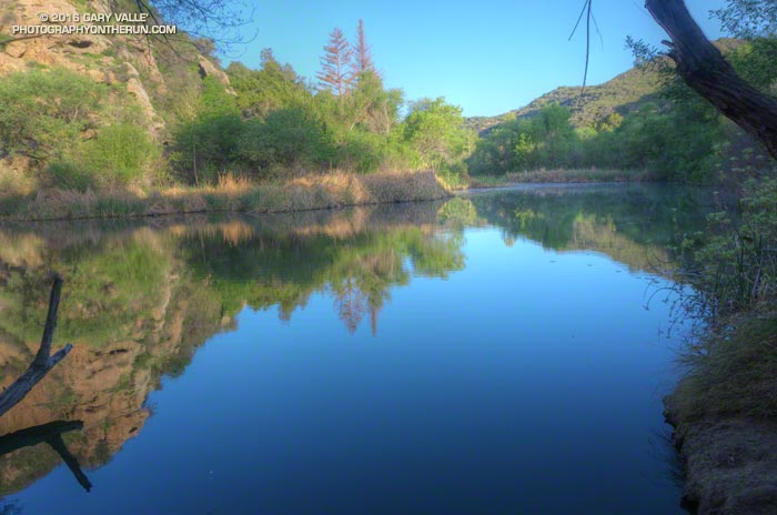
Century Lake, Malibu Creek State Park. March 26, 2016.

Illuminated by a just-risen sun, Goat Buttes reflected sharply on the lake’s surface. Ducks squabbled near some reeds and a bullfrog’s resonant croaking filled the canyon.

Part way through the Bulldog Loop, I’d paused for a moment at Century Lake in Malibu Creek State Park to enjoy the tranquility of the early morning. I snapped a photo and then noticed something very disturbing. The hundred year old coast redwoods across the lake looked brown.
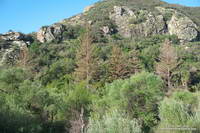
Dying coast redwoods at Century Lake in Malibu Creek State Park. March 26, 2016.
Dying coast redwoods at Century Lake in Malibu Creek State Park

I tried to convince myself it was just the golden hue of the warm morning light, but it wasn’t. From Crags Road I could see at least one tree appeared to be dead, and most of the others were highly-stressed, if not dying. A detour to the other side of the lake on the Forest Trail confirmed the bleak situation.
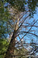
Dead coast redwood at Century Lake in Malibu Creek State Park. March 26, 2016.
Dead coast redwood at Century Lake

Although coast redwoods have been planted in several areas of Southern California, they do not occur naturally here. The southernmost stand of naturally-occurring coast redwoods is about 200 miles north of Malibu Creek State Park in the Southern Redwood Botanical Area of Las Padres National Forest.

Redwoods have widespread, but shallow, root systems. Drought and warming temperatures are a worst case scenario for these trees, with the upper layer of soil being moisture-starved and baked.

The redwoods appeared to be healthy in June 2011, August 2012, and January 2013. This photo was taken December 13, 2014 and may show the first hint of discolored and thinning foliage. On May 1, 2015 — just 4 1/2 months later — Google Earth imagery clearly shows several discolored trees.
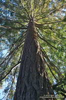
This coast redwood along the Forest Trail shows some foliage discoloration, but is in better shape than the trees closer to Century Lake.
This redwood is in better condition than those along the shore of Century Lake.

Ironically the redwoods closest to the lake appear to be the most severely affected. This tree away from the lake on the Forest Trail appears to be in better shape, but it too is showing signs of stress.

Malibu Creek State Park isn’t the only locale in Southern California where redwoods are dying. According to this May 2015 San Gabriel Valley Tribune article, 15 redwoods were removed from Verdugo Park in Glendale, and redwoods in other areas of Southern California have also been affected.
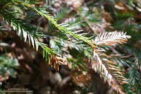
Browning foliage of a coast redwood along Century Lake in Malibu Creek State Park.
Browning foliage of a coast redwood in Malibu Creek State Park

As mentioned in an earlier post, the 2004 article “What’s up with the redwoods?” by James Downer, discusses a dramatic decline in coast redwoods planted in Ventura County and describes some of the problems that can affect this tree.

Drought and climate impacts are not limited to redwoods in Southern California. Endemic redwoods, particularly those in the southern extent of their range have also been significantly impacted.

Redwoods update July 27, 2016: Malibu Creek State Park Redwoods: Fighting the Drought

Some related posts: Malibu Creek State Park Coast Redwoods, Reeds and Redwoods, Coast Redwoods Along the Forest Trail

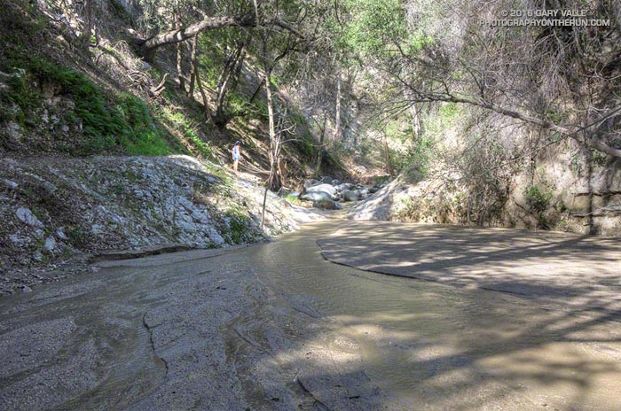
Arroyo Seco Sedimentation

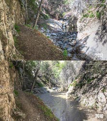
Sedimentation on Arroyo Seco upstream of Bear Creek

Since kayaking Arroyo Seco with Gary Gunder during the 1997-1998 El Nino, I’ve enjoyed revisiting the many drops and falls along Arroyo Seco when running in the area.

When we did the Bear Canyon loop a couple of weeks ago, I was amazed to see many of Arroyo Seco’s stream features were nearly filled in with sediment. This image comparison shows a drop below Switzer Falls in March 2012 and in March 2016.

Arroyo Seco Sediment 2012 vs 2016.
Arroyo Seco Sediment 2012 vs 2016. Click for larger image.

Doing a little sleuthing using Yelp reviews of Switzer Falls, it looks like the creek had low sediment levels in early January 2014, but was heavily silted in mid-March 2014. Based on this, it appears that the initial sedimentation event occurred during the  storms of February 26 – March 2, 2014, when nearby Opids Camp recorded 10.95 inches of rain.

The origin of the 2009 Station Fire was in the Arroyo Seco watershed and it was one of the most severely impacted. A question that comes to mind is why did the Arroyo Seco drainage produce such a high rate of stream sedimentation in the February-March 2014 rain event, but not in the very high flows of February 2010 and December 2010, and the moderately high flows of March 2011?

Some of the factors likely include vegetative cover, rainfall rate, recent rainfall history, the soil’s hydrophobicity, the soil support provided by degrading root systems, the magnitude of the peak flow and the shape of the stream discharge curve. Our multi-year drought has been an amplifying factor, further reducing vegetative cover and soil support.

For more information regarding the history of the Arroyo Seco watershed and plans for its rehabilitation see the Arroyo Seco Foundation web site.

Should Los Angeles Have Had More El Nino Rain?

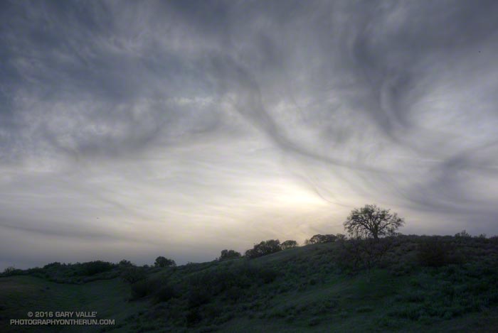
Cirrus clouds

Originally posted January 7, 2016 and rewritten to reflect the current rainfall totals for Downtown Los Angeles. Rain season totals have been updated as of March 31.

Based on 1981-2010 climate normals Downtown Los Angeles (USC) receives, on average, 1.04 inches of rain in November, 2.33 inches of rain in December, and 3. 12 inches in January. This past November Los Angeles recorded only 0.01 inch of rain, and in December only 0.57 inch. January rainfall was a few hundredths above normal at 3.17 inches.

The 2015-16 El Nino is one of the three strongest El Ninos in the past 65 years; the other two were 1982-83 and 1997-98. How does the amount of rain we’ve had so far this rainfall year compare to the other two? Is this El Nino failing to produce the expected amount of rainfall in Los Angeles?

On January 7, when this post  was originally written, the rain year totals were in the same ballpark for the date as during the 1982-83 and 1997-98 El Ninos. That is no longer the case, and Los Angeles rainfall totals are falling far behind those other big El Ninos.

As of January 31 Downtown Los Angeles (USC) has recorded only 6.97 inches of rain for this rain year, which is 0.47 inch below normal. At this point during the 1982-83 El Nino Los Angeles had already recorded 12.98 inches of rain, and in the 1997-98 El Nino 9.15 inches. (See updates below.)

The good news is that the Sierra snowpack is above average. That helps with the water supply, but not so much with naturally-occurring local groundwater and other drought impacts in Southern California. It does help that the Los Angeles rain year total is nearly normal, but I’m still waiting to see running water in upper Las Virgenes Creek.

Remarkably, as of this morning, the medium range models are forecasting dry weather to predominate over the next 10 days or so and both the GFS and ECMWF show a mega-ridge of high pressure developing over the West Coast this weekend.  We’ll see!

Update:

As of March 31 Downtown Los Angeles (USC) has recorded only 9.36 inches of rain for 2015-16 rain year, which is 68.5% of normal. At this point during the 1982-83 El Nino Los Angeles had already recorded 25.72 inches of rain, and in the 1997-98 El Nino 26.89 inches. All the data for the April 1 Sierra Snow Course Measurements are not available yet, but it looks like the snowpack will be around 85% of normal. In 1983 the weighted statewide average snowpack was 227% of normal and in 1998 it was 158% of normal.

You Can’t See Far in a Cloud

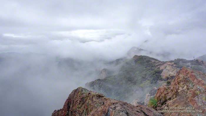
Clouds along the crest of the Santa Monica Mountains near Sandstone Peak

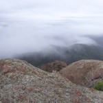
For the most part the upper layer of clouds had been above Boney Mountain. Thin wisps of cloud had clung to the ridges in a couple of places, but the ceiling looked like it was going to remain above the peak.

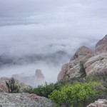
But then something unusual happened. A lower deck of clouds formed in the Conejo Valley, and then expanded upward, enveloping me as I worked up Boney’s Western Ridge. It wasn’t a whiteout, but in places the visibility was reduced to about twenty feet.

Fog changes the mood and character of a place, particularly a place where airy views and an expansive mindset are the norm. Thoughts turn inward and perceptions more narrowly focused. The big picture becomes entirely virtual.

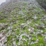
Earlier in the week the area had been drenched by more than two inches of rain. It had been damp overnight and water filled the profusion of irregular pockets covering the volcanic rock. The rock was plastered with a patchwork of bright green moss and gray-green lichen. Saturated with water, the moss was slippery as ice. I climbed with extra care, especially on the steeper sections.

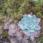
Where soil collected on tiered steps, obovate leaves of shooting-star and other annuals sprouted, presaging a show of the purple and yellow wildflowers. Chalk liveforever relished the moisture, its drought-scarred leaves rehydrating and recovering.

Higher on the ridge the intricate green foliage of red shanks, still recovering from the 2013 Springs Fire, was heavily-beaded with water. Brushing against it was like being sprayed with ice-cold water.

I remained immersed in cloud all the way up the Western Ridge, past Tri Peaks and over to Sandstone Peak, and didn’t climb above them until near the summit of Sandstone Peak.

A few photos from the climb and run are below. Click an image for more info and to display the image full-size.

Related post: Increasing Clouds

Increasing Clouds

Pt. Mugu State Park from the Chamberlain segment of the Backbone Trail

The last couple of days I’d been checking the weather models to try and get an idea of when the cold front might reach Pt. Mugu State Park. Projections ranged from around 10:00 AM to about 1:00 PM.

A group of us were doing an annual end of the year trail run and scramble over Boney Mountain to the Backbone Trail, and then returning by various routes to the Wendy Drive trailhead. Along the way there are great views of the Boney Mountain Wilderness, Channel Islands, Conejo Valley and Ventura Mountains, but you can’t see very far from inside of a cloud.

Runners on the crest of the western ridge of Boney Mountain.
Boney Mountain’s Western Ridge

It turned out clouds would not be a problem. At least not the first half of the day. When I pulled into the parking area at Wendy Drive the front was little more than a white smudge on the western horizon. The sky was clear and it remained clear the entire time we worked up Boney’s Western Ridge. Everyone enjoyed scrambling up the gullies and rocks to the top of the mountain and then over to Tri Peaks.

View west from Sandstone Peak, the highest peak in the Santa Monica Mountains
Approaching cold front from Sandstone Peak

We’d reached Tri Peaks about 40 minutes ago. From there I’d run over to Sandstone Peak, the highest peak in the Santa Monica Mountains. From this panoramic vantage point I could see the front was still well to the west, near Santa Barbara. This gave me some time. I was prepared for rain, but didn’t want to miss the wonderful scenery running down the Chamberlain Trail, over to Serrano Valley, and through Serrano Canyon.

Sycamore Canyon near the Danielson Multi-Use Area.
Increasing clouds near Danielson Ranch

Over the remainder of the run I watched as cirrus clouds ahead of the front gradually muted the sun, mid-level clouds began to develop over the peaks, and the wind became more gusty and fitful. Later in the run the clouds started to lower and thicken and the temperature dropped. Eventually it began to smell like rain.

Cold front moving into Pt. Mugu State Park
Here comes the rain!

As I crested the hill on Danielson Road I felt a cold drop of rain on my arm and then another on the back of a leg. Clouds covered the sky, and to the west showers draped the ridges and filled the canyons. The front and I were racing the last mile to the trailhead, and I knew who had won.

Waiting for Rain: El Nino and the 2015-16 Southern California Rainfall Year

Thunderstorm over the Santa Monica Mountains

Due in part to El Nino and the Madden-Julian Oscillation (MJO) Southern California jump-started the 2015-16 rain season with above average rainfall in July and September.

Last year the NWS changed the WATER Year to October 1 – September 30, but the RAINFALL Year remains July 1 – June 30, as it’s been for decades.

Below is the monthly tabulation of rainfall for Downtown Los Angeles (USC) for the 2015-16 Rainfall Year, along with what is considered normal for the month.

Downtown Los Angeles Rainfall
Month Rainfall Normal
July 0.38 0.01
August T 0.04
September 2.39 0.24
October 0.45 0.66
November 0.01 1.04

So far this rainfall year Downtown Los Angeles (USC) has recorded 3.23 inches. Even with November as dry as it’s been we’re still more than an inch above normal for the rainfall year — about 1.46 inches above normal as of November 25.

Over the next couple of weeks the medium range models and other tools aren’t especially bullish on our chances for a good, soaking rainstorm in Southern California. Longer term guidance suggests an improving chance of precipitation as December progresses, and above average precipitation in January and February. We’ll see!

The title photo is from November 3. It shows a band of thunderstorms that moved southward across the San Fernando Valley and into the Santa Monica Mountains. The band produced cloud to ground lightning strikes and some heavy showers. Saddle Peak is in the distance on the left. The shower activity in the distance on the right is in the area of Kanan Rd. and the 101 Frwy.