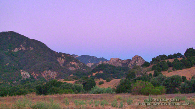
Rocky Peak Heat

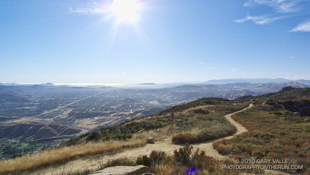
Simi Valley from Rocky Peak

Simi Valley and the Pacific Coast from Rocky Peak Road

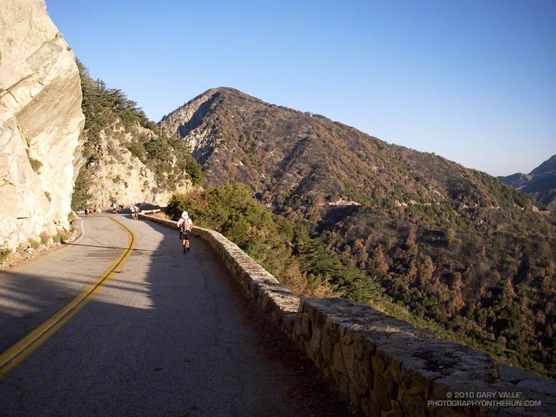
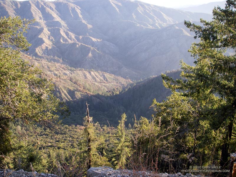
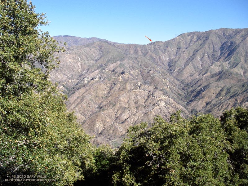
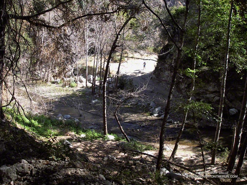
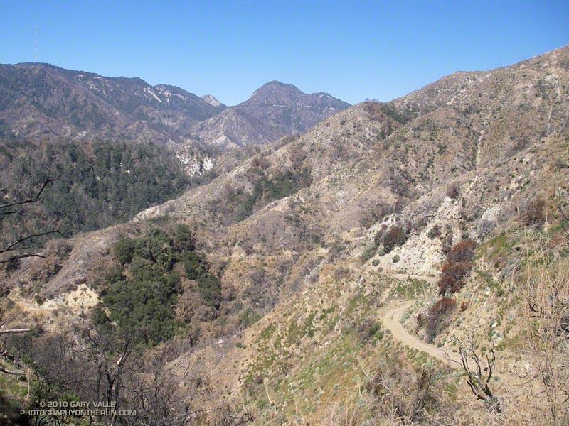
What better way to recover from the Bulldog 50K than running Ahmanson and Rocky Peak on two of the hottest days of the year?

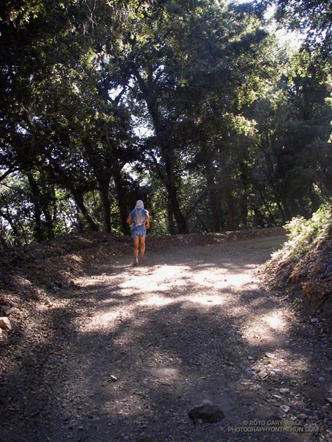
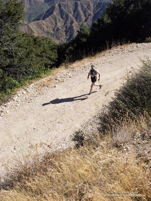
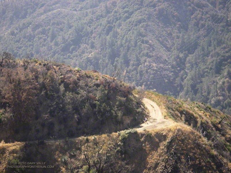
Yesterday, Pierce College in Woodland Hills hit a scorching 111°F, and then today 109°F. At the start of today’s run it was still over 100°F on Rocky Peak, but extra (ice) water, and a bit of a breeze kept things mostly reasonable.

No matter the weather, you’ll always see someone else on Rocky Peak!

Some related posts: Rocky Peak Rainstorm, Snow on Oat Mountain

Bulldog 50K 2010 Notes

Goat Buttes and the Bulldog Climb from Near the Start of the Bulldog 50K

Goat Buttes and the Bulldog Climb from Near the Start

The week following the Mt. Disappointment 50K, with the Edison and Kenyon Devore climbs still etched in my mind, I noticed that the Bulldog 50K hadn’t filled yet. Hmmm… Could I do it? The little hill on my Wednesday afternoon run hadn’t felt bad. Thursday I had done a little longer run, with a little longer hill. It was no Bulldog climb, but it felt OK. I decided that if the 50K didn’t fill by Friday, and the weather forecast for the race wasn’t crazy hot, I’d give the Bulldog 50K a go.

Malibu Creek State Park is only about 20 minutes from my home, and I run the Bulldog loop frequently, but because of scheduling conflicts I’m usually unable to run the Bulldog 50K. It often falls on the same weekend as the Miracle Hot Springs Whitewater Slalom race, and just two weeks after the Mt. Disappointment 50K. This year, because of a good “El Nino” snowpack, the paddling season on the Lower Kern was going to be longer than usual, and the Miracle Race was moved to late September. But had my legs recovered enough from Mt. Dis?

Friday the 50K hadn’t filled, the weather forecast looked OK, my legs seemed to be OK, so click-click enter, click-click enter, and I was doing Bulldog.

As the week before the race progressed it became evident a) my legs were not as recovered as I had hoped, and b) race day temps were going to be a little warmer than originally forecast. The RD’s day-before-the-race email confirmed the warmer weather:

“IT WAS 82 DEGREES AND NO CLOUD COVER AT 8:30AM THIS MORNING AT THE PARK. BE PREPARED FOR HIGH TEMPERATURES AND FULL SUN ON RACE DAY TOMORROW… NSD”

Race day dawned coolish, but there was not a cloud in the sky. (Last year there had been cloud cover until around 11:00 a.m.) At the Malibu Hills weather station, the temperature at 6:00 a.m was 71°. By 8:00 it would be 80°, and by 9:00 84°. It would be even warmer in the direct sun.

Whatever the thermometer said, the temperature on the first loop wasn’t an issue. There were a couple of warm spots on the Bulldog climb, but there was also a lot of shade. Bulldog was actually pretty painless, and I commented to another runner that I wished it would be like that the second time around!

The last time I’d done the Bulldog 50K was in 2003. Back then the course wasn’t a double loop. There are pros and cons to the double loop format. Sometimes it helps to know what’s coming, and sometimes it doesn’t. It depends on what kind of day you’re having. This morning the first 25K had gone well, and as I jogged under the oaks along Malibu Creek at the beginning of the second loop, I thought maybe, just maybe, my legs would last.

It was about half-way up the Bulldog climb the second time that reality set in. The sun was 3 hours warmer, the climb longer, and gravity (for sure) stronger. I overheard another runner remark, “from here there’s no more shade.” And there wasn’t.

From the top of Bulldog it’s less than a mile of downhill to the Corral aid station. My mind liked the idea of running downhill, but after all the miles of uphill my legs were having trouble with the transition, and were getting a little crampy. It probably wasn’t a coincidence that this was also the point where I started to run out of gas. Not a full-on bonk, but there wasn’t much left in the tank.

The parts of the course I enjoy the most — running through the rock formations east of the Corral aid station, and the panoramic views of the ocean and mountains from Mesa Peak fire road — were a bit of a struggle. It helped to talk with some of the runners along the way. There were new runners, old runners, fast runners, and slow. Every runner has a different story, perspective and challenge.

Eventually I reached the start of the long, sometimes steep, downhill to Tapia Park. On the way down, one runner that passed me commented, “I was looking forward to this section, I didn’t expect it to be so hard!” No argument there. After cooling off at the Tapia aid station, it was on to another tough part of the course. I was prepared for the Tapia Spur Trail to be an oven, but a nice breeze kept the temperature reasonable.
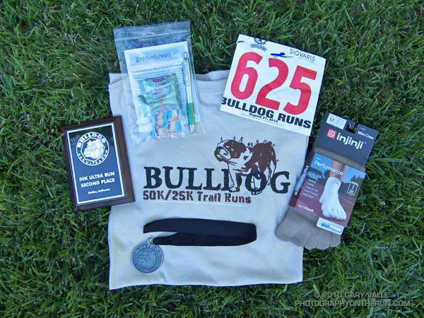


I had been warned that the final little climb up the paved road and around to the finish would be a killer. It was a long, long half mile, and at one point I wondered if the course might continue past the entrance station and out of the park! A couple minutes later I was across the finish line. And about a minute after that I was eating a big chunk of ice cold watermelon!

Many thanks to R.D. Nancy Shura-Dervin and Larry Dervin, all the volunteers, sponsors, support personnel, and runners for a great race. The aid station volunteers were fantastic. All I had to do was soak my head in ice water while my bottles were being filled!  For Nancy’s race report, all the results, and 2000+ photos, see the Trail Run Events web site.
Mt. Disappointment 50K 2010 Notes

Mt. Disappointment 50K 2010

Note: The Mt. Disappointment Endurance Run is now the Angeles National Forest Trail Race.

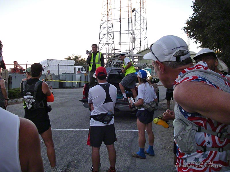
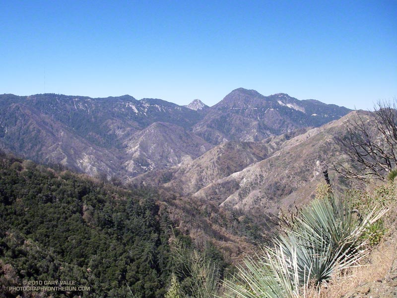
The most remarkable thing about this year’s Mt. Disappointment Endurance run is that there was a 2010 race. The Station Fire and heavy Winter rains decimated the San Gabriel Mountains. Without the hard work and dedication of Gary & Pam Hilliard and a host of volunteers the 6th edition of the race never would have happened.


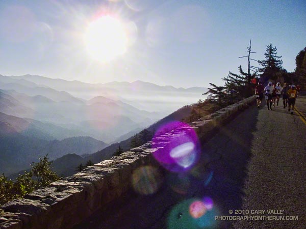
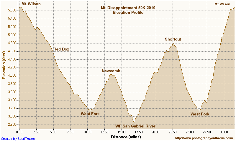
There were some changes in the course. After descending from Mt. Wilson to Red Box, the 50K course normally goes down to Clear Creek Station, circuits Strawberry Peak, and then returns to Red Box. Not this year. The Colby Canyon and Strawberry Trails were particularly hard hit by rock slides and washouts, and could not be used.  Instead, after running down to Red Box, we hung a right and continued down Red Box Road to the West Fork aid station. Usually done after mile 20, it was great to run this segment while it was still cool, and I had some life left in my legs.

At West Fork, after ten miles of downhill and losing 2600′ in elevation, the infamous 16 mile Shortcut loop begins. Usually part of the Mt. Dis 50 mile course, the Shortcut loop is best known for it’s scorching 5.6 mile, 2000′ climb up Edison Road to Shortcut Saddle. It’s one of those climbs that doesn’t look that bad on paper, but a topo map doesn’t show the sun beating down on your head mile, after mile, after mile. Fortunately, the weather was kind. The high on Mt. Wilson only reached 73 degrees — several degrees cooler than the usual temperature for this race.


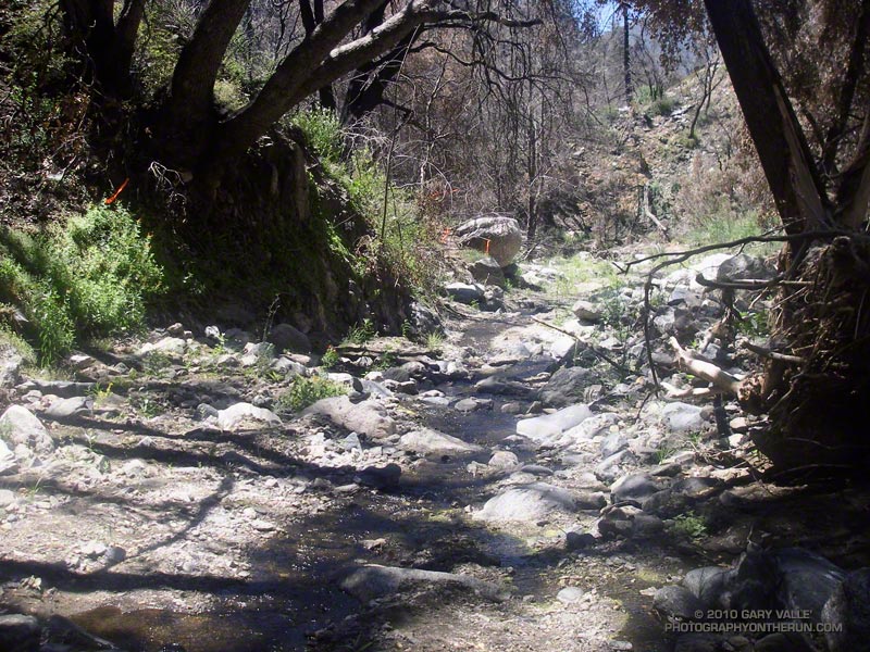
Wow, the Edison climb and the Kenyon Devore climb all in one 50K! But what are two classic climbs without a tough descent in between? The Silver Moccasin Trail between Shortcut and West Fork was obliterated by slides, debris flows and flash flooding. Hours and hours of work were done on the trail to make it passable. In the lower half of the canyon, flooding and debris flows widened the streambed, making it difficult to connect the remnants of old trail into a recognizable path. The challenge wasn’t staying on the course, it was very well marked, but trying to pick the best route through a maze of sand, stream, cobble, and bits and pieces of the old trail.

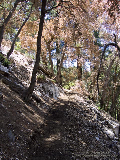
Then came the Kenyon Devore climb.  After doing 10 miles of fast-paced downhill, the Edison climb, and the Silver Moccasin rock dance, the ascent of Kenyon Devore was not easy! But it never is! There were a couple of newly fallen trees to clamber over, and some other challenges, but all-in-all it was the same classic climb.


To borrow an old rock climbing quip, an endurance run “ain’t no weenie roast,” and this year the Mt. Disappointment 50K was just a bit  more of a challenge. Here’s an elevation profile, and a Cesium browser View of a GPS trace of the course. In SportTracks my trace of the course worked out to about 31.6 miles. This is a mile or so shorter than the web site mileage because Mueller Tunnel was closed and we skipped the Mt. Disappointment section. The mileages in the Google Earth view are from my trace of the course, and may not be accurate.

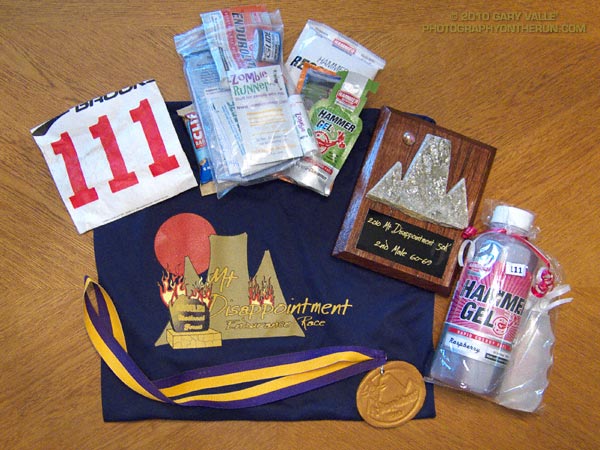
Congrats to the overall Men’s and Women’s winners Patrick Sweeny (4:40:46) and Sada Crawford (5:28:17). Patrick ran the race in Vibram Five Finger KSO Trek’s. Check out all the results on the Mt. Disappointment web site!

Here are a few photos. Click for a larger image and description:


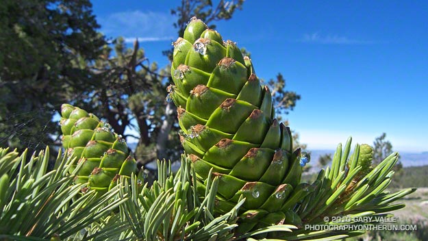
Limber Pine Cone

Developing Limber pine cones

Developing cones on a limber pine near the start of the Vincent Tumamait Trail on Mt. Pinos (8831′). Limber pines are a hardy, 5-needled, species generally found at higher altitude in the western U.S.

Limber pine (Pinus flexilis) is a white pine, related to whitebark and bristlecone pines. They are slow growing, and can be very long-lived. According to the Gymnosperm Database, two trees have been crossdated with ages of about 1600 years.

In Southern California limber pines are found on Mt. Pinos, Mt. Baden-Powell, San Gorgonio Mountain, Mt. San Jacinto, and some other areas above about 8500′.

Related post: Forest Green

Lost World

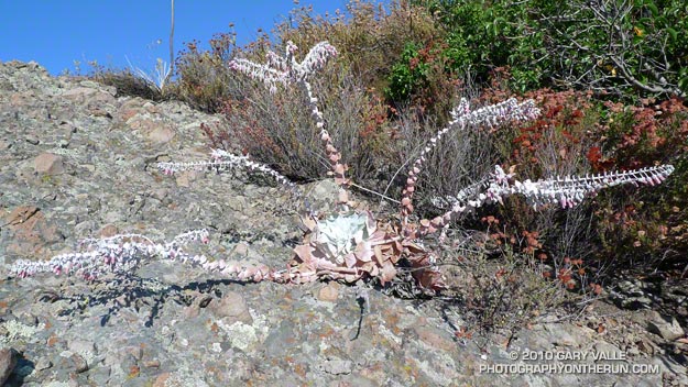
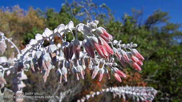
Chalk liveforever (Dudleya pulverulenta)

It was eerily quiet high on the mountain. No birds chattered in the chaparral, and it was so still the mountain seemed to be holding its breath. Sometimes in cloud and sometimes in sun I made my way along the rocky ridge. Was I on the correct route? In the thick brush and towering rocks it was hard to tell.

Descending along a narrow, rubble strewn path, I stopped at the base of a rocky outcrop. An odd plant was growing on the steeply inclined face, and I climbed up to take a closer look.

The plant looked as if it belonged in the Triassic. Long tentacle-like stalks radiated menacingly from a central spiral of pointed, wedge shaped leaves. The outer leaves of the rosette were wilted and rusty, and the entire plant had the chalky appearance of something that was part alive, and part dead.


I couldn’t quite see the structure of the flowers and leaned closer to take a photo. Suddenly…

This is the point in the story where the plant should grab me, or release a puff of toxic dust from its flowers, or do something equally malevolent. Not this time. But I can’t think of a more bizarre looking plant than a chalk liveforever on a rocky outcrop in full bloom.

From Sunday’s Clouds & Crags trail run.

Some related posts: Chalk Liveforever, Canyon Liveforever

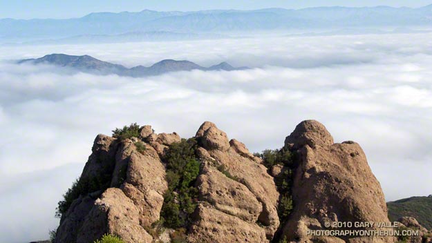
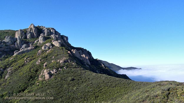
Clouds and Crags

The clouds are in the Conejo Valley and the crags are a prominent highpoint on the ridge that tops the west face of Boney Mountain. Here’s a Google Earth aerial view SSE along the ridge that shows the topography. From the upper cliffs the west face drops over 2000′ to the Backbone Trail in Blue Canyon.


Ascending the western ridge, or easier eastern ridge, is an adventurous way to access the Backbone Trail from Wendy Dr. Once over Tri-Peaks and on the Backbone Trail several loop variations are possible. These range from a relatively direct return on the Boney Trail, to lengthy excursions to Serrano Valley or La Jolla Valley.

Today’s variation worked out to about 20 miles. Once on the upper section of the Backbone Trail, I followed it west down the Chamberlain, Boney and Blue Canyon trails to the Danielson Multi-use area in Sycamore Canyon. After doing a circuit in Sycamore Canyon I picked up the Upper Sycamore Trail and headed back to Danielson Road, Satwiwa, and the trailhead at Wendy Drive.

Some related posts: Boney Mountain Western Ridge & Loop, Sandstone Peak from Wendy Drive, Boney Mountain North Side Loop

Photography and inspiration from running and other adventures in the Open Space and Wilderness areas of California, and beyond. No ads. All content, including photography, is Copyright © 2006-2024 Gary Valle. All Rights Reserved.