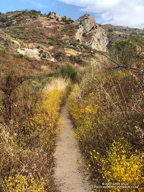
The 17.5-mile Trailer Canyon – Santa Ynez Canyon Trail – Trippet Ranch Loop is a longer version of the venerable Trippet Ranch loop from the Top of Reseda. It might also be called the Three Vistas Loop because it visits three high points in Topanga State Park with 360-degree, panoramic views.
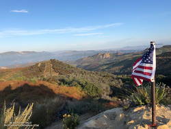
The run starts and ends the same as the Trippet Ranch Loop. After running up to the Hub on Fire Road #30, instead of continuing straight on Eagle Springs Fire Road, this route turns left on Temescal Ridge Fire Road. The fire road is followed up to where the Backbone Trail single-track forks left off the road. The Backbone Trail is followed a tenth of a mile east, where a path leads up and left to the top of Temescal Peak.
The view from this little peak is superb. On a day with good visibility, the view can extend beyond Mt. Baldy to San Gorgonio Mountain and San Jacinto Peak. The next overlook on this route, Temescal Lookout, is about a half-mile (as the crow flies) to the south. The third overlook, Eagle Rock, is about a mile to the west.
From Temescal Peak, the route returns to Temescal Ridge Fire Road. I usually follow the use-trail back down and across the Backbone Trail and then continue on the use-trail to the fire road.
The next stop, Temescal Lookout, is about a mile from the top of Temescal Peak and just off Temescal Ridge Fire Road. When doing this loop, I run up a dirt access road on the north side of the lookout and then descend a use trail on the south side. Once the site of a fire lookout, it also has an excellent view. This photo of Downtown and San Jacinto Peak was taken from the viewpoint.
Once back on Temescal Ridge Fire Road and headed south, it’s less than a half-mile to the turn-off down Trailer Canyon Fire Road and then another 2.3 miles down to Michael Lane in Pacific Palisades. On the way down, there are good views of where the loop is headed next — Santa Ynez Canyon. A large part of Santa Ynez Canyon was burned in the May 2021 Palisades Fire.
After turning right (west) on Michael Lane, the street is followed around and down to Vereda de la Montura. A right turn here leads to the Santa Ynez Canyon Trailhead in about a quarter-mile. This is where some route-finding fun begins.
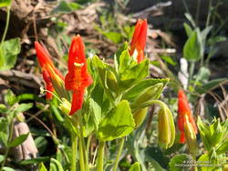
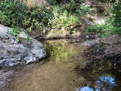
Heavy rains in December 2021 washed out sections of the Santa Ynez Canyon Trail. During the 2022-2023 rain season, the trail took it on the chin again. The good news is the trail sees a lot of use and the washed-out sections are becoming reestablished. There was still a little running water in the creek. Part way up the canyon, I was surprised to find pennyroyal blooming along the trail.
A bit more than a mile from the trailhead, the Santa Ynez Canyon Trail climbs out of the bottom of the canyon and up onto a broad ridge. Another mile of uphill, and it tops out at Eagle Springs Fire Road. After turning left, it’s less than a half-mile down to the Trippet Ranch parking lot.
The previous weekend I’d done the Trippet Ranch Loop, so knew what the expect on the remainder of the run. Other than being a little overgrown, the Musch Trail was in reasonable shape. There were still some late-season blooms of showy penstemon, yellow monkeyflower, and white snapdragon along the trail. This time of year, the round pincushions of buckwheat are common. Water was available at the start of the Musch Trail and at Musch Camp.
Reaching the top of the Musch Trail, high clouds kept the temperature comfortable as I worked up Eagle Rock Fire Road. At the turn-off to climb Eagle Rock, digger bees had established a temporary colony on the fire road. In my experience, these bees are not aggressive, BUT many sources — such as this news item from ISU Extension and Outreach — say the female bees can sting.
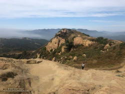
Eagle Rock is the third viewpoint on the loop, and the most popular. The massive rock formation overlooks Santa Ynez Canyon and has an airy, 360-degree view. On a clear day, Santa Monica Bay, Palos Verdes Peninsula, and Catalina can be seen to the south. On weekends, it’s rare to find the top empty. The summit had just been vacated as I climbed up and was reoccupied by another hiker as I walked down.
Returning to Eagle Rock Fire Road, I turned right and continued northeast a tenth of a mile to the top of the Garapito Trail.
A little more than three miles long, the Garapito Trail is one of my favorite trails in the Santa Monica Mountains. Several sections of the trail are overgrown at the moment. At one point, not too far from Fire Road #30, it was necessary to bushwhack through a dense patch of six-foot-tall giant rye grass.
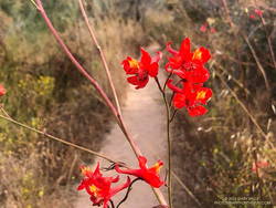
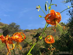
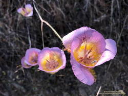
Two lilies listed on the CNPS Inventory of Rare and Endangered Plants of California were blooming along the Garapito Trail — Plummer’s mariposa lily and Humboldt lily. Both plants have a Rare Plant Rank of 4.2, which indicates they are of limited distribution and moderately threatened in California. Thanks to our very wet rain season, the eye-catching red of scarlet larkspur was unusually prevalent along the trail.
The Garapito Trail ends at Fire Road #30. Normally the route would cross the fire road and follow the Bent Arrow Trail to dirt Mulholland, but the trail was damaged by rainy season storms and is still closed.
Turning left onto Fire Road #30, I retraced my steps from earlier in the morning and in a few minutes was back to the trailhead at the Top of Reseda (Marvin Braude Mulholland Gateway Park).
Explore the scenery and terrain of the Trailer Canyon – Santa Ynez Canyon Trail – Trippet Ranch Loop using our high resolution, interactive, 3D viewer. The imagery is so detailed, it’s almost like being there! To change the view, use the control on the upper right side of the screen, the CTRL key and your mouse, or touch gestures. Track and placename locations are approximate and subject to errors. Poor weather, and other conditions may make this route unsuitable for this activity.
Some related posts: Trippet Ranch Loop Plus the Santa Ynez Trail, Garapito Trail Runs, Go Figure, Trippet Ranch Wildflower Run, Eagle Rock – Topanga State Park
