Lost World

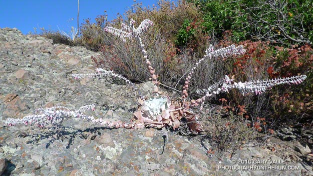
Chalk liveforever (Dudleya pulverulenta)

It was eerily quiet high on the mountain. No birds chattered in the chaparral, and it was so still the mountain seemed to be holding its breath. Sometimes in cloud and sometimes in sun I made my way along the rocky ridge. Was I on the correct route? In the thick brush and towering rocks it was hard to tell.

Descending along a narrow, rubble strewn path, I stopped at the base of a rocky outcrop. An odd plant was growing on the steeply inclined face, and I climbed up to take a closer look.

The plant looked as if it belonged in the Triassic. Long tentacle-like stalks radiated menacingly from a central spiral of pointed, wedge shaped leaves. The outer leaves of the rosette were wilted and rusty, and the entire plant had the chalky appearance of something that was part alive, and part dead.
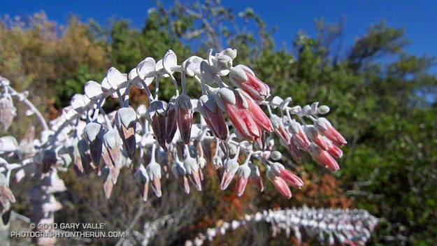


I couldn’t quite see the structure of the flowers and leaned closer to take a photo. Suddenly…

This is the point in the story where the plant should grab me, or release a puff of toxic dust from its flowers, or do something equally malevolent. Not this time. But I can’t think of a more bizarre looking plant than a chalk liveforever on a rocky outcrop in full bloom.

From Sunday’s Clouds & Crags trail run.

Some related posts: Chalk Liveforever, Canyon Liveforever

Clouds and Crags

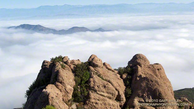
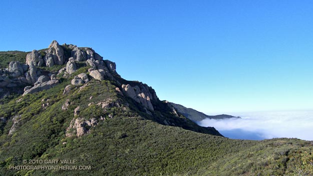
The clouds are in the Conejo Valley and the crags are a prominent highpoint on the ridge that tops the west face of Boney Mountain. Here’s a Google Earth aerial view SSE along the ridge that shows the topography. From the upper cliffs the west face drops over 2000′ to the Backbone Trail in Blue Canyon.


Ascending the western ridge, or easier eastern ridge, is an adventurous way to access the Backbone Trail from Wendy Dr. Once over Tri-Peaks and on the Backbone Trail several loop variations are possible. These range from a relatively direct return on the Boney Trail, to lengthy excursions to Serrano Valley or La Jolla Valley.

Today’s variation worked out to about 20 miles. Once on the upper section of the Backbone Trail, I followed it west down the Chamberlain, Boney and Blue Canyon trails to the Danielson Multi-use area in Sycamore Canyon. After doing a circuit in Sycamore Canyon I picked up the Upper Sycamore Trail and headed back to Danielson Road, Satwiwa, and the trailhead at Wendy Drive.

Some related posts: Boney Mountain Western Ridge & Loop, Sandstone Peak from Wendy Drive, Boney Mountain North Side Loop

Cooler Climes

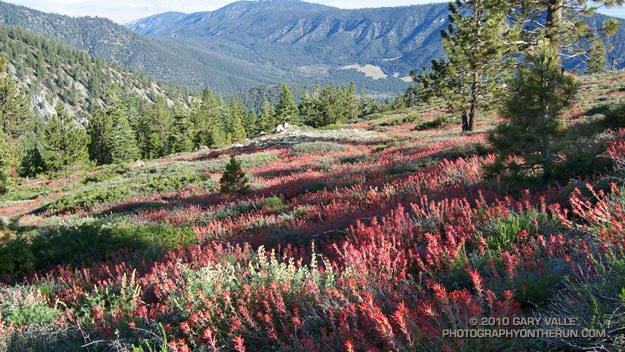
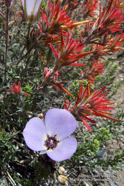
Paintbrush on the Vincent Tumamait Trail

Paintbrush on the Vincent Tumamait Trail

Thursday afternoon the temperature in Woodland Hills hit 107°F. Friday was 103°F, and Saturday 104°F. Weekdays I run in the afternoon, and after running in that heat, I needed to escape to cooler climes. One way to beat the broiling temps was to head for the high country.

There are several higher elevation areas within a couple hours drive of Los Angeles. My favorites are Mt. Baden-Powell (9399′), Mt. Baldy (10,064′), Mt. Pinos (8831′), Mt. San Jacinto (10,834′) and San Gorgonio Mountain (11,499′).


Mariposa and paintbrush
Today the choice was Mt. Pinos. It had been a few weeks since I’d run there, and the driving time to the Chula Vista parking lot on Mt. Pinos is about the same as that to Islip Saddle in the San Gabriels. Also, it’s usually cooler running between Mt. Pinos and Mt. Abel, than between Islip Saddle and Mt. Baden-Powell.

It was a little breezy and chilly up on Mt. Pinos, Sawmill Mountain and Mt. Abel. What a change from during the week. At the start of the run the temperature was about 40-50 degrees cooler than my last run at Ahmanson Ranch.

I did an extended version of the usual 14.5 mile out and back course on the Vincent Tumamait Trail. This variation drops down to Lilly Camp (6600′) on the North Fork Trail before continuing to Mt. Abel. The side trip adds about 6 miles and 1700′ of gain. It was a bit warmer down at Lilly Meadow Camp, but the air conditioning kicked back in once I returned to the main trail.

Some related posts: Running Hot & Cold, Up & Down Mt. Baldy’s South Ridge, Vincent Tumamait Trail, Autumn Trail Running on Mt. San Jacinto, San Gorgonio High Line 2009

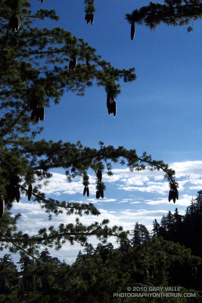
Sugar Pine Silhouette

Sugar pine

Its long limbs bending with the weight, a sugar pine reaches as far as it can to drop its heavy, resin-covered cones.

Because of its short needles and long branches, the silhouette of a sugar pine is particularly distinctive.

From Sunday’s run on the PCT.

Some related posts: Sugar Pine & Clouds, Kratka Ridge Sugar Pine