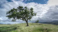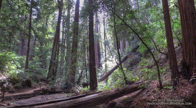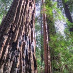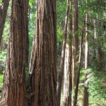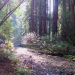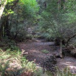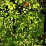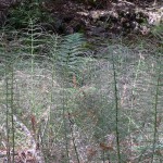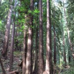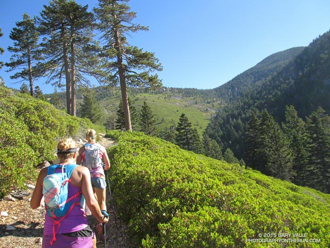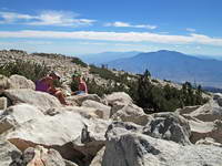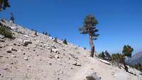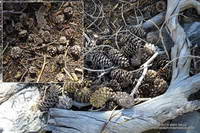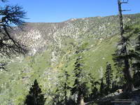
A few photographs from a morning visit to Muir Woods National Monument. Click for a higher quality image and additional information.
Category Archives: nature|trees
San Gorgonio Mountain: Falls Creek Loop October 2015
It was a little past noon and Downtown Los Angeles was about to hit a high of 100°F for the second consecutive day. From my vantage point I couldn’t quite make out Downtown; it was 80+ miles away, somewhere in the light haze to the west. Across Banning Pass Mt. San Jacinto loomed, massive and pyramidal, and down the spine of the range stood Mt. Baldy, surrounded by its siblings.
Ann, Patty and I were enjoying the summit of 11,503′ San Gorgonio Mountain following a 13+ mile run and hike from the Momyer Creek trailhead in Forest Falls. Although it is nearly four miles longer than the Vivian Creek route and gains an additional 1000′ of elevation (6500′ vs 5500′), this superb alternative is a more runnable way up the mountain, with more of backcounty feel and alpine flavor.
It was cool on the summit, but I was still warm from running what I could of the final couple of miles up the peak. In that last stretch the trail contours around Jepson Peak, passes the Vivian Creek and Sky High Trail junctions, and then works its way up to the blocky summit of Gorgonio — the highest point in Southern California.
Despite the record-setting hot weather, the temperature on the way up the mountain had been pleasant. Our pace had been conversational. Among other topics Ann told of her amazing experiences running the UTMB and Patty talked about photography and her trip to Zion. I spoke of lapse rates & compressional heating, Chinquapin nuts, and Lodgepole & Limber pines . At least for me, the miles passed with distracted ease.
From the switchbacks above Plummer Meadows you could see where the Lake Fire overran San Bernardino Peak Divide in the area of Shields Peak. The 31,359 acre Lake Fire started the afternoon of June 17 near the Forsee Creek trailhead southwest of Jenks Lake and burned a huge swath through the San Gorgonio Wilderness. The fire burned to within 0.4 mile of the summit, near the C-47B “Gooney Bird” crash site on the Sky High Trail. Here is a Google Earth view from the west along the crest of the San Bernardino Peak Divide showing part of the burn area and another view along the divide from the east. Much of the north and east side of Gorgonio is within the Lake Fire Closure Area.
After about 15 minutes on the summit it began to get chilly and it was time to head down. The descent of the Vivian Creek Trail is as much of a challenge as the ascent of Falls Creek. Although I’ve run it many times, I conveniently forget just how convoluted, rocky, and technical it is. Part way down a double-fall of huge trees completely blocked the trail. One tree had broken on impact and the route choice was to either squeeze through the fracture or go the long way around.
We had become spread out on the descent, but were now running together on Valley of the Falls Drive. This 1.4 mile stretch on pavement connects the Vivian Creek trailhead to the Momyer Creek trailhead, completing the 24 mile loop. A short distance past the Fire Station we reached the gravel parking area. No longer obscured by trees, the view opened to a panorama of mountains that looked impossibly rugged and tall. Had we really just been up there?
My legs would answer that question following the two hour drive home.
Some related posts: Falls Creek Loop August 2013, Falls Creek Loop 2012
Ahmanson Valley Oaks Battling Drought
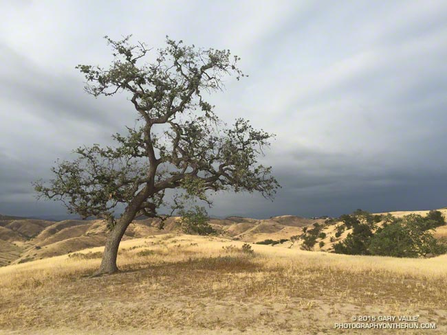
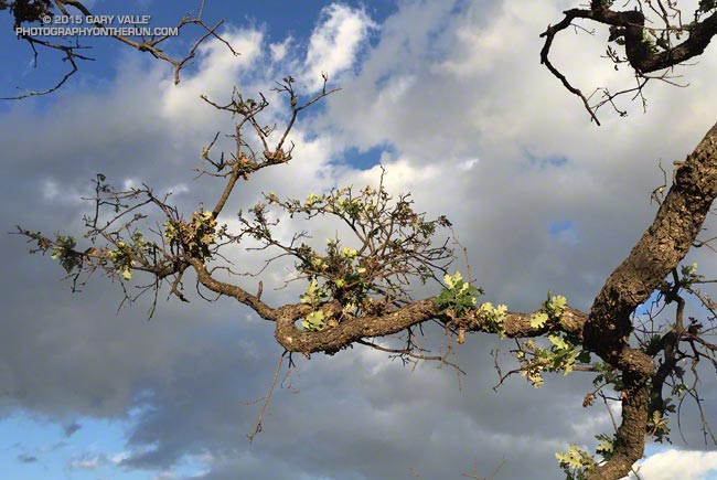
Following four rainfall years in which Downtown Los Angeles (USC) has cumulatively recorded less than half of normal rainfall and accrued a precipitation deficit of more than 30 inches, many of the valley oaks at Ahmanson Ranch (Upper Las Virgenes Open Space Preserve) are drought stressed.
The most obvious signs of drought stress in valley oaks and many other plants are a reduced number of leaves and reduced leaf size. In severely stressed valley oaks the foliage has the appearance of a tree that is recovering from a wildfire.
At Ahmanson the degree of stress varies widely from tree to tree. The “TV tree,” an aesthetically-shaped and often-photographed valley oak on the west side of Lasky Mesa appears to be showing a higher than average level of stress.
Valley oaks and live oaks cohabit the oak savannas at Ahmanson Ranch, but live oaks appear to be more drought tolerant. The lone Blue Oak at Ahmanson seems to be doing OK and has at least as much foliage as it did last year at the same time.
Update January 15, 2021. “The Tree” died in the Spring of 2020, when Ahmanson was closed due to COVID-19. Although scorched in the Woolsey Fire, it never recovered from the 2011-2015 drought, and that appears to have been the primary cause of death.
Some related posts: Ahmanson Blue Oak, The Color of Rain IV
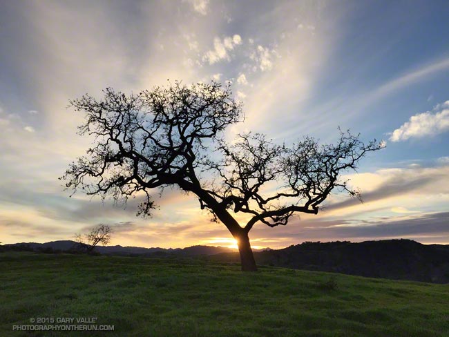
Evening Sky
Also from the run yesterday evening.
Mountain Weather II
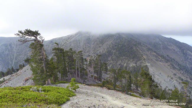
Mt. Baldy from the North Backbone Trail
According to my car’s thermometer the temperature in the west San Fernando Valley was 86 degrees. To the east a large patch of middle-level clouds had morphed into a large lenticular cloud. Over the course of a few minutes the wave cloud continued to transform, dividing into a train of alto-cumulus waves.
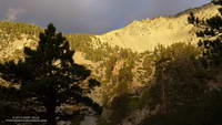
I just shook my head. A few hours earlier and 60 miles away, I had been freezing. The plan had been to do a “Baldy Over the Top” run to the old juniper on the north side of Pine Mountain. Around 8:45 am, as running partner Ann Ongena and I crested the cloud-capped, 10,064′ summit of Mt. Baldy, the wind chill temperature had been around 30 degrees. The air temperature was in the low 40s, but with the wind blowing at least 40 mph and gusting to over 50 mph it had been brutally COLD. Especially in running shorts.
Spending zero time on the summit, we waved to the hikers huddled in the rock windbreaks as we sprinted by. The hope had been that the wind (and temperature) would moderate as we descended the North Devil’s Backbone on the back side of Baldy.
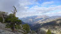
It didn’t. Wind-driven clouds continued to sweep past the ridge as we ran down the steep path. At the first opportunity we stopped in the wind shadow of a clump of stunted lodgepole pines and put on wind/rain shells. The shells were three ounces of magic — without them it would have been foolhardy to continue.
As we descended to the Baldy – Dawson Saddle and then climbed up to Dawson Peak I kept looking back over my shoulder to the cloud-shrouded summit of Mt. Baldy. Were there more clouds? Was the ceiling lower? Was there more vertical development?
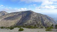
The day before I had checked the forecast from the NWS and the forecast models. A dissipating cold front was approaching the area from the north, but wasn’t expected to pass through until sometime tonight. No measurable rain was forecast for the Los Angeles area. The last time I had checked no clouds had been forecast for Saturday morning — but there they were. I had expected some southwesterly winds ahead of the front, but nothing like this.
I didn’t like being on the back side of the mountain in potentially bad weather knowing that “home” was on the front side. We had just enough gear to deal with the current conditions. I didn’t think it was very likely, but if the weather deteriorated…
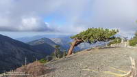
Many of the incidents that occur in the outdoors are the result of a series of misjudgments. If you’re already on the edge it’s usually best to call it before things get REALLY complicated.
And that’s exactly what we did. After descending a short distance down the ridge from Dawson Peak we turned around. Even if the outing was going to be a bit shorter than planned, it was still going to be an outstanding hike and run in extraordinary conditions with over 6000 feet of elevation gain.
It was just as windy, cold and cloudy on the second trip over the top of Baldy as it had been on the first and we spent about the same number of milliseconds on the summit before picking up the Devil’s Backbone trail and running down.
Some related posts: Mountain Weather, Atmospheric Dynamics
Inspiration Point to the Pine Mountain Juniper
At an elevation of nearly 7400′ Inspiration Point is one of the most exhilarating places in the San Gabriel Mountains to start a trail run. Here the Pacific Crest Trail follows along Blue Ridge, an exceptionally scenic ridge with views of the range’s tallest mountains and deepest canyons.
Today I was looking to do something at higher altitude and it occurred to me that I could run east on the PCT from Inspiration Point and add a bit of adventure by ascending Mt. Baldy’s North Devil’s Backbone to the Pine Mountain Juniper. I’d first noticed this old tree on a climb of the North Devil’s Backbone in 2006. In 2010 I hiked and ran over the top of Mt. Baldy from Manker Flat and measured the girth of the tree. It’s rocky, ridgetop location and relatively arid environment might have significantly slowed its growth and it could be older than the 800 years or so its size suggests.
Even though it was Labor Day weekend, and the weather was perfect, no one was on the North Devil’s Backbone trail.
Here are a few photos from the run.
Some related posts: Pine Mountain Juniper, Lightning Tree, Mt. Baldy North Backbone Trail, North Backbone Trail Revisited, Mt. Baldy Run Over the Top