Category Archives: photography|black & white

Crissy Field – Fort Point – Land’s End – Golden Gate Park Loop

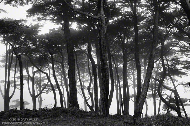
Monterey pines in Land's End Park

What do a hilly marathon, a pair of cygnets, and a herd of bison have in common?

Why, of course, a run in San Francisco.
Crissy Field and the Golden Gate Promenade

Brett wanted to check out some of the hills on the San Francisco Marathon course and show me more San Francisco sights. The result was a 14 mile loop that began in the Marina District and visited Crissy Field, the Golden Gate Bridge at Fort Point, Land’s End Park, Sutro Heights Park and Golden Gate Park.
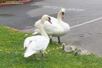
The Palace of Fine Art swanskeep a close eye on their brood. June 4, 2016.
Blanche, Blue Boy and their cygnets

The run started with a visit to the Palace of Fine Arts to check on Blanche’s and Blue Boy’s new brood. Nature isn’t always nice, so it was good to see the remaining two cygnets are doing well.
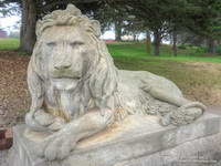
One of two lion statues at the entrance to Sutro Heights Park.
Sutro Heights Park Lion

Most of the run between the Golden Gate Bridge and Golden Gate Park was on the California Coastal Trail. Near Sea Cliff we left the marathon course and continued on the Coastal Trail to Land’s End Park and Sutro Heights Park, eventually entering Golden Gate Park on its northwest corner at 47th Avenue.
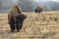
Bison in Golden Gate Park

Larger than New York’s Central Park, Golden Gate Park’s many attractions draw millions of visitors each year. That one of those attractions is a golf course isn’t particularly surprising. And you might expect a major city park to have a botanical garden, aquarium and a museum. But would you expect a park in San Francisco to host a herd of bison? I know when I put on my running shoes this morning I wasn’t thinking, “Hope we see some buffalo!”

Bison have been present in Golden Gate Park since the 1890s. According to this Huffington Post article by Fiona Ma the herd was repopulated in 2011 and, “The City and County of San Francisco would excitedly welcome 6 more urban bison members.”

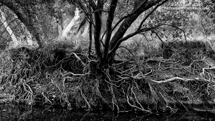
The title photo is a black and white image of Monterey pines along the Land’s End Trail.

Some related posts: San Francisco Sights Trail Run, Golden Gate Bridge Run, Miwok Wanderings

Waiting for Rain: El Nino and the 2015-16 Southern California Rainfall Year

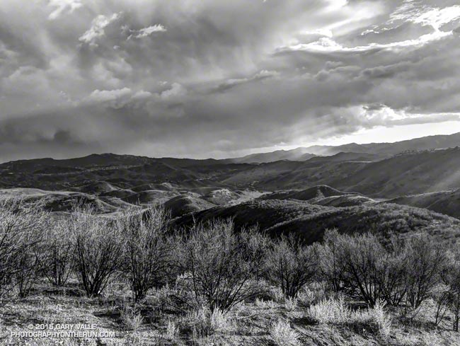
Thunderstorm over the Santa Monica Mountains

Due in part to El Nino and the Madden-Julian Oscillation (MJO) Southern California jump-started the 2015-16 rain season with above average rainfall in July and September.

Last year the NWS changed the WATER Year to October 1 – September 30, but the RAINFALL Year remains July 1 – June 30, as it’s been for decades.

Below is the monthly tabulation of rainfall for Downtown Los Angeles (USC) for the 2015-16 Rainfall Year, along with what is considered normal for the month.

Downtown Los Angeles Rainfall
Month Rainfall Normal
July 0.38 0.01
August T 0.04
September 2.39 0.24
October 0.45 0.66
November 0.01 1.04

So far this rainfall year Downtown Los Angeles (USC) has recorded 3.23 inches. Even with November as dry as it’s been we’re still more than an inch above normal for the rainfall year — about 1.46 inches above normal as of November 25.

Over the next couple of weeks the medium range models and other tools aren’t especially bullish on our chances for a good, soaking rainstorm in Southern California. Longer term guidance suggests an improving chance of precipitation as December progresses, and above average precipitation in January and February. We’ll see!

The title photo is from November 3. It shows a band of thunderstorms that moved southward across the San Fernando Valley and into the Santa Monica Mountains. The band produced cloud to ground lightning strikes and some heavy showers. Saddle Peak is in the distance on the left. The shower activity in the distance on the right is in the area of Kanan Rd. and the 101 Frwy.

Boney Mountain’s Western Ridge

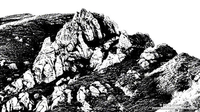
Boney Mountain's Western Ridge

From today’s run, hike, scramble and climb of Boney Mountain’s Western Ridge. The rounded pinnacle at the  top of the formation is this one.

Some related posts: Boney Mountain Western Ridge & Loop, Over Boney Mountain to Sandstone Peak and Serrano Valley, Boney Mountain Eclipse Run, Boney Mountain – Serrano Valley Adventure Run, Boney Mountain Views