Category Archives: photography|trail running

A Rattle in the Grass

Spring

Not more than a foot or two off the trail.

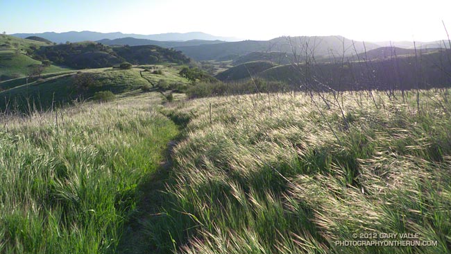
Here it is February 23rd and the annual grasses have already gone to seed, goldfields are blooming on Lasky Mesa, and I’ve already had my first rattlesnake encounter of the season.

That happens when there’s been less than a tenth of an inch of rain in the last 30 days (Cheeseboro RAWS) and temps climb into the eighties.

Clouds, But Not Much Rain in Los Angeles

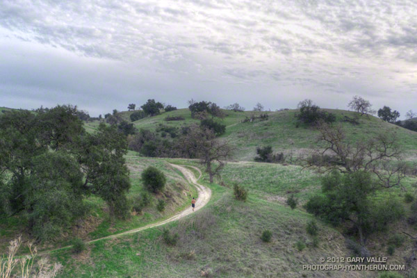
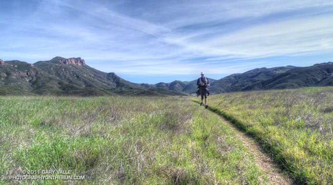
Running up to Lasky Mesa

The Cheeseboro RAWS, a couple of miles west of where this photograph was taken, is usually a good indicator of the weather in the Ahmanson Ranch area. The automated weather station recorded a paltry 0.01 inch of rain Tuesday. While this was enough to dampen the trails and create a little mud, it didn’t help much with our low water year precipitation totals.

Downtown Los Angeles (USC) also recorded 0.01 inch of rain Tuesday, bringing the water year (July 1 to June 30) total to 5.07 inches, or about 60% of normal. Some areas have had a little more rain and some a lot less. According to NWS data the Santa Barbara water year rainfall total stands at about 69% of normal, while Burbank out in the Valley has recorded only about 44% of the normal amount of rain.

Central California isn’t doing any better. Downtown San Francisco has only recorded about 42% of normal rainfall and Sacramento 45% of normal. In the first full Sierra snow survey of the season, basin averages ranged from about 28% to 54% of the normal snowpack, with a statewide weighted average of 35%.

The medium range weather models are forecasting a series of shortwave troughs will move through Southern California over the next 10 days. At the moment the systems aren’t forecast to produce much rain in the Los Angeles, but maybe that will change. We’ll see!

The photograph is from a run last week. The road leads up to Lasky Mesa in Upper Las Virgenes Canyon Open Space Preserve (formerly Ahmanson Ranch).

Boney Mountain – Serrano Valley Adventure Run

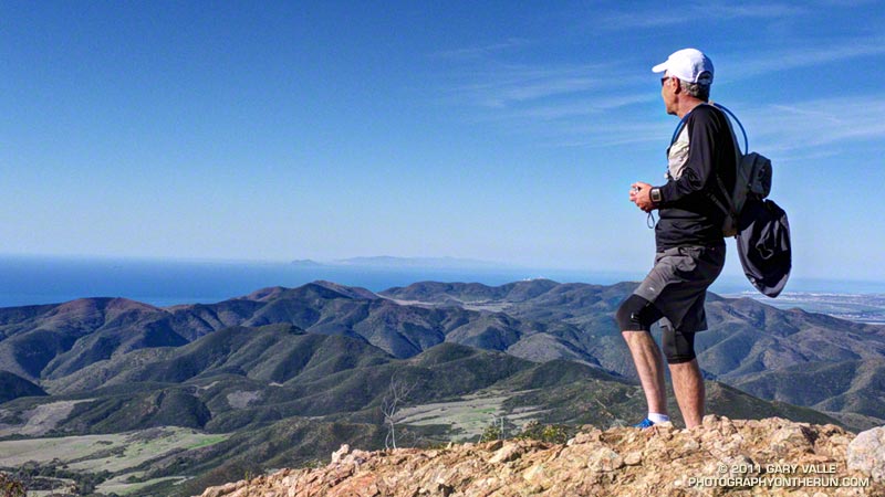
Craig running in Serrano Valley

Craig had never done any rock climbing, but was doing a great job of scrambling up the steep gullies, and climbing the short sections of knobby, low angle volcanic rock. We were climbing up through a maze of brush and rock formations on the steep ridge that follows Boney Mountain’s western escarpment. The scramble up the western ridge would be well worth the effort. The route is a shortcut to the Backbone Trail and some of the most spectacular running in the Santa Monica Mountains.


Our run had started at Wendy Drive & Potrero Road in Newbury Park. We were doing a 20 mile loop that was about as varied as a trail run can be. In addition to the 1.5 mile ascent of Boney Mountain, there would be about 13 miles of single track trail, 4.3 miles of dirt road, and even 1.7 miles of paved road.

After getting through the maze to the Backbone Trail we would do the classic run down the Chamberlain Trail to the Old Boney Trail. From the bottom of the Chamberlain Trail there are four major variations. Three of these lead to Big Sycamore Canyon and one loops directly back to the start of the climb up Boney Mountain:

– Turn left (west) on the Old Boney Trail and at the junction of the Serrano Valley & Old Boney trails follow the Serrano Valley Trail and then the Serrano Canyon Trail to Big Sycamore Canyon. This was the route we were doing today.

– Turn left (west) on the Old Boney Trail and follow it all the way to Big Sycamore Canyon.

– Turn right (east) on the Old Boney Trail and at the junction of the Blue Canyon & Old Boney trails, continue down the Blue Canyon Trail to the Danielson Multi-use area in Big Sycamore Canyon.

– Turn right (east) on the Old Boney Trail and at the junction of the Blue Canyon & Old Boney trails, turn up the Old Boney trail and  follow it  over the shoulder of Boney Mountain and back to the point where the ascent of Boney Mountain began.
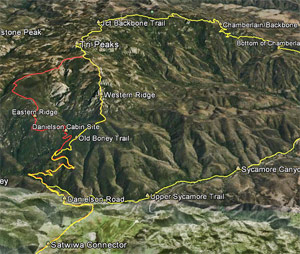


In Big Sycamore Canyon there are many options. Today we would run up Sycamore Canyon Rd to Wood Canyon Rd and pick up the Two Foxes Trail. This trail continues up-canyon and eventually rejoins Sycamore Canyon Rd, which would take us to the Upper Sycamore Trail, and from there to Danielson Road and Satwiwa. Here’s an interactive Cesium browser View of a GPS trace of our route. And here are archived maps of Rancho Sierra Vista/Satwiwa and Pt. Mugu State Park originally from the NPS Santa Monica Mountains web site.  Also see the Pt. Mugu State Park maps on VenturaCountyTrails.org.

Note: There is an easier alternative to the western ridge route on the north side of Boney Mountain. The route starts near the Danielson Memorial, and ascends a use trail up the eastern ridge on the north side of the mountain. In places the (unmaintained) trail is very steep, eroded, and rubbly but it is more straightforward and less technical than the western ridge.

Some related posts: What a Great Day for a Trail Run, Sandstone Peak from Wendy Drive, Boney Mountain Views
Inspiration Point to Islip Saddle Trail Run

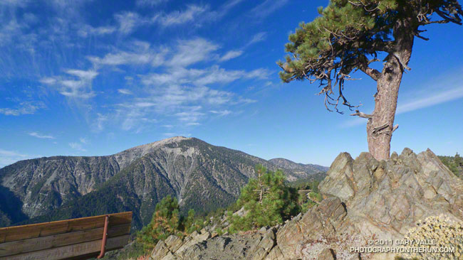
Mt. Baden-Powell from Inspiration Point

The viewpoint above is a few hundred yards up the Pacific Crest Trail from Angeles Crest Highway at Inspiration Point. Craig and I had paused near the start of our trail run from Inspiration Point to Islip Saddle to check out the view. 


The mountain across the way is Mt. Baden-Powell (9,399′).  Three miles away as the bird flies, our earthbound route along Blue Ridge, down to Vincent Gap, and then up the forty-something switchbacks to the top of the peak would total around nine miles. From the top of the peak it would be about eight miles to Islip Saddle.

Zooming in on the peak, the white arrow marks the location of the Wally Waldron Limber Pine. For more than a millennia this grand tree has stood high on this mountain, resisting the strongest of winds and the most perfect of storms. Not all are so durable. A limber pine feet away from the Wally Waldron tree was toppled in a storm last Winter.

Given the short-sleeve weather, the most unexpected discovery on today’s run was ice under the trees just up the ridge from the Wally Waldron tree. The ice had been deposited on the trees a few days before, when an unseasonably strong storm set a new rainfall record for the date in Los Angeles.

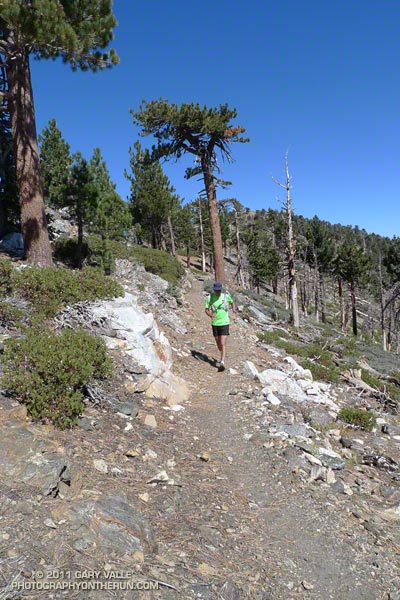
The running on the PCT between Mt. Baden-Powell and Islip Saddle was outstanding and the views superb. Along the way we did the short climb to the top of Throop Peak, checked out the Mt. Hawkins Lightning Tree, and enjoyed the cold spring water at Little Jimmy Spring.

Some related posts: Perils of Winter, Surprises of Summer; Wally Waldron Limber Pine; PCT from Inspiration Point to Islip Saddle

Cottonwood Pass – New Army Pass Loop 2011

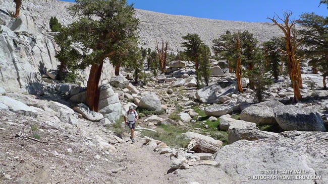
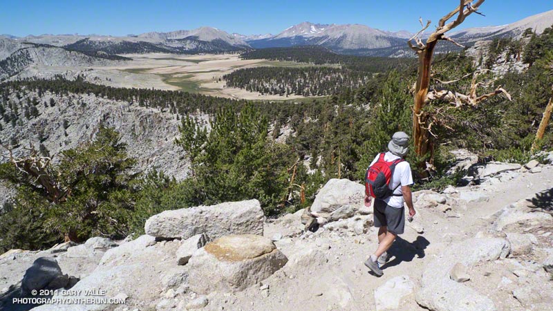
Craig Kinard running on the PCT near Cirque Peak

The Cottonwood Pass – New Army Pass loop is a longtime favorite that I try to do at least once a year. There’s nothing quite like running at 11,000′ through a forest of gnarled foxtail pines — some perhaps a thousand years old — then working up a glacier sculpted basin to one of the higher passes on the Sierra crest.


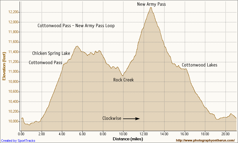
The trail run is the closest high altitude loop to Los Angeles that is almost entirely over 10,000′. Although its 21 mile length and 3400 ‘elevation gain/loss appear relatively moderate from an ultrarunning perspective, keep in mind it is a high mountain run that reaches an elevation of 12,300′, and includes 12 miles that are over 11,000’. Nearly three miles are above tree line. It’s kind of like driving to the top of Mt. Baldy and then starting your run from there.

This year a record-setting snowpack pushed back the date the loop could be done (as a trail run) to late July. I’d hoped to do it two weeks before the Mt. Disappointment 50K, but thunderstorms and flash floods quashed that plan. The next opportunity to do the loop was on Saturday, but once again thunderstorms were in the forecast.


A look at the SWFRS Bald Mountain #5 web cam midday Saturday confirmed the sketchy weather. The camera showed developing clouds from Olancha Peak on the south to New Army Pass, Mt. Langley and Mt. Whitney on the north. We wanted to enjoy the run in short-sleeves and shorts, so postponed the run to today.

And today the weather was perfect! A plus was that Saturday’s rain had dampened the sometimes sandy and dusty trails, improving their condition and refreshing the landscape.


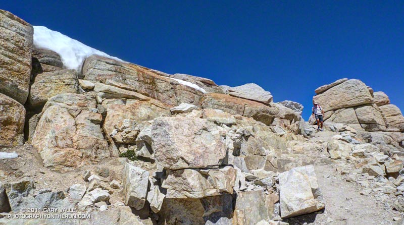
One of the interesting aspects of the run was that patches of snow remained from last Winter’s heavy snowpack. Not only were there patches of snow on New Army Pass, and elsewhere above 12,000′, but there was snow in lower, more exposed locations such as on the southeast-facing slopes above Chicken Spring Lake. Much of this high altitude snow will carryover into this Winter.

Here’s a Cesium browser View and elevation profile of a GPS trace of the loop. The view can be zoomed, tilted, panned, etc. Additional info, a slide show, and more photos are available in previous posts about this loop.

Some related posts: Cottonwood – New Army Pass Trail Run, Cottonwood – New Army Pass Loop, Mt. Langley in a Day from L.A., Climate Change and the Southern Foxtail Pine