Category Archives: trails|smmc open space

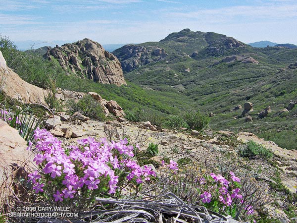
Sandstone Peak from Wendy Drive

Big Dome and Sandstone Peak from Tri-Peaks

Whatever route you use to get there, Sandstone Peak (3111 ft.) is a rewarding summit with sweeping views that range from the Channel Islands to Mt. Baldy and beyond. It is the highest peak in the Santa Monica Mountains, and a popular destination.

The peak is usually done as a steep 3-mile hike (round trip) from the Sandstone Peak Trailhead, or as part of a scenic 6-mile loop from the Mishe Mokwa trailhead. This National Park Service PDF provides additional information and a map of these trails.

A third option is to skip the drive to Yerba Buena Rd., and do the peak as an adventure hike/run from Wendy Drive trailhead in the Conejo Valley. This can be done by ascending one of the routes on the north side of Boney Mountain, then continuing up and over Tri-Peaks to the Mishe Mokwa/Backbone trail junction. From here the Backbone Trail leads to a spur trail that climbs the peak.

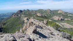
View west from Sandstone Peak of the Boney Mountain massif.

We took this last option and climbed Boney Mountain’s more technical western ridge. Done this way, it was about 6.8 miles to Sandstone Peak’s summit, with an elevation gain of about 3100 ft. This includes the short side trip to the high point near the top of the western ridge generally referred to as “Boney Mountain.”

Here’s a view west from Sandstone Peak of the Boney Mountain summit area. Tri-Peaks is the rocky peak on the skyline, right of center, and Big Dome is to the right of Tri-Peaks. The route up the western ridge tops out on the crest between these two peaks. (As seen from Sandstone Peak.)

The basic choices for getting back to the Wendy Drive trailhead are to go back down one of the trails on Boney Mountain’s north side; descend the Chamberlain Trail to the Old Boney Trail, and then loop back over the shoulder of Boney, or descend to Big Sycamore Canyon and then return from there.

Miklos and Krisztina had not run down Boney’s eastern ridge, so they backtracked over Tri-Peaks, and descended the use trail to the Danielson cabin site. I was looking to do some additional mileage, so ran down the Chamberlain, Old Boney, and Blue Canyon trails to the Danielson multi-use area in Big Sycamore Canyon, and then up Sycamore Canyon to the Upper Sycamore Trail, and back to Satwiwa.

Here’s a  Cesium ion view of a GPS trace of my route. The eastern ridge route is also shown.

Related posts: Balance Rock, Boney Mountain Western Ridge & Loop

Running Rocky Peak Road

Stretch of Rocky Peak Road about 1.5 miles from the trailhead at the 118 freeway.

I was surprised how good my legs felt on the steeps on Rocky Peak. Apparently skiing San Jacinto was a great way to knock my legs out of the doldrums — and make them happy to be using shoes that weigh only 22 ounces/pair!

This stretch of Rocky Peak Road is about 1.5 miles from the trailhead at the 118 freeway. It is also about 2.7 miles into the Bandit 30K and 14K courses.

Related posts: Bandit 30K Course Preview, Rainy Morning on Rocky Peak Road

Hammering Up the Chumash Trail

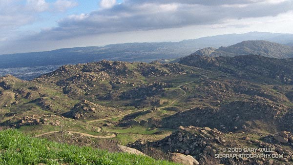
Mountain bikers working up the 2.6 mile Chumash Trail.

Mountain bikers working up the 2.6 mile Chumash Trail. Simi Hills and Simi Valley are in the distance. This section of the trail was burned in the Sesnon Fire in October 2008.

Here is a Live Browser View of a GPS trace of the Chumash Trail.

Related post: Chumash Trail Training, Chumash Trail – Sesnon & Simi Fires

Garapito Trail Green

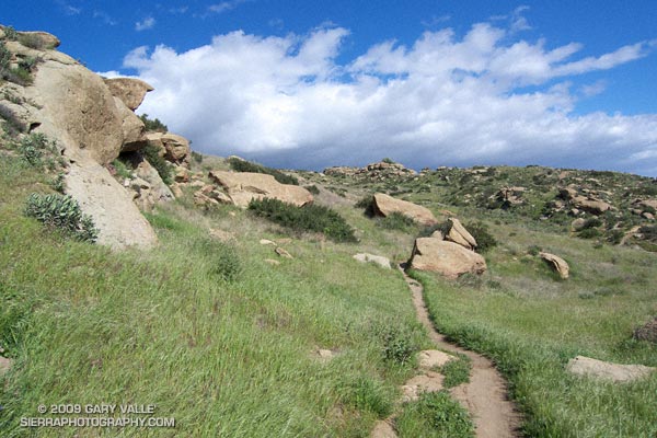
Garapito Trail in Topanga State Park.

Not the green of shamrocks or jade, or an emerald sea,
but of new growth along a trail, softly seen
.

From a run of the Trailer Canyon – Trippet Ranch loop, described in Garapito Trail Runs.

Here is a Live Browser View of the run.

Related post: Ferns Along the Garapito Trail

Malibu Creek State Park Shadow & Sun

Malibu Creek State Park

My trail running shoes had not been wet or muddy since sometime in December. During the entire month of January, Downtown Los Angeles (USC) recorded about one-third of an inch of rain. Not only had it been dry, it had been warm. On a dozen of those January days, the high temperature topped eighty degrees, setting a new record!

But Winter had returned. The past three days, Los Angeles had received about 1.5 inches of rain, valley and foothill locations 2-4 inches, and some mountain stations as much as 5-7 inches. And more Winter weather was on the way. Excited about the change in the weather, today’s run was one with good muck and mire potential — the Bulldog Loop in Malibu Creek State Park.

We were not disappointed. Near Century Lake, mud the consistency of peanut butter pulled at our shoes and slowed the climb up Crags Rd, Further west, near the M*A*S*H site, calf-deep water on the trail washed the gunk off.


Pt. Dume from the Mesa Peak ridgeline.
The trail conditions on the remainder of the loop were more straightforward. From time to time, shafts of sun would pierce the clouds, resulting in a patchwork of shadow and sun that emphasized the rugged terrain. Along the crest, the ocean views were superb! Before descending to Tapia Park we ran out to Mesa Peak, and then followed the ridgeline to an overlook of the coast. (Marked peak 1800 on the topo.)

Including the side trip to the overlook, this variation of the Bulldog loop worked out to an exhilarating 16.5 miles, with an elevation gain/loss of about 2700 ft.

If current forecasts and outlooks for this month hold true, this won’t be our last wet and muddy trail run this February. In a couple of weeks, Los Angeles rainfall totals may climb above normal for the first time this rain season. We’ll see!

Some related posts: Fog Along Malibu Creek, Bulldog Loop and the Corral Fire