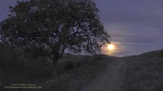
Remember when it used to rain in Southern California? This is from a run at Ahmanson Ranch on January 6, 2005.
The 15 days from December 27, 2004 through January 10, 2005 were the wettest 15 consecutive days in downtown Los Angeles since record keeping began in 1877. Los Angeles would go on to have the second wettest water year on record, with 37.25 inches of rain for the period July 1, 2004 through June 30, 2005.
So far this water year — since July 1, 2013 — Downtown Los Angeles (USC) has recorded only 0.97 inch of rain!
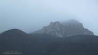
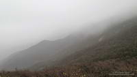
Not everywhere is parched and brown in moisture-starved Southern California. There are a few places that have slurped up a few extra raindrops and are turning green.
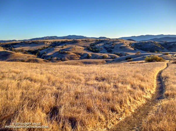
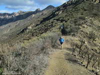
This patch of green is in Las Llajas Canyon, in the eastern Simi Valley. Judging from the green growth and dried mud on the road in the upper part of the canyon, there must have been some extra rainfall here. There was even some water in one section of the creek.
Las Llajas Canyon is part of the 50K & 30K courses in the Bandit Trail Runs coming up February 16, 2014 at Corriganville Park in Simi Valley, CA.
2013 will go on record as the driest calendar year in Los Angeles since recordkeeping began in July 1877.
Downtown Los Angeles (USC) has recorded only 3.60 inches of rain since January 1, breaking the record of 4.08 inches set in 1953 and 1947. Downtown Los Angeles averages about 15 inches of rain in a calendar year.
Overnight unrelenting winds had rushed and roared through the palm trees above the house and I’d steeled myself for what would surely be a difficult run.
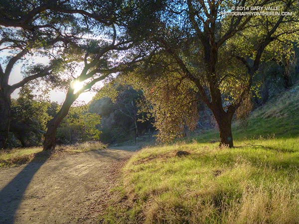
A cold December morning at the M*A*S*H site in Malibu Creek State Park.
But when I arrived at the Cistern trailhead on Mulholland Drive there was almost no wind. A layer of cold air trapped against the crest of the Santa Monica Mountains in the Malibu Creek drainage was shielding the area from the wind. At least for a while.
When I’d left the house in the West Valley the temperature had been a balmy 64 degrees. As I turned onto Mulholland Highway from Malibu Canyon Road my car’s thermometer had read 32 degrees and at the trailhead it had been 46 degrees. Along Malibu Creek at the M*A*S*H site I’d guess the temperature was in the mid-thirties.
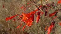
California fuscia along the Bulldog Motorway fire road.
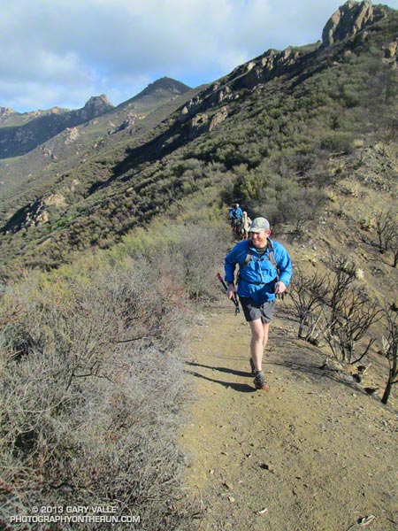
Incredibly, the climb up Bulldog Motorway was one of the most pleasant I’ve done. Near freezing temperatures gave way to warming Winter sunshine, and as I worked up the grade I wondered how long the respite from the wind would last. To the northeast I could see the telltale dusty haze from strong offshore winds in the San Fernando Valley. At some point those winds would scour out the protective layer of cold air or I would climb above it.
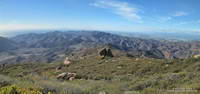
It wasn’t until about halfway up the Bulldog climb that the wind started to pick up. But it was still far less windy than I had expected. Several sections of Castro Peak and Mesa Peak fire roads were in the lee of the crest, and the running was excellent. The variegated patterns of sun, stratus and wind on the Pacific was spectacular.
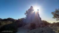
Rocks along the Backbone Trail near the top of Corral Canyon.
Once I was off the crest the wind diminished to little more than a zephyr. In many areas — such as at Tapia Park and along Crags Road there was no wind at all.
But it was still windy in the West Valley. When I got home from the run I checked the Cheeseboro RAWS, which is about 6 miles NNE of Malibu Creek State Park. Between 9:30 and 10:30, when it had been dead still on Crags Road, the Cheeseboro RAWS had recorded steady winds of 30 mph, gusting to as high as 50 mph!
The title photo is of windblown stratus on Santa Monica Bay with Palos Verdes Peninsula in the distance.
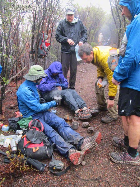
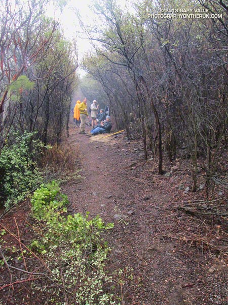
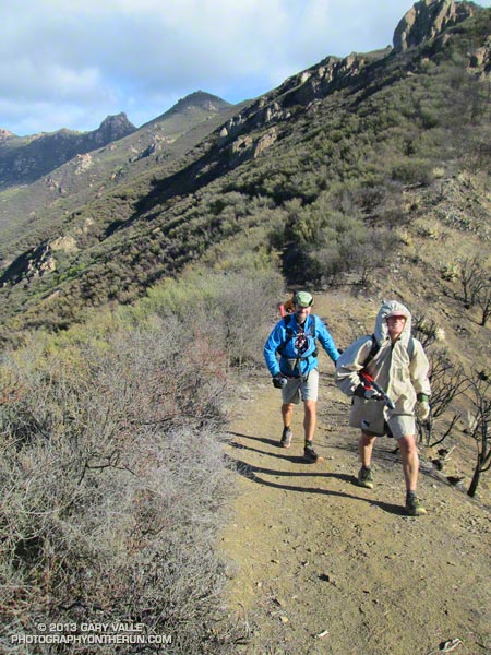
No big deal, so the temp was in the low 40s and it was a little windy… and rainy… and my work gloves were sopping wet… Yes, Victoria did say she hadn’t been this cold since leaving Russia, but how bad could it be — Mike and Jeanne were wearing SHORTS. I quietly whimpered and lopped off another limb of encroaching chamise. If I kept lopping maybe no one would notice how much I was shivering.
Logistically, the Chamberlain Trail segment of the Backbone Trail is one of the more challenging trails in the Santa Monica Mountains to maintain. It’s difficult to get all the tools and people to the trail and out again and still have time to do a few hours of work.
Coordinating with the Santa Monica Mountains Trails Council, Howard Cohen, RD of the Coyote Backbone Trail Ultra, rounded up a bunch of trusting folk that will do just about anything if running in the mountains is involved.
Starting at the Wendy Drive trailhead runners hoofed it over Boney Mountain to the top of the Chamberlain Trail — about a two hour run/hike — then lopped, and sawed and cleared their way down the trail until told to stop. Then they ran back to their cars.
If the smiles (of relief?) at the end of the day were any indication, good, clean fun was had by all — even if it was a little damp and chilly.
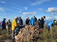
Here are a few additional photos from the adventure. Click for a larger version of the photo.