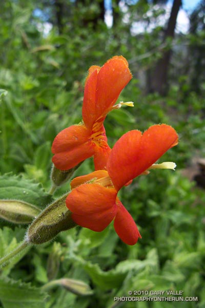
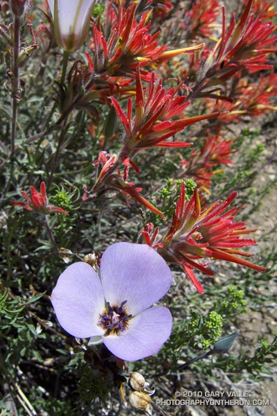
Paintbrush on the Vincent Tumamait Trail
Thursday afternoon the temperature in Woodland Hills hit 107°F. Friday was 103°F, and Saturday 104°F. Weekdays I run in the afternoon, and after running in that heat, I needed to escape to cooler climes. One way to beat the broiling temps was to head for the high country.
There are several higher elevation areas within a couple hours drive of Los Angeles. My favorites are Mt. Baden-Powell (9399′), Mt. Baldy (10,064′), Mt. Pinos (8831′), Mt. San Jacinto (10,834′) and San Gorgonio Mountain (11,499′).
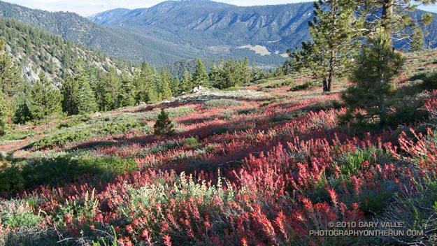
Today the choice was Mt. Pinos. It had been a few weeks since I’d run there, and the driving time to the Chula Vista parking lot on Mt. Pinos is about the same as that to Islip Saddle in the San Gabriels. Also, it’s usually cooler running between Mt. Pinos and Mt. Abel, than between Islip Saddle and Mt. Baden-Powell.
It was a little breezy and chilly up on Mt. Pinos, Sawmill Mountain and Mt. Abel. What a change from during the week. At the start of the run the temperature was about 40-50 degrees cooler than my last run at Ahmanson Ranch.
I did an extended version of the usual 14.5 mile out and back course on the Vincent Tumamait Trail. This variation drops down to Lilly Camp (6600′) on the North Fork Trail before continuing to Mt. Abel. The side trip adds about 6 miles and 1700′ of gain. It was a bit warmer down at Lilly Meadow Camp, but the air conditioning kicked back in once I returned to the main trail.
Some related posts: Running Hot & Cold, Up & Down Mt. Baldy’s South Ridge, Vincent Tumamait Trail, Autumn Trail Running on Mt. San Jacinto, San Gorgonio High Line 2009