Category Archives: running

Skyline to the Sea – Fall 2018

Towering redwoods along the Skyline to the Sea Trail, Big Basin Redwoods State Park

Update July 20, 2020. Here’s a Google Earth image of a CZU August Lightning Complex Fire perimeter from the National Interagency Fire Center (NIFC). The date and time of the perimeter is indicated. My GPS track from the PCTR Skyline to the Sea Marathon in Castle Rock and Big Basin Redwoods State Parks is also shown. The locations of all placemarks and trails are approximate. For official information see the CAL FIRE CZU August Lightning Complex and InciWeb CZU August Lightning Complex incident pages.

There’s a reason that Skyline to the Sea is Pacific Coast Trail Run’s biggest event. Close your eyes and picture your ideal trail. The trail of your dreams might be hard-pressed to match the appeal of the Skyline to Sea Trail.

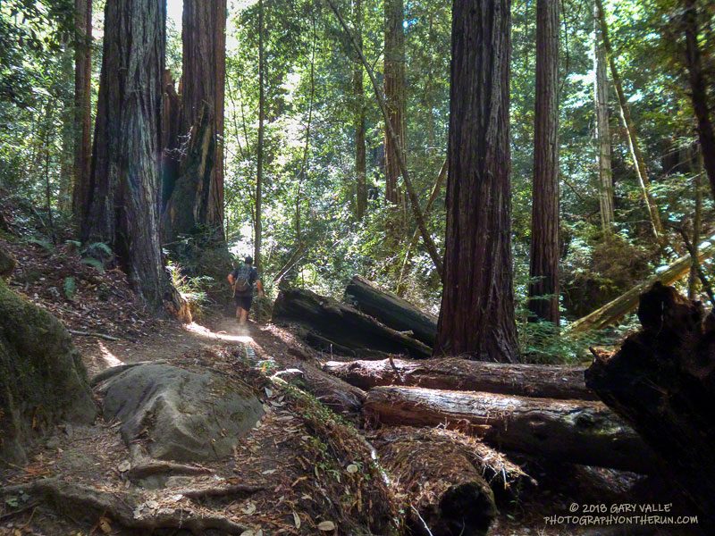
There is something magical about running in an old-growth redwood forest. Established in 1902, Big Basin Redwoods State Park was the first state park in California. It’s redwoods reach 2000 years in age, 328 feet in height and 18.5 feet in width!

The Skyline to the Sea Trail has a net elevation loss, but enough uphill to get your attention. Many miles of the trail are as smooth as a carpet, but some are rocky, root-strewn and technical. It is often cool under the dense forest canopy, but it can also be warm and humid. I was surprised to see an “Emergency Water” stash a mile before the last aid station. In some years it is well-used and much appreciated.

The Park supports a vast variety of animal and plant life. Some plant species can only be found in the Park and a seabird (Marbled Murrelet) nests in its old-growth conifers.

In some years one park species can add extra adrenaline to the race. This year Brett (my son) and I were counting down the miles to mile 4.0 of the Marathon. The R.D. had reported encounters with the beasts at that point of the 50K on Saturday. About 20 yards before mile 4.0 Brett saw what looked like a “cloud of dust” and shortly after that we heard agitated voices from the runners ahead.

In it for the full experience, we — and several other runners — plowed headlong into the cloud. The yellowjackets didn’t like that. A number of us were stung; some several times. The day before a runner in the 50K was stung 18 times.

Yellowjackets or not, running the Skyline to the Sea Marathon was like running a 26 mile nature trail and one of the finest courses I’ve done.

Many thanks to R.D. Greg Lanctot and Team PCTR and all the volunteers that helped with the event. For all the results and more info see the Ultrasignup event page, PCTR’s web site and Facebook page.

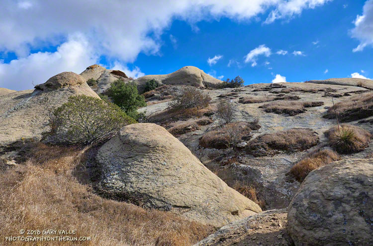
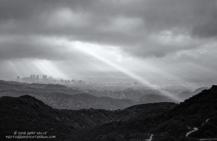
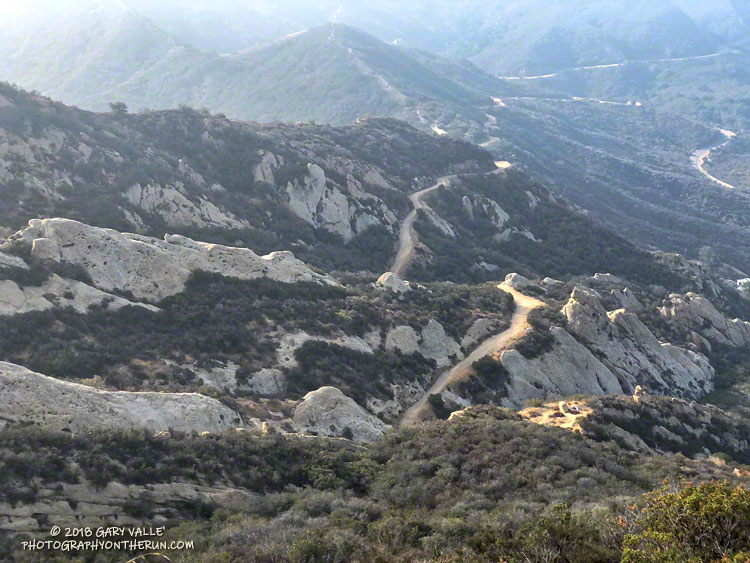
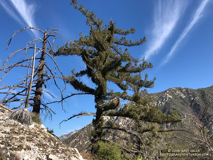
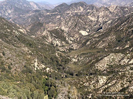
Here are a few photos taken along the way. Mileages specified are from my fenix 3 and are approximate.

Sage Ranch Micro-Wilderness

Sage Ranch Micro-Wilderness. Photography by Gary Valle.

Sage Ranch is a Santa Monica Mountains Conservancy open space area adjacent to the Santa Susana Field Laboratory (SSFL) Superfund site.

The sandstone rocks are an exposure of the Chatsworth Formation, which extends from the Simi Hills across the 118 Freeway to Rocky Peak and the Santa Susana Mountains. The popular rock climbing area Stoney Point is a well-known example of the Chatsworth Formation.

Geology and climate are the foundation elements of habitat. They influence — and sometimes dictate — the plants that inhabit an area. The plant Santa Susana Tarweed is very common on exposures of Chatsworth Formation sandstone, but rare elsewhere.

Exposures of Chatsworth Formation sandstone in Sage Ranch Park and Rocky Peak Park are sufficiently rugged as to create areas of isolated micro-wilderness within urban open space.

Bush Senecio on Temescal Peak

Bush Senecio on Temescal Peak. September 23, 2018.

Yellow seems to be the predominant color of late-summer and fall wildflowers in Southern California. In addition to the bush Senecio pictured above; rabbitbrush, goldenbush, tarweed, telegraph weed and common sunflower come to mind.

From a recent run of the Trippet Ranch loop, with a side trip to Temescal Peak.

After the Station Fire: Back to Bear Canyon

Bigcone Douglas-fir burned in the 2009 Station Fire. September 1, 2018.

It’s been nine years since the Station Fire burned 160,577 acres in Angeles National Forest. The Red Box – Bear Canyon – Gabrielino loop is a long time favorite adventure run that I’ve enjoyed doing many years before and after that 2009 fire.

The loop was the first I did when the area reopened in May 2011. The trails were in poor shape — overgrown and damaged from flash floods. The notorious fire-follower Poodle-dog bush had flourished in the wake of the fire and was particularly bad along the Gabrielino Trail between Switzer’s and Red Box. Thinking I was “immune” to the plant, I brazenly plowed through it, and as a result spent several inflamed nights trying to sleep in a reclining chair.

Each year Bear Canyon and upper Arroyo Seco recover a little more. Poodle-dog bush is in decline and in many areas nearing the end of its life-cycle. The chaparral, bay trees and oaks are all recovering; and the bigcone Douglas-firs that survived the fire have become more fully-foliaged.

Bear Canyon from the upper Bear Canyon Trail.
Bear Canyon from the upper Bear Canyon Trail. Click for larger image.

This year Bear Canyon was a little drier than last. The creek was a trickle, disappearing in the sand in some areas and creating small pools in others. The path in the upper part of the canyon, above Bear Canyon Camp, was better defined, but still tricky to follow in some spots.

With the dry conditions, most of the poison oak had already turned red. It was easy to spot, but difficult to avoid. The “stinging nettle” creek crossing higher in the canyon wasn’t as overgrown as last year, but I still managed to brush against a plant or two.

Bear Canyon ends at Arroyo Seco, downstream of Switzer Falls. After turning upstream on the Bear Canyon Trail, I hadn’t run far when I encountered a couple of mountain bikers. They asked me, “is this the trail to JPL?”

This wasn’t the first time that I’d encountered misplaced riders or hikers on this section of trail. Some get misplaced looking for the falls and others mistakenly follow the Bear Canyon Trail down into Arroyo Seco instead of continuing high in the canyon on the Gabrielino Trail. Because of the completion of the restoration of the Gabrielino Trail there were a few more riders on the trail than usual.

Here are a few photos taken along the way.

Some related posts: Bear Canyon Loop: If the Poison Oak Doesn’t Get You, the Stinging Nettle Will; After the Station Fire: Red Box – Bear Canyon – Gabrieleno Loop; After the Station Fire: Contact Dermatitis from Turricula parryi – Poodle-dog Bush