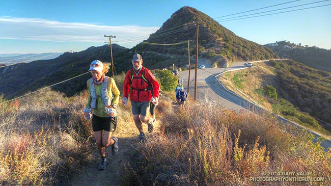
Backbone Trail Training 2014 – Stunt to Kanan


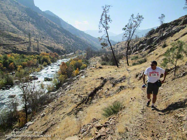
I heard it several seconds before I saw it, a sound like thunder rumbling in the distance, but rapidly growing in strength and intensity as it moved up the rugged river canyon.
I had just completed the mile-long climb that follows the Ant Canyon creek crossing and started the descent from the high point of the Burger Run course. The roar stopped me in my tracks — I did not want to miss sighting one of the fighter aircraft that fly through this canyon.
The weather was as good for flying as for running, mostly clear blue skies with only a tatter of cloud over the mountains. I looked in the direction of the growing sound, but had looked too high. The twin-engine fighter was at eye-level and over the river about a half-mile away.
At Fairview — where the Burger Run ends — the Kern River canyon narrows, with 2500′-3000′ tall mountain ridges closing in on the left and right. It would take me at least 30 minutes to get to the finish, but spellbound I watched as the jet covered the distance in three or four seconds. Approaching the cul-de-sac, the pilot added power, pulled back on the stick and in a steep, climbing turn pulled up and over the rocky ridge on the right, continuing the corkscrewing turn into a roll. Sigh…
Last year a spectacular rainbow had spanned the canyon; this year we’d been treated to a dramatic low level flyby. Whether you come for rainbows, fighter jets, the challenging terrain, or the superb views of the mountains and river, a hike or run of the Whiskey Flat Trail is an outstanding adventure.
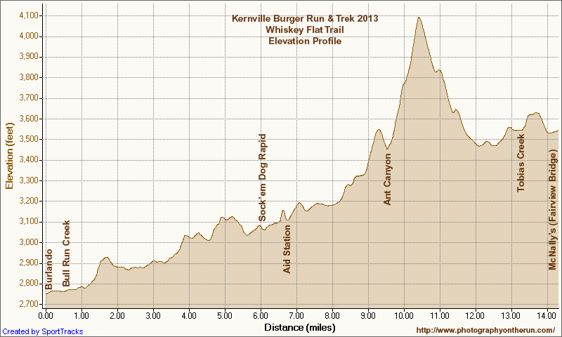
The Run-4-A-Way Burger Run & Trek starts at the Burlando Trailhead in Kernville and follows the single track Whiskey Flat Trail up Kern River’s rugged canyon to Johnny McNally’s Fairview Lodge and Restaurant. As the 14.5 mile trail works up river it crosses a series of tributary canyons and ridges, gaining more than 2100′ and losing at least 1300′. It challenges the runner, and most take longer than expected the first time they run (or hike) it. Those seeking even more adventure can do the Double Burger option — starting at Fairview, running to Burlando, and then returning to Fairview.
The annual run and trek is organized by Mike Lane of Run-4-A-Way, a local non-profit group dedicated to enhancing the fitness and well-being of the local youth. Proceeds from the 2013 event will help the Kern Valley High School “Lady Broncs” soccer team with equipment and other expenses. Many thanks to Mike for organizing the event and to the Lady Broncs who managed the Burger Run & Trek aid station.
Some related posts: Whiskey Flat Trail Burger & Double Burger Run 2012, Whiskey Flat Trail Burger Run 2011
Related video: F-16 Auto-GCAS Demonstration Flight from Owens Dry Lake, into the Sierra, and down the Kern River.
Following are a few additional photos from the run. Click for a larger image:
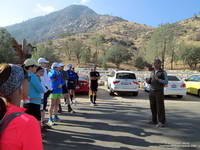 Race Meeting |
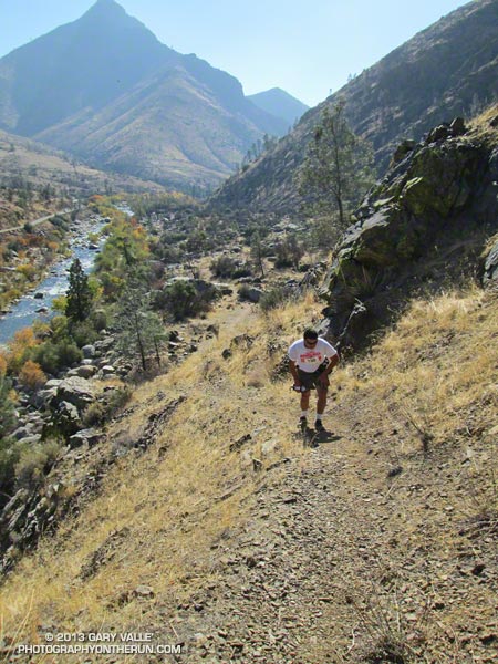 Steep Ascent |
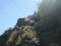 Steep Descent |
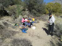 Aid Station |
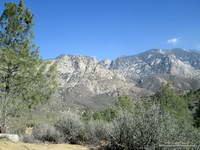 Salmon Buttress & Falls |
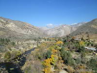 Fairview |
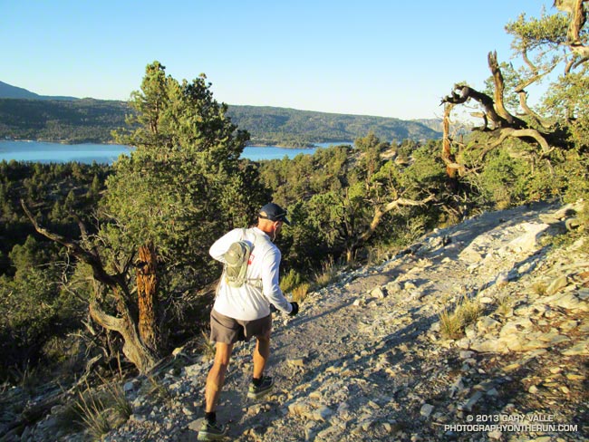
50 Mile Runner on the PCT Near Cougar Crest Junction
If you’ve driven to Big Bear on Highway 18, you’ve driven the dramatic, twisting, turning, mountain road that seems to be perched on the rim of the world. Whenever I’ve driven that highway I’ve always peered into the chasm it traverses with more than a little awe, some trepidation, and a lot of curiosity.
A little earlier this afternoon, following a path of pink markers, I’d run across the Rim of the World Highway, clambered up to the edge of the world, and plunged into that chasm.
I was at about mile 31 of the Kodiak 50 mile ultramarathon. We’d started our run at 6:00 am at Holcomb Valley Campground — the halfway point of the 100 mile run. The 100 milers had started their counterclockwise circuit of Big Bear Lake at The Village at 6:00 pm the previous evening and run through a cold night.
As I descended the steep, rocky trail deep into the canyon cut by Bear Creek a disconnected sequence of thoughts flew through my mind
“Wow, it’s a long way down…”
“Can’t I run any faster?”
“Is there really going to be a water station at the bottom of this canyon?”
“Prime real estate for rattlesnakes…”
“Those BBQ ribs were pretty good…”
“Wow, we have to go up there???”
High on the ridge to my right I could see the lift towers of Snow Valley and to my left across the canyon was the 3000′ escarpment leading up to the rim of Big Bear. Somewhere up there was one of the largest lodgepole pines in the U.S. and near that the aid station at the top of the Siberia Creek climb.
Although no rain or snow was in the forecast for Big Bear, the weather was still a concern. The first significant weather system of the season was forecast to bring a few inches of snow to the Sierra and stir up cooler and windy weather in the Southern California mountains. The forecast for today (Saturday) had mentioned south to southwest winds gusting to 40 mph “near ridge tops” and “lows 33 to 43” tonight.
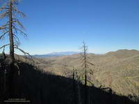
So far today the weather had been good; a little breezy in spots, but short-sleeve and shorts weather after the sun had risen and melted away the morning chill. Overnight temps at Big Bear Airport had been near freezing, and I wondered how cold it had been for the 100 milers on 9952′ Sugarloaf Mountain.
Where were the 100 milers? I had seen a couple of the rare beasts leaving the aid station as we parked at the campground for the start of the 50 mile, but that had been it. Aid station volunteers were saying only 4 or 5 100 milers had passed through ahead of us.
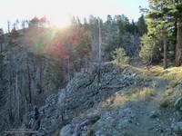
Running cohort Ann Ongena, taking advantage of all the miles of high altitude running she did at TransRockies, had picked Kodiak as her first 100. We had talked a lot about the course and the weather and I knew she was well-prepared. Because of the uncertainties of an inaugural event — particularly one of this length and complexity — we both had taken more of a self-supported adventure approach, not taking the mileages as gospel, studying the course, and putting more of what we needed in our packs and drop bags.
For the most part the running on the Pacific Crest Trail this morning had been good. I’d run the stretch of the PCT between Van Dusen Canyon Road and Delamar Mountain Road as part of the Holcomb Valley 33 Mile, but the 11 mile segment from Delamar Mountain Road to Crab Flats Road was new to me.
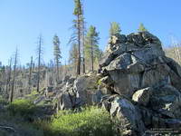
Much of this part of the PCT was burned in the 14,000 acre Butler 2 Fire in September 2007. Judging from the size of the trunks of the trees and shrubs, the Butler 2 fire was the first large fire in this area in many decades. Recovery is well underway, and it was great to see chest high pine saplings in some areas. Wildland fire seems to be a growing part of the outdoor experience in Southern California. It has become increasingly difficult to do a 20+ mile run and not pass through an area that has been burned in the past decade or so.
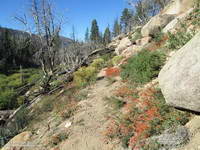
The route-finding on the 6.25 miles between Aid Stations #4 and #5 was supposed to be straightforward — stay on the single track PCT. Even with a long curved arrow on the road and pink markers at the start of the trail, the big, smooth, open, inviting dirt road was just too much of a magnet. I hadn’t run 100 yards on the PCT when we stopped to call two runners on the road back to the trail. In some cases runners followed the road all the way to aid station #5. At another point there was a nefarious truck track that diverted a number of runners off the PCT and up a hill.
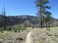
Earlier in the race some runners turned down the Cougar Crest Trail. Some caught their error within a few steps, but I talked to one runner that added four miles to his run. The junction was reasonably marked, but it is surprisingly easy to make a route-finding mistake like this. If you are not expecting and looking for a junction it can be almost invisible.
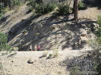
The Kodiak 50 course was carefully marked were the route-finding was intricate (Little Green Valley, Green Valley, Snow Valley, Start of Siberia Creek), but infrequently marked were there were no route choices or the route-finding was believed to be straightforward. Like the RD said in the race meeting, there were long stretches with few or no markers. Crab Flats Road comes to mind.
In some races extra markers are added for moral support. Some say too many markers. It isn’t a question of old school or new, but rather race style. This RD made it clear in the race meeting what the style of this race was going to be. Instead of extra markers I started looking at runner’s tracks and noticed a particular Hoka track. It was a smaller size and always on top of the other tracks. If I wanted confirmation I was still on route I’d look for that track, and there it would be — every time!
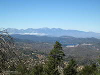 Lake Arrowhead & Baldy Peaks |
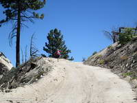 Steep Hiking |
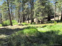 Little Green Valley |
I did a lot of looking at tracks on the way up Crab Flats Road to Green Valley, and then on other roads and trails on the way to Little Green Valley and Rim Nordic. There were a couple of runners that were sometimes a little ahead or behind me, and though we didn’t run together it was good to have company on this stretch.
I’d reached Camp #4 (~29 miles) at Rim Nordic and the Rim of the World Highway a little behind what I expected, but couldn’t complain. I was feeling pretty good. I had no foot problems; hadn’t gone off-route; hadn’t had any cramping; and had scored some BBQ ribs at the aid station.
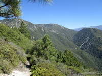
Now, as I continued down the Camp Creek Trail at mile 30-something, I scanned the steep slopes across the canyon trying to see the trace of the re-opened Siberia Creek Trail. I had little doubt that the 6.8 mile, 3000′ climb was going to be the crux of the course. Race organizers had spent untold man-days working on this trail and warned us of its difficulty. It would be a tough climb, but all I had to do was hike it. I didn’t have to clear it, mark it, or chop holds in all the trees that had fallen across the trail!
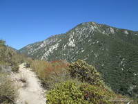
After a few more minutes of rocky downhill I finally reach Bear Creek and Water Station #3. There’s a log bridge and rope across the creek and this grinning guy is holding the rope steady for another runner to cross. It turns out the person holding the rope is Eric Bulrice, one of the race organizers. We talk for a while and he tells me he’s basically spent the summer in “Hades Canyon,” working on the Siberia Creek Trail.
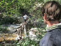
While Eric is filling up my 70 oz. Camelbak to the brim, I’m surprised to see three runners pass the water station without stopping. The course has tended to be longer and more difficult than expected and I just know I’m going to need every drop. Long story short, they and several other people run out of water part way up the climb. I tell them I will tell the aid station to send someone down.
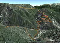
I think the best adjective I’ve heard describing the Siberia Creek Trail is that it was relentless. And it was. It just never ended. But using a term usually applied to rivers, it was also incredibly wild and scenic. I knew there was a rock formation called Gunsight not too far from the aid station, and kept looking for big boulders along the trail that fit its description. I hope to get back there soon and do the trail when I’m not in a “I have to get up this thing” mode.
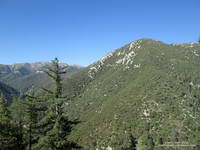
For those of us doing the Siberia Creek climb in the midafternoon, we were very fortunate to have cool weather. The Converse RAWS, which is at about 5600′ and a few miles away, topped out at 75°F at noon and was at about 71°F at 3:00 pm. Just six days before the temp had been 90°F at 2:00 pm.
The downside to that cool afternoon weather was cold weather at night. I reached Aid Station #6 (Champion Lodgepole Pine) at about 6:00 pm and it was already beginning to get chilly. A runner ahead of me had alerted aid station personnel that runners needed water and I had been glad to see a volunteer headed down the trail with a jug of water.
For spending so much time thinking, thinking, thinking about not much else except reaching the aid station, I didn’t spend much time there. The temperature was dropping and the wind was picking up. I refilled my hydration pack, had a half-cup of warm noodles and some Coke, and headed on out.
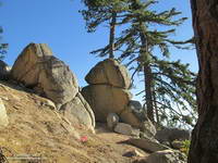
Remember those Hoka tracks I’d been following? I caught up to them part way up Siberia Creek. Turns out they belonged to Debbie Botten. She lives just over the hill from me and we have some friends in common. Shortly after dark we and Gabriel Hernandez started running together. This made a huge difference in being able to deal with the last miles of the course. Gabriel would sometimes run ahead and at one point spotted a bobcat on a log, watching us run by!
It was cold! Except for a pair of compression shorts I probably should have put on, I had on everything I’d taken — two short sleeve shirts, heavy sleeves, an ultralight shell with a hood, and gloves. It was windy up on the ridge near Grand View and I was very happy when we didn’t follow the 100 mile course along the ridgeline and began our descent.
The final stretch of dirt road paralleled Big Bear Valley, and running down it was like a slow motion nighttime approach to LAX. Ever so slowly the glowing lights of the city came up to meet us. From time to time we could hear distant cheers as runners crossed the finish line, and each time the cheers were a little louder and boosted our spirits a little more. Soon we too were running down the asphalt of Pine Knot Ave and to surprisingly enthusiastic cheers and shouts, given the hour, crossing the finish line!
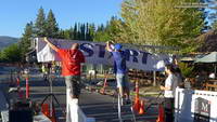 Getting Ready |
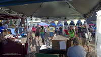 Kodiak Basecamp |
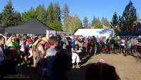 Race Meeting |
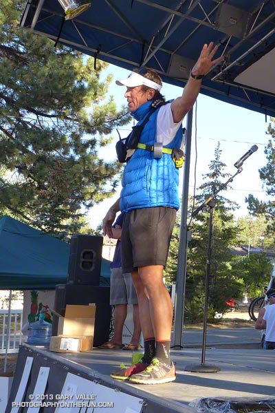 RD Paul Romero |
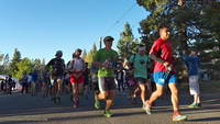 Kodiak 100 Start |
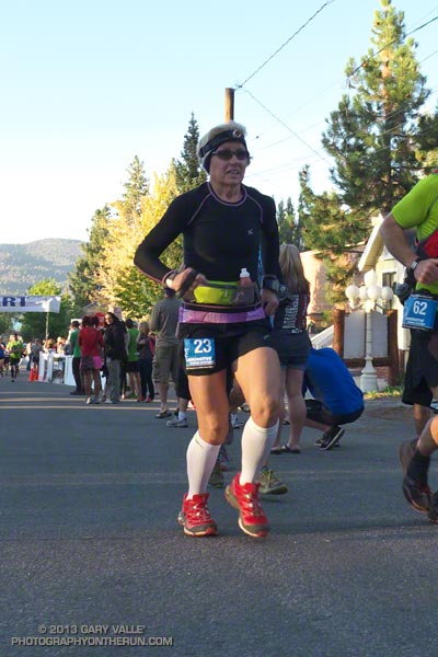 Womens 100M Winner |
Many thanks to Paul Romero, Eric Bulrice, Matt Smith, Dede Hermon, Scott & Tammy Carnohan, Sarah Sherry, Peter Brennan and Cyril Jay Rayon for the huge amount work necessary to put an event like Kodiak together. “Hey, let’s do a 100 mile course around Big Bear Lake and while we’re at it, open up a historic trail that hasn’t been maintained for decades!” Also a big THANK YOU to the volunteers. I was always greeted with a smile and all the help I needed.
Out of the 67 100 milers that started, only 19 finished and most of the favorites dropped. In a race where the top time was expected to be under 20 hours, New Hampshire’s Garry Harrington’s was the only runner to break 24 hours, coming in at 23:58:55. The top woman in the 100 miler was Jeri Ginsburg from San Diego, with a time of 29:15:10.
Runners in the 50 mile fared better. Out of 71 runners that started, only 17 dropped. Italy’s Michele Graglia put down a phenomenal 9:32:28 for the win. The top woman in the 50 mile was Kristina Tudor of Azusa, who cranked out a 12:03:20. Fifteen year old Steven Evers (remember when you were 15?) flew through the course in 11:53:31.
My friend Ann, with no regrets, called it a day at Camp #4, which we now know is at about mile 79. She had no issues and plans to do Kodiak again next year. She did have something unusual happen during the race. After running miles and miles alone up Crab Flats Road she began to wonder if she was still on course. Rounding a corner she saw a couple rummaging around in a van with bikes on it. She asked if it was a water station and was told, “Yes, but it is for a motorcycle event!’ For the moment it took to realize she was being had, she thought she was miles off course. They had a good laugh about it later. When she reached Camp #4 she texted this to her TransRockies running partner:
“I’m totally happy with 75 glorious miles, the course is just way hard so takes long. I had my night run, stars and full moon and the PCT! Happy me! Volunteering now :)”
Here is an interactive Google Earth view of the 100 mile (red) and 50 mile (yellow) courses. The view can be zoomed, panned and tilted. Placemark locations and distances are approximate. The distances are those calculated by SportTracks from the GPS tracks. If your device/browser doesn’t support the Google Earth plugin, here are a some Google Earth snapshots of several sections of the Kodiak 100/50 Mile courses:
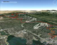 Start to Camp #2 |
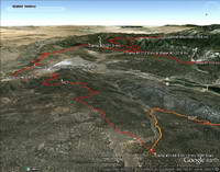 Camp #1 to Camp #3 |
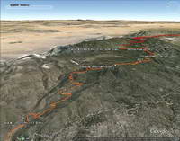 Camp #3 to Aid #4 |
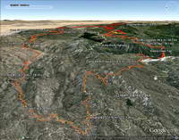 Aid #4 to Camp #4 |
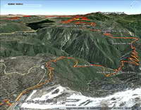 Camp #4 to Aid #6 |
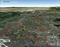 Aid #6 to Finish |
In SportTracks the 100 mile track (from Garmin Connect) worked out to 104 miles with a conservative gain/loss of +15,801 / -15,831. My 50 mile track worked out to 53 miles with a gain/loss of +8,310 / -8,861. SportTracks elevations were corrected using pkan’s Elevation Correction Plugin and NED 1/3 arc second DEMs. SportTracks elevation data smoothing was set to conservative value of 55.
For more info, full results, and photos see the Kodiak 100 web site and Facebook page.
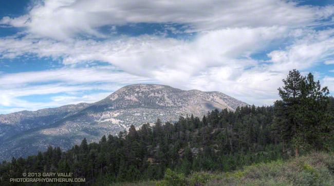
Sugarloaf Mountain (9952′) is the high point of the Kodiak 100 Ultramarathon, a new ultra being run this Friday, Saturday & Sunday, Sept 20-22, 2013, in Big Bear. A 50 mile course is also being offered.
The 100 mile race begins Friday at 6:00 p.m. at The Village of Big Bear Lake. The summit of Sugarloaf Mountain is at about mile 17.5 of the course. Assuming clear skies, runners will ascend the peak under the light of a 98% full moon. According to the U.S. Naval Observatory data, sunset on Friday will be at 6:47 p.m., with “civil twilight” ending at 7:12 p.m. Moonrise will be at 7:30 p.m. At 9:00 p.m. the moon will be about 18 degrees above the eastern horizon.
The 50 mile race begins Saturday at 6:00 a.m. at about the half-way point of the 50 mile course. Saturday, civil twilight begins at 6:10 a.m., with sunrise at 6:35 a.m. Sunset is at 6:45 p.m., with civil twilight ending at 7:10 p.m. Moonrise Saturday evening will be at 8:08 p.m.
The photo of Sugarloaf Mountain is from the South Fork Trail just above Horse Meadows on the way down from an ascent of San Gorgonio Mountain this August. The south face of Sugarloaf Mountain drops about 3800′ to the Santa Ana River east of Barton Flats.
Note: Sun and moon rise and set times depend on the altitude and location of the observer, and other factors, so may vary a few minutes from the times mentioned above.
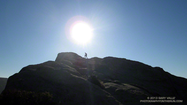
Joey “Threw it on the Ground” Morrison, who whole-heartily embraced the spirit of the Backbone games, was momentarily transformed into the iconic coyote runner while on the top of Eagle Rock.
The Coyote Backbone Trail Ultra was a phenomenal experience and a fantastic running event. The work required to pull it off is beyond comprehension. Many thanks to Chris Scott, Howard Cohen, Mike Epler, Gretchen Garrnet, Manley Klassen and everyone that helped make it happen — especially Lynette Brody (California State Parks) and Catharine Beverly Bishop (NPS). Also a BIG thanks to the aid station personnel, the safety crews, the EMTs, the communications staff, the trail sweeps and the huge number of volunteers that contributed to the event. The runners that I met along the way were exceptional people as well as superb athletes. I feel fortunate to have participated.
After Kanan I had to focus on getting from one aid station to the next, and finishing the run!
Here’s an interactive, 3D terrain view of the 2013 Backbone Trail run from my GPS track.
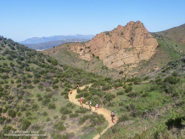
Bandit 50K Runners Descending the Chumash Trail
If my training goal was to be running on spent legs, I had achieved that goal. I was at mile 22 of the Bandit 50K and trying to run up Las Llajas Canyon. On paper (or LCD display) Las Llajas is a gradual climb, gaining a modest 600 feet in a little more than 3 miles. But on dirt and in reality it is an onerous climb that numbs the mind and makes you mumble to yourself, “Why can’t I run up this thing any faster?”
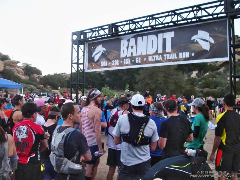
Since early December I’d been doing extra training to prepare for the Coyote Backbone Trail Ultra at the end of March. Part of the training plan was to combine the Ray Miller 50K and Bandit 50K with other runs to increase the mileage. I had been following the usual training tenants and trying to vary the types of workouts, the mileage and intensity. So far it had all gone well, but the miles were adding up.
Early in the race I’d taken it easy — especially up the insanely steep “Corridor Trail.” But some trail running temptations can’t be resisted and I had pushed the pace going down the Chumash Trail — one of my favorite trails. Even if that was one of the reasons I was struggling a bit going up Las Llajas, it was worth it.
The new out and back from Las Llajas Canyon to Tapo Canyon was so much better than doing the Chumash-Las Llajas loop twice! The running was varied and challenging; plus we were able to marvel at the race leaders, and share the experience with many more runners! Chris Price and several other runners looked strong cranking it up out of Chivo Canyon. Averaging just a little over 8 minute miles, Chris went on to break the Bandit 50K record he set in 2011, doing the new (and longer) course in an amazing 4:10:23!
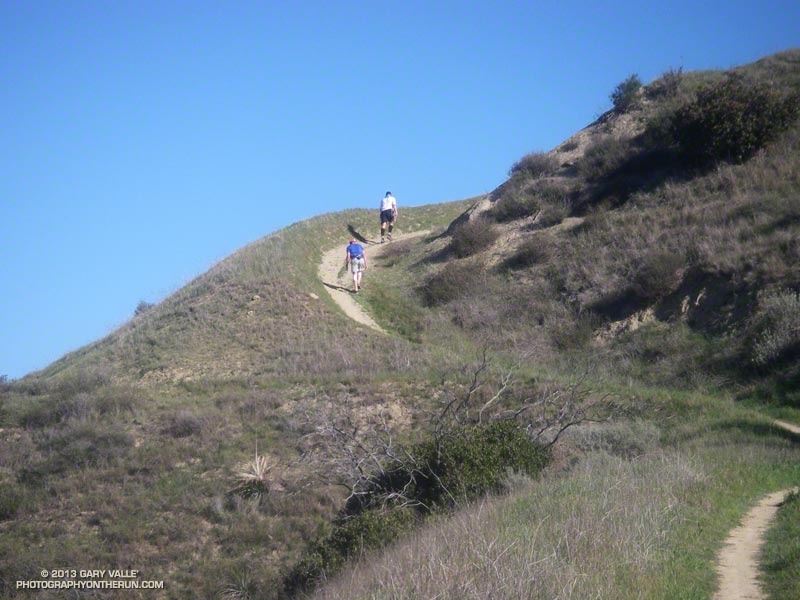
The weather forecast had looked a bit iffy earlier in the week — iffy hot in this case. But temps had cooled by about 10 degrees in 24 hours, and today the weather was excellent. It was on the warm side on a couple of the climbs, but nowhere near what it can sometimes be on a warm Winter’s day in Southern California.
After an indeterminate time I made it up Las Llajas Canyon to the split and started climbing up the steep oilfield road that connects to Rocky Peak Road. Part way up I was extremely disappointed to see that my Hill Climbing Helper® wasn’t where I left it. This made me even slower going up the hill.
Once the last hard climb to Fossil Point is done it doesn’t take long to get to the Chumash Aid Station. Rolling terrain leads from there to the top of the Rocky Peak grade at about mile 27. From there it is nearly all downhill to the Finish.
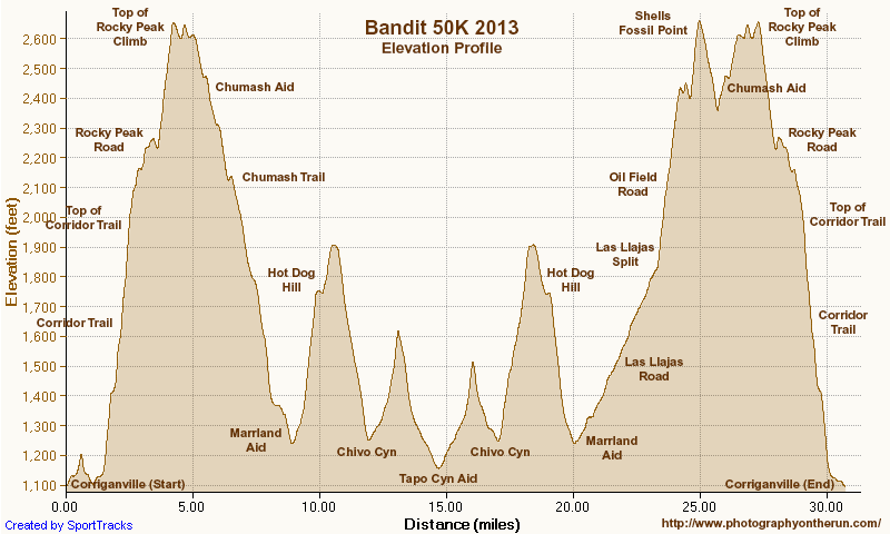
More than 450 runners participated in the 5th edition of the Bandit Trail Runs, competing at distances that ranged from 6K up to 50K. Many thanks to the Bandit race committee — Randy, Sarita, Larry, Tommi, Mat and Eric — and all the Bandit volunteers, sponsors and runners.
According to my GPS tracks the 2013 50K course was about 3/4 of a mile longer than the 2011-12 course and had slightly more elevation gain/loss. Here’s an interactive Google Earth Flyover and Elevation Profile of the new 50K course. The flyover is interactive and can be paused and restarted at any point. You can rotate, zoom, and tilt the view. Mileages and locations are approximate and based on my 50K GPS track. The Google Earth plugin is available for most desktop browsers.
Note: The Bandit Trail Runs event is now Rocky Peak Trails.
Here are few additional photos. Click the image for more info and a larger image.
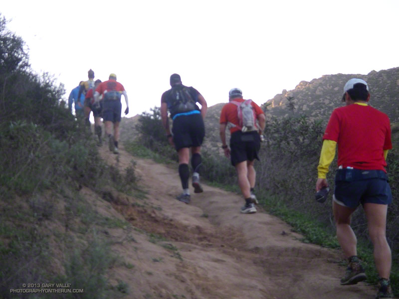 Steep Climb |
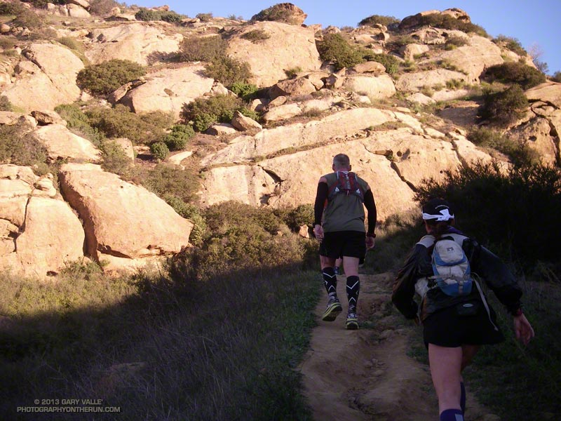 Corridor Trail |
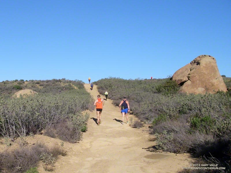 30K Leader |
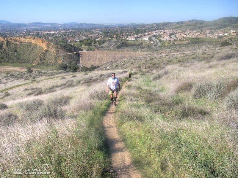 Low on Hot Dog Hill |
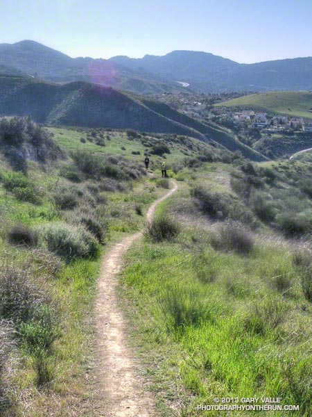 Working Up Hot Dog Hill |
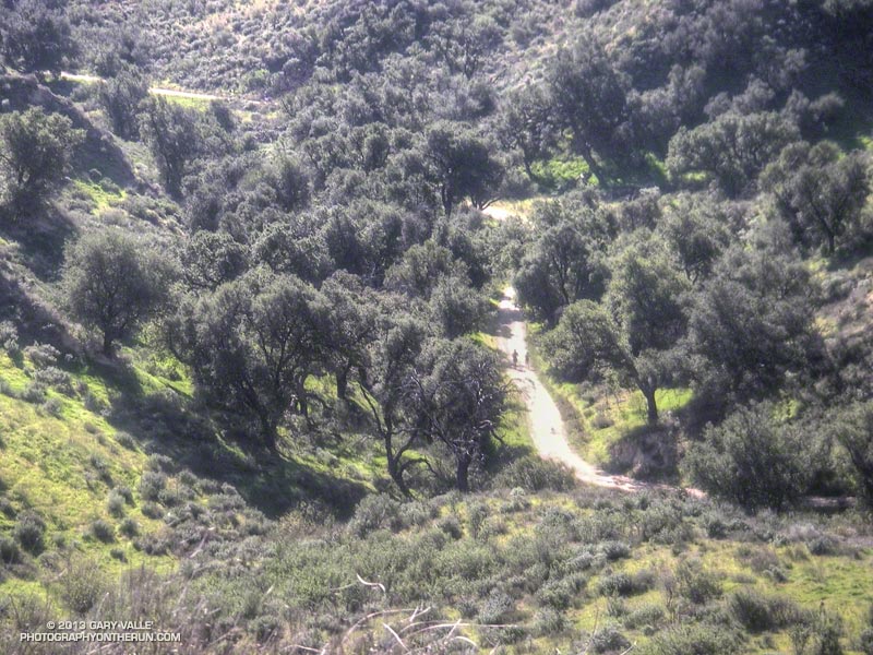 Returning from Tapo |
Some related posts: Bandit 50K 2011 Notes, Bandit 30K 2009