Category Archives: weather|southern california

Christmas Eve Trail Run

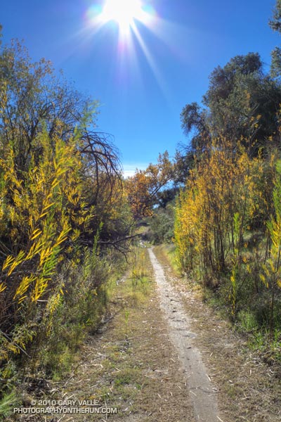
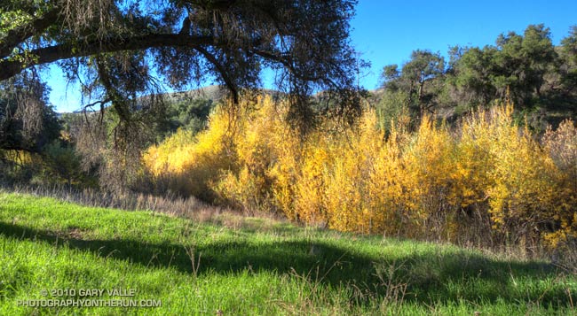
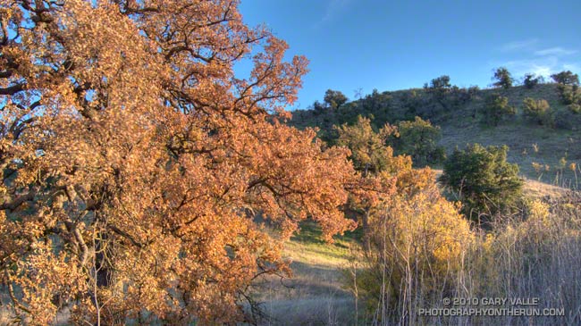
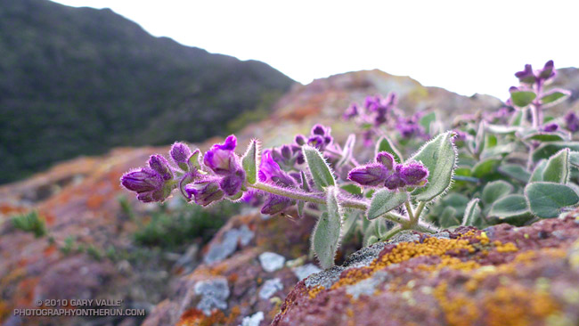
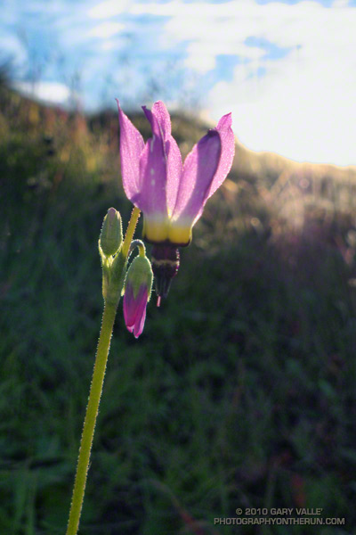
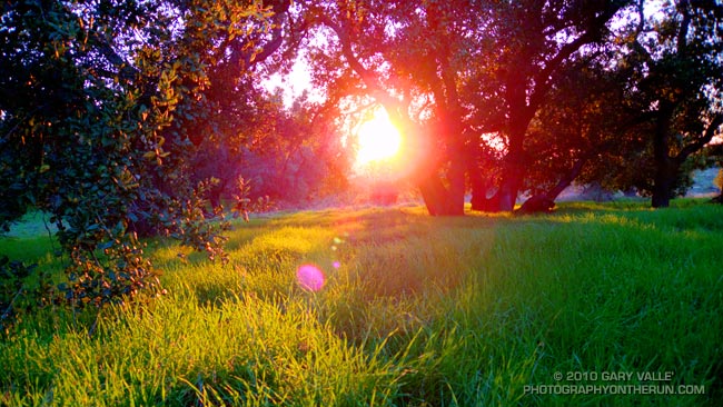
As much rain as we’ve had in Southern California, we’ve still seen some stunning December days with blue skies, pleasant temperatures, and sensational trail running.


Today I was running with Frank and Lynn. They’re visiting from the Pacific Northwest, where the amount of rain has been more or less normal, and spending Christmas in Southern California, where — you know — we’ve had the wettest December in 121 years.

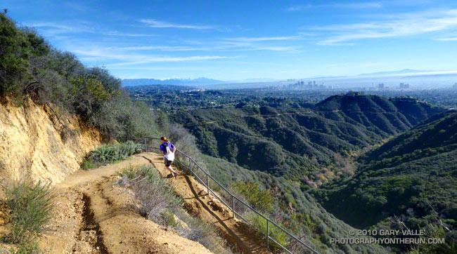
More rain was forecast for late Christmas Day, but today we were between storms. To celebrate the wonderful Christmas Eve weather we did the 21 mile Will Rogers – Temescal loop from Marvin Braude Mulholland Gateway Park in the San Fernando Valley.


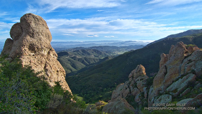
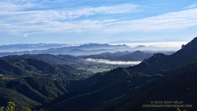
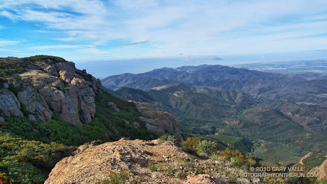
The run is a Santa Monica Mountain classic, descending from the crest of the range along one long ridge nearly to the coast, and then ascending back to the crest on another. The views along the ridges are boundless, encompassing the Ventura Mountains, San Fernando Valley, San Gabriel Mountains, San Bernardino Mountains, Saddleback, downtown Los Angeles, Westwood, Santa Monica, Catalina and more.

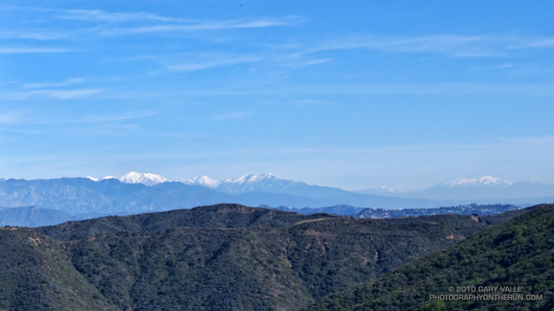
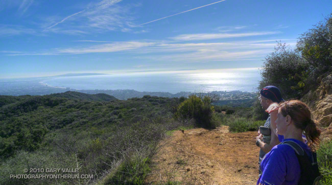
Today, the high peaks east of the basin were capped by new snow, and in addition to Mt. Baldy, it was easy pick out San Bernardino Peak, far to the east. From near Skull Rock, Santa Monica Bay glittered in the sun, the shore of the Pacific extending in a graceful arc to Palos Verdes Peninsula and Catalina.

There were the usual muddy and wet sections that follow a good rainstorm, but other than one small rock and mud slide on the Rivas Canyon Trail, the trails were in surprisingly good shape. It was an outstanding run!

Some related posts: Will Rogers – Temescal Loop, Will Rogers Western Ranch House, Los Angeles Basin Fog

Sunny Sunday

Upper Las Virgenes Canyon

Today was one of those spectacular, sunny, warm December days we relish in Southern California; perfect for just about any outdoor activity. High temperatures were forcast to be in the high 80’s or low 90’s, and temperature records for the date were expected to be broken in many areas. As I ran north in upper Las Virgenes Canyon, I wasn’t sure where, or how far, I was going to run. On such a great day, it really didn’t matter.

Yesterday I’d looked across at Simi Peak while ascending Ladyface, and realized it had been more than a year since I’d run to Simi Peak from the Victory trailhead at Ahmanson Ranch. Rain was forecast the following weekend, so I’d better take advantage of the good weather while I had it! The out and back run to Simi Peak would be a good one.


The most direct route to China Flat and Simi Peak from upper Las Virgenes Canyon road is the Sheep Corral Trail. This singletrack trail forks left (west) from the road where Las Virgenes Canyon splits, initially following the main creek west, rather than the pipeline north. The singletrack is popular with mountain bikers and can be used to connect to the Cheeseboro Ridge and Cheeseboro Canyon trails. Both of theses trails are good options for doing a lollipop loop back to Las Virgenes Canyon.

Today I would continue past Cheeseboro Ridge and Cheeseboro Canyon to the Palo Comado fire road. Palo Comado leads up and over a low pass to an old sheep corral at China Flat. Simi Peak is bit more than a mile west of the corral. It usually takes about 15-20 minutes to run there from the sheep corral.

Here’s an interactive Cesium browser View of a GPS trace of my out and back route.

Some related posts: Simi Peak Out & Back, Scenic Route to Simi Peak, Vernal Pool at China Flat

Long Shadows, Cool Canyons

Valley oak

It’s that time of year. Willows and wild walnut trees are showing some Fall color, and the valley oaks are losing their leaves. Even on a warm day, the long shadows, clear skies and low humidity of late Autumn cool the hillsides, generating chilled katabatic flows down gullies and canyons.

As temperatures warmed up this week I took a probe thermometer on my afternoon trail runs at Ahmanson Ranch (Upper Las Virgenes Canyon Open Space Preserve) and measured the temperature of some of these invisible streams.

My general weather data reference for the area is the Cheeseboro Remote Automated Weather Station (RAWS). The high temperature at the Cheeseboro RAWS ranged from 73°F on Tuesday to 75°F Thursday. The temperature in the shade at the Victory trailhead parking lot at the beginning of my runs (around 4:00-4:15) was about 70°F.

Tuesday, the temperature on the road about 1.1 miles from the parking lot, and above East Las Virgenes Canyon was about 69°F. A quarter-mile away, down in the dry streambed, the temperature was a chilly 47°F — a drop of 22°F.

Wednesday, I ran to upper Las Virgenes Canyon. The temperature at a saddle above the canyon was 66°F. Down in the canyon near one of the stream crossings, the temperature was 45°F — a difference of 21°F.

Thursday I ran back to the same point in Las Virgenes Canyon. Even though the high temperature for the day was about the same as Wednesday, the humidity was higher, and there were some high clouds. The katabatic flow was not as well-defined, and the temperature drop was only about 13°F.

Conditions during the week were not especially favorable for hillside radiational cooling, and I expect temperature differences of 30°F might be possible in ideal circumstances. In any case it feels like that in running shorts and a short-sleeve shirt.

Early Bloomers

Wishbone bush (Mirabilis californica)

This autumn, the first measurable rainfall at Downtown Los Angeles was on October 4, 2010. Since then we’ve seen some rain in Southern California every 7 to 10 days or so. The storms haven’t been huge, but many locations have recorded near to above average rainfall for the water year to date. Some, like Santa Barbara and San Diego, are well above normal for the date.


Because of our erratic weather, many Southern California plants are opportunistic and will shift their growing and flowering season to take advantage of wet weather.

Discounting plants that normally bloom in autumn, one of the earliest of the early bloomers this autumn was this bigpod ceanothus in Pt. Mugu State Park, photographed on November 14. Another early bloomer was Wishbone Bush which was beginning to bloom in the Simi Hills on November 21. This Shooting Star was photographed at Sage Ranch on November 30. In the past couple of weeks I’ve also seen Prickly Phlox, Bush Monkeyflower and Wild Cucumber in bloom.

The title photograph is Wishbone Bush on the northeast ridge of Ladyface last week.

Some related posts: Wishbone Bush, Shooting Stars, California Prickly Phlox, Bush Monkeyflower

Oaks, Grass & Sun

Oaks, Grass and Sun

It’s unusual to see this much green in Southern California in mid November. The growth is the result of a wet October, with some areas recording several times the normal amount of rainfall.

Although water year rainfall totals for many areas of Southern California are still near or above normal for the date, November is the customary start of the rain season, and so far this month, we’ve been drier than normal.

That might change this weekend. Models have been having a tough time with the evolution of a low and trough that is already producing rain and snow in the Pacific Northwest. In true La Nina fashion, the high amplitude flow might result in the southern part of the trough being more offshore (wetter), or more onshore (drier), as it sets up over the West. We’ll see!

The photograph is from this afternoon’s run in the Simi Hills.

Boney Mountain Morning

Crags on Boney Mountain's western ridge.

The face was not steep, but I was glad the pockmarked volcanic rock had big holds. Rainwater filled some of the pockets, and patches of lichen and moss on the face were saturated and slippery. It wasn’t a runout climb at the Needles or Tuolumne Meadows, but gravity still worked the same way. I reminded myself not to do something “stoopid.”


At the top of the face I looked around and sighed, and then looked around and sighed again. It was another stunning morning on the western ridge of Boney Mountain. To the west a nearly full moon struggled to remain above the hills, its brightness veiled in a mix of clouds. Another storm was expected in the evening, and the sky told of its approach. Broad strokes of cirrus brushed the blue above, and here and there fingers of tattered stratus reached into the coastal canyons and clung to the wet hillsides.

Today’s forecast for the Santa Monica National Recreation Area had called for mostly cloudy skies, and a high in the 60s. At the moment it was mostly sunny, but already there were hints of clouds developing on the ridges and mountaintops. At some point in the day the clouds would envelop the mountains, and transform the morning’s expansive vistas into a dimensionless gray. I hoped to get up the ridge, over Tri-Peaks, and to Sandstone Peak before that happened.


By chance the clouds behaved, and the splendid views and weather continued all the way to Sandstone Peak, and beyond. The run back to the Wendy Drive trailhead on the Backbone, Sycamore Canyon, and Upper Sycamore trails could not have been better.

As I climbed the final little hill to the parking area I noticed I had no shadow. Over the course of the afternoon the cloud deck would continue to lower and thicken, and by evening light rain would begin across the area.

Some related posts: Clouds and Crags, Conejo Valley Sun and Boney Mountain Clouds, Sandstone Peak from Wendy Drive