Tag Archives: trail running

Condor Peak and Fox Mountain Adventure Run

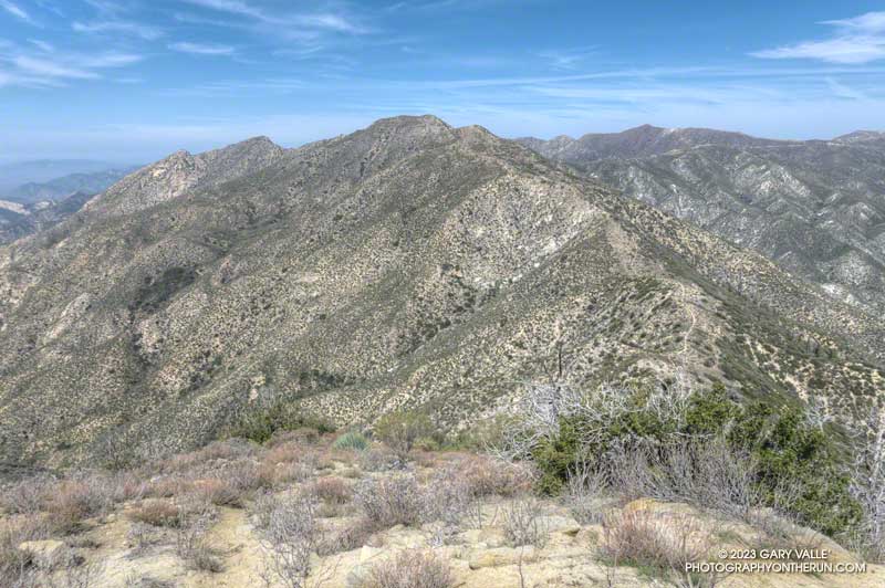
Condor Peak from Fox Mountain

The out and back trail run to Condor Peak (5440’+) and Fox Mountain (5033′) from Vogel Flat is an adventurous 17-mile, lower elevation run in the San Gabriel Mountains.
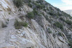
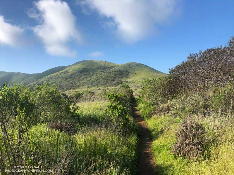
Exposed stretch of the Condor Peak Trail

When I last did this run (May 2020), portions of the trail below Fox Mountain were washed out and overgrown. Later I learned that this was before the Condor Trail restoration project had been completed. Thanks to the hard work of the Lowlifes Trail Crew the trail has been brought back to life. Today, several groups — including hikers, bikers, and runners — were making their way to Condor Peak.
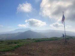
Hazy view of snow on Mt. Waterman and Twin Peaks from the Condor Peak Trail.
Snow on Mt. Waterman and Twin Peaks from the Condor Peak Trail.

As mentioned in my posts from 2007 and 2020, this adventure is best done when the weather is cool. It can really bake on the south-facing sections of trail. From the Vogel Flat Trailhead on Big Tujunga Canyon Road the trail climbs about 2600′ in 6 miles to reach Fox Divide. Much of this stretch is surprisingly runnable. As with most mountain trails, extra care is required because of steep drop-offs and other hazards.

Today, the trail was in the best shape I’ve seen in years. The weather was relatively cool and good for running. As has been the case in other low elevation areas, a colorful assortment of Spring wildflowers were blooming along the trail. With our copious Winter rain, two small streams were crossed on the traverse above Fusier Canyon. It’s hard to say how long they will last.
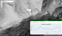
USGS Lidar-based 3DEP 1m contour map of Condor Peak

Condor Peak has twin summits. A register and summit sign currently reside on the west peak, but USGS 3DEP 1-meter Lidar-based data suggests the west and east peaks have virtually identical elevations – about 5441′.

This time, after climbing Condor Peak, I also climbed Fox Mountain. Although steep, it’s short, and doing Fox only added about 30 minutes to the total time.

Here are a few photos taken along the way. Additional info, photos, and an interactive map with 3D terrain can be found in the following related posts.

Some relate posts: Condor Peak Out and Back Adventure Run, Condor Peak Trail Run

Soggy Shoes, Soppy La Jolla Valley, and Sensational Wildflowers

Approaching Mugu Peak from La Jolla Valley
Approaching Mugu Peak.

After doing a climbing /trail running combo in Pt. Mugu State Park last Sunday, I headed back to Wendy Drive this morning to do a trail run to Mugu Peak and back.

The plan was to get in a long run (20 miles) with fewer “get your feet wet” stream crossings, and also check out the conditions on several trails I hadn’t done this year.

Boney Mountain (left skyline) from Mugu Peak

So much for keeping the feet dry! The temp was in the mid-30s when I turned off Big Sycamore Canyon fire road and onto Wood Canyon fire road. The main creek draining Sycamore Canyon cuts across the fire road here, and there was no way I was going to get across it without wading. Some smaller stream crossings followed, ending with Wood Canyon Creek.

My shoes were squish-squashing loudly as I started up Hell Hill. The 600′ climb was almost enjoyable with the cool temperatures. Partway up, a slurry of rock and mud had flowed from the hillside onto the road — the soil saturated from storm after storm.

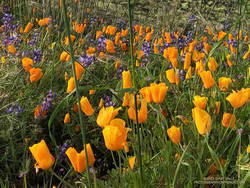
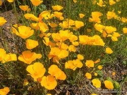
California poppies mixed with lupine along the Mugu Peak Trail

Several trails/roads converge at the top of Hell Hill, and I turned right onto the fire road that leads to the La Jolla Valley Loop Trail. I like to do Mugu Peak as part of a counterclockwise loop that combines segments of the La Jolla Valley Loop Trail and Mugu Peak Trails.

Long stretches of the La Jolla Valley Loop Trail between the walk-in camp and Mugu Peak were sopping wet. I’ll be curious to see how quickly it dries out, but today (April 2) it was really, really wet.

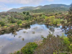
La Jolla Loop pond in La Jolla Valley in Pt. Mugu State Park.
La Jolla Loop pond is rarely this large — or even a pond.

Mugu Peak was pretty much as it always is on this side — busy and steep. The steepness of the “Direct” trail helped wring the water from my Ultraglides and Injinji socks. By the time I reached the top, my feet were only damp.

Mugu Peak is VERY popular, and there are almost always a few people taking in the wide-ranging views from the summit. Most do the short, steep hike from PCH on the Chumash Trail. A few start at the Ray Miller Trailhead — or like I was doing today — the long route from Wendy Drive.

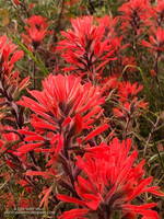
Vivid red paintbrush along the La Jolla Loop Trail in Pt. Mugu State Park.
Vivid red paintbrush along the La Jolla Loop Trail

Although I usually climb the peak, two other options are worthwhile: the loop around the ocean-facing side of Mugu Peak and
the loop around La Jolla Valley.

The wildflowers along the Mugu Peak Trail and La Jolla Loop Trail were fantastic. California poppies were plentiful on the south-facing slopes. The vibrance of the bright orange poppies could not have been better accentuated than by purple lupine. Yellow bush sunflower, royal blue phacelia, and rich red paintbrush also decorated the trail.

Bright yellow collarless poppies along Danielson Road.

I followed my usual route on the way back to Wendy — returning to the Hub, descending Hell Hill, retracing my steps in Wood Canyon, then following the Two Foxes single-track trail north to a short connector to Sycamore Canyon Road. This is near the Danielson Multi-Use Area. Once on Sycamore Canyon Road, the route back was the same as last week — up 1.8 miles of paved road and then onto the Upper Sycamore Trail. After that, up Danielson Road and across Satwiwa to the Wendy Drive trailhead.

Here is an interactive, 3D terrain map of my GPS track to Mugu Peak and back from Wendy Drive. To change the view, use the control on the upper right side of the screen. Track and placename locations are approximate and subject to errors. Poor weather and other conditions may make this route unsuitable for this activity.

Also, see the archived maps of Rancho Sierra Vista/Satwiwa and Pt. Mugu State Park from the NPS website, and the maps of Pt. Mugu State Park on VenturaCountyTrails.org.

Some related posts: Out and Back Trail Run to Mugu Peak, Running to Serrano and La Jolla Valleys from Wendy Drive, Busy Mugu Peak

After the Station Fire: Back to Bear Canyon

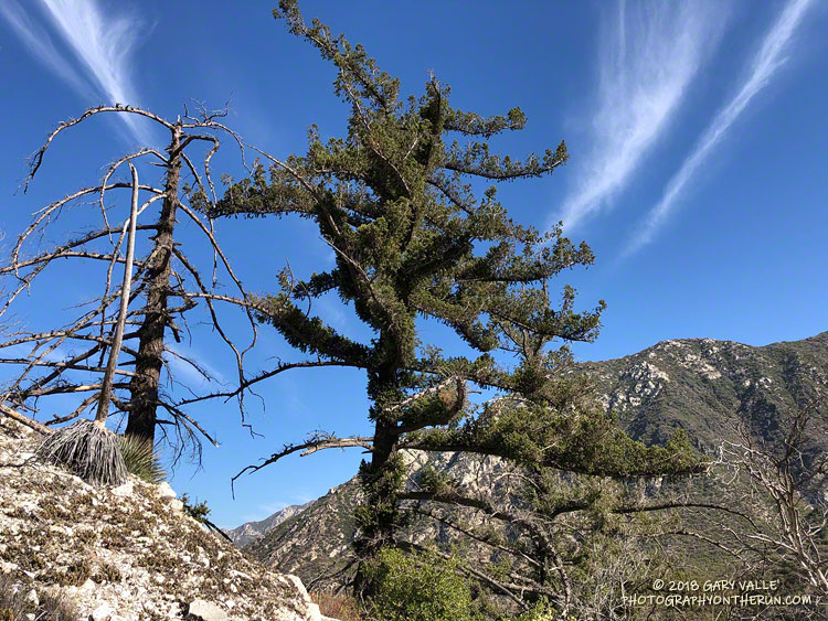
Bigcone Douglas-fir burned in the 2009 Station Fire. September 1, 2018.

It’s been nine years since the Station Fire burned 160,577 acres in Angeles National Forest. The Red Box – Bear Canyon – Gabrielino loop is a long time favorite adventure run that I’ve enjoyed doing many years before and after that 2009 fire.

The loop was the first I did when the area reopened in May 2011. The trails were in poor shape — overgrown and damaged from flash floods. The notorious fire-follower Poodle-dog bush had flourished in the wake of the fire and was particularly bad along the Gabrielino Trail between Switzer’s and Red Box. Thinking I was “immune” to the plant, I brazenly plowed through it, and as a result spent several inflamed nights trying to sleep in a reclining chair.

Each year Bear Canyon and upper Arroyo Seco recover a little more. Poodle-dog bush is in decline and in many areas nearing the end of its life-cycle. The chaparral, bay trees and oaks are all recovering; and the bigcone Douglas-firs that survived the fire have become more fully-foliaged.

Bear Canyon from the upper Bear Canyon Trail.
Bear Canyon from the upper Bear Canyon Trail. Click for larger image.

This year Bear Canyon was a little drier than last. The creek was a trickle, disappearing in the sand in some areas and creating small pools in others. The path in the upper part of the canyon, above Bear Canyon Camp, was better defined, but still tricky to follow in some spots.

With the dry conditions, most of the poison oak had already turned red. It was easy to spot, but difficult to avoid. The “stinging nettle” creek crossing higher in the canyon wasn’t as overgrown as last year, but I still managed to brush against a plant or two.

Bear Canyon ends at Arroyo Seco, downstream of Switzer Falls. After turning upstream on the Bear Canyon Trail, I hadn’t run far when I encountered a couple of mountain bikers. They asked me, “is this the trail to JPL?”

This wasn’t the first time that I’d encountered misplaced riders or hikers on this section of trail. Some get misplaced looking for the falls and others mistakenly follow the Bear Canyon Trail down into Arroyo Seco instead of continuing high in the canyon on the Gabrielino Trail. Because of the completion of the restoration of the Gabrielino Trail there were a few more riders on the trail than usual.

Here are a few photos taken along the way.

Some related posts: Bear Canyon Loop: If the Poison Oak Doesn’t Get You, the Stinging Nettle Will; After the Station Fire: Red Box – Bear Canyon – Gabrieleno Loop; After the Station Fire: Contact Dermatitis from Turricula parryi – Poodle-dog Bush

Running to Shangri-La

Cloud-shrouded Saddle Peak, Cold Canyon and Monte Nido from Calabasas Peak fire road in the Santa Monica Mountains.

Well, maybe not Shangri-La, but a Lost World kind of morning on the Calabasas Peak fire road segment of the Secret Trail.

Calabasas Peak fire road traverses the rock formations on the left, descending to Stunt Road. At Stunt the route continues up the Stunt High Trail to the Backbone Trail. Here you can do an optional out and back to Saddle Peak, shrouded in clouds in this photo, or turn west on the Backbone Trail and continue mostly downhill to Piuma Road near Malibu Canyon Road. Malibu Canyon is in the distance on the right in the photo.

The panorama is from a run earlier this month. Here’s a larger version.

Related post: Secret Trail Variations