Phantom Trail: Trade-offs of a Wet Rainy Season

View west toward Boney Mountain from the Phantom Trail

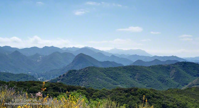
View West Toward Boney Mountain from the Phantom Trail

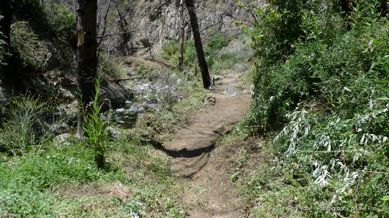
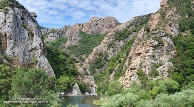
Following last weekend’s Holcomb Valley 33 and yesterday’s trail work, today I was looking to do something moderate. Without thinking too much about the condition of the Phantom Trail when I was on it a month ago, I decided to do the Phantom loop in Malibu Creek State Park. The eight mile loop is normally a favorite recovery run. The 1000′ of elevation gain/loss is kind to tired legs, and the loop has varied terrain and great scenery.


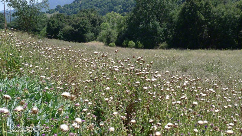
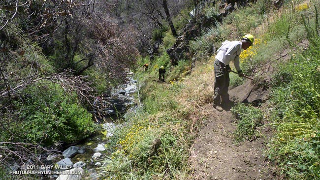
The first five miles (Cistern, Lookout, Cage Creek, Crags Rd., Grassland and Liberty Canyon trails) are in decent shape, but portions of the Phantom Trail are really overgrown. The growth of the noxious invasive plant milk thistle in the Liberty Canyon area is the worst I’ve seen in years. At one point near Liberty Canyon the spiraling winds of a strong thermal picked up a countless number of the thistle’s plumed seeds and carried them to who-knows-where!


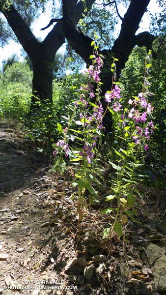
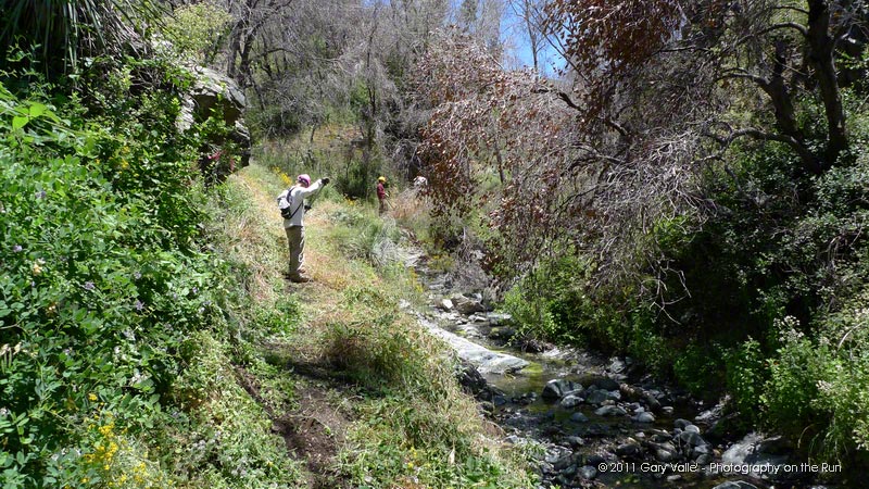
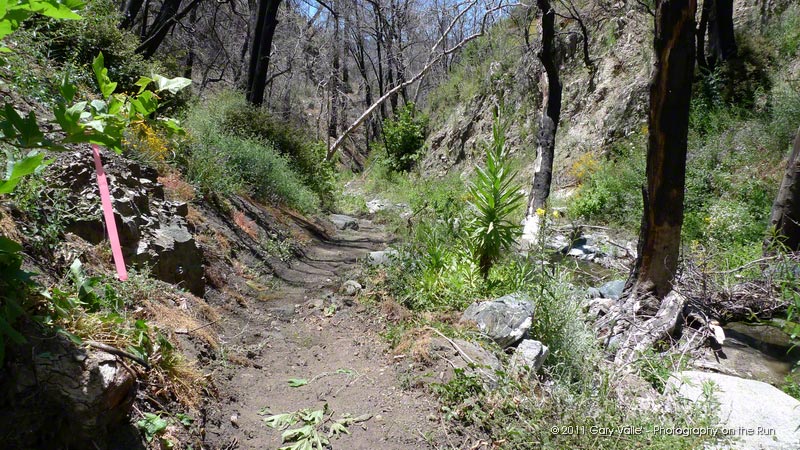
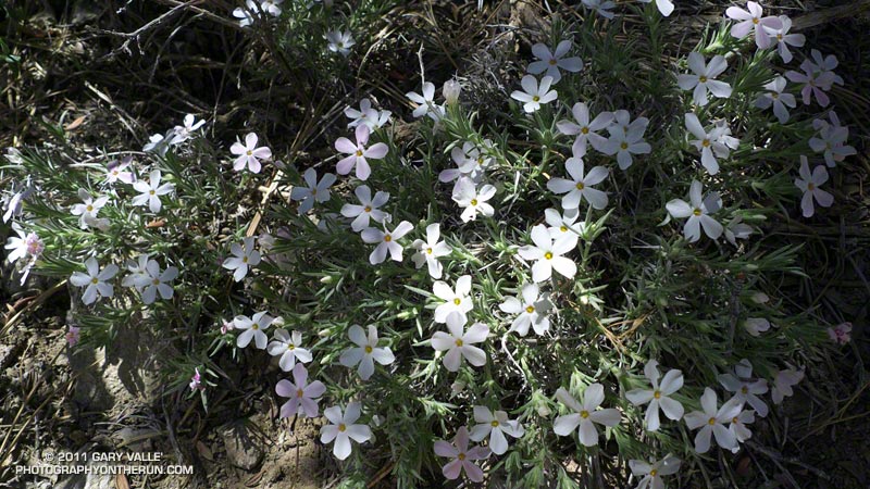
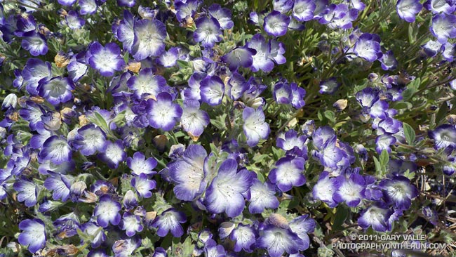
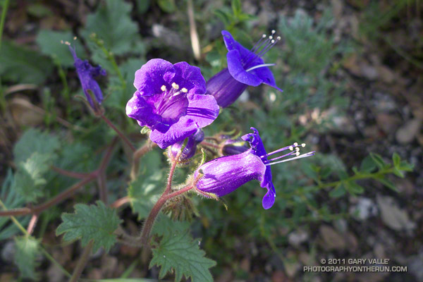
The middle section of the Phantom Trail climbs up a shaded side canyon to a prominent ridge line. It isn’t as overgrown. There is some very healthy poison oak that is sometimes difficult to avoid, but it’s a pretty section of trail with a lot of green and a variety of wildflowers.

Once up on the ridge and for about the last 1.5 miles of the loop, the issue isn’t with an noxious invasive, but with the native plant deerweed. It’s so thick and brushy it’s often difficult to see the trail — or your footfalls, or ruts or rocks, or anything else on the trail.

While I wouldn’t recommend this loop right now as a trail run, it was interesting to see (once again) how our wet rainy season has affected this area.

Some related posts: Invasive Thistle on the Phantom Trail, Milk Thistle Seed Heads

After the Station Fire: Silver Moccasin Trail Work

Trail work on the Silver Moccasin Trail in Shortcut Canyon

If you have fond memories of the rustic running in Shortcut Canyon during last year’s Mt. Disappointment 50K, hold on to those memories because this year you’re going to be running on a bona fide, genuine trail.

Under the direction of trail maintenance guru Gary Hilliard, R.D. of the Angeles National Forest Trail Race (formerly Mt. Disappointment), 19 hard-working volunteers closed the final gap in this badly overgrown and damaged section of the Silver Moccasin Trail. Burned in the 2009 Station Fire, floods ravaged the canyon, and then soil conditions and above average rainfall combined to produce teeming plant growth.

Volunteers recovered most of the original trail, removing fallen limbs and trees, clearing overgrowth and debris, and restoring sections damaged by erosion and flooding. Large patches of stinging nettle, and some turricula (Poodle-dog bush) and poison oak were also removed from the trail.

See the  trail work schedule on the Angeles National Forest Trail Race web site for the remaining trail work dates.

Here are a few additional photographs:


Road Maintenance


Mt Disappointment 50K Volunteers


Turricula Along Restored Trail


Silver Moccasin Trail


Done for the Day


Tools of the Trade

Related post: Trail Work and Tree Rings

Holcomb Valley 33 Mile Trail Run 2011

When you’re a middle-of-the-pack runner doing a 33 mile race in the mountains of Southern California you have a lot of time to think. I’d already been running 5 1/2 hours, and what I was thinking about at the moment is that I wished I had spent the last week in Big Bear, Mammoth, or anywhere higher than the soaring 890′ elevation of the west San Fernando Valley.


Why? The Holcomb Valley 33 Mile course is deceiving. Even though it has only one steep climb, and the total elevation gain/loss is only about 3600′, it has the highest average elevation of any 50K in Southern California. Nearly 30 miles of the course are above 7000′, and this translates to a big performance hit, especially for the unacclimated, middle-of-the-pack runner.

In addition to wishing I was acclimatized, I was also thinking that we’d lucked out again this year and the weather for the race was pretty comfortable. It was warmer at the start of the race than last year, and even though the midday temps recorded at Fawnskin were almost identical to last year, it felt a little warmer for most of the run. (The descent to, and climb out from, aid station #6 must be tough on a day in the eighties!)


And besides the altitude and weather, I was thinking it was taking a long time to get to aid station #7. It seemed I should have reached the Belleville miner’s cabin by now. The cabin’s at about mile 26 and only about a mile and a half from the LAST aid station.

Finally, the flat surrounding the cabin came into view. How different that view would have been 140 years ago. At the height of the gold rush Belleville was a boom town of thousands, and as the third or fourth largest town in Southern California had vied for the county seat! Somewhere across the flat was a large western juniper said to have been a hangman’s tree.

Fifteen minutes later I was a happy runner; drinking cola, getting a bottle filled with ice and water, and kidding around with the aid station volunteers from Bear Valley Search & Rescue. They were outstanding — as were all the volunteers!


After thanking everybody for being there, I turned onto the PCT and started to jog up the trail. Even though more than 5 miles remained — more than half of it uphill — it felt good to be on the last leg of the race and headed for the finish line!

Congrats to the overall winners Jorge Pacheco (4:20:13) and Vanessa Jones (5:45:16) and to all the runners that participated in the race. This year the median time (half the runners above, half below) was about 7:38:00.

Here’s an interactive Google Earth flyover of the course that can be viewed in most browsers. (Google Earth plugin required.) Distances specified are based on my GPS trace from last year, and were calculated in SportTracks. Distances and placemark locations should be considered approximate. Here’s an elevation profile from last year’s post about the race.

Many thanks to Gary and Pam Kalina, Bear Valley Search & Rescue, the sponsors, and all the volunteers for a great race! For additional info see the Holcomb Valley Trail Runs web site.

Related post: Holcomb Valley 33 Mile Trail Run 2010

Coyote Tag

coyote that ran with me

I was deep in thought, but have no idea what those thoughts might have been. It was at that point in a run when miles, and thoughts, flow freely. The afternoon was warm and calm and the settling sun cast a golden hue on the blond, oak-studded hills. My footfalls ticked out a steady rhythm on the dirt road, and my mind was at ease.

My reverie was suddenly broken by the realization that a coyote was running with me. Not running yards in the distance, or in the brush off to the side, but five or six feet in front of me, as if restrained by an invisible lead!

It must have come from the tall grass along the margin of the road, but from my daydream-warped perspective had just suddenly appeared. I’m surprised I didn’t stumble or start. But there was no hint of aggression or malice — just a mischievous glance backward to see how I was going to react.

I didn’t. I’ve had numerous encounters with coyotes, but this went so far beyond my other experiences, I didn’t know how to react.

For more than 50 yards the coyote ran with me, keeping pace in lead along the deserted dirt road.

At some point I started to try and retrieve my camera from the small pack on my waist. The out of synch movement disturbed the delicate balance of this improbable scene, and I could see the change in the animal’s demeanor.

Before disappearing into the cover, the coyote looked back a final time, and in so many words seemed to be saying “gotcha, you’re it!”

(From a run Tuesday at Ahmanson Ranch, now Upper Las Virgenes Canyon Open Space Preserve.)

Some related posts:
Trickster
Coyote Tag II

After the Station Fire: Phacelia Near Three Points

Various species of Phacelia are fire-followers and have bloomed in profusion in areas burned by the Station Fire. These are Davidson’s Phacelia (Phacelia davidsonii) along the Three Points – Mt. Waterman Trail about a mile from Three Points.


Like Turricula (Poodle-dog bush)*, many species of Phacelia can cause a contact dermatitis similar to poison oak. Generally, any Phacelia should be considered suspect, and especially those that are fuzzy and sticky.

One Phacelia that has been shown to elicit a reaction is California bluebell (Phacelia minor) — a relatively common wildflower in the middle to lower elevation areas burned by the Station Fire. In one study, it was found that the amount of two active compounds in Phacelia minor required to produce a qualified reaction was 6.3 µg and 3.8 µg; compared to 170 µg for Turricula and 1.6 µg for a component of urushiol from poison ivy.

*The taxonomic name for Turricula parryi (Poodle-dog bush) has changed to Eriodictyon parryi. The Jepson Manual: Vascular Plants of California, Second Edition (2012) has returned Turricula to the genus Eriodictyon, as originally described by Gray. According to the Wikipedia entry for Turricula (April 11, 2012), “… molecular phylogenetic analysis carried out by Ferguson (1998) confirms that Turricula should be treated as a separate genus within a clade (Ferguson does not use the term “subfamily”) that includes Eriodictyon, and also the genera Nama and Wigandia; Eriodictyon is the genus to which Turricula is closest in molecular terms, and is its sister taxon.” I use “Turricula” and “Poodle-dog bush” interchangeably as a common name.

Related post: After the Station Fire: Contact Dermatitis from Turricula parryi – Poodle-dog Bush