Category Archives: wildflowers

Run to the Cheeseboro Remote Automated Weather Station

Cheeseboro Remote Automated Weather Station (RAWS)

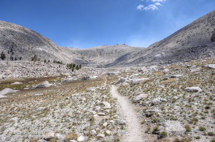
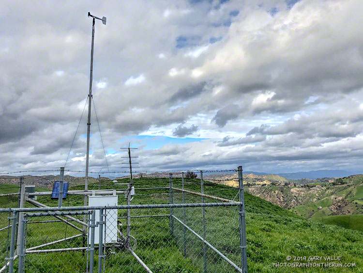
This afternoon’s run was to the Cheeseboro Remote Automated Weather Station (RAWS). The station is perched on the ridge between Las Virgenes Canyon and Cheeseboro Canyon, along the Cheeseboro Ridge power line service road.

It is about 5 miles from the Victory Trailhead of Upper Las Virgenes Canyon Open Space Preserve (formerly Ahmanson Ranch) and one of many good runs from that trailhead into the Cheeseboro – Palo Comado Canyon area.

California poppies in Las Virgenes Canyon

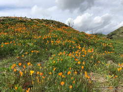
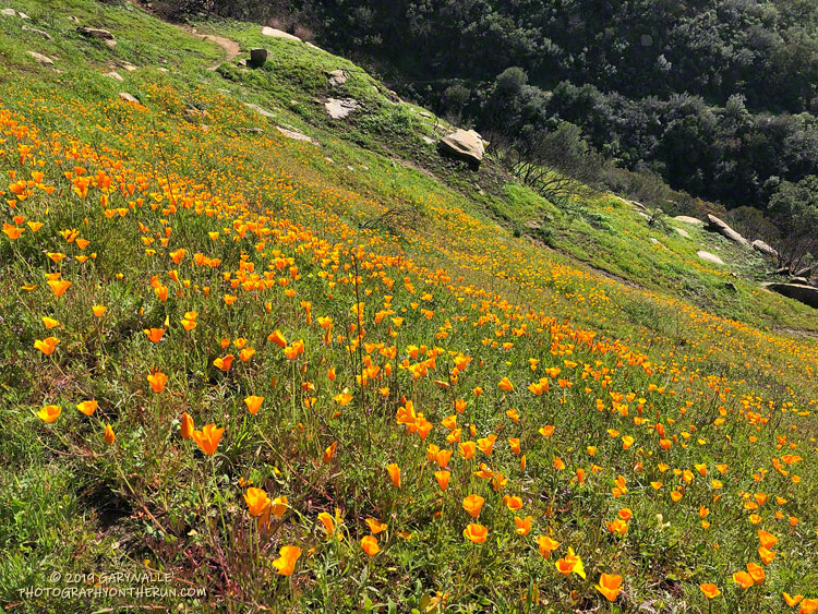
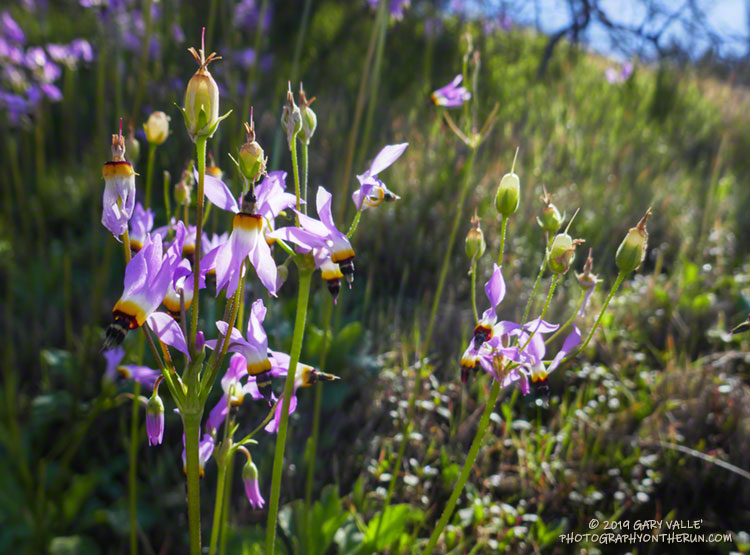
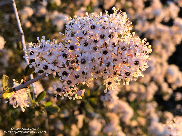
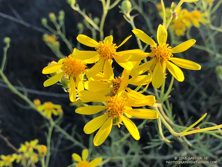
Runs in the Ahmanson Ranch area are especially scenic at the moment. Above average rainfall has produced lush green growth in the oak grasslands following the Woolsey Fire. Many of the oaks are beginning to sprout new leaves and poppies and other wildflowers are beginning to bloom. Today there was a nice show of poppies in Las Virgenes Canyon at the connector leading to Cheeseboro Ridge and Cheeseboro Canyon.

Operated by the BLM and NPS the Cheeseboro RAWS (CEEC1) has been in service since September 1995. The station was in the area burned by the 2005 Topanga and 2018 Woolsey Fires and was active throughout each event.

Following are some of the extremes recorded by the station:

• Highest hourly temperature was 115 °F on July 7, 2018.
• Lowest hourly temperature was 32 °F on December 12, 1998.
• Maximum hourly wind speed was 37 mph on October 22, 2007.
• Maximum wind gust was 92 mph on January 6, 2003.
• Maximum daily precipitation was 5.01 inches on February 12, 2003.

So far this rain year (July 1 to June 30), 15.67 inches of rain has been recorded by the station.

Related post: Southern California Trail Running Temps

California Poppies Along the Lower Stagecoach Trail

California Poppies Along the Lower Stagecoach Trail above Corriganville in Simi Valley

Rounded a corner running down the Lower Stagecoach Trail, above Corriganville, and was suddenly immersed in a sea of orange.

The area was burned in a potentially dangerous fire, the Peak Fire, that started along the 118 Frwy on November 12, 2018, while the Woolsey Fire was still being fought. The fire threatened homes in the eastern Simi Valley and Box Canyon, but was aggressively attacked by firefighters and quickly knocked down.

Sage Ranch Shooting Stars

Shooting stars (Dodecatheon clevelandii ssp. patulum) at Sage Ranch Park.

Shooting stars (Dodecatheon clevelandii ssp. patulum) love wet weather, but produce capsules that help protect their seeds should the weather turn suddenly dry.

These shooting stars are on a new section of the Loop Trail at Sage Ranch Park. The Loop Trail was rerouted due to the ongoing cleanup at the Santa Susana Field Lab.

Ceanothus at Sunrise

Bigpod Ceanothus in Topanga State Park

Bigpod Ceanothus is normally the first of the Ceanothus species in the Santa Monica Mountains to bloom each year. It is a foundation species in the range and can be found along most trails. These were along Fire Road 30 (Temescal Ridge Fire Road) near the beginning of a run to Trippet Ranch.

In some years it seems every shrub in the chaparral is a big pod Ceanothus and the hillsides are carpeted in white. Along a trail thick with the blossoms you may notice a subtle earthy fragrance with a spicy edge. On that same trail in the Summer, you may be startled by a loud “Pop!” when a heated pod explodes, releasing its seeds.

Bush Senecio on Temescal Peak

Bush Senecio on Temescal Peak. September 23, 2018.

Yellow seems to be the predominant color of late-summer and fall wildflowers in Southern California. In addition to the bush Senecio pictured above; rabbitbrush, goldenbush, tarweed, telegraph weed and common sunflower come to mind.

From a recent run of the Trippet Ranch loop, with a side trip to Temescal Peak.

Cottonwood Pass – New Army Pass Loop 2018

Upper Rock Creek Basin.

The smoke in the Owens Valley was as thick as PCH fog, and I wondered if it would extend into the higher elevations of the Sierra.

From Whitney Portal Road I couldn’t see any of the ridges on Lone Pine Peak and the visibility at the bottom of Horseshoe Meadow Road wasn’t much better. Gradually, as I drove up one long switchback and then another, the smoke thinned. At Horseshoe Meadow the sky in the direction of the crest was a decent Sierra blue, but smoke still spoiled the views down the canyons and over the valley.

As usual, I parked at the equestrian and overflow parking area for the New Army Pass Trail. From here, the start of the Cottonwood Pass Trail is a 5 minute walk SSW through the trees and downhill. I prefer to do the loop clockwise, going over Cottonwood Pass first, and then New Army Pass later in the run. Late season, I’ve also done the loop using (old) Army Pass, but that is more of a mountaineer’s route and is often blocked by snow and ice.

New Army Pass is fairly high — 12,300′ — and the east side is quite steep near the top. Depending on the year, snow and ice can be an issue, even in mid-summer. When doing the loop clockwise, confirm in advance that New Army Pass will be passable with your level of experience and the equipment you’ll be carrying.

For more details see the related posts below.

Here are a few photos from the run.

Some related posts: Cottonwood Pass – New Army Pass Loop 2013, Cottonwood – Army Pass Loop, Cottonwood Pass – New Army Pass Loop 2011