Category Archives: photography

Bandit 50K 2014 Notes

Approaching the top of the first steep climb in the 2014 Bandit 50K

As I worked up the hill toward “Fossil Point” I drank the last mouthful of water from my bottle. I wasn’t surprised that I had run out. The morning temperature had been the warmest in the six year history of the event, and the midday temp in the sun felt like it was in the mid-80’s — maybe higher.

In Southern California it has been the kind of Winter that those in northern climes can only dream about: Day after day with fair skies and the temperature in the 70’s and 80’s. Great for trail running, but with the trade-off that we had had the least amount of rain in over a century.

Running down Hot Dog Hill

Chugging up the steep hill I thought about how the run had gone so far. Even if it was a little warm, it was still a pretty good day for a trail run! I hadn’t tried to push the pace on the initial steep climb from Corriganville, and had (mostly) resisted the temptation to pound down the Chumash Trail. The crazy-steep section of Hot Dog Hill on the out and back section of the course felt just as steep and insane as it did last year and the downhill to the Open Space aid station just as pleasant.

It was awe-inspiring to see the faster runners as they returned from Tapo Canyon. As I started the descent into Chivo Canyon Jay Bonthius, the eventual winner of the 50K, had flashed past. The youngest runner in the race, the 19 year old went on to finish his first 50K in 4:05:52 — setting a new course record. His average pace was a remarkable 7:55 min/mile! He ran up the hills faster than many of us ran down them!

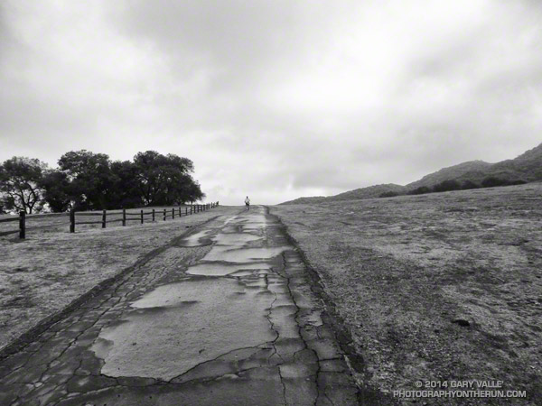
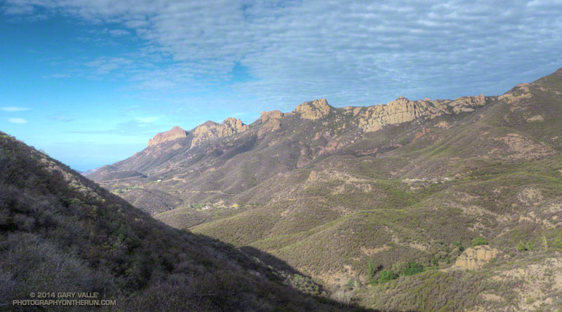
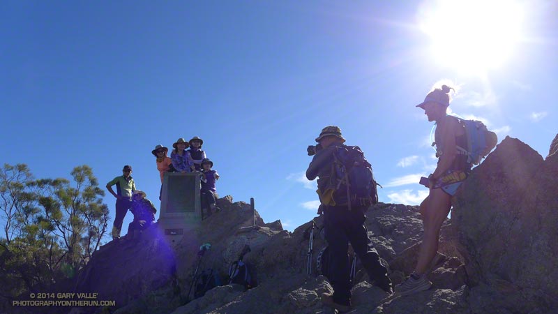
I was very happy to get to the top of the climb at Fossil Point. Although it wasn’t the end of the running, or the hills, it was a key point in the 50K. It marked the end of a grueling 5 mile climb from the Las Llajas aid station — the last major climb on the course. It also had water.

I had carried two bottles and that was still not quite enough. There is only so much time during a race available for hydration, and I had made the mistake of not drinking water early, BEFORE I was thirsty. At this point I was dehydrated and that could not be completely remedied until sometime after I crossed the finish line.

Rocky Peak Road
Rocky Peak Road

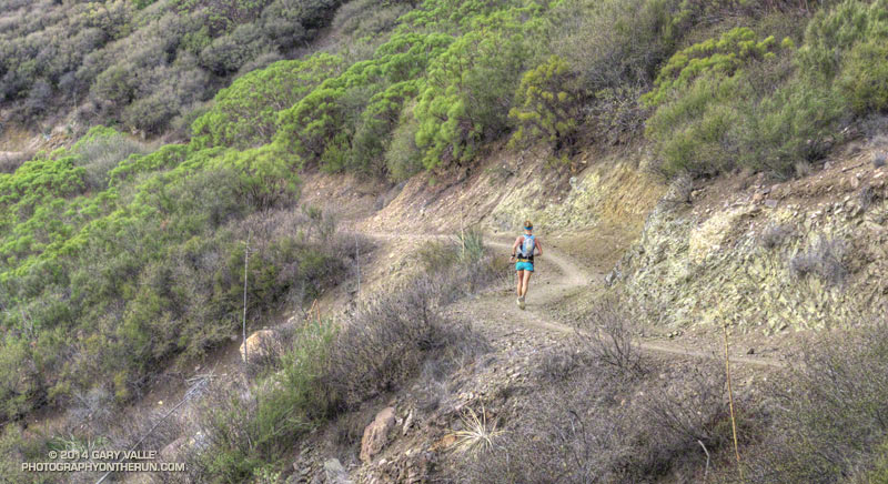
Another four miles would find me at the top of the Corridor Trail, which on tired legs might as well be the edge of the earth. This steep one mile descent is the most technical on the course and as challenging as any of the hills. I am always happy to get to the bottom. From here the finish is a little more than a half-mile away and I smiled as I heard the cheers as another runner crossed the finish line.

More than 500 runners participated in the 6th edition of the Bandit Trail Runs, competing at distances that ranged from 6K up to 50K. Many thanks to Bandit Race Committee – RD Randy Shoemaker, Sarita Shoemaker, Eric Cartier, Tommi Diaz, Mat Diaz and Josh Lewis. Each year they find a way to make an outstanding event even better!

Once again the aid station volunteers were phenomenal! Thank you Nancy Shura-Dervin and the Ultraladies, the Encino Trail Heads, Sue Apostolof, Diane Treptows, and all the volunteers! There was not an aid station where I wasn’t greeted with a smile and all the help I needed. Also many thanks to those that worked registration, parking, the finish line, timing, finish line food, photography, safety, communications, and all the other work needed to put on an event like the Bandit.

Alison Chavez receives check from RD Randy Shoemaker
Alison Chavez and RD Randy Shoemaker

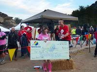
Reflecting the dedication and character of its organizers, each year the Bandit gives back by supporting an important cause. Last year Bandit raised funds for a local high school running program. This year Bandit is rallying behind runner Alison Chavez in her battle against cancer.

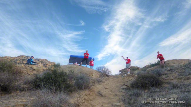
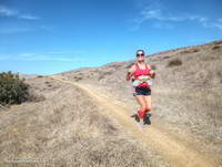
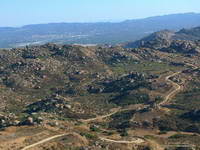
Here is a slideshow with a few images from this year’s 50K.

(The Bandit Trail Runs are now the Rocky Peak Trails races.)

Trippet Ranch Runner

Runner at Trippet Ranch in Topanga State Park

When I turned the corner at the Trippet Ranch parking lot and started up the hill toward the Musch Trail, I did a double take. The road was wet and it looked like it had been raining!

While it wasn’t impossible that a rogue shower had been spawned from the deep layer of moisture flowing over the area, it was far more likely the road was just wet from on-again, off-again drizzle.

On the way over from the end of Reseda one thing is for sure — there had been no rain. The dirt roads and trails had been in great shape. It would have been an exaggeration to describe them as damp. Although cool and cloudy, the weather was excellent for running and I’d removed my sleeves miles ago.

The Trippet Ranch Loop is a favorite. I’d taken the fire roads out from the end of Reseda, now on the way back it would be almost entirely single track trail.

Some related posts: Trippet Ranch Oaks, Trippet Ranch Mule Deer, The Heavenly Ranch in the Hills, Ferns Along the Garapito Trail, Garapito Trail Runs

Morning Clouds and Sun from the Secret Trail

View west this morning from the Secret Trail in Calabasas toward Castro Peak and part of Malibu Creek State Park

This morning while the northern half of California continued to be inundated by an atmospheric river, recording inches of rain, in western Los Angeles County temps were cool; there was a mix of sun and wintry-looking clouds; but no rain.

The view is west from the Secret Trail in Calabasas toward Castro Peak and part of Malibu Creek State Park.

Wave Cloud Sunset

Dissipating wave clouds provide fuel for a fiery sunset

Tuesday afternoon during a run to Las Virgenes Canyon a series of extraordinary wave clouds developed in the skies of Southern California. Over the course of the 90 minute run the clouds slowly shifted and changed, eventually beginning to dissipate and provide fuel for a fiery sunset.

As mentioned in the post Lenticular Wave Clouds, the unusual “flying saucer” appearance of wave clouds has long drawn attention, the clouds having been depicted in 15th century art.

Here are a few additional photographs of the wave clouds as they developed and then dissipated. More photographs and information about wave clouds will be found in the links below.

Related posts: Lenticular Wave Clouds, Atmospheric Dynamics, Mountain Weather

Drizzle on Datura

It may have only been drizzle and very isolated light showers, but after the 13 driest months on record in Los Angeles and 42 days without measurable rain — and counting — being able to run in the “rain” this afternoon felt incredible.

If all the comments on Facebook and Twitter about the relief of having a little drizzle are any indication, we must have a built-in sense of the need for rain, and crave it when we don’t get enough.

Backbone Trail Training 2014 – Kanan to Mishe Mokwa to Wendy Drive

Backbone Trail Ultra Training Run #2 2014

Rock Formations Along Wet Fork Arroyo Sequit from the Backbone Trail

The Coyote Backbone Trail Ultra was one of the most enjoyable runs I did last year. The low key approach with the emphasis on the experience rather than the clock was the perfect fit for my first 100K+ run. To be able to run the entire Backbone Trail with great support, company and entertainment was fantastic.

Today’s run — the second of four 2014 Backbone Ultra training runs — was from Kanan Road to the Mishe Mokwa trailhead near Circle X. This approximately 15 mile segment is one of the most scenic on the Backbone Trail with expansive views and superlative sections of single track trail. The 850′ climb from Encinal Canyon to Etz Meloy Motorway is so well-graded you (almost) don’t realize you’re gaining elevation.

I was looking to get in some extra mileage and it turned out running cohort Ann Ongena was as well. Ann was marking the course for the training run, so the plan was to do the Kanan to Mishe Mokwa segment and then continue from Mishe Mokwa another 13 miles or so to the Wendy Drive trailhead in Newbury Park.


A little before dawn Backbone Ultra RD Howard Cohen dropped us off at the Kanan Road trailhead and then headed back to Mishe Mokwa to coordinate the training run. The temp at the trailhead was around 60 degrees, which is about 30 degrees warmer than last year’s frosty training run on this segment.

For some reason my GPS watch was a little slow to sync with the satellites, and while I waited Ann was already busy on the trail. Course markings don’t have to be numerous or obtrusive to be effective. The few markers she would place would be removed by Tres when he swept the course.


The run from Kanan to Mishe Mokwa went well. As has been the case too often this Winter, the weather was nearly ideal for running. Last year at this time Downtown Los Angeles had recorded 4.35 inches of rain for the water year (since July 1). That was well below average. This water year to date we’ve only recorded 0.97 inch of rain — a meager amount and less than in the record driest water year of 2006-2007.

On this run and all the runs I’ve been doing this Winter I’ve been looking at how the chaparral plants deal with drought. Generally, they reduce their water needs by not flowering, remaining dormant, dropping leaves, producing much smaller leaves, folding or rolling their leaves and in other ways. Some annuals simply don’t germinate. Some plants such as chamise, with its needle-like leaves, deal with drought well; others such as bush monkeyflower are barely recognizable.


As I reached the high point of the Yerba Buena segment of the BBT above Mishe Mokwa and Circle X I vividly recalled being there during last year’s Backbone Ultra. It was about 9:30 at night and I had been running for 15 hours. I could see the lights of the aid station in the valley below and then heard — or thought I heard — cheers for a runner reaching the aid station. Although barely audible, those cheers picked up my spirits as much as they did the runner reaching the aid station!

I didn’t hear any shouts from Mishe Mokwa this morning, but the thought made me smile. Overhead the layer of clouds which had been with us most of the morning was beginning to dissipate, and the temperature was beginning to climb. Across the valley Boney Mountain’s iconic rock formations stood in relief against a mackerel sky and I stopped a couple of times to photograph the scene.


At Mishe Mokwa we enjoyed the fare at Howard’s & Victoria’s rolling aid station and relaxed for a few minutes as a large group of hikers assembled and then started up the trail.

When marking a course it’s preferable that when the main group finishes the run the course-markers be comfortably ensconced in folding lounge chairs, an IPA in hand, sweat-free and looking as they have been there for hours. With more miles to cover I substituted a soda for the IPA and after about 10 leisurely minutes we followed in the hiker’s footsteps and continued up the Backbone Trail to a busy Sandstone Peak — the highest peak in the Santa Monica Mountains.

After spending a few minutes on the summit of the popular peak we worked over to the west junction of the Tri Peaks Trail, then down the Chamberlain, Old Boney and Blue Canyon trails to Sycamore Canyon. Here we left the Backbone Trail and enjoyed a little easy running up Sycamore Canyon to the Upper Sycamore Trail. Upper Sycamore ends at Danielson Road, which we followed to Satwiwa and trails that connect to Wendy Drive.

Some related posts: Backbone Trail Training 2014 – Stunt to Kanan, Backbone Ultra – Training Run #2 (2013), Backbone Ultra 2013