Category Archives: photography|wildlife

More Highs and Lows on the PCT Between Inspiration Point & Islip Saddle

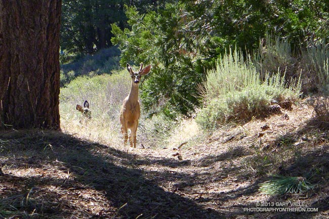
Young deer on the PCT on Blue Ridge in the San Gabriel Mountains

The trail run from Inspiration Point to Islip Saddle traverses a rolling section of the PCT along Blue Ridge, descends to Vincent Gap (6565′) and then climbs a switchbacking trail to the summit of Mt. Baden-Powell (9399′). The run continues along the crest of the San Gabriels on the PCT past several 9000′ peaks to Little Jimmy Spring and campground. From there it is a couple of miles to the parking lot in the saddle between Mt. Islip and Mt. Williamson.
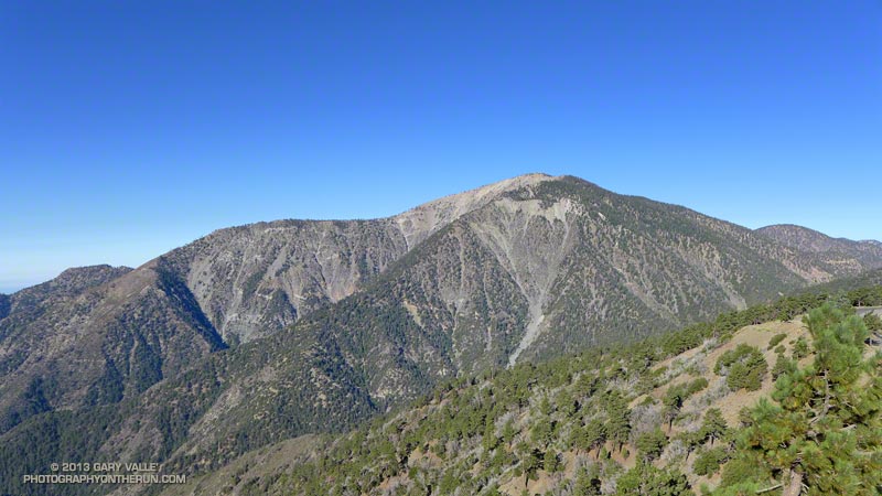


A longer version of the run continues over the shoulder of Mt. Williamson to Eagles Roost. Many runners stop at Eagles Roost because of the now seven year (!) closure of the 3.5 mile segment of the PCT between Eagles Roost and Cooper Canyon. Continuing past Eagles Roost requires running 2.7 miles on Highway 2 to Buckhorn Campground, picking up the Burkhart Trail and following it down to the PCT in Cooper Canyon.
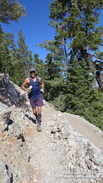


Today we were looking to do under 20 miles and keep the elevation gain to something sensible. Tim had run this stretch just a couple weeks before while doing the Angeles Crest 100 — his first 100 miler. Craig had crewed and paced a friend in the AC100 and was training for an upcoming 50 miler. Over the past several weeks I’d been doing a series of higher altitude runs and was also training for a 50 miler.

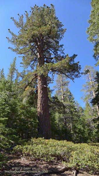
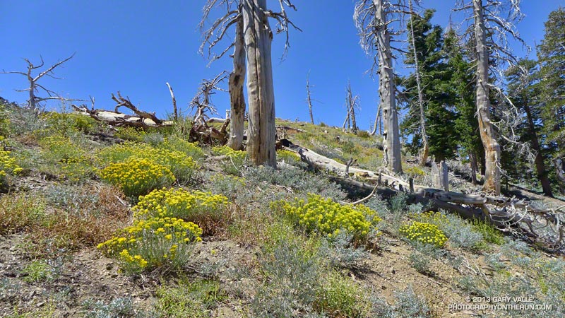
So far the run had been really relaxed and low key. We’d encountered a pair of young deer near Jackson Flat. They’d eyed us curiously before bounding off into the trees and the encounter seemed to have set the tone for the run. From time to time we stopped to enjoy a view point, look at the geology, or take a picture of a big ol’ tree. Rabbitbrush was blooming everywhere, adding a bright yellow accent to the rocks and ridges.
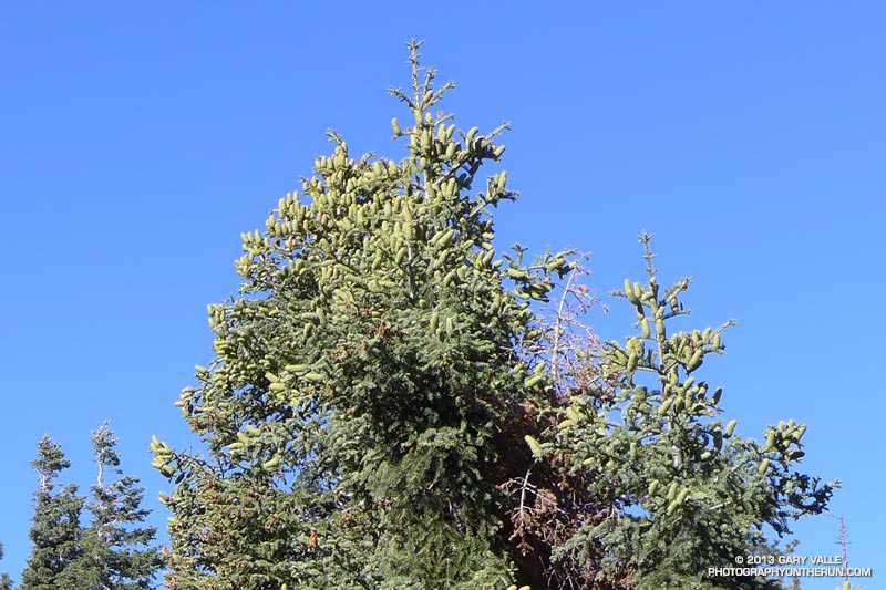


Earlier this year I photographed a bumper crop of cones on bigcone Douglas-fir in the Mt. Wilson area and here on Blue Ridge white firs had produced a huge number of cones. Other plants, such as bush chinquapin, had also produced large crops this year. Currant bushes along the trail had been productive, but because it has been so dry the fruit was smaller than normal.


The demeanor of the run changed part way up Baden-Powell. Mt. Baden-Powell is an immensely popular peak, and on a Summer weekend you’ll find an assortment of youth groups, fitness groups, hikers, runners and on rare occasions even an equestrian or two.

I stuffed another just-discarded nut bar wrapper into the back of my pack. That was a bad sign, and about two-thirds of the way up the peak things got a little crazy. The switchbacks above looked like escalators in a mall during the Holidays. People going up; people going down; people cutting switchbacks. A lot of people cutting switchbacks. At one point it seemed more people were short-cutting the trail than were on the trail.

Request: “Please don’t cut the trail…”

Response: “I figure Indians hiked all over this mountain; it’s my choice where I hike…”

0
The mindset of the people that throw trash on the trail and shortcut the trail is much the same. They just don’t care. They don’t consider that someone else is going to have to clean up their mess. A person that shortcuts a trail doesn’t realize several other people — usually volunteers — are going to have to repair the damage. Cutting switchbacks causes erosion, tramples plants and looks ugly. It tells others that you are unfit and inexperienced.

A couple of switchbacks above the chaos settled, and when two young boys cut a switchback just ahead of me it was heartening to hear their father explain why that was a bad idea.
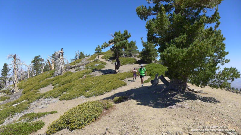


The summit of the Baden-Powell was not nearly as busy as I thought it might be. Just a few people were enjoying the great view from the summit. We took a short side trip down the south ridge to look at a lodgepole pine whose limbs and bark had been torn off in an ice storm during the Winter of 2010-11. In the same area was a stout limber pine that has a scar from a lightning strike. Later in the run we would pass another lightning tree near Mt. Hawkins.

The last several miles of the run were as relaxed and low key as the first few miles. Recovery continues among the ghost trees in the area burned in the 2002 Curve Fire, and the water and wildflowers at Little Jimmy Spring were as refreshing as ever!

Some related posts: Highs and Lows on the PCT, Inspiration Point to Islip Saddle Trail Run, PCT from Inspiration Point to Islip Saddle

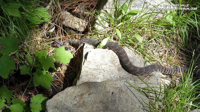
Southern Pacific Rattlesnake on the Burkhart Trail

Southern Pacific rattlesnake on the Burkhart Trail below Buckhorn at about 6200 feet in the San Gabriel Mountains

This southern Pacific rattlesnake was on the Burkhart Trail below Buckhorn at about 6200′ in the San Gabriel Mountains. We encountered the snake last Saturday while doing a loop from Three Points around Mt. Waterman. It’s the second rattlesnake I’ve seen while doing this loop. The other encounter was on the Three Points – Mt. Waterman trail in a grassy area on the south side of Mt. Waterman at about 7000′.

The highest elevation I recall seeing a southern Pacific rattlesnake was at about 7200′, near the summit of Suicide Rock, in the San Jacinto Mountains near Idyllwild. In Rattlesnakes: Their Habits, Life Histories, and Influence on Mankind, Volume 1 (Klauber, University of California Press, 1972) there are accounts of northern Pacific rattlesnake encounters at 11,000′ in the Sierra Nevada, and southern Pacific rattle encounters at 10,000′ and above in the Big Bear area and near the summit of San Jacinto Peak (10,843′).

My most unusual rattlesnake encounter to date was while kayaking the Forks of the Kern in the southern Sierra Nevada. I had just done the entrance move on the rapid Big Bean and had stopped in a small eddy on the left side of the river, just above the most difficult part of the rapid. My kayak was facing up river and was nearly against the bank. I was looking back over my left shoulder, mesmerized by the power of the water pouring over the big drop. Preparing to do the move, I was totally focused on the river, when suddenly — above the roar of the rapid — there was the startling buzz of a rattlesnake at my right ear. I turned to see a rattlesnake on the bank at shoulder level. Fortunately the snake just rattled and did not strike. Double-adrenalized, I peeled out from the eddy and paddled over the drop.

For more information see California Rattlesnakes (CaliforniaHerps.com).

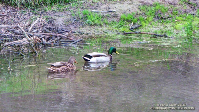
Mallards on Upper Las Virgenes Creek

Mallards on Upper Las Virgenes Creek

This rain season has been another dry one in Southern California with many areas recording about one-third to one-half of the normal amount of rainfall.

I have not seen upper Las Virgenes Creek actually flowing any time this rain season. All the creek crossings in Upper Las Virgenes Canyon north of the Cheeseboro connector have been dry to damp all Winter.

Water is pooled in places along the creek, and one of the larger pools is at the creek crossing south of the Cheeseboro connector. I had to laugh when I ran down the hill and saw this pair of Mallards enjoying the pool.

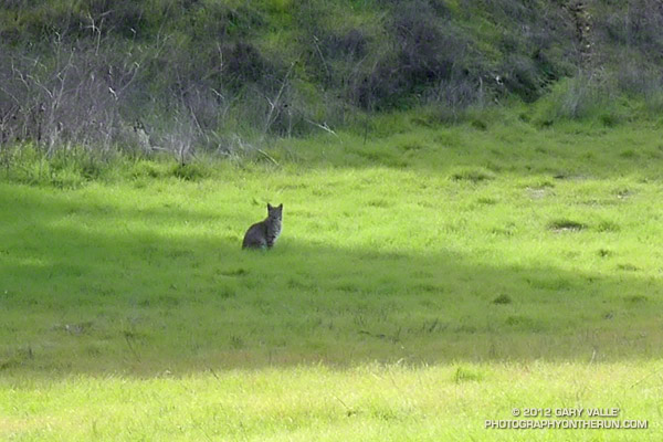
Reagan Ranch Bobcat

Bobcat at Reagan Ranch, Malibu Creek State Park

My rambling New Year’s run at Malibu Creek State Park had begun on the Cistern Trail. I thought I might run to the base of the Bulldog climb and then back on Crags Road to the main parking area. From there maybe I’d do the Phantom Trail loop or run over to Tapia Park and then back to the Lookout Trail.

The route really didn’t matter. It was a classic Southern California Winter afternoon — cool, but not cold, with a mix of clouds and sun. Grasslands were green with December’s rain, and the low sun cast a golden hue over the rocks, oaks and chaparral.

I was running west on the Yearling Trail on the Reagan Ranch property when I spotted a blocky form sitting in a shadow at the edge of a field. About 100 yards away, its profile was accentuated by a backdrop of bright green. Too small to be a mountain lion, too large to be a domestic cat, the wrong shape and behavior to be a coyote, it had to be a bobcat.

Bobcats can be very bold. Last year while warming up for a race at Crystal Cove State Park, I rounded a corner and 50 yards away a bobcat was sauntering down the road. I continued at an easy jog up the road and the bobcat continued walking down the road toward me.  I expected it to dart into the bushes, but it just kept walking toward me.

When we were about 20 feet apart, it casually stepped to the edge of the road, near some brush. I slowly approached and then stopped. The cat was five short feet away, with her back to me and head turned toward me. I was astonished to be so close, but a little unnerved by the animals brazen behavior. After what seemed like minutes, but was probably only 10-15 seconds, we both continued on our way.

The Reagan Ranch bobcat wasn’t nearly as cooperative. I snapped a couple of photos at max zoom (about 90mm) and then as I took a couple of steps in the cat’s direction it loped up the hill and into the oaks.

Some related posts:
Hawk, Bobcat and Rabbit
Coyote Tag