Category Archives: trails|smmc open space

No Snow in Sight!

View to the ocean from Eagle Rock in the Santa Monica Mountains

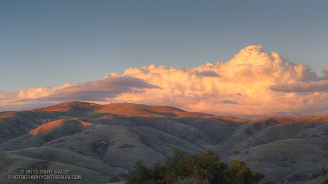
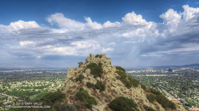
Well, actually you could see some snow on Mt. Baldy and the higher peaks of the San Gabriel Mountains, but that snow was 50 miles away. So far there had been a little frost in the shadows and mud in the low spots of the fire roads of Topanga State Park, but not a patch of snow in sight.

Lynn & Frank were heading back to the land of rain and snow for Christmas and there WAS snow on their local trails. More snow and bone-chilling temps were in the forecast, and a long snow-free run in the Santa Monica Mountains was a great way to celebrate the holidays!

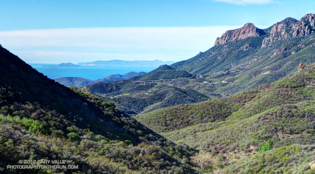
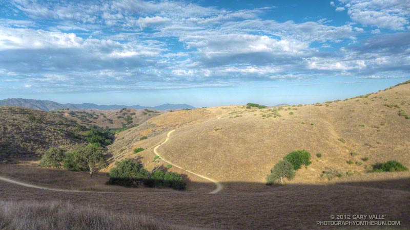
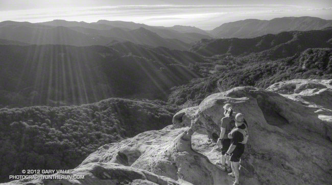
We had taken a detour from the Backbone Trail to the top of Eagle Rock. After enjoying the view we would extend the detour down the Musch Trail and pick up the Backbone Trail at Trippet Ranch. From Trippet we would follow the Backbone Trail down into Topanga Canyon, up Hondo Canyon, over to Saddle Peak and then down to Malibu Canyon.

With a couple of short side trips the distance from the End of Reseda (Marvin Braude Mulholland Gateway Park) worked out to about 21 miles. The distance and elevation gain were about the same as last Saturday’s run — also on the Backbone Trail.

Related post: July Fourth Trail Run to Trippet Ranch, Hondo Canyon and Saddle Peak

Twice the Rainy Days in Los Angeles, 60% of the Rain

Cumulus buildups north of Los Angeles

Sunday, running in the rain on Rocky Peak, it occurred to me that I’d done a lot of runs on rainy days this Fall.

When I got back from the run I checked the NWS web site and found that during the months of October, November and December there have been 17 days with measurable rain at Downtown Los Angeles. Normal for that period (to date) would be around 9 days.

The thing is, we’ve yet to have a day with a half-inch or more of rain Downtown, and we’re only at about 60% of normal rainfall for the water year.

At the moment it looks like another weak system passes through tomorrow afternoon and evening, followed by somewhat wetter systems Sunday night and Wednesday.

At times both the GFS and ECMWF have been forecasting a stronger system might impact Southern California near the end of the year. Today the GFS has it in our forecast and ECMWF doesn’t.  The culprit in the ECMWF forecast is a cutoff upper level low, so look for the forecast to change!

The photograph of the cumulus buildups (north of Los Angeles) is from a run at Ahmanson Ranch on December 13, following the passage of a cold front.

Mushrooms and Mud on the Backbone Trail

Santa Monica Mountains near Circle X

The temp was in the 40s and the chaparral wet with rain when we started the run. We were doing a two part trail run. The first part would be the 15 mile segment of the Backbone Trail from Kanan Rd. to the Mishe Mokwa trailhead on Yerba Buena Rd. The second would be the 6 mile Mishe Mokwa – Sandstone Peak loop.

The weak front that produced the overnight rain had marched on, and now skies were clear and it was a little breezy. As has been the case with many weather systems this year, there hadn’t been a lot of rain. Though muddy in spots, the Backbone Trail was in surprisingly good shape, and the running excellent.

In addition to the greening of the hills and the sprouting of many annuals, the frequent, light rains had also created perfect conditions for the growth of a  variety of mushrooms and other fungi. Fortunately I was running with a sharp-eyed mushroom collector from the PNW that could pick out partially buried earth stars and other mushrooms among the leaves, twigs and other debris in the deep shade along the trail.

Here are three of the more peculiar fungi. Click the image for more info and a larger image.


Orange Jelly


Comb Tooth


Earth Star

Some related posts: Circle X Crags and the Channel Islands, Mishe Mokwa – Sandstone Peak – Grotto Trail Run

Las Virgenes – Cheeseboro – Palo Comado Loop

Las Virgenes Canyon sunrise

The trail was exposed and sweat was dripping from the brim of my cap like a faucet with a worn out washer. Expecting a warm day I had started my run early — before sunrise — but that had not been early enough. It was 8:30 am and the temperature was already over 90°F. It was not only hot, it was humid. Monsoon clouds were scattered across the sky, but somehow the sun was dodging all of them. It was disturbingly familiar.

Even if the weather wasn’t perfect, the run was a good one. I was doing a loop from the Las Virgenes Trailhead of Upper Las Virgenes Canyon Open Space Preserve. There are two trails here — the main trail which follows Las Virgenes Creek north up the canyon, and a power line service road (about 50 yards south of the first) that climbs out of Las Virgenes Canyon and leads west to the Cheeseboro Ridge Trail.


I had taken the power line service road, and worked west over to the Cheeseboro Canyon trailhead, then up the Modelo Trail and over to Palo Comado Canyon. Now I was a couple of miles up-canyon on an unmaintained, but well-used, single track trail that links the Palo Comado fire road with the Sheep Corral Trail. Once on the Sheep Corral Trail I could follow it east past Shepherds’ Flat all the way back to Las Virgenes Canyon.

There would be some relief from the heat once I reached Las Virgenes Canyon, but this was really a run better done on a cool day. On the calendar Autumn was just days away. Southern California or not, eventually the weather would cool. The development of a weak to moderate El Nino had stalled, but nearly all forecasts indicated further development was imminent. Maybe a little rain wasn’t too many weeks away.

With an elevation gain of only 1800′ over 14 miles this route includes long stretches of faster-paced trail — both single track and dirt road — but there are some good hills as well. Many variations are possible. This Park Service PDF shows the trails in the area.

Some related posts: Upper Las Virgenes Canyon – Cheeseboro Ridge Loop, Owl Feather on the Modelo Trail, Las Virgenes Creek Near the Sheep Corral Trail