After the Station Fire: Phacelia Near Three Points

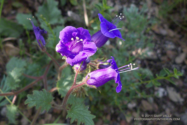
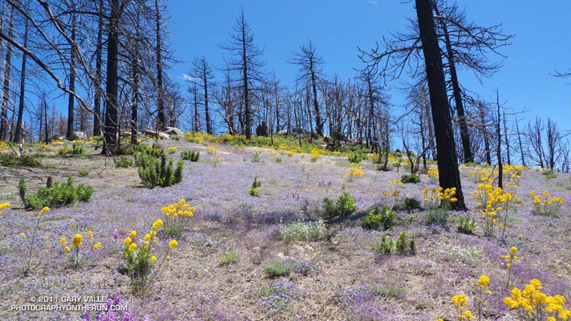
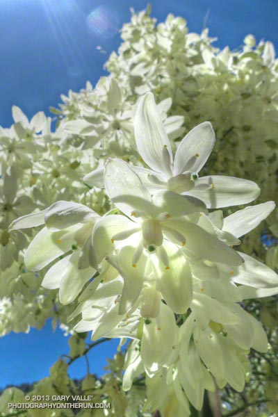
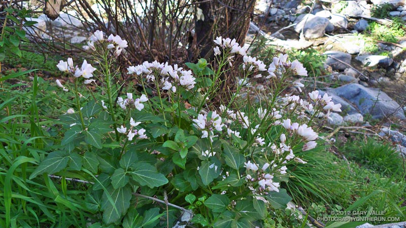
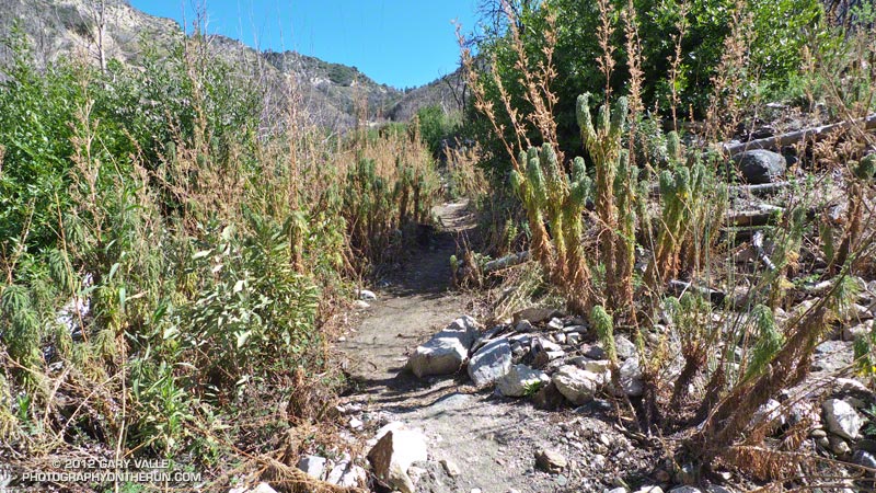
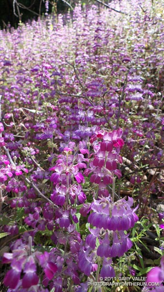
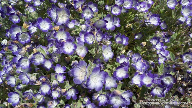
Various species of Phacelia are fire-followers and have bloomed in profusion in areas burned by the Station Fire. These are Davidson’s Phacelia (Phacelia davidsonii) along the Three Points – Mt. Waterman Trail about a mile from Three Points.


Like Turricula (Poodle-dog bush)*, many species of Phacelia can cause a contact dermatitis similar to poison oak. Generally, any Phacelia should be considered suspect, and especially those that are fuzzy and sticky.

One Phacelia that has been shown to elicit a reaction is California bluebell (Phacelia minor) — a relatively common wildflower in the middle to lower elevation areas burned by the Station Fire. In one study, it was found that the amount of two active compounds in Phacelia minor required to produce a qualified reaction was 6.3 µg and 3.8 µg; compared to 170 µg for Turricula and 1.6 µg for a component of urushiol from poison ivy.

*The taxonomic name for Turricula parryi (Poodle-dog bush) has changed to Eriodictyon parryi. The Jepson Manual: Vascular Plants of California, Second Edition (2012) has returned Turricula to the genus Eriodictyon, as originally described by Gray. According to the Wikipedia entry for Turricula (April 11, 2012), “… molecular phylogenetic analysis carried out by Ferguson (1998) confirms that Turricula should be treated as a separate genus within a clade (Ferguson does not use the term “subfamily”) that includes Eriodictyon, and also the genera Nama and Wigandia; Eriodictyon is the genus to which Turricula is closest in molecular terms, and is its sister taxon.” I use “Turricula” and “Poodle-dog bush” interchangeably as a common name.

Related post: After the Station Fire: Contact Dermatitis from Turricula parryi – Poodle-dog Bush

After the Station Fire: Three Points – Mt. Waterman Loop

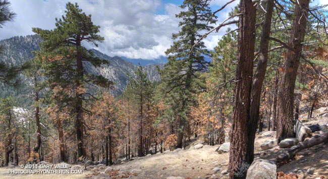
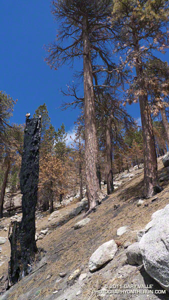
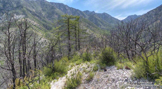
Scorched Jeffrey Pines on the South Side of Waterman Mountain

Scorched Jeffrey Pines on the South Side of Waterman Mountain

It was very odd to run up the Mt. Waterman Trail on the Sunday of a 3-day Memorial Day weekend, and see no one. And hear nothing, except the wind in the trees, the distant call of a jay, and the periodic drone of a contractor’s truck working on the highway. That’s because — surprise, surprise — Angeles Crest Highway was closed a little east of Three Points and on to Islip Saddle. CalTrans Road Conditions had only listed the Winter closure from Islip Saddle to Vincent Gap. Based on the number of cars parked at the closure, not many people knew about it.


I hadn’t known about it until I saw the Ranger’s truck and closed gate from the Pacific Crest Trail. I was doing a loop from Three Points up the PCT to the Burkhart Trail, then up to Buckhorn, over Mt. Waterman, and back down to Three Points. Part of this loop — from Mt. Waterman to Three Points on Trail 10W04 — had just reopened, and like last weekend I wanted to see how recovery from the 2009 Station Fire was progressing.


The conditions were much better on this loop, than last week’s. Although within the initial Station Fire Closure area, and closed for eight months, 11 of the first 13.5 miles of the loop were not burned in the Station Fire. This mostly unburned stretch opened in late May 2010 and is described in the post Three Points to Waterman Mountain, the Long Way.


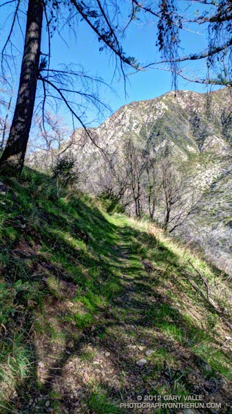
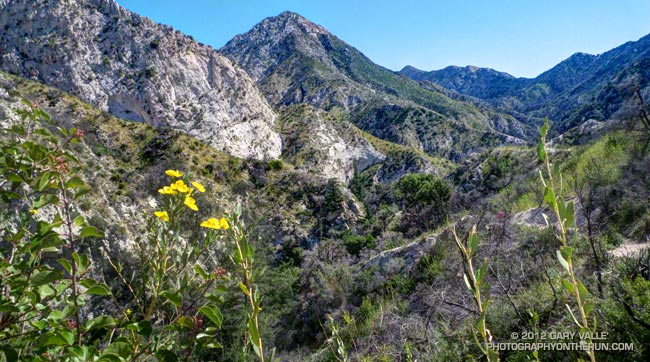
The remaining six miles of the loop, which winds in and out of the shallow canyons on the south side of Mt. Waterman, was in the burn area. Conditions along the trail appeared to generally correspond to BAER burn severity maps and images. At the higher elevations, fingers of the fire had run up the steep slopes, burning understory and scattered Jeffrey pines and incense cedars, while leaving other areas untouched.


At lower elevation, particularly in the chaparral and pine at the head of the north branch of Devils Canyon, the fire effects were more severe. The chaparral is recovering, but numerous Coulter and Jeffrey pines appeared to have been killed, and their replacement will be a slower process. This area is traversed by the last two miles of Trail 10W04, leading to Three Points.

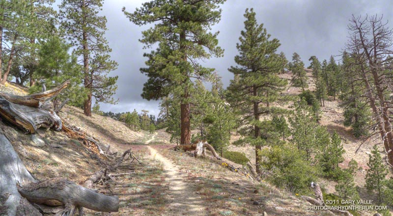
There was very little, if any, damage from runoff and the trail was generally in good shape. The trail was slightly overgrown in spots, particularly at lower elevation, but was nothing like the Gabrielino Trail between Switzer and Red Box. There was some Turricula (Poodle-dog bush) at lower elevation, but for the most part it was fairly easy to avoid. Some pine needle covered sections of trail were indistinct, but it was like that before the fire.


From a trail running perspective, it is still a very “runnable” course with varied terrain and much to see and enjoy. Cooper Canyon Falls is very short side trip from the PCT’s junction with the Burkhart Trail. The side trip to the summit of Mt. Waterman (8038′) adds about two miles to the loop.

Some related posts: Three Points – Mt. Waterman Loop, Three Points Loop Plus Mt. Waterman

After the Station Fire: Red Box – Bear Canyon – Gabrielino Loop

Recovering chaparral and bigcone Douglas-fir in Bear Canyon 19 months after the Station Fire

Recovering Chaparral and Bigcone Douglas-fir in Bear Canyon

Most Southern Californians have direct experience with wildfire and its effects. Wildfires are often described as being a “natural part of the ecosystem,” but in Southern California wildfire is anything but natural. Urbanization, land management policies and firefighting practices shape fire frequency, behavior, intensity and effects — often with unexpected and tragic consequences.
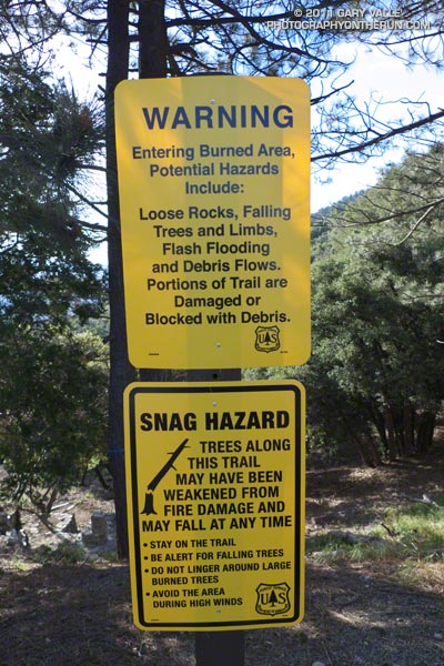


According to InciWeb, the Station Fire started on Wednesday August 26th, 2009 at approximately 03:30 p.m. and was fully contained at 7:00 p.m. on Friday, October 16, 2009. Two firefighters were killed in the arson caused blaze, numerous homes and structures were lost, and 160,577 acres burned. The fire was the largest recorded in Angeles National Forest since it was established in 1892 and the 10th largest fire in California since 1933.

In January 2011 the Station Fire Closure was updated and extended to January 2012. At that point, it looked like it might be a long time before any substantial part of the closure area would be opened to the public. But with increasing public pressure to open more of the Forest, Angeles National Forest reopened about half of the Station Fire Closure area earlier this week. Today I did a run/hike in the newly opened area to see first-hand how recovery from the fire, and subsequent debris flows and flash floods, is progressing 19 months after the fire was contained.

The first areas I wanted to check were Bear Canyon, and upper Arroyo Seco from Switzer Falls to Red Box. I’d done loops through these areas in April 2009, a few months before the Station Fire, as well as in March 2007 and November 2005. Because Mueller Tunnel was closed, I couldn’t do the same loop as in 2009, but I could bypass the tunnel using the Mt. Disappointment Trail, and then drop down into Bear Canyon from the Mt. Lowe Truck Trail. From there the loop could be completed by following the Gabrielino Trail from near Switzer Falls, back to Red Box. After checking with the Forest Service that all of the trails were open, the loop was a go!


I’d done all the sections of the loop on previous runs, and was familiar with the trails and terrain. My intent was to follow the routes of pre-existing trails as closely as possible. Just in case, I took a paper map; and as a backup and source of extra info, I loaded my GPS with the track points of the trails. It turned out the GPS did help a couple of times to follow missing or overgrown sections of trail, but there was also more than one instance when blindly following the GPS would have led me in the wrong direction.
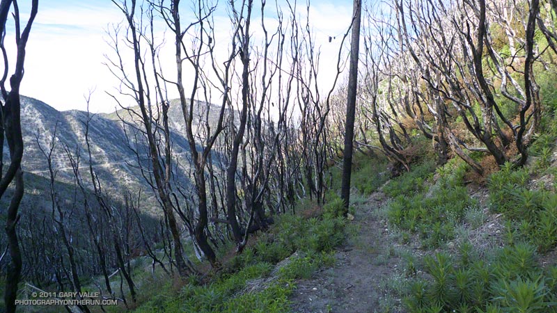


At around 7:30 I left an empty Red Box parking lot and started running up the Mt. Wilson road. About 0.4 mile up the road I turned onto the San Gabriel Peak/Mt. Disappointment Trail and began working up toward the saddle between the two peaks. Nearly all of the trail to the saddle was unburned. The robust mix of chaparral and forest towered overhead, and a few minutes later I felt some anguish as I crossed the saddle and entered the burn area.

There was a little more debris than normal on the rocky stretch of the Mt. Disappointment Trail that crosses the west face of San Gabriel Peak, but the trail was mostly runnable, and it didn’t take long to get down to the Mt. Lowe Truck Trail fire road. At Markham Saddle a DANGER sign marked the closure of the road to Mueller Tunnel.
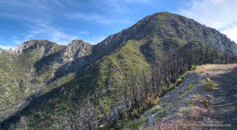


Turning in the opposite direction, I started running down the fire road, and after a short distance, stopped to take photos of the Bear Creek drainage. It looked to be in pretty good condition, considering. The side canyons didn’t have the runnels and debris flows I’d seen in upper Arroyo Seco on the drive up Hwy 2. I’d be getting a closer look at those channels later in the run.
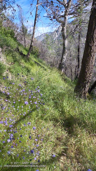


At the hairpin turn west of Mt. Lowe I left the fire road and picked up the trail that leads down the ridge to Tom Sloan Saddle. It had taken about an hour and a quarter to get to this point, and I suppressed an overly optimistic thought that I might reach Red Box by noon or so.

As would be expected with little or no use, two seasons of growth, and a wet winter, sections of the trail were really overgrown. The upper part of the Bear Canyon Trail was also significantly overgrown, and in a couple of places difficult to follow. It helped that animals had used the trail, though their path through the grass was indistinct. Trails are valuable resources that can be lost through prolonged closure and disuse.
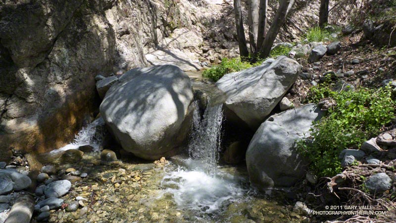


Once down to Bear Creek, the character of the canyon was much the same as before the fire. Bear Canyon is one of the more wild and isolated places in the San Gabriel Mountains that can be accessed by trail. Not far beyond the old cabin site, I paused by the creek and absorbed the sounds, smells and scenery of this special place.


The creek was incised in places, and there was other evidence of moderately high flows in the two years since I had been there. Very little remained of the use trail. The remnants of the old Tom Sloan trail are still there, but these are few and far between. There were more fallen trees, and a ton of poison oak. It was time consuming to try and dance around the poison oak, and about halfway through the canyon I gave up trying. Bear Camp appeared to be unscathed, and looked much like it did in 2009.
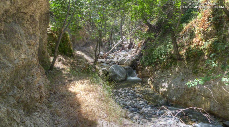


It took twice as long to work through Bear Canyon as in 2009, and I was happy to get to Bear Creek’s confluence with Arroyo Seco. Except for a couple of fallen trees, it was straightforward getting back to the Gabrielino Trail and to the Switzer Picnic Area. The bridge at the picnic area was littered with flood debris. The high water likely occurred during our record-setting December 2010 rain event.

It was a close call, but no doubt due to the efforts of firefighters, Switzer Picnic Area appeared to have survived almost unscathed. The Forest Service has made a number of improvements to the facilities. According to a Forest Service press release, the picnic area will remain closed until sometime in June, while construction is completed.
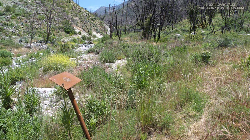


The first two miles of the Gabrielino Trail above Switzer really took it on the chin. The fire effects there were very pronounced, and of all the trails in the loop, that segment was the most severely affected. Flash flooding and debris flows have swept the canyon, obliterating sections of trail. The rest is very overgrown. Virtually every tributary canyon is now incised with debris flow runnels, up to several feet deep.
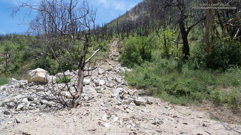


Once away from the canyon bottom and on the old road bed the trail was still overgrown, but was generally in better shape and easier to follow. The last mile to Red Box was nearly in the same condition as before the fire, and the last half-mile (where some trailwork had been done) even better!

In the last decade I’ve followed the recovery and studied aspects of several fires including the 2002 McNally Fire, 2002 Curve Fire, 2003 Simi Fire, 2005 Topanga Fire, 2006 Day Fire, 2007 Corral Fire and 2008 Sesnon Fire.  Even after having observed it many times, I continue to be amazed at the resilience of fire-adapted ecosystems. As long as the fire recurrence interval isn’t too short, nature seems to do a pretty good job of recovery.

Related post: Contact Dermatitis from Turricula parryi – Poodle-dog Bush
Gabrielino Green

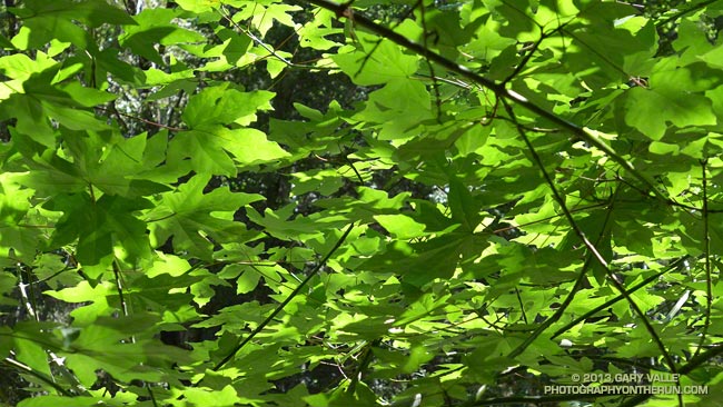
Big leaf maple leaves along the Gabrielino Trail

A soothing panoply of big leaf maple leaves along the Gabrielino Trail between Devore Camp and West Fork.

From last weekend’s Mt. Wilson – Devore Camp – West Fork trail run.

Some related posts: Mill Creek Canyon Maple Leaves, Maple Leaves Along the Ritchey Canyon Trail, Big Leaf Maple Leaves

Chaparral Yucca Along the Kenyon Devore Trail

Chaparral Yucca Along the Kenyon Devore Trail

Chaparral yuuca (Hesperoyucca whipplei) at about 4700′ on the Kenyon Devore Trail below Mt. Wilson. The plant was classified as Yucca whipplei for many decades.

From last weekend’s Mt. Wilson – Devore Camp – West Fork loop.

After the Station Fire: Red Box – Bear Canyon – Gabrielino Loop Revisited

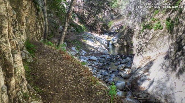
Arroyo Seco downstream of Switzer Falls

Arroyo Seco Downstream of Switzer Falls

By the calendar Spring was still a couple weeks away, but temps near 80 were forecast for the lower elevations of the San Gabriel Mountains and the weather looked ideal for revisiting the Red Box – Bear Canyon – Gabrielino loop in Angeles National Forest. I did this loop last May when the area re-opened following the Station Fire and was curious to see how recovery was progressing, and how much trail use and maintenance had improved the trails.

The difference in 10 months was remarkable. Recovery of the burned areas continues at a steady pace, and trail conditions on much of the loop are not all that different than before the Station Fire. Following are some notes about each segment of the loop.


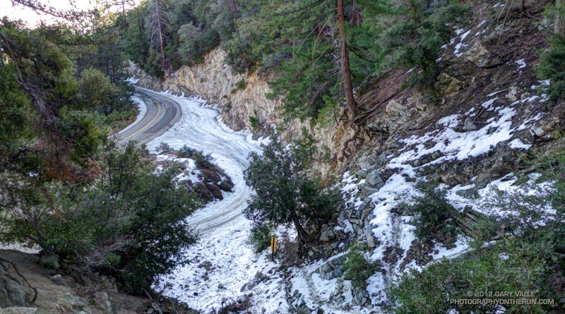
San Gabriel Peak Trail to Mt. Disappointment Road: This trail segment was not burned in the Station Fire and is in good shape. The weather had been much colder earlier in the week and there was still some snow on the trail from a mid-week storm.


San Gabriel Peak Trail from Mt. Disappointment Road to Mt. Lowe Truck Trail fire road: Thanks to work done by the JPL Trailbuilders this segment was in decent shape last year, and was in even better shape today. It’s rough and rocky in places, and there’s still some Turricula along the trail, but it was very runnable and not unlike it was before the fire. There are excellent views of Mt. Markham, Mt. Lowe, upper Bear Canyon and the rugged terrain along Mt. Lowe Truck Trail fire road.


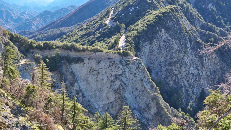
Mt. Lowe Truck Trail fire road to Upper Bear Canyon Trail: Other than some rock fall here and there, there were no particular issues from a trail running point of view. There are good views of San Gabriel Peak, Mt. Disappointment and Bear Canyon.

Upper Bear Canyon Trail from Mt Lowe fire road to Tom Sloan Saddle*: Excellent condition thanks to recent trail work by the Outdoor Club.

Bear Canyon Trail from Tom Sloan Saddle to cabin site: Use of the trail and low Winter precipitation have improved conditions on this trail segment, but some problem sections remain. A short detour off the trail was necessary about a half-mile from Tom Sloan Saddle.


Cabin site to Bear Canyon Camp: Increased use made it easier to follow the use trail and work down the canyon. The collapse of this unburned oak may not have been related to the fire. Bear Canyon Camp is about halfway through the canyon, above the creek on a bench on the left (when descending). The camp is in great shape, and from its shaded sites it would be hard to tell a fire had ravaged the area. At the edge of the camp is an old Forest Service sign, placed by someone with a sardonic wit.


Bear Canyon Camp to confluence with Arroyo Seco: This segment has seen much more use — as I descended the canyon I encountered four groups and two solo hikers working up the canyon. There were a number of ribbons and ducks marking the way and the use trail is becoming better defined. Although some nice sections of the old trail remain, most of the trail in Bear Canyon was washed out well before the Station Fire. As noted by John Robinson in Trails of the Angeles, “…the old Tom Sloan Trail that once traveled the length of the canyon is in poor shape and you must scramble and boulder-hop much of the way.” This is part of the Bear Canyon experience and hopefully the path won’t become so well-marked that all you have to do is blindly follow the markers.


Arroyo Seco to Gabrielino Trail and Switzer Picnic Area: Very well-used. Its condition is similar to what it was before the Station Fire. I was surprised to see two people on mountain bikes descending the steep section of trail that leads to the Arroyo Seco below Switzer Falls, and then downstream Bear Canyon junction and Royal Gorge. I wondered if they had missed the fork onto the Gabrielino Trail. If they were the mountain bikers that were later rescued at the Paul Little debris dam, and didn’t backtrack to the Gabrielino Trail, they would have had a nightmare of a hike-a-bike through trailless Royal Gorge.


Gabrielino Trail from Switzer Picnic Area to Red Box: Last year the condition of this trail segment was the worst of any trail on the loop. It was washed out in several places. There were downed trees. Some sections were so overgrown it was difficult to follow the trail. In several places I had to literally wade through chest high Turricula. Not so this year. Thanks to the efforts of CORBA and MWBA this trail has nearly been restored to the condition it was in prior to the Station Fire. Other than dealing with the uphills I had no problem running the trail. There’s still a lot of Turricula along the trail, but it is mostly avoidable.

Last year on this loop there was no avoiding the Turricula and I paid the price, its sticky resin coating my arms and legs and resulting in a rash and inflammation. This year I only contracted a couple of small spots of poison oak. This post has more info about Turricula.

There is a long list of volunteer groups that have been working to restore the trails in the Station Fire burn area. Most of the trails in the open areas of the Forest burned in the Station Fire are in fair to good condition, or at least in the same shape they were in before the Station Fire. Some are in better shape than before the fire.

The Forest can be a hazardous place, but there were washouts, rock slides, downed trees, overgrown trails, lost hikers and other incidents BEFORE the Station Fire. Just because an incident occurs in the area burned by the Station Fire doesn’t mean it’s the result of the fire.

Related posts: After the Station Fire: Red Box – Bear Canyon – Gabrielino Loop, After the Station Fire: Ten Miles – Four Peaks

*Tom Sloan appears to be correct spelling, rather than Tom Sloane as printed on some USGS maps. In Trails of the Angeles John Robinson mentions that Tom Sloan Saddle is named after a former district ranger. There’s a quotation from the Arcadia Tribune (1918) on the Forest Lookouts page for Los Angeles County regarding Arcadia Station that refers to “Thomas W. Sloan, chief ranger in the United States Forest Service in this district…”