Category Archives: trails

A Bear on Rocky Peak Road?

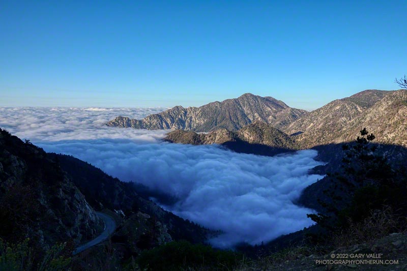
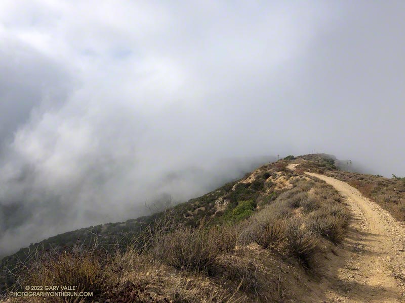
Low clouds spilling over Rocky Peak Road near the Chumash Trail.

Wait a minute… I stopped running down the hill and walked back to look at the sizable pile of scat.

I was on Rocky Peak Road, at about mile 3 of an extended version of the Chumash – Las Llajas loop, and just past the top of the Chumash Trail.
Bear scat on Rocky Peak Road. October 2022.
Bear scat on Rocky Peak Road. Click for a larger image.

No doubt about it. It was bear scat. The bear had been eating holly-leaved cherries, and the scat was full of cherry pits. Over several decades of running Rocky Peak Road, this was the first time I’d seen evidence of a bear in the area.

Bears aren’t particularly common here, but they are seen from time to time. I wondered if this was the bear that had been discovered in the kitchen of a Simi Valley home in early September.

Bears have also been captured on local trail cams. In December 2015, the NPS photographed a bear and her cub feeding on the carcass of deer in the Santa Susana Mountains. Even more remarkable, in July 2016, a bear was photographed in Malibu Creek State Park by an NPS camera trap.

This morning, I looked for bear tracks around the scat, but thunderstorms and bike traffic had erased them. After taking a couple of photos, I continued toward the high point of the loop, “Fossil Point.”
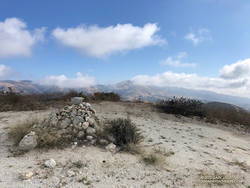
Cairn at Fossil Point, the highest point of the Chumash - Las Llajas Loop.
Cairn at “Fossil Point” — the highest point of the Chumash – Las Llajas Loop.

What had started as a very foggy morning was transitioning to a cool Fall day with a mix of sun and clouds. From the cairn at Fossil Point, Oat Mountain was still partially shrouded by clouds. Below the overlook, I spotted a couple of mountain bikers working up the road. The ride up Las Llajas Canyon has become a popular e-mountainbike ride, and e-bikes would be the only type of bike I would see on my way down the canyon.

The run down Las Llajas Canyon was pleasant and fast-paced. Lately, I’ve been doing a variation of the loop that jumps over to the Marr Ranch Trail using a trail that splits off the Coquina Mine trail. This route gets you up and out of the canyon and onto a ridge with good views of the surrounding terrain. It’s a bit more adventurous and adds a little mileage and elevation gain to the usual loop. The Coquina Mine trail is easy to miss — it branches off Las Llajas Road after passing the towering cliffs.

Here’s an interactive, 3D terrain view of a GPS track of the extended Chumash – Las Llajas loop. The map can be zoomed, tilted, rotated, and panned using the navigation control on the right. Track and placename locations are approximate and subject to errors. Poor weather and other conditions may make this route unsuitable for this activity.

Some related posts: Chumash-Las Llajas Loop, Not So Flat Las Llajas Canyon, Exploring Las Llajas, Marr Ranch Wildflowers

What’s the Shortest Route From South Fork to San Gorgonio’s Summit?

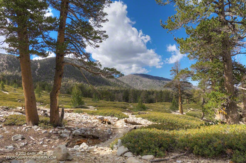
Spectacular afternoon on the Dry Lake Trail while running/hiking the Dollar Lake - Dry Lake keyhole loop on San Gorgonio Mountain.
Spectacular afternoon on the Dry Lake Trail.

I wondered what the hikers would think when they reached this part of the Dollar Lake Trail.

A few minutes before, we had all reached the junction of the Dollar Lake and Dry Lake Trails at the same time. They hadn’t done the peak before and were debating which trail to take. When I mentioned that the Dollar Lake Trail is the shorter route to the summit, that’s the route they chose.

I guessed there might be a few choice words directed my way. About a half-mile beyond the junction, there is a long switchback on the Dollar Lake Trail that seems to never end. It’s about twice as long as any switchback on the Dry Lake Trail or Sky High Trail. With the mountain at your back, it takes the disbelieving hiker farther and farther away from their goal. How could it possibly be the shortest way to the summit?

But it is. The Dollar Lake Trail route is shorter — by about two miles. Following are the estimated mileages from the South Fork Trailhead to Gorgonio’s summit via the Dollar Lake and Dry Lake routes*:

SGWA handout – Dollar: 9.4  Dry: 11.3  Difference: 1.9

My GPS tracks – Dollar: 9.8  Dry: 11.5  Difference: 1.7

Tom Harrison Maps – Dollar: 10.0  Dry: 12.0  Difference: 2.0

*The Dollar Lake route uses the South Fork, Dollar Lake, Divide, and Summit Trails. The Dry Lake route uses the South Fork, Dry Lake, Sky High, and Summit Trails.

The combined route — Dollar up and Dry down — is one of the best mountain trail runs in Southern California. It’s a favorite, and the route I was doing today.

This morning the sky was mostly clear, and the temperature was mild. Later in the day, there was a chance of a thunderstorm, but I expected to be off the exposed trails higher on the mountain well before thunderstorms had a chance to build.

The first cumulus clouds popped up over the mountain around 10:00 a.m. An hour later — as I was crossing the summit plateau — the clouds were more extensive but with little vertical development.

Defaced survey marker on the summit of San Gorgonio Mountain.

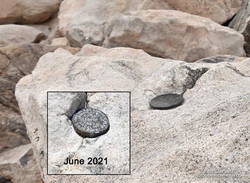
There were only a few people in the summit area. Some were on the west summit and some on the east. The twin summits are about 80 feet apart and nearly at the same elevation. Oddly, someone has defaced the survey marker on the west peak since the last time I was there — June 2021. With clouds all around, and 12 miles to go, I snapped a few photos and headed down.

I only saw one group of hikers on the Sky High Trail. They were working up the switchbacks at a good clip and would probably make the summit in an hour or so. Hopefully, the weather would hold for them!

It wasn’t until I was between the C-47 memorial and Mineshaft Saddle that I heard the first rumbles of thunder somewhere in the distance to the east or northeast.

As I continued down the mountain, I occasionally heard thunder in the distance but nothing nearby. There were some sizable cells to the east, but the weather behaved itself. At least where I was. I later heard it dumped at Onyx Summit, and flash flooding was reported at Joshua Tree.

For me, the weather was nearly ideal. Mild temperatures, light winds, and picturesque, sun-shielding clouds. It was short sleeves and shorts up and down. But on another day, it might not have worked out that way.

Here are a few photos taken along the way, and an interactive, 3D terrain view of the Dollar Lake – Dry Lake Loop.

Some related posts: San Gorgonio Mountain – June 2021; San Gorgonio Mountain Snow, Avalanches and Glaciers; San Gorgonio High Line

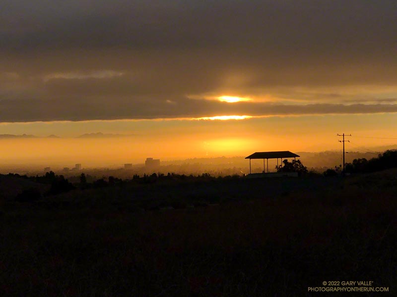
Sunrise Over the San Fernando Valley From Lasky Mesa

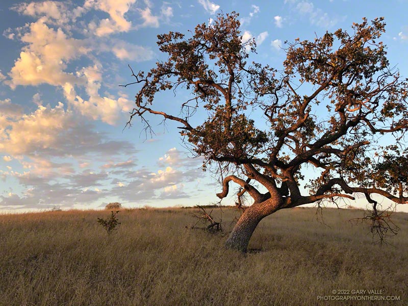
Sunrise Over the San Fernando Valley From Lasky Mesa

The clouds were associated with a front that stalled to the north of Los Angeles, resulting in some surprising and substantial rainfall totals in Santa Barbara and San Luis Obispo Counties. No measurable rain was reported in Los Angeles County by the NWS.

From an early morning run at Ahmanson Ranch (Upper Las Virgenes Canyon Open Space Preserve) on September 20th.

Related post: Monsoon Clouds and Valley Oak at Sunrise on Lasky Mesa

A Cool and Breezy Out and Back Trail Run from Islip Saddle to Mt. Baden-Powell

Twin Peaks from the PCT near Islip Saddle

After weeks of dealing with one heatwave after another it was a strange sensation. I was cold. I had on an extra shirt and sleeves, but the slopes of Mt. Islip were deep in shadow and the wind was gusting to 20 mph. The thermometer on my pack read 41 degrees, but the “feels like” temperature had to be in the 30s.

I was in the first mile of an out and back trail run from Islip Saddle to Mt. Baden-Powell. A San Gabriels classic, the route gains (and loses) about 3800′ over 16.5 miles on the PCT.

This morning I was doing the basic out and back, but Mt. Hawkins, Throop Peak and Mt. Burnham are easy peaks that can done along the way. Mt Islip is is a bit more of a detour, but can also be added to the route.

Mt. Baldy and environs from the PCT, between Mt. Hawkins and Throop Peak.

It’s also possible to start the out and back at the Windy Gap Trailhead (5836′) in the Crystal Lake Recreation Area. The distance to Baden-Powell is about the same, but the lower trailhead adds about 800′ of gain.

As I chugged up one of the initial steep sections, I thought about what it must have been like for this year’s participants in the AC100. This year, because the AC100 was an out and back from Wrightwood to Shortcut Saddle, runners got to do this tough segment after running more than 75 miles!

Here is an interactive, 3D terrain view of the out and back from Islip Saddle to Mt. Baden-Powell. The map can be zoomed, tilted, rotated, and panned using the navigation control on the right. Track and placename locations are approximate and subject to errors. Poor weather, and other conditions may make this route unsuitable for this activity.

Some related posts: Islip Saddle – Mt. Baden-Powell Out & Back, Mid January Trail Run from Islip Saddle to Mt. Baden-Powell, Savoring the Snow Between Islip Saddle and Mt. Baden-Powell, Little Jimmy Spring Incense CedarSan Gabriels High Five

Twin Peaks East, Plus Mt. Waterman

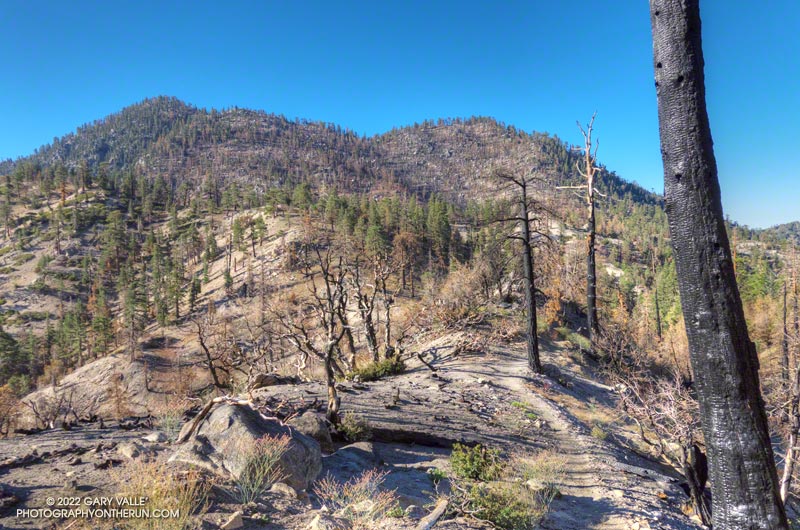
Twin Peaks from low on the Twin Peaks Trail, following the Bobcat Fire

Seeing Twin Peaks while doing the Three Points Loop a couple of weeks ago reminded me that I hadn’t done Twin Peaks in quite a while. The last time had been in 2012, when I did a spur of the moment exploration down the southeast ridge of Twin Peaks, toward Triplet Rocks.

As long as I was in the neighborhood, I also wanted to do the short side trip to Mt. Waterman’s summit and see how it fared in the Bobcat Fire. (I’d skipped that side trip on the most recent Three Points Loop run.)

My general impression of Bobcat Fire impacts in the Mt. Waterman – Twin Peaks area is of varying severity. In some areas nearly all the trees were killed, while in other the trees are virtually untouched. Perhaps the most common scenario is a mix of burned, partially burned, and unburned trees.

Here is an interactive, 3D terrain version of the Bobcat Fire Soil Burn Severity Map that is zoomed in on Mt. Waterman – Twin Peaks area. The map can be zoomed, tilted, rotated, and panned. To change the view, use the control on the upper right side of the screen.

Overall, I was surprised to find that there were so few fallen trees on the Twin Peaks Trail. I think I had to step over one log, go around another, and a couple others had been cleared from the trail. The most serious obstacle was some Poodle-dog bush completely blocking the trail. Poodle-dog bush causes dermatitis in many people.

There was little damage from the heavy December storms. The elevation ranges from about 6540′ at the low point of the Twin Peaks Trail, up to 7761′ on Twin Peaks East, so much of the precipitation must have fallen as snow.

A couple of trees were burned on the perimeter of Twin Peaks East’s flat summit, but the tops of both Twin Peaks East and Mt. Waterman were pleasant places to be.

Here are a few photos taken along the way.

Some related posts: Three Points Loop Around Mt. Waterman, Toward Triplet Rocks, Twin Peaks Trail Run