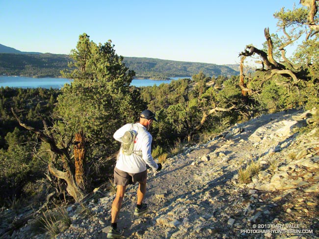
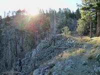
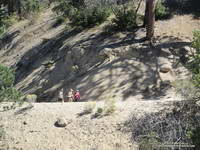
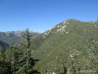
50 Mile Runner on the PCT Near Cougar Crest Junction
If you’ve driven to Big Bear on Highway 18, you’ve driven the dramatic, twisting, turning, mountain road that seems to be perched on the rim of the world. Whenever I’ve driven that highway I’ve always peered into the chasm it traverses with more than a little awe, some trepidation, and a lot of curiosity.
A little earlier this afternoon, following a path of pink markers, I’d run across the Rim of the World Highway, clambered up to the edge of the world, and plunged into that chasm.
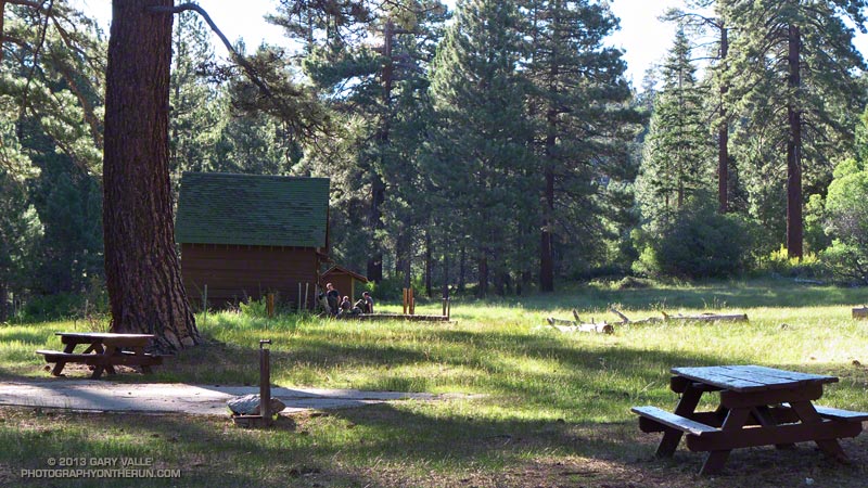
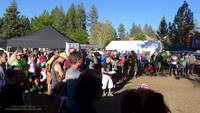
I was at about mile 31 of the Kodiak 50 mile ultramarathon. We’d started our run at 6:00 am at Holcomb Valley Campground — the halfway point of the 100 mile run. The 100 milers had started their counterclockwise circuit of Big Bear Lake at The Village at 6:00 pm the previous evening and run through a cold night.
As I descended the steep, rocky trail deep into the canyon cut by Bear Creek a disconnected sequence of thoughts flew through my mind
“Wow, it’s a long way down…”
“Can’t I run any faster?”
“Is there really going to be a water station at the bottom of this canyon?”
“Prime real estate for rattlesnakes…”
“Those BBQ ribs were pretty good…”
“Wow, we have to go up there???”
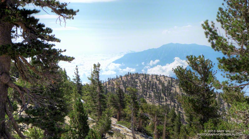
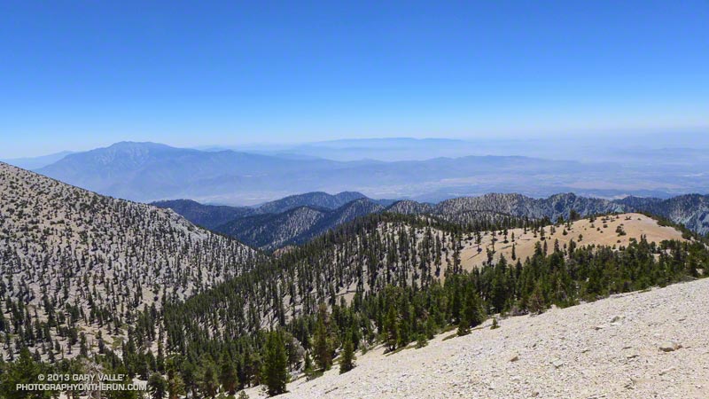
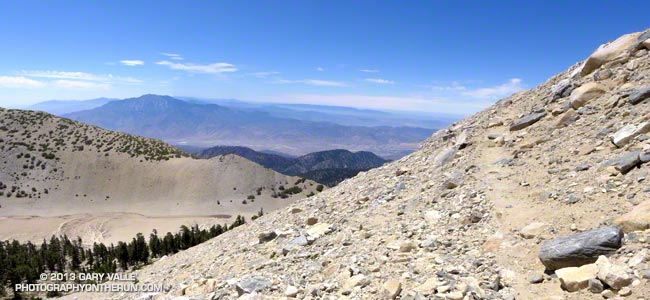
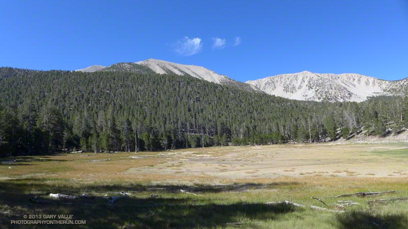
High on the ridge to my right I could see the lift towers of Snow Valley and to my left across the canyon was the 3000′ escarpment leading up to the rim of Big Bear. Somewhere up there was one of the largest lodgepole pines in the U.S. and near that the aid station at the top of the Siberia Creek climb.
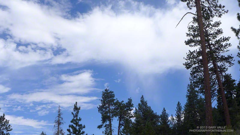
Although no rain or snow was in the forecast for Big Bear, the weather was still a concern. The first significant weather system of the season was forecast to bring a few inches of snow to the Sierra and stir up cooler and windy weather in the Southern California mountains. The forecast for today (Saturday) had mentioned south to southwest winds gusting to 40 mph “near ridge tops” and “lows 33 to 43” tonight.
So far today the weather had been good; a little breezy in spots, but short-sleeve and shorts weather after the sun had risen and melted away the morning chill. Overnight temps at Big Bear Airport had been near freezing, and I wondered how cold it had been for the 100 milers on 9952′ Sugarloaf Mountain.
Where were the 100 milers? I had seen a couple of the rare beasts leaving the aid station as we parked at the campground for the start of the 50 mile, but that had been it. Aid station volunteers were saying only 4 or 5 100 milers had passed through ahead of us.
Running cohort Ann Ongena, taking advantage of all the miles of high altitude running she did at TransRockies, had picked Kodiak as her first 100. We had talked a lot about the course and the weather and I knew she was well-prepared. Because of the uncertainties of an inaugural event — particularly one of this length and complexity — we both had taken more of a self-supported adventure approach, not taking the mileages as gospel, studying the course, and putting more of what we needed in our packs and drop bags.
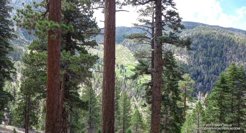
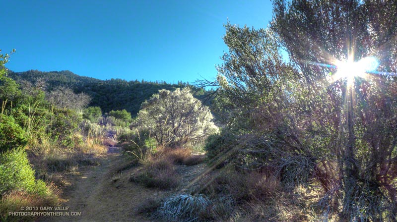
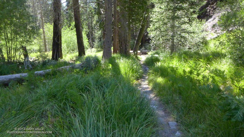
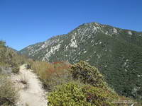
For the most part the running on the Pacific Crest Trail this morning had been good. I’d run the stretch of the PCT between Van Dusen Canyon Road and Delamar Mountain Road as part of the Holcomb Valley 33 Mile, but the 11 mile segment from Delamar Mountain Road to Crab Flats Road was new to me.
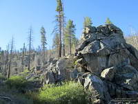
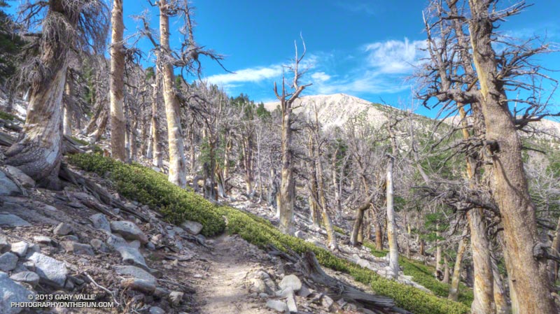
Much of this part of the PCT was burned in the 14,000 acre Butler 2 Fire in September 2007. Judging from the size of the trunks of the trees and shrubs, the Butler 2 fire was the first large fire in this area in many decades. Recovery is well underway, and it was great to see chest high pine saplings in some areas. Wildland fire seems to be a growing part of the outdoor experience in Southern California. It has become increasingly difficult to do a 20+ mile run and not pass through an area that has been burned in the past decade or so.
The route-finding on the 6.25 miles between Aid Stations #4 and #5 was supposed to be straightforward — stay on the single track PCT. Even with a long curved arrow on the road and pink markers at the start of the trail, the big, smooth, open, inviting dirt road was just too much of a magnet. I hadn’t run 100 yards on the PCT when we stopped to call two runners on the road back to the trail. In some cases runners followed the road all the way to aid station #5. At another point there was a nefarious truck track that diverted a number of runners off the PCT and up a hill.
Earlier in the race some runners turned down the Cougar Crest Trail. Some caught their error within a few steps, but I talked to one runner that added four miles to his run. The junction was reasonably marked, but it is surprisingly easy to make a route-finding mistake like this. If you are not expecting and looking for a junction it can be almost invisible.
The Kodiak 50 course was carefully marked were the route-finding was intricate (Little Green Valley, Green Valley, Snow Valley, Start of Siberia Creek), but infrequently marked were there were no route choices or the route-finding was believed to be straightforward. Like the RD said in the race meeting, there were long stretches with few or no markers. Crab Flats Road comes to mind.
In some races extra markers are added for moral support. Some say too many markers. It isn’t a question of old school or new, but rather race style. This RD made it clear in the race meeting what the style of this race was going to be. Instead of extra markers I started looking at runner’s tracks and noticed a particular Hoka track. It was a smaller size and always on top of the other tracks. If I wanted confirmation I was still on route I’d look for that track, and there it would be — every time!
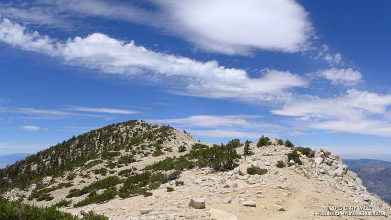
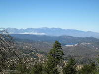 Lake Arrowhead & Baldy Peaks |
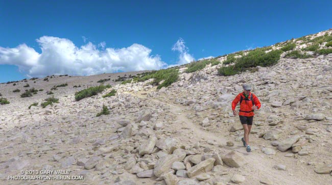
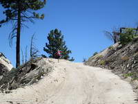 Steep Hiking |
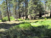 Little Green Valley |
I did a lot of looking at tracks on the way up Crab Flats Road to Green Valley, and then on other roads and trails on the way to Little Green Valley and Rim Nordic. There were a couple of runners that were sometimes a little ahead or behind me, and though we didn’t run together it was good to have company on this stretch.
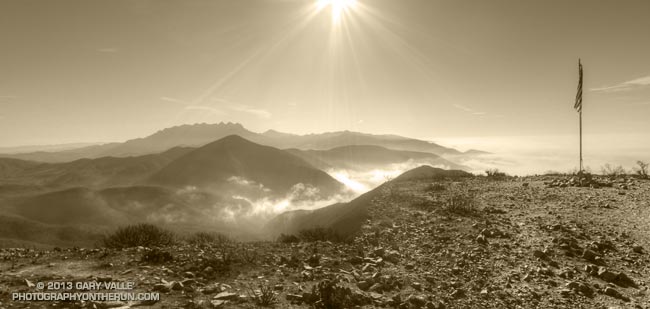
I’d reached Camp #4 (~29 miles) at Rim Nordic and the Rim of the World Highway a little behind what I expected, but couldn’t complain. I was feeling pretty good. I had no foot problems; hadn’t gone off-route; hadn’t had any cramping; and had scored some BBQ ribs at the aid station.
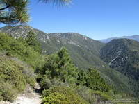
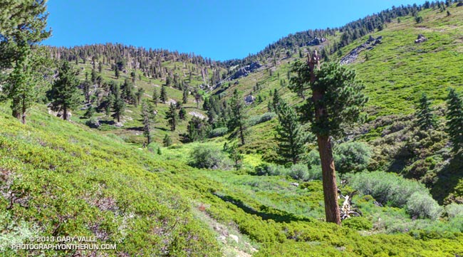
Now, as I continued down the Camp Creek Trail at mile 30-something, I scanned the steep slopes across the canyon trying to see the trace of the re-opened Siberia Creek Trail. I had little doubt that the 6.8 mile, 3000′ climb was going to be the crux of the course. Race organizers had spent untold man-days working on this trail and warned us of its difficulty. It would be a tough climb, but all I had to do was hike it. I didn’t have to clear it, mark it, or chop holds in all the trees that had fallen across the trail!
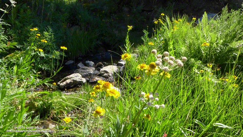
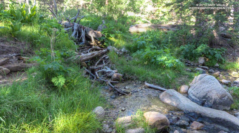
After a few more minutes of rocky downhill I finally reach Bear Creek and Water Station #3. There’s a log bridge and rope across the creek and this grinning guy is holding the rope steady for another runner to cross. It turns out the person holding the rope is Eric Bulrice, one of the race organizers. We talk for a while and he tells me he’s basically spent the summer in “Hades Canyon,” working on the Siberia Creek Trail.
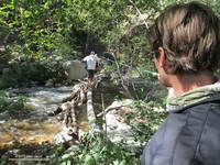
While Eric is filling up my 70 oz. Camelbak to the brim, I’m surprised to see three runners pass the water station without stopping. The course has tended to be longer and more difficult than expected and I just know I’m going to need every drop. Long story short, they and several other people run out of water part way up the climb. I tell them I will tell the aid station to send someone down.
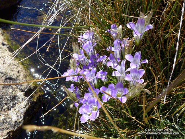
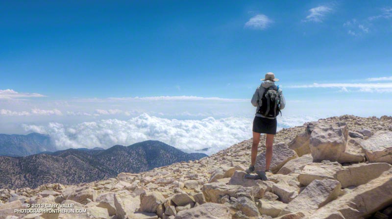
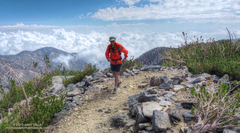
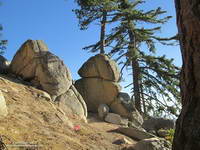
I think the best adjective I’ve heard describing the Siberia Creek Trail is that it was relentless. And it was. It just never ended. But using a term usually applied to rivers, it was also incredibly wild and scenic. I knew there was a rock formation called Gunsight not too far from the aid station, and kept looking for big boulders along the trail that fit its description. I hope to get back there soon and do the trail when I’m not in a “I have to get up this thing” mode.
For those of us doing the Siberia Creek climb in the midafternoon, we were very fortunate to have cool weather. The Converse RAWS, which is at about 5600′ and a few miles away, topped out at 75°F at noon and was at about 71°F at 3:00 pm. Just six days before the temp had been 90°F at 2:00 pm.
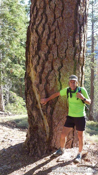
The downside to that cool afternoon weather was cold weather at night. I reached Aid Station #6 (Champion Lodgepole Pine) at about 6:00 pm and it was already beginning to get chilly. A runner ahead of me had alerted aid station personnel that runners needed water and I had been glad to see a volunteer headed down the trail with a jug of water.
For spending so much time thinking, thinking, thinking about not much else except reaching the aid station, I didn’t spend much time there. The temperature was dropping and the wind was picking up. I refilled my hydration pack, had a half-cup of warm noodles and some Coke, and headed on out.
Remember those Hoka tracks I’d been following? I caught up to them part way up Siberia Creek. Turns out they belonged to Debbie Botten. She lives just over the hill from me and we have some friends in common. Shortly after dark we and Gabriel Hernandez started running together. This made a huge difference in being able to deal with the last miles of the course. Gabriel would sometimes run ahead and at one point spotted a bobcat on a log, watching us run by!
It was cold! Except for a pair of compression shorts I probably should have put on, I had on everything I’d taken — two short sleeve shirts, heavy sleeves, an ultralight shell with a hood, and gloves. It was windy up on the ridge near Grand View and I was very happy when we didn’t follow the 100 mile course along the ridgeline and began our descent.
The final stretch of dirt road paralleled Big Bear Valley, and running down it was like a slow motion nighttime approach to LAX. Ever so slowly the glowing lights of the city came up to meet us. From time to time we could hear distant cheers as runners crossed the finish line, and each time the cheers were a little louder and boosted our spirits a little more. Soon we too were running down the asphalt of Pine Knot Ave and to surprisingly enthusiastic cheers and shouts, given the hour, crossing the finish line!
 Getting Ready |
 Kodiak Basecamp |
 Race Meeting |
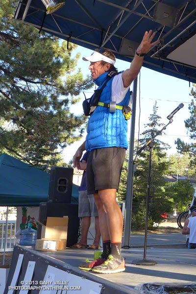 RD Paul Romero |
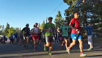 Kodiak 100 Start |
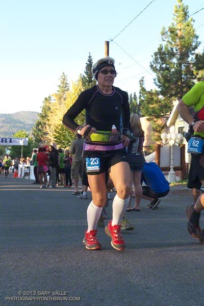 Womens 100M Winner |
Many thanks to Paul Romero, Eric Bulrice, Matt Smith, Dede Hermon, Scott & Tammy Carnohan, Sarah Sherry, Peter Brennan and Cyril Jay Rayon for the huge amount work necessary to put an event like Kodiak together. “Hey, let’s do a 100 mile course around Big Bear Lake and while we’re at it, open up a historic trail that hasn’t been maintained for decades!” Also a big THANK YOU to the volunteers. I was always greeted with a smile and all the help I needed.
Out of the 67 100 milers that started, only 19 finished and most of the favorites dropped. In a race where the top time was expected to be under 20 hours, New Hampshire’s Garry Harrington’s was the only runner to break 24 hours, coming in at 23:58:55. The top woman in the 100 miler was Jeri Ginsburg from San Diego, with a time of 29:15:10.
Runners in the 50 mile fared better. Out of 71 runners that started, only 17 dropped. Italy’s Michele Graglia put down a phenomenal 9:32:28 for the win. The top woman in the 50 mile was Kristina Tudor of Azusa, who cranked out a 12:03:20. Fifteen year old Steven Evers (remember when you were 15?) flew through the course in 11:53:31.
My friend Ann, with no regrets, called it a day at Camp #4, which we now know is at about mile 79. She had no issues and plans to do Kodiak again next year. She did have something unusual happen during the race. After running miles and miles alone up Crab Flats Road she began to wonder if she was still on course. Rounding a corner she saw a couple rummaging around in a van with bikes on it. She asked if it was a water station and was told, “Yes, but it is for a motorcycle event!’ For the moment it took to realize she was being had, she thought she was miles off course. They had a good laugh about it later. When she reached Camp #4 she texted this to her TransRockies running partner:
“I’m totally happy with 75 glorious miles, the course is just way hard so takes long. I had my night run, stars and full moon and the PCT! Happy me! Volunteering now :)”
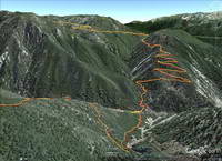
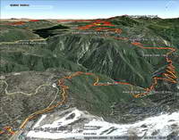
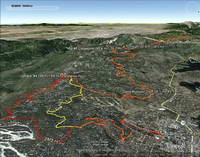
Here is an interactive Google Earth view of the 100 mile (red) and 50 mile (yellow) courses. The view can be zoomed, panned and tilted. Placemark locations and distances are approximate. The distances are those calculated by SportTracks from the GPS tracks. If your device/browser doesn’t support the Google Earth plugin, here are a some Google Earth snapshots of several sections of the Kodiak 100/50 Mile courses:
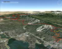 Start to Camp #2 |
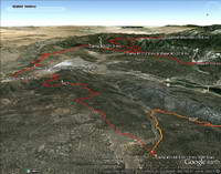 Camp #1 to Camp #3 |
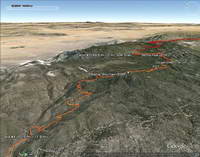 Camp #3 to Aid #4 |
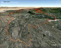 Aid #4 to Camp #4 |
 Camp #4 to Aid #6 |
 Aid #6 to Finish |
In SportTracks the 100 mile track (from Garmin Connect) worked out to 104 miles with a conservative gain/loss of +15,801 / -15,831. My 50 mile track worked out to 53 miles with a gain/loss of +8,310 / -8,861. SportTracks elevations were corrected using pkan’s Elevation Correction Plugin and NED 1/3 arc second DEMs. SportTracks elevation data smoothing was set to conservative value of 55.
For more info, full results, and photos see the Kodiak 100 web site and Facebook page.