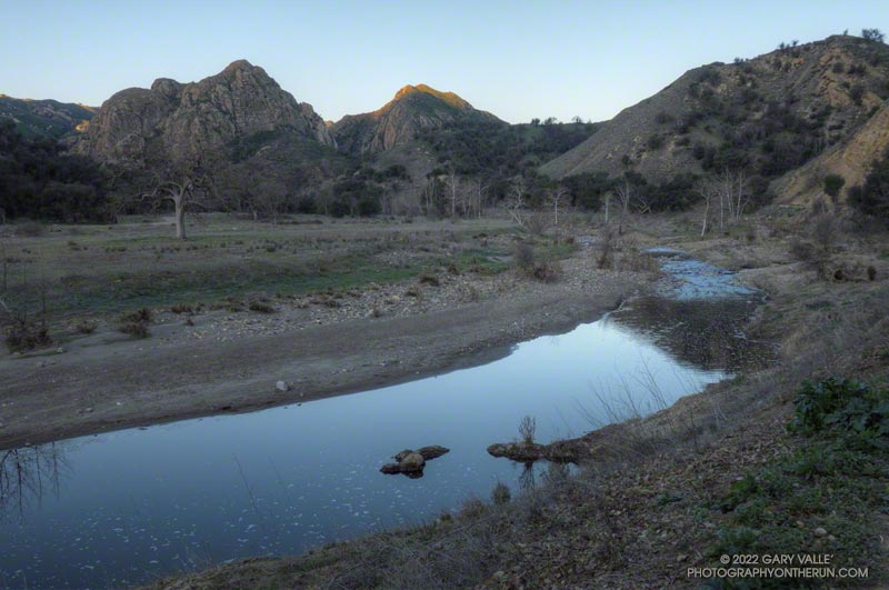
If you’ve done the Bulldog Loop since the first of the year, you’ve no doubt noticed there’s water in Malibu Creek again, and a lot of flood debris along the creek between Century Lake and the M.A.S.H. site. That’s all thanks to the extraordinary amount of rain we had in December. This pile of flood debris is near the old concrete bridge that washed out in the February 2017 flash flood.
This morning it was chilly along this section of creek, so it was worth a little effort to find a way across the creek with a high probability of staying dry. This sketchy log wasn’t one of them, but I found a fairly easy crossing a little upstream. Another runner mentioned there were a couple of planks across the creek just downstream of the old bridge.
Although stream gage data suggests that the peak flow was higher in February 2017, that was the result of one period of very heavy rainfall. In December 2021 there were peaks on three days, corresponding to three periods of rain.
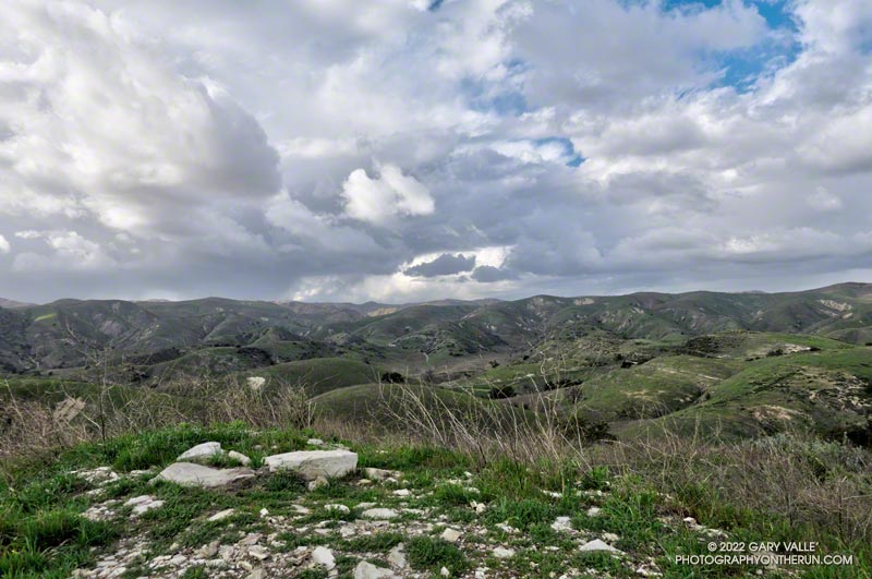
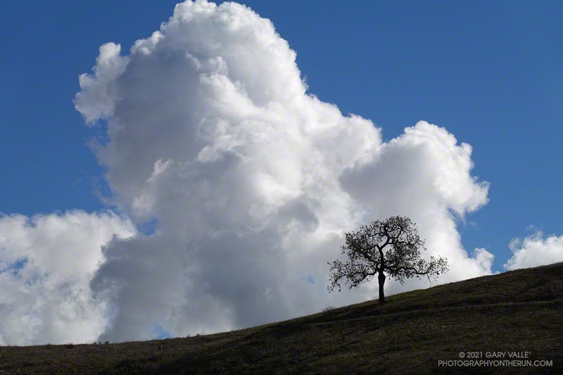
The cumulus cloud towered overhead, its size accentuated by a lone oak on the skyline. An extraordinary series of December rainstorms were finally over. The year 2021 would end with Downtown Los Angeles (USC) having recorded the third highest amount of December rainfall on record.
I was running from the Victory Trailhead of Upper Las Virgenes Canyon Open Space Preserve (aka Ahmanson) to Las Virgenes Canyon. With about 5 inches of rain in the area over the past two days, I was curious to see how upper Las Virgenes Creek was flowing.
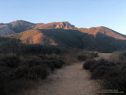
When I parked at the Wendy Drive trailhead, there was just enough light to see a wide band of high clouds overhead. That was good news. With a well-advertised storm expected to move through the area the next day, I hadn’t been sure what weather to expect for today’s run.
The general forecast was for low clouds and fog in the morning, giving way to partly cloudy skies in the afternoon. I was going to be running one of the more scenic trails in the Santa Monica Mountains — the Ray Miller Trail. High clouds and sunshine were a much better option than running in the fog or with gloomy, overcast skies.
Shortly after leaving the trailhead, the band of high clouds became underlit by the reds, oranges and yellows of the rising sun. It was going to be a good run.
The route-finding on this run is relatively straightforward. From the Wendy Drive trailhead on Potrero Road, run over to the Satwiwa Native American Indian Culture Center (see Satwiwa map). From the Culture Center run 4+ miles on Big Sycamore Canyon Road/Trail toward the beach. Some of this is paved.
Once past the junction of Sycamore Canyon and Wood Canyon fire roads, take either the Wood Canyon Vista Trail (Backbone Trail) or Fireline Trail up to the Overlook fire road. From the top of the Wood Canyon Vista Trail turn left on Overlook fire road, or from the top of Fireline turn right, and follow the road to the top of the Ray Miller Trail. The Fireline option is about 0.4 miles longer. Here’s a map from the State Park website. Note that the La Jolla Canyon Trail is closed.
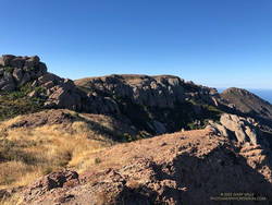
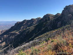
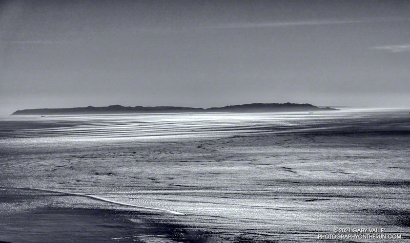
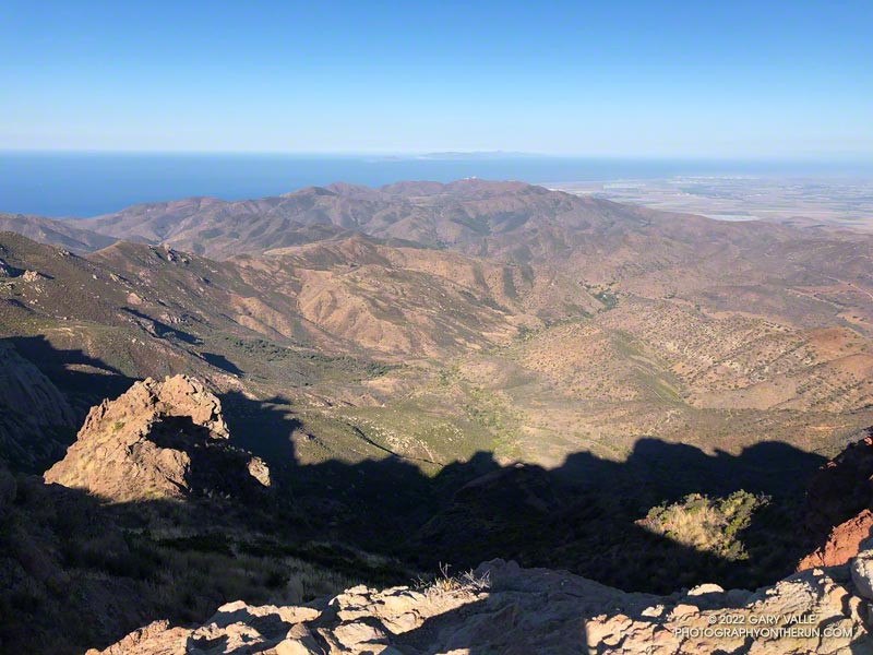
The Ray Miller Trail drops about 1000′ over 2.6 scenic miles. There is usually water available at the parking lot at the trailhead. Today the conditions were about as good as they get. The trail was in excellent condition. The temperature was in the mid-70s. The marine layer was holding offshore and a few puffy clouds had formed over the higher peaks.
One of the things about the Ray Miller Trail is that run/hike up it is almost as enjoyable as the run down. It is a very popular, and there are almost always runners and hikers on the trail. Running up a section of trail, I thought I recognized someone going down. It was nine-time Badwater finisher Chris Frost. We talked for a while about trails, running and races.
From Overlook Fire road the route back to Wendy was a familiar one — Hell Hill, Wood Canyon Fire Road, Two Foxes Trail, Big Sycamore Canyon Road, Upper Sycamore Canyon Trail, Danielson Road, and the Satwiwa Loop Trail. Including a short jog over to PCH the run was a little over 24 miles with about 3100′ of elevation gain.
Here’s an interactive, 3D terrain view of the Wendy Drive – Ray Miller Out & Back trail run. The map can be zoomed, tilted, rotated, and panned. To change the view, use the control on the upper right side of the screen. Track and placename locations are approximate and subject to errors. Poor weather, and other conditions may make this route unsuitable for this activity.
There was hardly any wind on the drive out to Azusa, and I wondered if the offshore wind event forecast to peak this morning was going to happen. But after winding up Highway 39 to the Windy Gap Trailhead, all doubts vanished. The wind was blowing in powerful gusts that shook the car and my enthusiasm.
Not only was it windy, it was cold. I briefly debated going down to warmer climes — temps were forecast to be in the 80s and 90s in the valleys — but decided to at least run up to Windy Gap and see what it was like there.
As is often the case, once I got moving, it wasn’t too bad on the Windy Gap Trail. It was very windy in some spots and nearly calm in others – just what you would expect on the lee size of a mountain ridge. One thing was consistent — there was almost no sunlight on the trail.
I’d been curious to see how the run/hike to Windy Gap (7588′) from the Windy Gap Trailhead (5836′) in the Crystal Lake Recreation Area compared to starting at the Islip Saddle Trailhead (6650′) on Hwy 2. It turns out the distance using either approach is the same — a little over 2.5 miles. But, the Windy Gap Trailhead is lower, so starting there adds a little over 800′ of gain. Today, that extra gain was helping to keep me warm.
As I worked up the last long switchback I could see and hear the trees on the crest being buffeted by the wind. Reaching Windy Gap I’d was relieved to see that it looked the same as it always has. As shown on fire maps, Windy Gap was not burned in the Bobcat Fire.
That relief was short-lived as I was just about knocked down by a gust of wind. I’ve passed by Windy Gap many times, and the wind this morning was the strongest I’ve experienced there.
Later I found that several gusts over 50 mph were recorded at Chilao that morning. Because of terrain effects, I would not be surprised if the gusts at Windy Gap were 60 mph or more. The gusts were “stop you in your tracks, blow you over” strong. And it was cold. The temperature sensor on my pack read 34°F.
Out of curiosity, I ran a short distance along the PCT to see if conditions improved. That was a bad idea. I turned around and got the heck off the crest.
Running back down the Windy Gap Trail, I wasn’t ready to call it a day. It occurred to me that I could run down to the South Mt. Hawkins Trail — the old South Hawkins Lookout service road — and then run up to South Mt. Hawkins. Maybe the old road would be more wind-protected than the Windy Gap Trail.
And maybe not! Looking at the topography, I could not figure out why the wind on some sections of the South Mt. Hawkins road was so strong. Some gusts were as strong as at Windy Gap. The noise from the wind in the trees was deafening, and amplified my concern about falling trees and flying debris. I did not want to have a “Weather Channel” moment.
Although the wind was strong, the sun was now higher, and some sections of the road were warmed by the sun. This made a big difference. As I wound into and out of the side canyons, the temperature varied from the high 30s to the low 50s. In two places there were small, dirty patches of icy snow.
Ironically, the wind and temperature were relatively moderate on the summit of South Mt. Hawkins! After taking a few photos, I descended the “Ridge Trail” to the South Mt. Hawkins trail/road, and made my way back to the Windy Gap Trail and the trailhead.
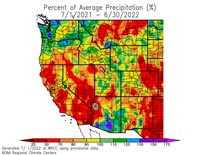
As of March 1, Downtown Los Angeles had recorded only 1.99 inches rain over the past eight months. Most of that was recorded in one storm in early January. It was the second driest July 1 – February 28 on record.
Following the January storm, temperatures warmed up and stayed relatively warm for much of the next 30 days. In the West San Fernando Valley the high temperature hit 89 °F at Pierce College on February 4, and was over 80 °F for 12 consecutive days. Some plants (and some rattlesnakes) responded as if it was Spring.
In mid February Winter returned, with cool daytime temperatures and cold nights. There were Frost and Freeze Warnings on several nights.
In March the ridiculously resilient ridge of high pressure over the West Coast finally relented, resulting in above normal rainfall. It took awhile, but the March rain and April sun eventually produced an assortment of wildflowers.