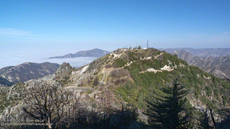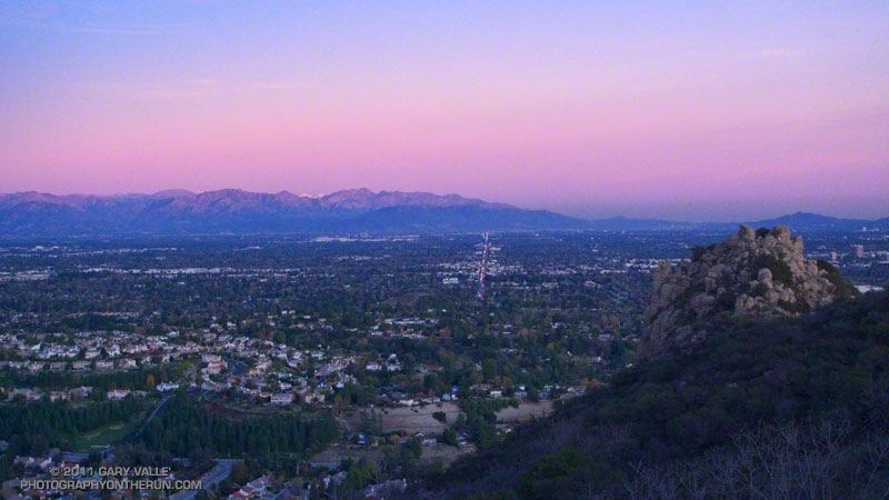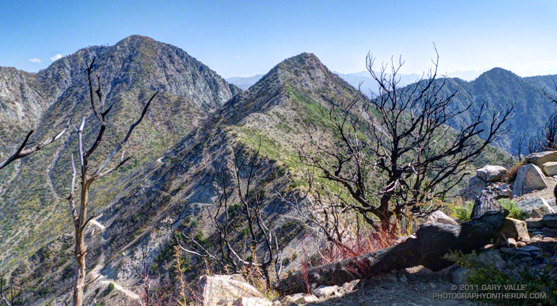
Mt. Wilson Rim Trail – Kenyon Devore Trail Loop

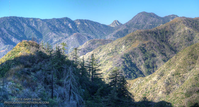
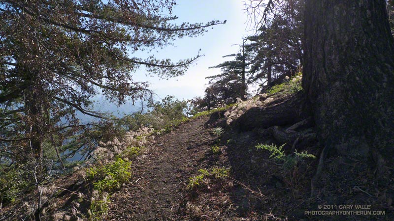
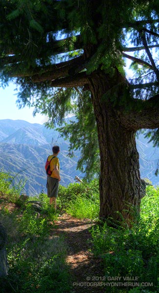
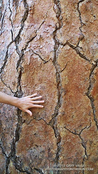
Big cone Douglas-fir on the Rim Trail near Mt. Wilson

Brett was down for Father’s Day weekend and one of the things we wanted to do was get in a couple of good trail runs. He’s heard me talk (a lot) about the Mt. Disappointment 50K and how it ends. Basically you run 27 hilly miles with over 3600′ of elevation gain, THEN finish the race by doing a 5 mile, 2650′ climb from West Fork up the Gabrielino & Kenyon Devore Trails to the top of Mt. Wilson.

This final climb tells the 50K tale. If you’ve trained well and run a good race a middle-of-the-pack runner might gain 15-20 minutes on this leg. If not, you could easily lose an hour or more. In any case you put everything you have left into this climb. An elevation profile and some stats for Kenyon Devore are included in the post Hitting the (Big) Hills of Southern California.

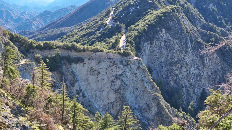
There are several ways to incorporate Kenyon Devore into a loop, but I could only think of two that didn’t involve running on Mt. Wilson Road. One option was a 22 mile/5000’gain loop from Shortcut Saddle to Mt. Wilson and back. That wasn’t going to happen because just five days before I’d run the Holcomb Valley 33 Mile race. Instead we opted to start on top of Mt. Wilson and use the Rim Trail, Gabrielino Trail and Rincon – Red Box Road to get to West Fork. This would pare down the loop to a manageable 12 miles and 3000′ of gain.


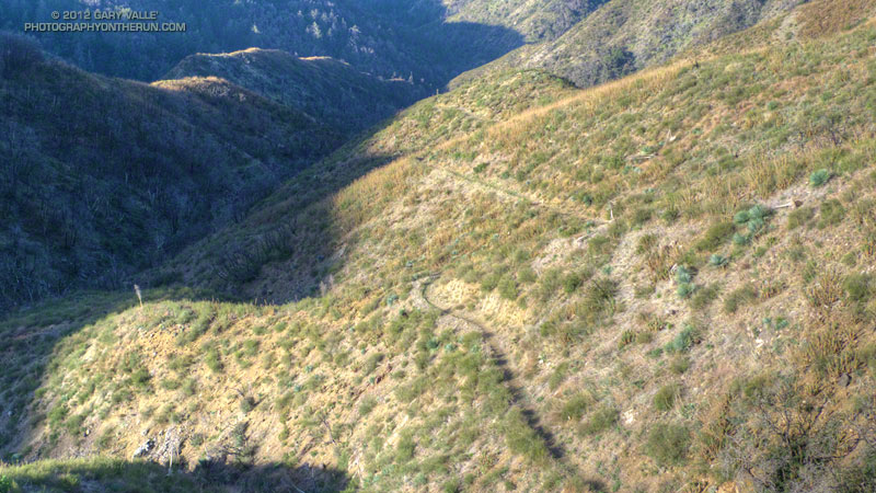
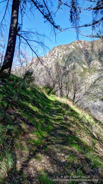
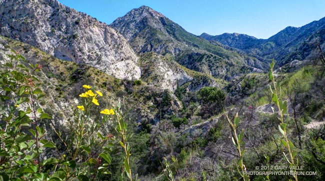
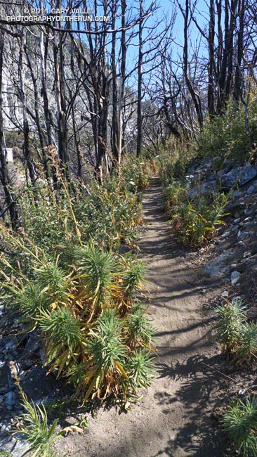
Other than a “few” gnats, a lot of poison oak and some Turricula (Poodle-dog bush), the Rim Trail was in good shape and the running excellent. Once away from the observatory complex the trail has an adventurous, backcounty feel. The trail was in good enough condition that Brett enjoyed running it in the KomodoSport LS.

The day was going to be a scorcher and I was glad that much of the Rim Trail was on the shaded, north side of the crest. The Gabrielino Trail and Rincon – Red Box Road were also relatively cool and in the shade. With no race clock ticking away, we stopped at West Fork and ate some blueberries and PB&J. So far the route had been down, down, down; but in a few minutes it was going to go up, up, up.
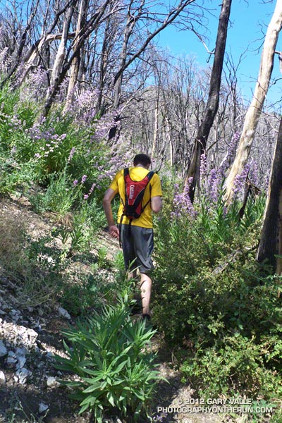


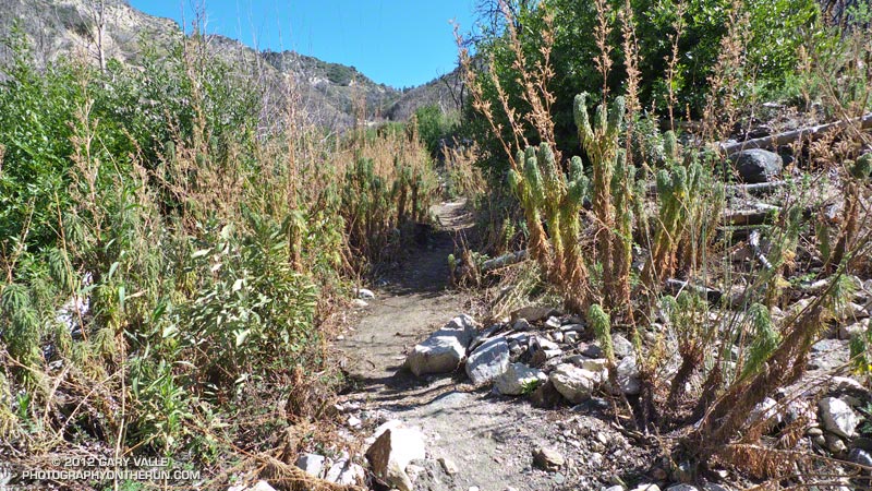
One of the surprises of the day was how much the Turricula (Poodle-dog bush) had grown along the Gabrielino and lower Kenyon Devore Trails since I had been here in early March. A rain gauge near here (Opids Camp) recorded nearly seven inches of precipitation from March 25 to April 26. This appears to have promoted the growth of the Turricula. In a very dry rain season the rain and snow had been much needed. It rejuvenated the streams and vegetation, and the area looked much as it would if the seasonal rainfall had been normal.

The Turricula could not be avoided in some places, but that will be remedied in a couple of weeks when Gary Hilliard’s Mt. Disappointment Endurance Run volunteer trailwork group works on this section of the Gabrielino Trail and the Kenyon Devore Trail.

Update June 21, 2012. Although my contact with Turricula on this run was very limited, I did have a mild reaction, mainly on my arms. There was very slight inflammation and the “prickly” itching that is characteristic of Turricula. The itching became noticeable about a day after exposure and persisted for 4-5 days. Although mild, the reaction was stronger than occurred following several similar encounters last year. One difference was the exposure to poison oak on the Rim Trail earlier in the run. It’s possible that there was a cross reaction. This was observed in animal testing, but not in (limited) human tests. However, my reaction following this latest encounter was much, much milder than my first bout of Turricula, which resulted from wading through large patches of the young Poodle-dog plants on miles of overgrown trail. That first very strong response may have also involved a cross reaction with poison oak.
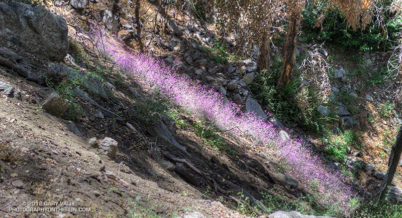


With the Summer Solstice approaching and the Sun so high, the temperature difference between sunny and shaded sections of trail was remarkable. About the time we were on Kenyon Devore the Clear Creek RAWS recorded a fuel temperature — the temperature of a wood dowel in direct sun — at a scorching 104°F. Brett did well on the climb and could have zoomed ahead. I had not recovered from Holcomb and struggled a bit on the exposed and steep sections of trail. Higher on the trail there was a breeze and more shade and that helped. It also helped pouring water over my head at the creek crossing!

It was great to show Brett Kenyon Devore, and what better way to sharpen the appetite for one of his superbly prepared dinners!
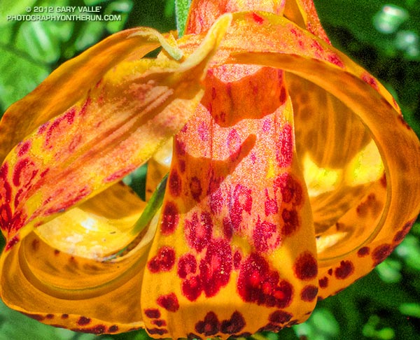


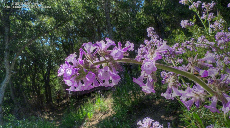
Humboldt Lily


Turricula (Poodle-dog Bush)


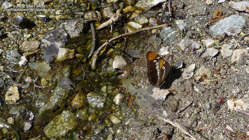
California Sister

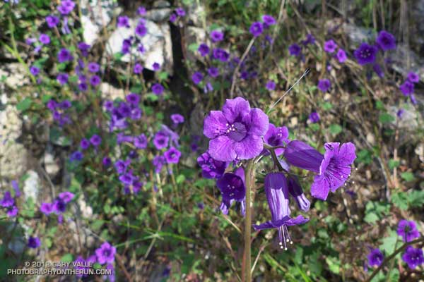
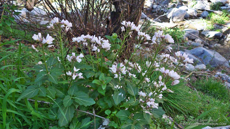
California Bluebells Along the Gabrielino Trail

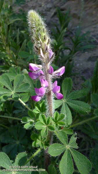
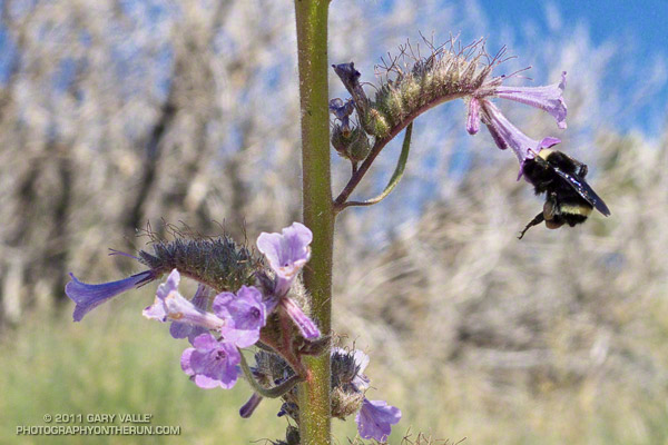
California bluebell (Phacelia minor)

Like Turricula (Poodle-dog bush)*, California bluebell (Phacelia minor) has been shown to cause a contact dermatitis similar to poison oak. The results from one study suggest the “dermatotoxic potential” of California bluebell approaches that of poison ivy/oak and that it is more likely to produce a reaction than Turricula.

Fortunately California bluebell doesn’t appear to be as prolific a fire follower as Turricula and is a much smaller plant.

The photograph is from a trail run in May.

*The taxonomic name for Turricula parryi (Poodle-dog bush) has changed to Eriodictyon parryi. The Jepson Manual: Vascular Plants of California, Second Edition (2012) has returned Turricula to the genus Eriodictyon, as originally described by Gray. According to the Wikipedia entry for Turricula (April 11, 2012), “… molecular phylogenetic analysis carried out by Ferguson (1998) confirms that Turricula should be treated as a separate genus within a clade (Ferguson does not use the term “subfamily”) that includes Eriodictyon, and also the genera Nama and Wigandia; Eriodictyon is the genus to which Turricula is closest in molecular terms, and is its sister taxon.” I use “Turricula” and “Poodle-dog bush” interchangeably as a common name.

Related post: Contact Dermatitis from Turricula parryi – Poodle-dog Bush and these additional posts.

After the Station Fire: Shortcut – West Fork – Newcomb Saddle Loop

Mt. Wilson area peaks from the Silver Moccasin Trail

Did the “back 25K” of the Mt. Disappointment 50K course this morning, plus a couple of bonus miles on the Gabrielino Trail and the bottom of the Kenyon Devore Trail. Like last Sunday’s run, today’s run was in a part of Angeles National Forest that was closed by the 2009 Station Fire and reopened last May.


This loop was part of the Mt. Disappointment 50M course in 2007, 2008 and 2009, and the 50K course in 2010 and 2011. Today I started the loop at Shortcut Saddle, running down the Silver Moccasin Trail to West Fork, then up to Newcomb Saddle, and then completed the loop by returning to Shortcut on Edison Road. In the 50K, the loop starts at West Fork, but the sequence of trails is the same.

Because of increased foot traffic and our dry Winter, last year’s trailwork on the Silver Moccasin Trail held up well. Most of the trail between Shortcut Saddle and West Fork was in great shape and very runnable. There were a couple of trees across the trail, but these were easy to work under, over or around.


The reason for the side trip on the Gabrielino Trail was to check out the bottom of the Kenyon Devore Trail. This section of trail was severely burned in the Station Fire, then overrun by a debris flow and overgrown by Turricula (Poodle-dog bush). The Mt. Disappointment 50K/50M volunteer trailwork group has worked many hours here, as well as on the rest of the Kenyon Devore Trail, the Valley Forge Trail and the Silver Moccasin Trail. The trail had seen a lot of traffic and was in good shape.

As was the case last week, there was still Turricula along the trails and roads, but for the most part it was easy to avoid.

The last time I’d run up Edison Road was last August during the 2011 Mt. Disappointment 50K. Temps were about 25-30 degrees warmer that day. With the cooler weather I actually enjoyed the climb and was able to run more of it. A lot of work was being done on Edison Road and I chuckled as I passed each “No Loitering” sign posted along the road. I hoped I wouldn’t be doing too much of that in the 2012 Mt. Dis 50K.

After the Station Fire: Red Box – Bear Canyon – Gabrielino Loop Revisited

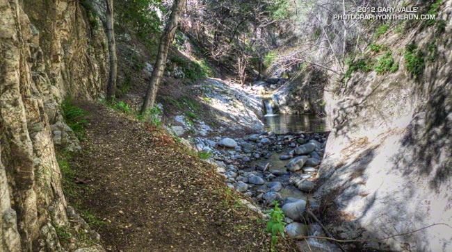
Arroyo Seco downstream of Switzer Falls

Arroyo Seco Downstream of Switzer Falls

By the calendar Spring was still a couple weeks away, but temps near 80 were forecast for the lower elevations of the San Gabriel Mountains and the weather looked ideal for revisiting the Red Box – Bear Canyon – Gabrielino loop in Angeles National Forest. I did this loop last May when the area re-opened following the Station Fire and was curious to see how recovery was progressing, and how much trail use and maintenance had improved the trails.

The difference in 10 months was remarkable. Recovery of the burned areas continues at a steady pace, and trail conditions on much of the loop are not all that different than before the Station Fire. Following are some notes about each segment of the loop.


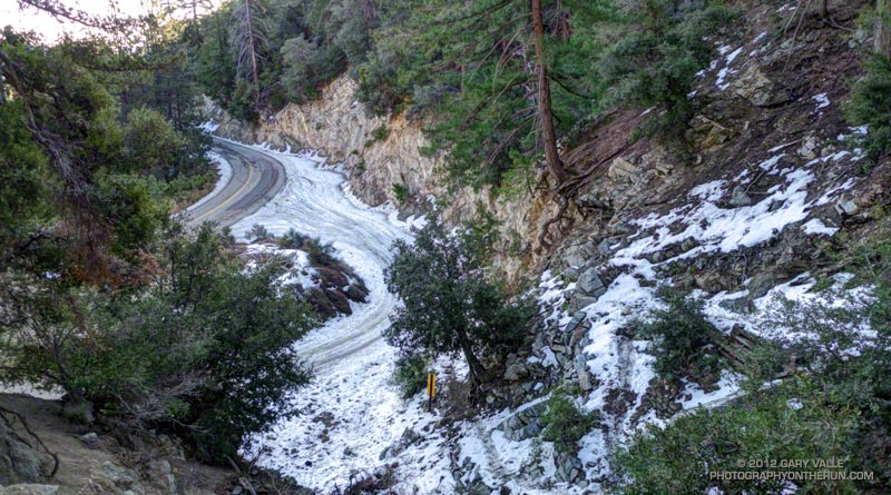
San Gabriel Peak Trail to Mt. Disappointment Road: This trail segment was not burned in the Station Fire and is in good shape. The weather had been much colder earlier in the week and there was still some snow on the trail from a mid-week storm.


San Gabriel Peak Trail from Mt. Disappointment Road to Mt. Lowe Truck Trail fire road: Thanks to work done by the JPL Trailbuilders this segment was in decent shape last year, and was in even better shape today. It’s rough and rocky in places, and there’s still some Turricula along the trail, but it was very runnable and not unlike it was before the fire. There are excellent views of Mt. Markham, Mt. Lowe, upper Bear Canyon and the rugged terrain along Mt. Lowe Truck Trail fire road.


Mt. Lowe Truck Trail fire road to Upper Bear Canyon Trail: Other than some rock fall here and there, there were no particular issues from a trail running point of view. There are good views of San Gabriel Peak, Mt. Disappointment and Bear Canyon.

Upper Bear Canyon Trail from Mt Lowe fire road to Tom Sloan Saddle*: Excellent condition thanks to recent trail work by the Outdoor Club.

Bear Canyon Trail from Tom Sloan Saddle to cabin site: Use of the trail and low Winter precipitation have improved conditions on this trail segment, but some problem sections remain. A short detour off the trail was necessary about a half-mile from Tom Sloan Saddle.


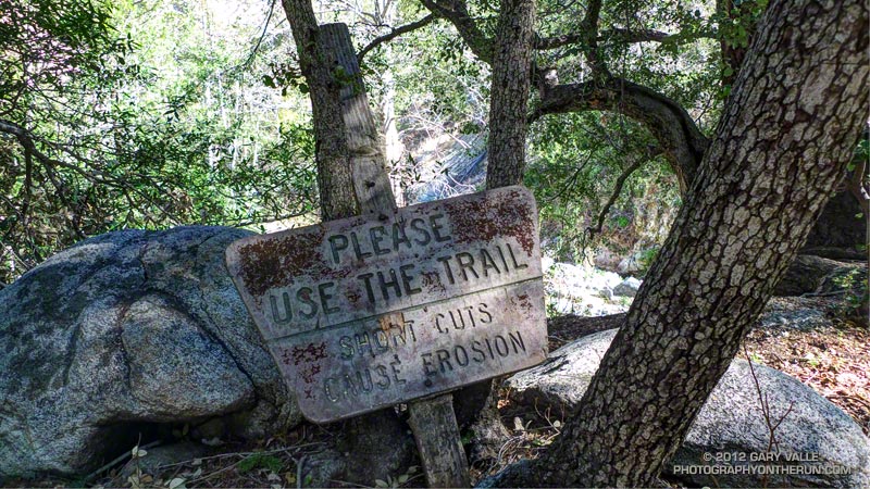
Cabin site to Bear Canyon Camp: Increased use made it easier to follow the use trail and work down the canyon. The collapse of this unburned oak may not have been related to the fire. Bear Canyon Camp is about halfway through the canyon, above the creek on a bench on the left (when descending). The camp is in great shape, and from its shaded sites it would be hard to tell a fire had ravaged the area. At the edge of the camp is an old Forest Service sign, placed by someone with a sardonic wit.


Bear Canyon Camp to confluence with Arroyo Seco: This segment has seen much more use — as I descended the canyon I encountered four groups and two solo hikers working up the canyon. There were a number of ribbons and ducks marking the way and the use trail is becoming better defined. Although some nice sections of the old trail remain, most of the trail in Bear Canyon was washed out well before the Station Fire. As noted by John Robinson in Trails of the Angeles, “…the old Tom Sloan Trail that once traveled the length of the canyon is in poor shape and you must scramble and boulder-hop much of the way.” This is part of the Bear Canyon experience and hopefully the path won’t become so well-marked that all you have to do is blindly follow the markers.


Arroyo Seco to Gabrielino Trail and Switzer Picnic Area: Very well-used. Its condition is similar to what it was before the Station Fire. I was surprised to see two people on mountain bikes descending the steep section of trail that leads to the Arroyo Seco below Switzer Falls, and then downstream Bear Canyon junction and Royal Gorge. I wondered if they had missed the fork onto the Gabrielino Trail. If they were the mountain bikers that were later rescued at the Paul Little debris dam, and didn’t backtrack to the Gabrielino Trail, they would have had a nightmare of a hike-a-bike through trailless Royal Gorge.


Gabrielino Trail from Switzer Picnic Area to Red Box: Last year the condition of this trail segment was the worst of any trail on the loop. It was washed out in several places. There were downed trees. Some sections were so overgrown it was difficult to follow the trail. In several places I had to literally wade through chest high Turricula. Not so this year. Thanks to the efforts of CORBA and MWBA this trail has nearly been restored to the condition it was in prior to the Station Fire. Other than dealing with the uphills I had no problem running the trail. There’s still a lot of Turricula along the trail, but it is mostly avoidable.

Last year on this loop there was no avoiding the Turricula and I paid the price, its sticky resin coating my arms and legs and resulting in a rash and inflammation. This year I only contracted a couple of small spots of poison oak. This post has more info about Turricula.

There is a long list of volunteer groups that have been working to restore the trails in the Station Fire burn area. Most of the trails in the open areas of the Forest burned in the Station Fire are in fair to good condition, or at least in the same shape they were in before the Station Fire. Some are in better shape than before the fire.

The Forest can be a hazardous place, but there were washouts, rock slides, downed trees, overgrown trails, lost hikers and other incidents BEFORE the Station Fire. Just because an incident occurs in the area burned by the Station Fire doesn’t mean it’s the result of the fire.

Related posts: After the Station Fire: Red Box – Bear Canyon – Gabrielino Loop, After the Station Fire: Ten Miles – Four Peaks

*Tom Sloan appears to be correct spelling, rather than Tom Sloane as printed on some USGS maps. In Trails of the Angeles John Robinson mentions that Tom Sloan Saddle is named after a former district ranger. There’s a quotation from the Arcadia Tribune (1918) on the Forest Lookouts page for Los Angeles County regarding Arcadia Station that refers to “Thomas W. Sloan, chief ranger in the United States Forest Service in this district…”

After the Station Fire: Opportunistic Bumblebee

Bumblebee feeding on Turricula (Poodle-dog bush)

This bumblebee is doing its best to hold on and squeeze far enough into a Turricula blossom to slurp some nectar.

Other than rabbitbrush, there are not many food choices for bees in the Southern California mountains in the Fall, so they have to take advantage of what can be found.

Not much Turricula (Poodle-dog bush)* is blooming either, but it has been such a prolific fire-follower that here and there a plant is in flower.

*The taxonomic name for Turricula parryi (Poodle-dog bush) has changed to Eriodictyon parryi. The Jepson Manual: Vascular Plants of California, Second Edition (2012) has returned Turricula to the genus Eriodictyon, as originally described by Gray. According to the Wikipedia entry for Turricula (April 11, 2012), “… molecular phylogenetic analysis carried out by Ferguson (1998) confirms that Turricula should be treated as a separate genus within a clade (Ferguson does not use the term “subfamily”) that includes Eriodictyon, and also the genera Nama and Wigandia; Eriodictyon is the genus to which Turricula is closest in molecular terms, and is its sister taxon.” I use “Turricula” and “Poodle-dog bush” interchangeably as a common name.

From Sunday’s Ten Miles – Four Peaks run in the San Gabriel Mountains.

After the Station Fire: Ten Miles – Four Peaks

Mt. Lowe from Mt. Disappointment

A run or hike doesn’t have to be long or difficult to be enjoyable! It had been a while since I’d done San Gabriel Peak, Mt. Markham, and Mt. Lowe; and although I’d run within a quarter-mile of the summit of Mt. Disappointment several times, I’d never done the last bit up to the peak. All four of these peaks can be done in a (round trip) run/hike of less than ten miles, with a cumulative elevation gain/loss of around 3000′.

Depending on where you prefer to park, the run/hike can start at the San Gabriel Peak Trail trailhead, which is about one-third of a mile up the Mt. Wilson Road, or at Red Box on Angeles Crest Highway. Parking at Red Box requires running/hiking on Mt. Wilson Road to the trailhead.


The San Gabriel Peak/Mt. Disappointment trail climbs up through a forest of chaparral, canyon live oak, and Bigcone Douglas-fir about 1 1/2 miles to the Mt. Disappointment road, just below the antennae-infested summit of the peak. Along the way there are great views of the canyon of the West Fork San Gabriel River and San Gabriel Peak. The paved road is followed south (left) to a sharp switchback and then a short distance up to the top of Mt. Disappointment (~ Mile 2.1).


In Trails of the Angeles, John Robinson describes how government surveyors lugged their equipment to the top of Mt. Disappointment in 1875, only to discover that another peak to the southeast was higher. That peak was San Gabriel Peak. Except for Strawberry Peak (6164′), San Gabriel Peak (6161′) is the highest of the front range peaks. It is the most prominent peak on the eastern skyline when viewed from the San Fernando Valley, and is sometimes mistaken for Mt. Wilson.

I imagine it was a bit easier for me to get over to San Gabriel Peak than for the surveyors when they did the peak’s first ascent. All I had to do was run a third of a mile down a paved road and pick up the San Gabriel Peak Trail on the southeast corner of the switchback. The trail up to San Gabriel Peak forks to the left off the trail to Markham Saddle about a tenth of a mile from the switchback.


The divide extending from Mt. Disappointment to Mt. Wilson was the approximate boundary of the Station Fire in this area. Although the summit of San Gabriel Peak burned, much of the northeast side of San Gabriel Peak and Mt. Disappointment did not. From what I can determine, the northeast side of these peaks last burned in the 1898 “Mt. Lowe” fire. There’s a nice section of trail just below the summit of San Gabriel Peak that passes through a corner of Bigcone Douglas-fir forest that was not consumed by the Station Fire.

After enjoying the panoramic view from the top of San Gabriel Peak (~ Mile 2.9), I retraced my steps back down to the “main” trail and continued to descend to Markham Saddle and the Mt. Lowe fire road. At this point another trail begins on the Mt. Markham side of the road. This trail leads southwest to a saddle between Mt. Markham and Mt. Lowe. Mt. Lowe Road is closed between Markham Saddle and Eaton Saddle because an active rock slide destroyed the road just west of Mueller Tunnel.


From the Markham-Lowe saddle a path follows the southwest ridge of Mt. Markham about a half-mile to its summit. The route up the ridge is relatively straightforward, but a steeper section requires a little scrambling over fractured, loose rock. The high point on Mt. Markham’s elongated summit ridge appeared to be a pile of rocks covered with Turricula. A little further out on the ridge was a clearing with a rusty can that may have been a summit register (~ Mile 5.1).


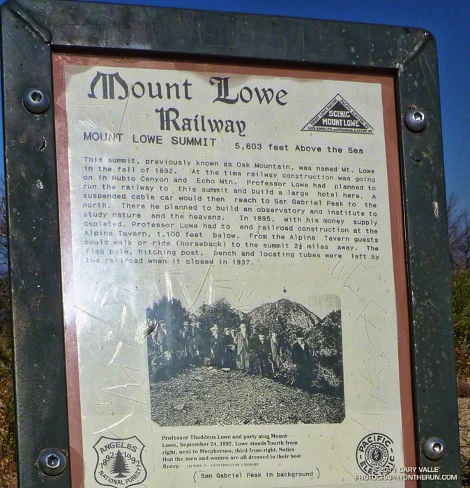
Returning to the Markham-Lowe saddle, less than a half-mile of moderate uphill led to the summit of Mt. Lowe (~ Mile 6.0). There’s a bench here, along with locating tubes pointed at various landmarks. As explained by the interpretive sign on the peak, Professor Thaddeus Lowe had planned to build a large hotel on the summit, serviced by the Mt. Lowe Railway. In his grand vision, a suspended cable car would have continued to San Gabriel Peak, where an observatory was to be built. Here’s a map of Mt. Lowe area trails and landmarks created by The Scenic Mt. Lowe Railway Historical Committee.

It was on the way back, near Mt. Disappointment, that I heard and saw the F-18s described in So Many Heroes. It turns out the fighters had done a flyover as part of a 9/11 Memorial dedication in Pasadena.

Turricula (Poodle-dog bush) Update


Turricula was present virtually everywhere along the route that had been burned, and could not entirely be avoided. It was especially prevalent on the path to summit of Mt. Markham from the Markham-Lowe Saddle.

I’ve been exposed to Turricula now on a number of runs, and except for the first time, when I literally waded through unbroken stands of the sticky young plants, it hasn’t been a problem — even wearing running shorts and short-sleeves. I’ve had a little irritation on my ankles, or sometimes along my waistband, or a random spot here or there, but it’s been no big deal. Certainly nothing like the widespread inflammation, swelling and blisters the first time!

Of course now I at least make an attempt to avoid the plants. And I also wash off my arms and legs at the earliest opportunity after being exposed to Turricula.

It also seems the older plants don’t have as much of the “exudate” on them, since my legs and arms haven’t become sticky from brushing up against the plants. Anecdotal evidence suggests that in the older plants irritation results from the almost microscopic hairs on the plant. It is thought these irritating hairs are more easily broken and shed as the plant ages.