Category Archives: weather

Mt. Disappointment 50K 2011 Training Run Part II

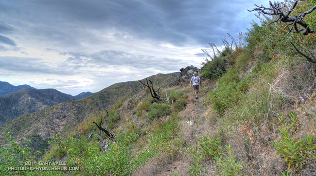
Descending to West Fork on the Silver Moccasin Trail

Note: The Mt. Disappointment Endurance Run is now the Angeles National Forest Trail Race.

The plan earlier in the week had been to do a day trip to the Sierra Saturday or Sunday and run the Cottonwood – New Army Pass loop, but computer models had shown a monsoonal flow developing, and a look at a satellite image Friday afternoon confirmed the forecast. Friday evening Whitney Portal was hit by a flash flood with water and mud reported up to waist deep in the campground. Runoff from the t-storms was increased by rain melting higher elevation snow, and by the ground already being wet from the prolonged melt of this year’s record-setting snowpack.
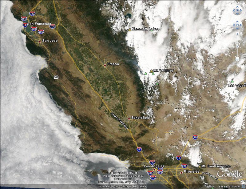


Computer forecasts indicated thunderstorms would likely continue in the mountains and deserts of Southern California through the weekend. Saturday I ran a few miles in the morning and then around lunchtime checked the weather in the Sierra. Strong thunderstorms had developed in the Southern Sierra, and a flash flood warning had been issued for the eastern slopes of the Sierra in the vicinity of Cottonwood Lakes Basin. Time to switch to plan B.

Plan B was to do a training run on the Mt. Disappointment 50K course. Mt. D is a figure-8 course, where each loop of the eight contributes about 16 miles and 3000′ or so of elevation gain/loss. Earlier this July there was a training run from Mt. Wilson on the Valley Forge – West Fork – Kenyon Devore part of the eight. Today we did another part of the figure-8 starting at Shortcut Saddle, running down the Silver Moccasin Trail to West Fork, then up to Newcomb Saddle, and then completed the loop to Shortcut on Edison Road. In the 50K, this loop would start at West Fork, but the sequence of trails would be the same.
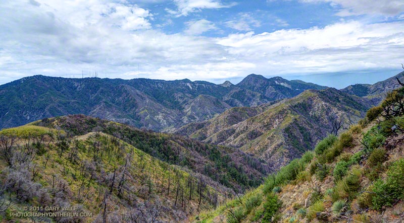


Along with the race-ending climb up Kenyon Devore to Mt. Wilson, the climb out from the West Fork San Gabriel River to Shortcut Saddle on Edison Road is one of the more “memorable” sections of the Mt. Disappointment course. At least Kenyon Devore has some shade. Even on a blustery Spring day the 5.5 mile climb up Edison Road (2N23) can be a warm one, and in direct sun in the heat of Summer it can be downright scorching. Not so today — a layer of monsoon clouds, a fresh breeze, and an occasional drop or two of rain kept the temperature on the ascent disturbingly reasonable.

The run worked out great, but may have been a bit misleading in terms of preparing for Mt. D. It’s unlikely we’ll have a giant sun shade for the race like we did today!

Note: Weather stations on Mt. Wilson and at Clear Creek can be used to get an idea of what temperatures are running in the vicinity of the race course. Note that the temeprature specified is measured in the shade. In my experience the “fuel temperature” is a better indicator of the temperature in the sun. The fuel temperature is included in the Clear Creek listing.

Some related posts: Mt. Disappointment 50K 2011 Training Run, Mt. Disappointment 50K 2010 Notes

Upper Las Virgenes Canyon: Humboldt Lily Run

Humboldt lily in Upper Las Virgenes Canyon

Was looking to get in a short run this morning and decided to check if any Humboldt lilies were blooming in Upper Las Virgenes Canyon.

The last time I’d seen Humboldt lilies bloom here was June 2006, following an unusually wet Spring and a two year period in which Downtown Los Angeles recorded 50+ inches of rain. 

This Spring some months were wet and some months were dry, but December 2010 was the wettest in Los Angeles in 121 years. Add to the mix that the last two water years Los Angeles recorded above average rainfall, and it seemed there was a pretty good chance the Upper Las Virgenes Canyon lilies would be in bloom.

I’d seen lily stalks in other areas in recent weeks, and some blooming Humboldt lilies in the San Gabriel Mountains, but when I checked Upper Las Virgenes Canyon in early May, there had been none. But today there was — right in the middle of thorny patch of blackberry bushes.

Also blooming in the canyon were California wild rose and the non-native plant moth mullein — so named because of the similarity of the flower’s anthers to the fuzzy appearing antennae of a moth.

Related post: Humboldt Lily

Atmospheric Dynamics

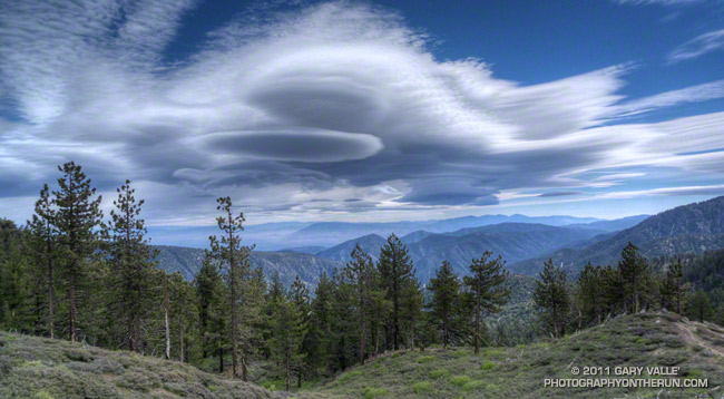
Complex of mountain wave clouds to the north-northeast of Mt. Pinos

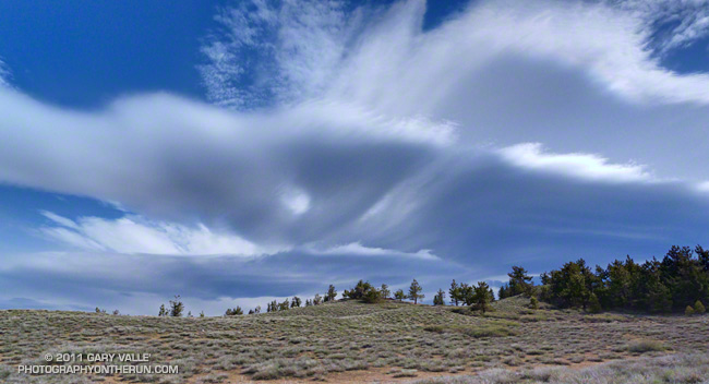
These unusual clouds are a complex of lenticular clouds to the north-northeast of Mt. Pinos, photographed this morning from near Mt. Abel. They were produced by strong south-southwesterly winds blowing across the east-west oriented Emigdio and Tehachapi mountain ranges, north of Los Angeles. Here’s another view of these clouds from near the summit of Mt. Pinos.


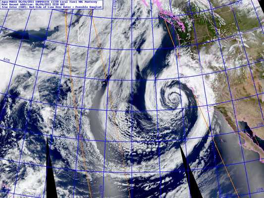
The winds were associated with the circulation of an unseasonably strong low pressure system off the California coast. The storm system has resulted in measurable rain as far south as Santa Barbara County, and new rainfall records for the date were set in San Francisco, Paso Robles and Santa Maria.


The photographs were taken during a blustery out and back trail run from Mt. Pinos to Mt. Abel on the Vincent Tumamait Trail in the Chumash Wilderness. At the start of the run, the temperature at the Chula Vista trailhead (8400′) on Mt. Pinos was a chilly 39°F. In exposed areas the wind speed was 20-25 mph with gusts to around 50 mph.

Other than the potential for deadfall, the wind wasn’t too bad in the trees. The Vincent Tumamait Trail was in the best condition I’ve seen in years.

Update June 6, 2011. The low that was off the Central California coast Saturday and most of Sunday and an associated cold front set a new rainfall record for June 5 at Santa Barbara Airport, and produced a few sprinkles and showers in the Los Angeles area.

Some related posts: Mountain Weather, Lenticular Wave Clouds, Mt. Pinos – Mt. Abel Out & Back

Clouds, Canyons and Wildflowers

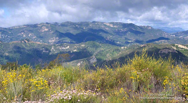
View west across Topanga Canyon to Saddle Peak from viewpoint near the Temescal Ridge Trail.

Southern California doesn’t get much rain in May. On any given day in the middle of May the chance of measurable rain in Los Angeles is around 4 in 100. Overnight we’d beat those odds, and this morning the weather looked more like March than May.

The view above, across Topanga Canyon to Saddle Peak, is from a popular viewpoint off the Temescal Ridge Trail (Fire Road #30), about 4 miles into the Trailer Canyon – Trippet Ranch Loop. This 17 mile route is one of several excellent trail runs that start at Marvin Braude Mulholland Gateway Park in the San Fernando Valley. It crosses the Santa Monica Mountains on the Temescal Ridge and Trailer Canyon fire roads, dropping down to Pacific Palisades, and then returns by way of Santa Ynez Canyon, Trippet Ranch, and the Musch & Garapito Trails.

Here’s an interactive Cesium browser View of a GPS trace of my route.

Some related posts: Garapito Trail Green, Garapito Trail Runs

Mt. Waterman Pines & Clouds

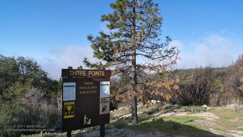
Last Sunday started with light rain in western Los Angeles County, and on the drive to the San Gabriel Mountains, I wondered if the Three Points trailhead would be above the mile deep cloud layer. It was, but barely so, and at the start of the run a couple of scuddy clouds hung over the parking lot.


These were soon left behind, and while the lowlands dealt with damp, dreary weather, my Easter morning run on the PCT continued toward Cloudburst Summit under a bright sun and mostly cloudless skies.

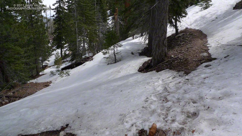
I encountered my first patch of snow a little past Camp Glenwood, on a shaded north-facing slope at about 6300′, nearly three miles into the run. With the above average snowpack, it would have been a surprise not to find some patchy lower elevation snow. Much more snow could be seen on the higher elevation slopes, and the big question was: how much snow would there be on the Mt. Waterman trail?

From Cloudburst Summit I continued eastward on the PCT to Cooper Canyon — one of the most idyllic places in the San Gabriel Mountains. Snowmelt had increased the streamflow, and to start the climb to Buckhorn, two creek crossings were required. It was cool enough that if I could avoid it, I didn’t want to soak my shoes. On the other hand I would rather have wet shoes, than fall bodily into a creek trying to keep them dry. A makeshift trekking pole helped prevent either scenario. Cooper Canyon Falls was spectacular.


On a Summer day this route can be quite warm, and I usually top off my Camelbak at Buckhorn Campground. Good thing it was a cool day — Buckhorn Campground was closed and the water in the campground was turned off. It looked like the Forest Service was doing a major revamp of the campground.

From the campground I still couldn’t tell if the Mt. Waterman trail was going to go. There was a lot of snow on the north-facing slopes, but I was betting it wasn’t going to be as choked with snow as it looked. Worst case, I could turn around, so I decided to continue until there was some reason not to.

There was some snow, and at one point I left the trail to avoid a particularly steep snow slope. About a mile from Hwy 2, the trail worked up onto a broad east-facing ridge, and from that point the trail was mostly free of snow.


No sooner had the snow issue been resolved, when clouds began to spill over the ridges and increase overhead. I knew — or at least thought I knew — that other than decreasing the visibility and temperature, these clouds shouldn’t be a problem. Even so, I was very glad to know the terrain and route well, and have some additional gear in my pack.

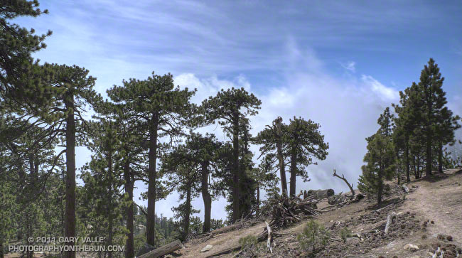
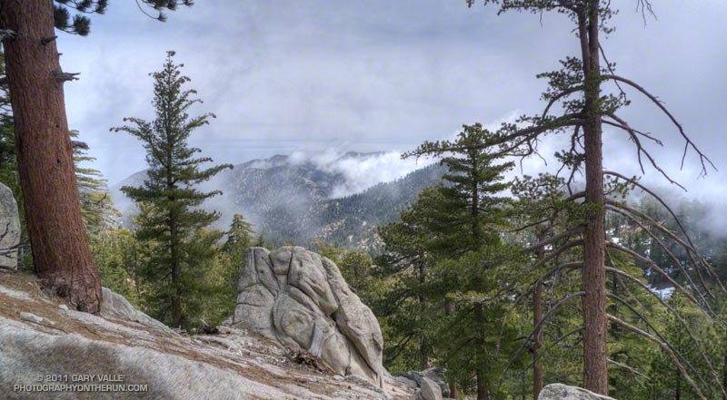
The title photograph is from the upper section of the Mt. Waterman trail. The clouds are in the deep canyon between east ridge of Waterman Mountain (8038′) and Twin Peaks (7761′).

Some related posts: Cooper Canyon Cascade & Falls, Manzanita Morning