Jogging east on the Forest Trail, I stopped to take in the sights and sounds of the early morning. A chorus of bird songs filled the canyon, oblivious to the roar of a passing jet. There was the familiar “honking” of Canada geese and the happy improvisations of a spotted towhee, but also several other birds I could not identify.
Curious to see what Merlin Bird ID would find, I started the app and watched as it matched the songs of a red-winged blackbird, yellow warbler, ash-throated flycatcher, northern house wren, and yellow-breasted chat.
Continuing along the trail, I rounded a corner where some fallen trees had been cleared and was surprised to see someone else hiking toward me.
“You know this trail doesn’t go anywhere,” He commented.
I told him I knew, but I just liked being on the trail.
That’s the thing, a trail doesn’t have to “go somewhere.” If you are open to what it tells you, a trail can take you on a journey beyond its start and end. On a trail, you can explore and experience the wonders of Nature and all that is around you.
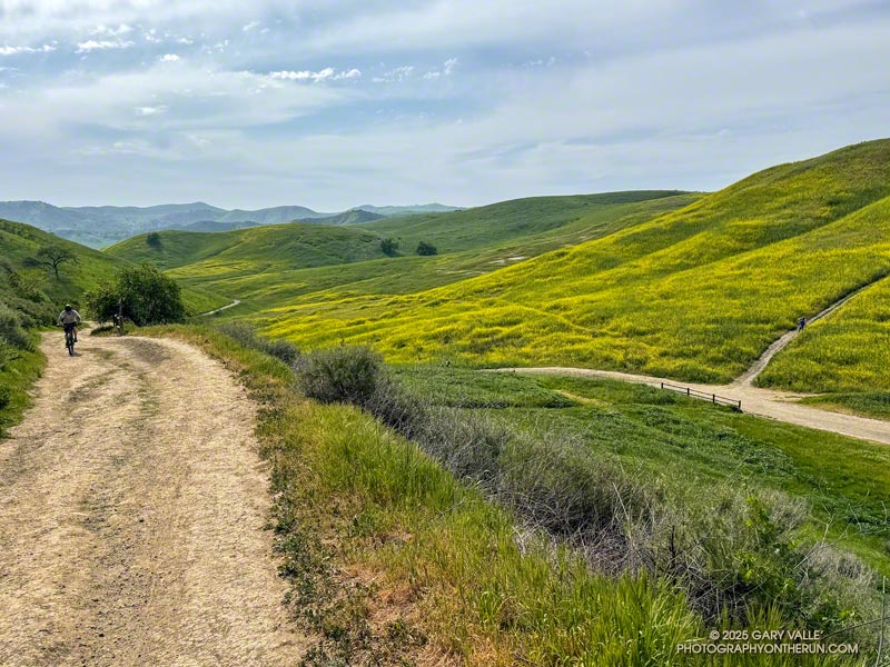
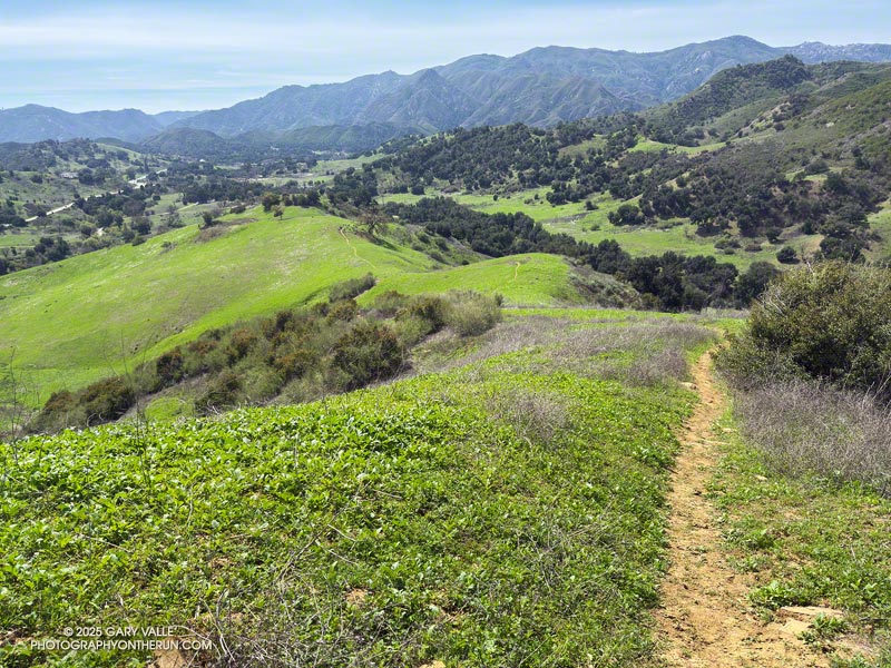
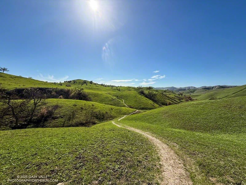
The Forest Trail is one of the special trails of Malibu Creek State Park. I often include it when doing more well-known and popular routes, such as the Bulldog Loop and Phantom Loop.
Earlier, I’d used the Cistern, Lookout, and Yearling Trails to run through Reagan Ranch to the parking area near Mulholland Hwy and Lake Vista Drive. Frost covered the grass near the top of the Cage Creek Trail. I’d dressed for what the temperature would be later in the morning, and my hands complained of the cold.
From the parking area off Lake Vista Drive, an indistinct trail leads south along a fence line and private property to a steep SCE service road. The dirt road can be followed to the western trailhead of the Lake Vista Trail. Once on the trail, it’s about a tenth of a mile up to a pretty overlook of Malibou Lake.
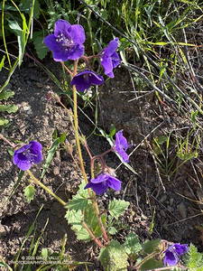
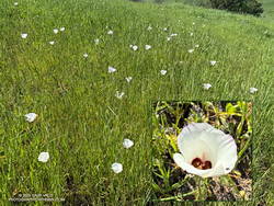
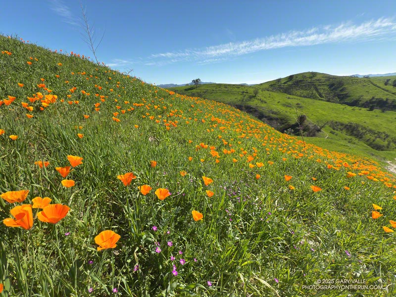
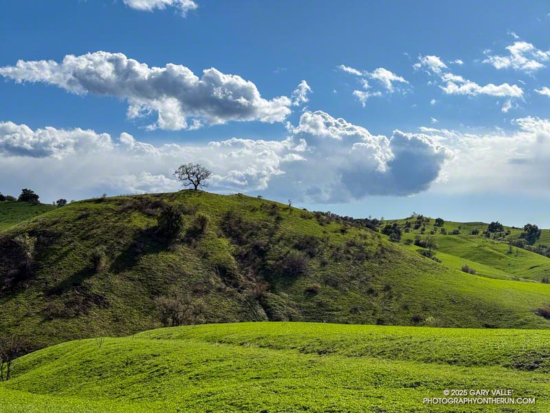
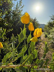
From the overlook, the Lake Vista Trail winds in and out of ravines on the north side of “Lake Vista Butte” as it descends to the Deer Leg Trail. This stretch of trail is home to one of the largest populations of hummingbird sage I have seen on a local trail. The aromatic, distinctly-colored, large-flowered member of the Mint Family stands out along the trail. Also blooming on the Lake Vista Trail were bush poppy, stinging lupine, and Parry’s Phacelia.
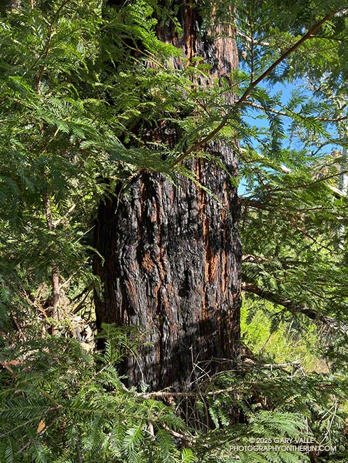
Back on the Forest Trail, I continued to count the coast redwoods that survived the 2011-2015 drought and the 2018 Woolsey Fire. In July 2016, I counted about sixteen redwoods, some of which were multi-trunked. At that time only one tree appeared to be dead. Today, I counted six surviving redwoods.
There are three solitary trees and three multi-trunked clusters of trees. Two of the solitary trees appear to be those originally planted in the Century Lake area more than 100 years ago. One old redwood is on the Crags Road Trail, near the start of the Forest Trail, and the other is on the north side of the Forest Trail, as it nears Century Lake.
A very young, naturally germinated redwood is found near the east end of the Forest Trail. The three multi-trunked family groups appear to be intermediate in age and could also be naturally germinated.
Some related posts:
– Forest Run
– Lake Vista Ridge, the Forest Trail, and September Wildflowers
– Redwoods, Raptors, and the Phantom Loop
– Malibu Creek State Park Redwoods: Fighting the Drought
– The Malibu Creek State Park Redwoods Are Dying