Category Archives: southern california

Run to the Cheeseboro Remote Automated Weather Station

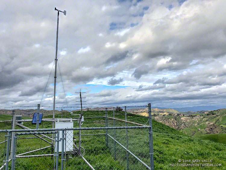
Cheeseboro Remote Automated Weather Station (RAWS)

This afternoon’s run was to the Cheeseboro Remote Automated Weather Station (RAWS). The station is perched on the ridge between Las Virgenes Canyon and Cheeseboro Canyon, along the Cheeseboro Ridge power line service road.

It is about 5 miles from the Victory Trailhead of Upper Las Virgenes Canyon Open Space Preserve (formerly Ahmanson Ranch) and one of many good runs from that trailhead into the Cheeseboro – Palo Comado Canyon area.

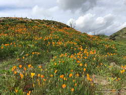
California poppies in Las Virgenes Canyon

Runs in the Ahmanson Ranch area are especially scenic at the moment. Above average rainfall has produced lush green growth in the oak grasslands following the Woolsey Fire. Many of the oaks are beginning to sprout new leaves and poppies and other wildflowers are beginning to bloom. Today there was a nice show of poppies in Las Virgenes Canyon at the connector leading to Cheeseboro Ridge and Cheeseboro Canyon.

Operated by the BLM and NPS the Cheeseboro RAWS (CEEC1) has been in service since September 1995. The station was in the area burned by the 2005 Topanga and 2018 Woolsey Fires and was active throughout each event.

Following are some of the extremes recorded by the station:

• Highest hourly temperature was 115 °F on July 7, 2018.
• Lowest hourly temperature was 32 °F on December 12, 1998.
• Maximum hourly wind speed was 37 mph on October 22, 2007.
• Maximum wind gust was 92 mph on January 6, 2003.
• Maximum daily precipitation was 5.01 inches on February 12, 2003.

So far this rain year (July 1 to June 30), 15.67 inches of rain has been recorded by the station.

Related post: Southern California Trail Running Temps

Downtown Los Angeles Rainfall Surpasses Normal Rain Year Total

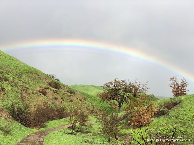
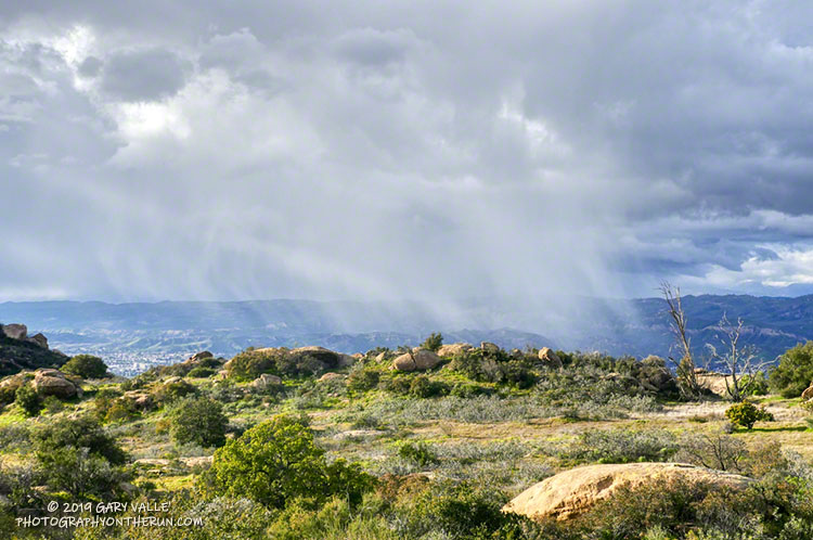
Rainbow at Ahmanson Ranch a few months after the Woolsey Fire.

Yesterday’s atmospheric river event increased the rainfall total for Downtown Los Angeles (USC) since July 1 to 15.50 inches, surpassing the normal annual Rain Year total of 14.93 inches. Last year, as of February 14, Los Angeles had only recorded 1.97 inches of rain.

As a result of all the wet weather, we’ve also been much cooler this December – February than last year. Since December 1 the average high at Downtown Los Angeles has been more than 7 degrees cooler than last year.

The Climate Prediction Center has just issued an El Nino Advisory for the presence of weak El Nino conditions in the equatorial Pacific. However, it is the interaction of the ocean and atmosphere that matters, and the atmosphere is behaving as if stronger El Nino conditions are present.

For the date, Los Angeles rainfall is at about 165% of normal and there’s still more than two months left in the rain season. We’ll see if the wet trend continues!

The title photo is from a  recent run at Ahmanson Ranch. This open space area was burned in the November 2018 Woolsey Fire.

Rocky Peak 50K 2018

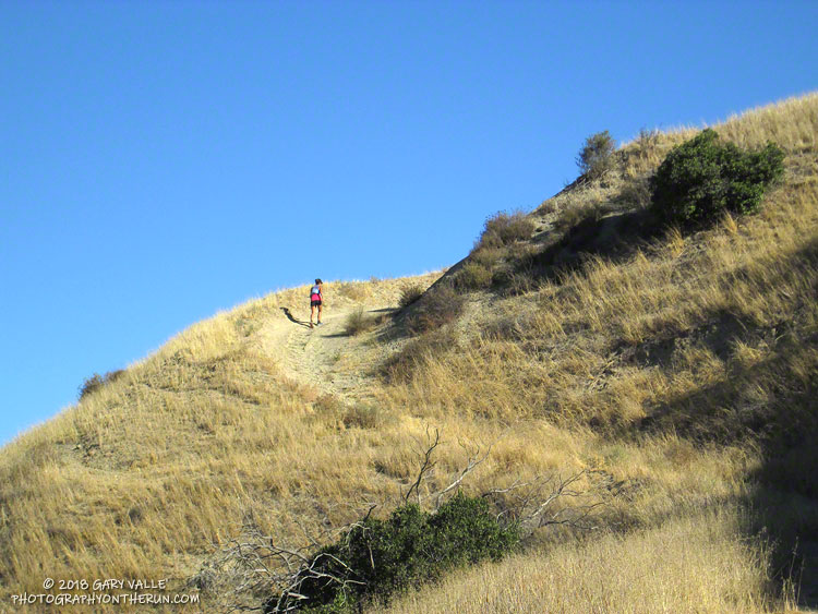
Runner ascending Hot Dog Hill during the 2018 Rocky Peak 50K.

I had the date wrong! I thought the Rocky Peak 50K was the Saturday following the Skyline to the Sea trail marathon and had decided I wouldn’t be able to run it. When I got back from Santa Cruz, I checked some upcoming races on UltraSignup and discovered Rocky Peak was on October 20th, rather than the 13th. That meant there would be 12 days between the races, instead of 5.

Five days or 12, my legs weren’t quite on board with the idea, and they had a point. With about 6000′ of elevation gain/loss, steep ups and downs, and rocky roads and trails, Rocky Peak is not an easy 50K. I had a few more days to convince them, and hoped my legs would come around.

It did help that the Start line is about 10 minutes from my front door. I’ve hiked, run and explored the Rocky Peak area for more years than I care to admit, and was very excited when Randy & Sarita Shoemaker organized the first Bandit Trail Run in 2009. The 50K was added in 2011 — the additional mileage gained by doing the Chumash – Las Llajas loop twice! The out and back to Tapo Canyon was substituted for the second loop in 2013. The Rocky Peak 50K course is essentially the same as the 2013 – 2016 Bandit 50K courses.

The week before the race, I still had to go through the pretense of not knowing if I was going to enter. My legs continued to complain during training runs, and it looked like yet another heatwave was going to peak on Friday or Saturday. None of that really mattered because I’d already decided I was going to run. Thursday, I signed up; and at dawn on Saturday, I toed the Start line in Corriganville, hoping that Rin Tin Tin might come to my rescue.

I encountered no valiant German Shepherds on the “warm-up loop” around Corriganville, and much to my leg’s chagrin soon faced the mile-long, 860 foot climb up the Corridor Trail to Rocky Peak Road. One of my main takeaways from doing this course many times is that you can go up the Corridor Trail climb too fast, but it’s almost impossible to do it too slow. At least that’s what my legs tell me. It’s been my experience that going a little slower on this first steep climb pays significant dividends later in the run. That seemed to be the case again this year.

The weather was nearly identical to last year’s race with moderate Santa Ana winds and warm temps. (The high at the bottom of the Chumash Trail was 88 °F.) Like last year, the low humidity and wind kept the “feels like” temperature relatively comfortable for most of the race. But somewhere around mile 27, near Rocky Peak, the wind stopped and things got toasty. Maybe not middle of the summer hot, but warm enough to notice it.

All in all, the run went well. For sure, my legs were a little tired from Skyline to the Sea. I was a bit slower running back up the canyon from the Tapo turnaround and also going up Las Llajas Canyon. But I can’t complain. I had no cramping (yahoo!) and felt good nearly all of the run.

Many thanks to Trail Run Events, LLC and New Basin Blues Running Club who co-managed the race, all the volunteers, and to Ventura County SAR. For more information see the Trail Run Events web site and Facebook page. All the 50K and 30K results are posted on UltraSignup.

Here are a few photos taken along the way.

Some related posts: Bandit 50K 2014, Bandit 50K 2013, Bandit 50K 2011, Bandit 30K 2009
Up, Down and Around on Mt. Pinos’ Tumamait and North Fork Trails

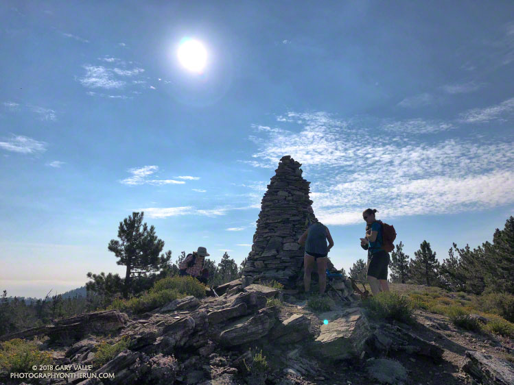
A Chumash spirit tower on Sawmill Mountain, near Mt. Pinos

Yellows, reds and greens marked its location, but the seep above Sheep Camp was dry. As I approached the camp, the uppermost campsite was empty and I wondered if the spring at the camp was also going to be dry. If it was, I was going to have to revise my running plan.

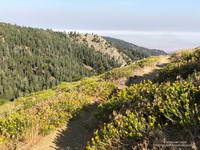
Rabbitbrush blooming along the Tumamait Trail near its eastern trailhead on Mt. Pinos.
Near the start of the Tumamait Trail on Mt. Pinos.

So far the run had gone well. From the Chula Vista parking area (8350′), I’d run the service road up to Mt. Pinos (8831′), then followed the Tumamait Trail west to Mt. Abel Road. Along the way Sawmill Mountain (8818′)and Grouse Mountain (8582′) had been short side trips; and from the end of the trail, the summit of Mt. Abel (8280′) was a short hike up through the pines.

Compared to the triple-digit temperatures in the parched West Valley — as high as 117 °F this July — the temps on the Tumamait Trail had been wonderfully cool. The hotter than average weather seems to have become the new norm, and also — unfortunately — the resulting wildfires.

On a run here Last July, smoke from a fire near Lake Cachuma had nearly enveloped Mt. Pinos. Today several fires were burning in California, and once again smoke could be seen in the valleys and canyons to the north of the mountain.

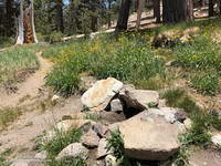
The North Fork Trail and small spring at Sheep Camp.
The small spring at Sheep Camp.

To get in a bit more mileage and elevation gain the next part of my run was supposed to be an out and back to the sun-baked environs of Lily Meadows (6600′). That wasn’t going to happen if the spring was dry.

When I stopped at the wildflower-accented spring I could see that there was the barest thread of water trickling from the pipe. It didn’t look like much, but it filled my 18 oz. cut-off water bottle in about three minutes. I gulped down most of the first bottle and it took a couple more to fill my Camelbak. In about 10 minutes I was headed downhill.

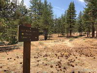
The North Fork Trail at Lily Meadows Camp.

The North Fork Trail is far less used than the Tumamait Trail. That’s part of the fun. Thunderstorms had not only wiped away any previous tracks, but had severely eroded some sections of the trail as well.

With the loss of elevation came an increase in temperature. By the time I reached Lily Meadows Camp the temp was in the 90s. This time of year there were no lilies or meadows at the campsite, but there was a nice grove of Jeffrey pines and a new camp table!

I didn’t spend much time down there. There was a hill to climb and the cool temps along the crest were only about an hour away.

Some related posts: Pinos to Abel Plus, Thunderstorm, Vincent Tumamait Trail

Lemon Lilies, Tree Rings and More Heat Training on the Three Points Loop

Lemon lily and sneezeweed at Waterman Meadow in the San Gabriel Mountains.

There seems to have been some carryover from the wet rainy season we had in 2016-17 to this year. The 2017-18 rain season was very dry — the third driest on record at Downtown Los Angeles — but seeps at Waterman Meadow, along the Burkhart Trail below Buckhorn were still wet. In general plant growth along trails has been more than I expected in such a dry year.

Old growth Jeffrey pine on Waterman Mountain killed in the 2009 Station Fire.
Old growth Jeffrey pine killed in the 2009 Station Fire. Click for a closer view.

Wet and dry periods can be seen in the growth rings of the large Jeffrey pine along the Three Points – Mt. Waterman Trail just west of the Twin Peaks Trail junction. A more careful count of its rings totaled about 500. No matter how careful the count, because of the various anomalies that occur with tree rings, some form of crossdating is usually required to confidently assess the age of a tree. Even so, it is clear this was an old tree.

The first few miles of the loop were gloriously cool, but by the time I reached Cooper Canyon and was working up to Cloudburst Summit on the PCT, the sun beat down on me in a familiar refrain.

Here are a few photos taken on the loop.

Related post: Cool Weather, Old Trees, Grape Soda Lupine and a Restored Trail