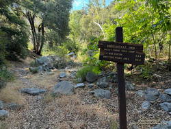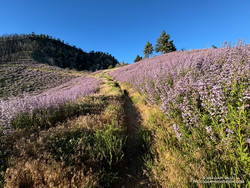
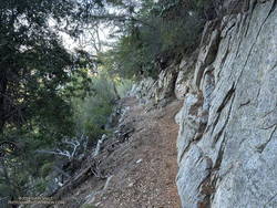
It was great to be back on the Rim Trail! One of the most underappreciated trails in Angeles National Forest, the 3.6 mile trail was closed in October 2020 because of the Bobcat Fire. It finally reopened in June of this year (2024).
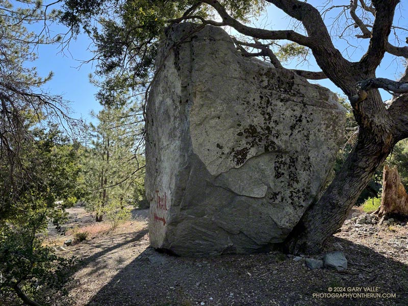
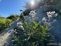
This morning’s run had started at the top of the Kenyon Devore Trail from the same turnout on Mt. Wilson Circle Road as two weeks before. This time, instead of running down Mt. Wilson Road, I had descended a short distance on the Kenyon Devore Trail and turned right (east) on a half-mile long trail that connects to the main Mt. Wilson parking lot. From there I followed the “Authorized Vehicles Only” road toward the observatory about a quarter-mile to the signed start of the Rim Trail. Interpretive signs along the road note some of the area’s plants and trees.
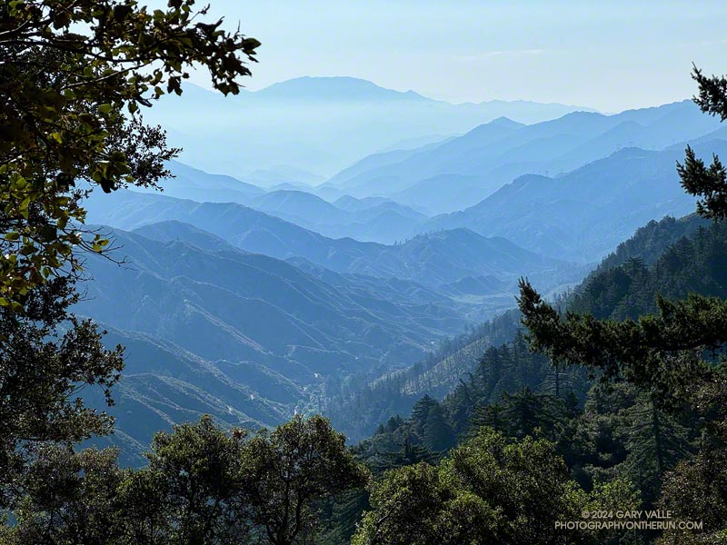
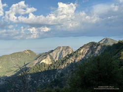
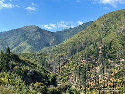
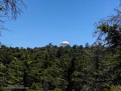
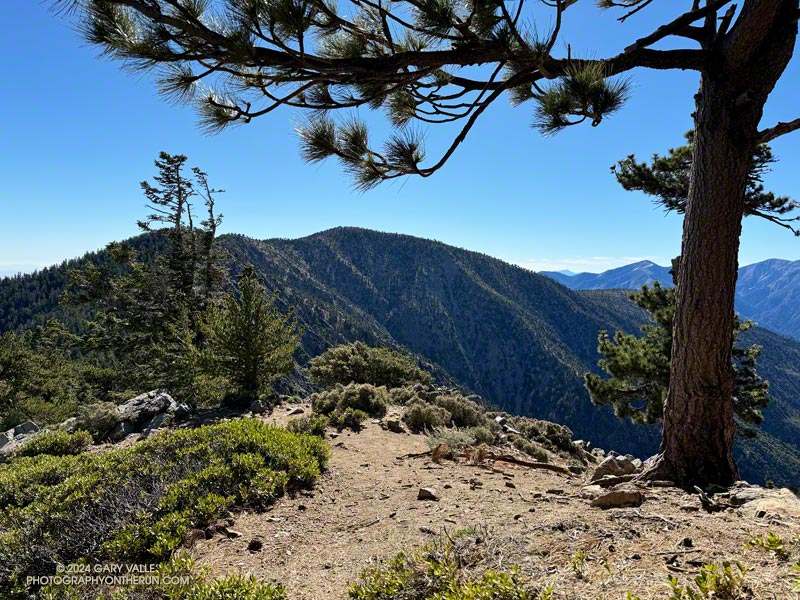
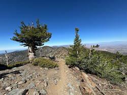
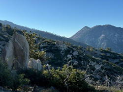
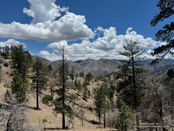
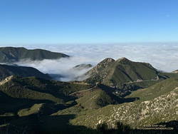
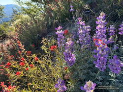
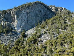
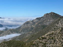
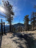
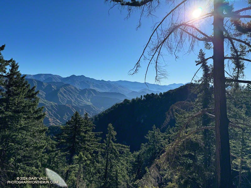
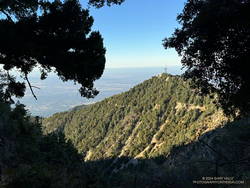
When done as a counterclockwise loop from Mt. Wilson, the Rim Trail switchbacks down Mt. Wilson’s steep northeast ridge and then contours along the north side of the West Fork – Santa Anita Canyon divide to Newcomb Pass. Along the way are spectacular views of the Mt. Wilson Observatory complex, the canyons of the West and East Forks San Gabriel River, and the high country of the San Gabriel Mountains. On a clear day, Saddleback, San Jacinto Peak, and San Gorgonio Mountain can be spotted from the trail. To the north, the vast Mojave desert stretches out from the foot of the mountains.
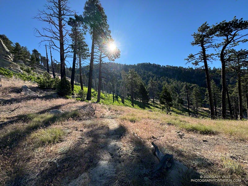
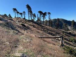
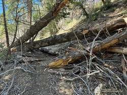
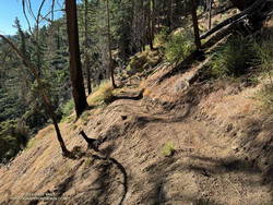
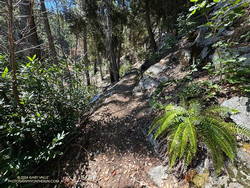
Even though it was closed for nearly four years, the Rim Trail was in remarkably good shape. The trail dips into and out of the Bobcat burn area as it works down the ridge and along the divide. Much of the trail was unscathed, but some sections were severely burned. Sadly, this beautiful bigcone Douglas-fir was destroyed.
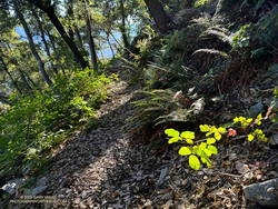
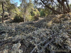
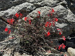
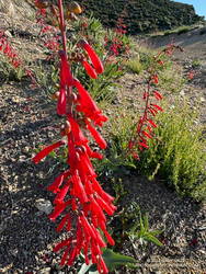
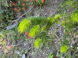
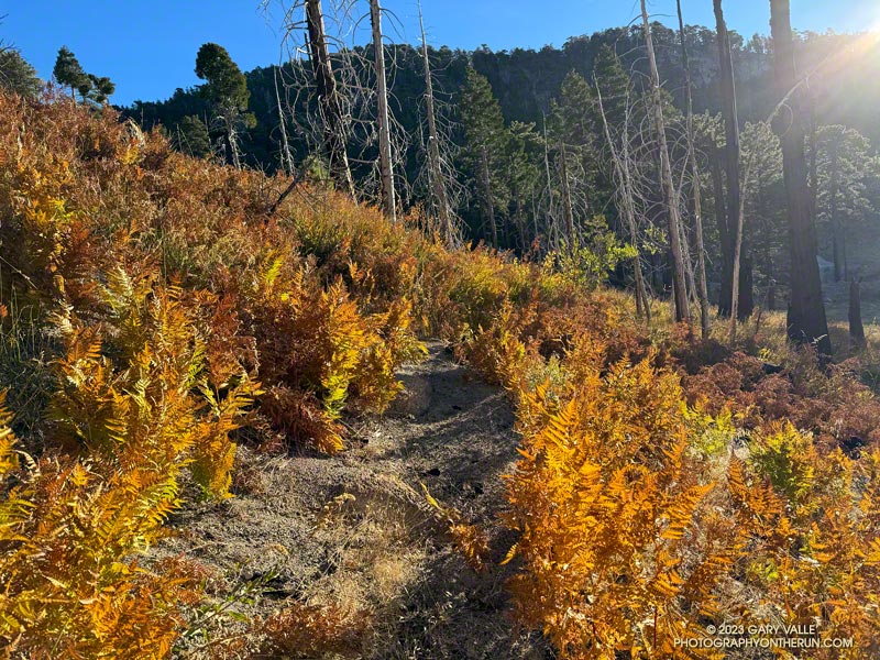
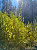
Poodle-dog bush marks the stretches of trail burned in the Bobcat Fire. With care, it was generally avoidable, as was the abundant poison oak found on some sections of the trail. (Like poison oak, Poodle-dog bush causes a rash in many people.)
On the way down the Rim Trail, I’d debated which route to take from Newcomb Pass. One option was to run over to Newcomb Saddle and take Rincon-Redbox Road to West Fork. Another was to follow the Gabrielino Trail to Devore Camp and then West Fork. The single-track route through Devore Camp is a more interesting option and is usually my choice.
As I neared Newcomb Pass, I was surprised to see recent trailwork on the isolated stretch of trail. This was a hopeful sign the Gabrielino Trail between Newcomb Pass and Devore Camp might be in decent shape.
At Newcomb Pass, all signs of any trailwork ended. I looked at the first few overgrown yards of the trail connecting to Newcomb Saddle and thought, “I’ll give the Gabrielino Trail a try.” I could see an ill-defined path where the Gabrielino Trail should go and tried to follow it. No go. A lower path also appeared to be a dead end.
I enjoy the challenge of following little-used trails, but today was more interested in running than bushwhacking. Retracing my steps, I returned to the trail connecting to Newcomb Saddle.
It wasn’t as bad as I initially thought. The trail was a bit overgrown, but was on an old roadbed and pretty easy to follow. (Later, I discovered I had a bite from a larval tick, which I’m sure I picked up in the Newcomb Pass area.)
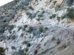
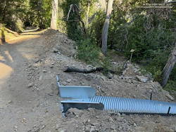
Rincon-Redbox Road was wide open and in great shape. When I reached the point where the Gabrielino Trail crosses the road, neither direction on the trail looked particularly promising. Up the trail looked overgrown, and down the trail was blocked by a newly constructed drainage conduit. The Gabrielino Trail is a National Recreation Trail in a National Monument, so should (hopefully) be fully restored.
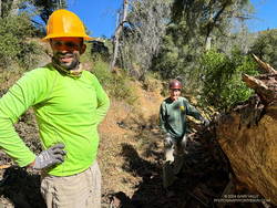
Running down Rincon-Redbox Road and lost in thought, I was somewhat startled to see a red truck round a bend. I was even more surprised when it turned out to be race director and trailmaster Gary Hilliard. Gary and Jose were out the weekend before the AC100 trying to chase down a couple of logs — one reported to be blocking access to the Newcomb Saddle aid station and another on the Gabrielino Trail “a half-mile from West Fork.”
I’ve had the privilege of running in all of Gary’s ANFTR/Mt. Disappointment races. No one works harder or is more dedicated to the trails of Angeles National Forest and trail running. I didn’t recall a log blocking the road, but it would only take Gary a few minutes to drive up to the aid station and be sure. With cruise control on and lost in thought, I continued running down to West Fork.
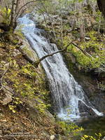
At West Fork, I stopped at “the pipe” to get water and cool off. From here, it’s a memorable 5-mile, 2600′ climb to the top of the Kenyon Devore Trail.
I’d been here two weeks before. The Rim Trail – Newcomb Saddle – Kenyon Devore Loop is the mirror image of the Mt. Wilson – Red Box – Kenyon Devore Loop. Two weeks ago it was around 10 degrees warmer and humid. I’d bonked on the climb, and wasn’t looking to repeat that experience today.
This morning – except for a couple of rattlesnakes – the run from West Fork couldn’t have gone better! I even jogged some of the less steep sections of the Kenyon Devore Trail!
Here’s a high-resolution, interactive, 3D-terrain view of the Rim Trail – Newcomb Saddle – Kenyon Devore Loop. The Gabrielino Trail option through Devore Camp is also shown.
Some related posts:
– A Place to Ponder Things Near and Far
– A Morning Thunderstorm, Debris-Covered Trail, Fast-Paced Fire Road, and Tough Climb on the ANFTR 25K Course!
– Running Mt. Wilson’s Rim Trail
– GSU Mt. Wilson CHARA Telescope Array