Category Archives: weather|southern california

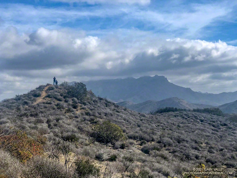
Running Between the Clouds

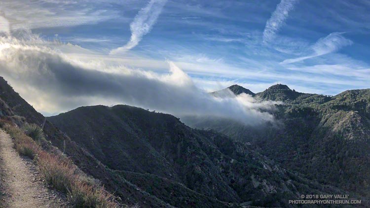
San Gabriel Peak, Mt. Disappointment and clouds from the Strawberry Peak Trail.

Unlike most of the rainy season, March rainfall has generally been above average in Los Angeles, Ventura and Santa Barbara Counties. Last Saturday I’d enjoyed a run in Pt. Mugu State Park following a few days of wet weather, and today my outing would be in the wake of the strongest storm to affect the  area since January.

I was in the San Gabriel Mountains, and doing a get-your-hear-rate-up combo run I did last year — ascending San Gabriel Peak and Strawberry Peak from Red Box. The duo are the two highest peaks in the Front Range of the San Gabriel Mountains and have been popular for many years.

The storm had been a warm one, with high snow levels, and I was surprised to find the morning temperature at Red Box in the mid-30s. The surface low and trough associated with the storm were still along the West Coast and the circulation was creating a strong southwesterly flow. This was pushing mostly benign mid-level clouds into the valleys and mountains. More picturesque than threatening, the clouds imparted a high mountain flavor to the surroundings.

Last year I’d done San Gabriel Peak first, so today I started with Strawberry. It’s the more difficult of the two peaks. The route to its summit is about a mile longer; it has a bit more elevation gain; and it includes a stretch on rough, steep, unmaintained trail. Of course, that’s part of its appeal.

The clouds were ever changing. While Strawberry Peak escaped most of the clouds, San Gabriel Peak was often obscured.

Here are a few photos taken along the way.

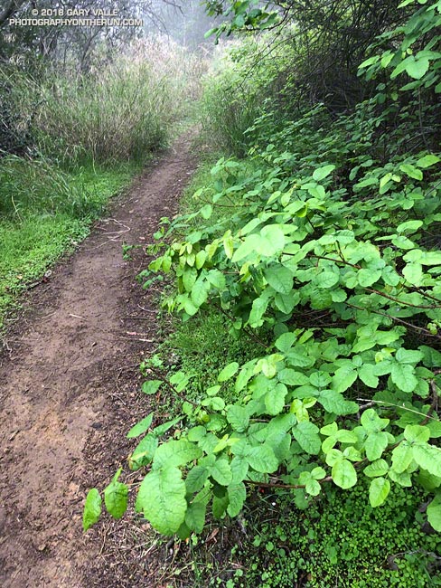
Poison Oak Along the Backbone Trail

Poison Oak Along the Backbone Trail

Even though rainfall in the Los Angeles area is way below average this rain season, some plants along our local trails — such as this poison oak — are flourishing.

Flowering poison oak along the Backbone Trail.
Flowering poison oak. Click for larger image.

The growth of plants is dependent on a mind-boggling mix of interrelated factors. Maybe it was the rain in January in combination with the unseasonably warm weather in January and February. Or maybe there was some carryover in vitality from last year’s wet rain season. Or maybe it was something else. Whatever the case, poison oak in the Santa Monica Mountains seems to be doing very well this year!

The title photo is of poison oak along the Rogers Road segment of the Backbone Trail. It was taken March 10, 2018. Watch for overhanging branches!

Some related posts: Sweet Smell of Poison Oak, Find the Poison Oak, Large Poison Oak Leaves

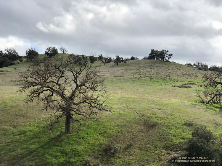
Leaving Winter Behind

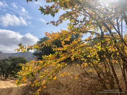
Valley oak, sun and clouds. Photography by Gary Valle'.

The wind blew in erratic gusts and a few cold raindrops fell against my bare arms and legs. To the north and west were more active cells, and I could see the telltale gray-white curtains of heavy rain just a couple miles away. I’d extended my run, just to enjoy the energetic feeling.

Much of this Winter it has been dry and warm in Southern California, with only a pittance of rain in the key months of December and February. It hasn’t been just a little dry — July through February was the second driest in Los Angeles on record.

But by the vagarities of Mother nature, a shift to a wetter weather pattern has occurred in the Eastern Pacific, bringing much-needed rain to California. While it won’t erase the rainfall deficit in the Los Angeles area, some rain is definitely better than none!

Los Angeles Waiting for Rain, Again

Los Angeles Waiting for Rain, Again

Once again Southern California is facing another very dry rain year. Since July 1, Downtown Los Angeles (USC) has recorded only 1.97 inches of rain. This is more than 8.5 inches below normal.

At this point it appears likely the rainfall recorded at Los Angeles from July 1 – February 28 will be the second driest for that period on record. If we don’t see some significant rain in March, we could be contending with 2006-2007 for the driest rain year on record.

Several weather models have been advertising a change to a wetter weather pattern for the West Coast and Southern California. At one point the ECMWF was forecasting several inches of rain in the Los Angeles area around March 1-2. This morning’s ECMWF run was far more stingy with the wet stuff, and precipitation completely disappeared from the GFS forecast for that period.

Never fear, these forecasts will likely change again. Model skill more than a few days out is very poor. Next week we should have a better idea if the pattern change is real, or just more model hype.

Update March 1, 2018. With only 1.99 inch of rain from July 1 to February 28, Downtown Los Angeles (USC) did end February with the second driest rain year to date. Depending on whether 1911-1912 is included in the ranking, the water year to-date, beginning October 1, is either the second or third most dry on record. Now all eyes turn to the storm that is forecast to move into the Los Angeles area this evening. This morning the CNRFC 72 hr. QPF for the Los Angeles area ranges from around 0.75 – 1.0 inch in the basin and valleys to around 1.5 – 1.75 inches in the mountains. Higher totals are forecast in the Ventura and Santa Barbara areas. Check with the NWS Forecast Office Los Angeles for the latest weather forecasts, advisories and warnings.

Fallen Oak

A large valley oak along Rocky Peak fire road that toppled following five years of drought.

The fallen oak pictured above — one of the larger valley oaks along Rocky Peak fire road — toppled over in the summer of 2016 following five years of drought. Fire and drought are a natural part of the valley oak’s habitat and the trees have evolved to withstand ordinary variations in their environment. However, severe fires or extended droughts, or fire in combination with drought can overcome the tree’s defenses. The drought may have been the culminating factor in the felling of this oak, but fire and other factors may have also played a role.

Base of large valley oak along Rocky Peak fire road that toppled following five years of drought.
Base of large valley oak that toppled following five years of drought. Click for larger image.

According to the Fire Effects Information System (FEIS), the heart-rot fungus Armillaria mellea is usually present in valley oaks and larger oaks tend to be hollow or rotten in the center. The toppled oak was hollow near its base and its interior appears to have been blackened by fire. The FEIS describes instances where the decaying wood in the interior of older valley oaks could ignite in a fire, but leave the exterior bark uncharred.

What fire might have burned the tree? There are two possibilities: the 2008 Sesnon Fire and the 2003 Simi Fire. It probably wasn’t the Sesnon Fire — this photo of the tree, taken about a month after the Sesnon fire, shows little impact. I couldn’t find a photo of the tree following the Simi Fire, but photos taken nearby show a severely burned landscape. Ultimately, it appears fire and drought weakened the tree, accelerating its heart rot and weakening its roots to the point it could no longer support itself.

Photos of the fallen oak are from this morning’s foggy run along Rocky Peak fire road.

Related post: Ahmanson Blue Oak Succumbs to Climate ChangeChumash Trail – Sesnon & Simi Fires