A place to ponder things near and far, and to explore the unimagined.
From along the Rim Trail at Mt. Wilson Observatory.
Related post: GSU Mt. Wilson CHARA Telescope Array

A place to ponder things near and far, and to explore the unimagined.
From along the Rim Trail at Mt. Wilson Observatory.
Related post: GSU Mt. Wilson CHARA Telescope Array
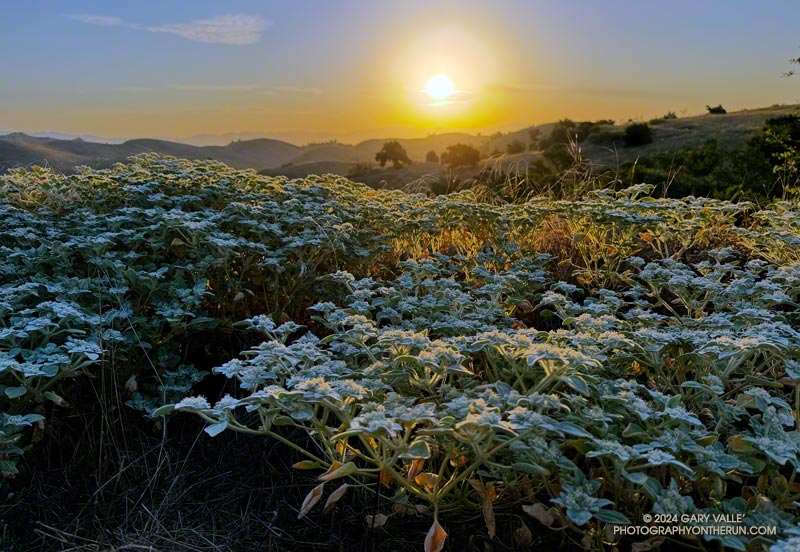
Doveweed (Croton setiger) on Lasky Mesa in Upper Las Virgenes Canyon Open Space Preserve (Ahmanson Ranch).
Despite it’s weed-like appearance, doveweed is native to California. The plant is also known as turkey mullein.
Related post: Satwiwa Doveweed
In their forecast discussion for today, the NWS Los Angeles Oxnard commented, “A long-lasting and extreme heatwave will continue across the region, and especially the interior…” The high temperature was expected to range from 105 to 115 across the interior valleys, mountains and deserts.
I was doing the Trippet Ranch Loop from the Top of Reseda. The highs on the San Fernando Valley side of the Santa Monica Mountains were expected to be in the 90s. But keep in mind that’s essentially the temperature in the shade. In full sun, the temperature could be 10 to 15 degrees higher. When I reached the Hub, at 7:00 in the morning the in-the-sun temperature was already around 90 degrees.
Nearer the coast, temps were expected to be a little cooler. From the Hub, I could see why. A shallow marine layer had developed along the coast. A couple of miles later, as I neared Trippet Ranch, I descended into a bank of wonderfully cool fog. It wouldn’t last, but I enjoyed the coolness as I continued down to Trippet Ranch and around to the Musch Trail.
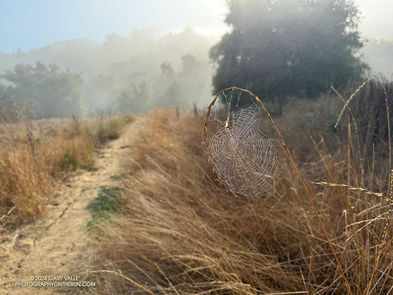
I hadn’t run very far on the Musch Trail when I came across a remarkable spider web. The spider had ingeniously bowed a flexible stalk of tall grass to build its web. This solution avoided having to span the web between two stalks. I also wondered if the added tension would make the web more efficient.
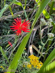
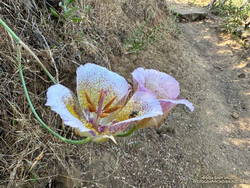
At Musch Camp, I topped off my water bottle and then continued working up the trail. Near a still-seeping vernal creek, a speckled-orange Humboldt lily bloomed brightly in a patch of poison oak.
From the camp, the Musch Trail climbs about 400′, in a bit over a mile, to the junction of Eagle Rock and Eagle Springs Fire Roads. A left turn here leads past Eagle Rock to the top of the Garapito Trail.
Other than the Bent Arrow Trail—which remains closed—the Garapito Trail is the “End of Reseda” trail most impacted by our back-to-back wet rain seasons. At times, washouts, debris flows, slides, fallen trees, and vigorously growing chaparral plants have made the trail nearly impassable. The Santa Monica Mountains Task Force worked tirelessly over the Winter to restore the trail.
Of course, the rain that caused all the problems on the Garapito Trail has also resulted in numerous wildflowers along that trail. Today, some of the most prominent were scarlet larkspur, scarlet monkeyflower, Indian pink, and Plummer’s mariposa lily. And, Garapito Creek was still trickling in July!
This high-resolution, interactive, 3-D terrain view shows the Trippet Ranch Loop (yellow). The track of the closed Bent Arrow Trail is shown in red.
Some related posts:
– Trippet Ranch Loop, Musch and Garapito Trails – February 2024
– Trippet Ranch Loop Plus Temescal Peak and Temescal Lookout
– Fogbow Near the Top of Hell Hill in Pt. Mugu State Park
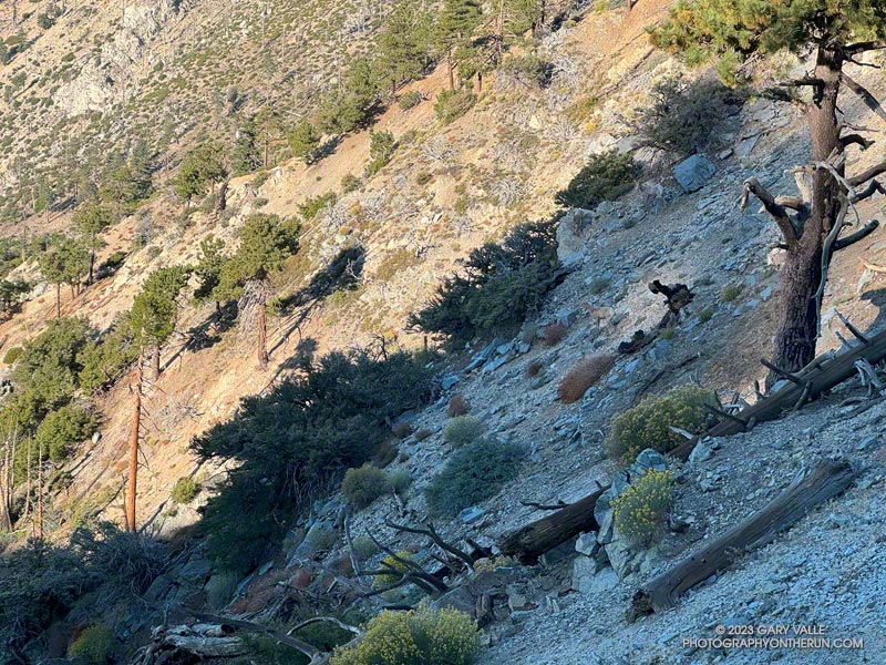
Had they not dislodged some rocks, I doubt I would have seen the three bighorn sheep in the photo above. They are easier to see in this zoomed-in photo of the sheep descending the rocky slopes just below Windy Gap (7,588′) in the San Gabriel Mountains. They crossed a brush-covered rib and disappeared from view.
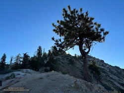
A few minutes after seeing the sheep, I reached Windy Gap and stopped to put my arm sleeves away. It had been cool at the trailhead — about 40 degrees — but the temperature had warmed as I worked up the trail. As its name suggests, the wind can be fierce at Windy Gap, but this morning there was almost no wind, foretelling nearly ideal weather for today’s adventure.
Windy Gap was still in shade, and the sun was just peeking over the ridge to the east. You couldn’t tell, but the eclipse had already begun. The eclipse would be nearly total in parts of Oregon, Nevada, Utah, New Mexico, and Texas. In the Los Angeles area, the moon would obscure more than 70% of the sun’s disc.
From Windy Gap, I headed east on the Pacific Crest Trail toward Mt. Hawkins. From time to time, I would stop and check the progress of the eclipse using eclipse sunglasses. In sunny areas, I looked for lensed images of the sun in the shadows of trees but didn’t see any. Having needles instead of leaves, conifers don’t produce the myriad images of the eclipsed sun seen under trees with leaves.
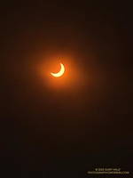
A few minutes before the eclipse reached maximum, I took this photo of the eclipse with my iPhone, using eclipse glasses as a filter.
With nearly three-quarters of the sun obscured, the light from the sun had become enfeebled. The feeling was more than that of a cloud passing in front of the sun. I stopped and listened… to nothing. It was eerily quiet. No birds called or sang, and only chill zephyrs of wind wafted about the area. Somehow, the sun was broken.
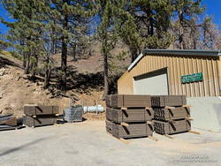
As the eclipse slowly waned, I continued east in the corrupt light, past Mt. Hawkins and Throop Peak, to the PCT’s junction with the Dawson Saddle Trail. In what seemed fitting for the day, instead of continuing to Baden-Powell, I turned left and headed down the trail toward Angeles Crest Highway (Highway 2).
Why? Angeles Crest Highway was closed from Red Box to Vincent Gap, transforming Dawson Saddle into one of the more isolated areas of the Angeles National Forest. I hadn’t been on the Dawson Saddle Trail in years, and with Highway 2 closed, it would be a quirky way to climb Mt. Lewis. Instead of having one of the shortest approaches in the San Gabriels — a few feet from the CalTrans shed at Dawson Saddle — it would involve a trail run of nearly eight miles just to get to the base of the peak.
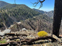
The eclipse was nearly over when I reached the bottom of the Dawson Saddle Trail on Highway 2. From the trailhead, I ran up an empty Angeles Crest Highway a short distance to Dawson Saddle. Mt. Lewis’ south ridge was accessed from here.
Only about a half-mile long, the south ridge isn’t technical, but the first third is steep and rocky. The elevation gain from the saddle to the summit is about 500′. Offset from the crest of the San Gabriels, the flat summit of Mt. Lewis has unique views of the crest extending from Mt. Baden-Powell to Mt. Islip and beyond.
After a few minutes enjoying the summit, I turned southward and began working my way back down to Angeles Crest Highway, up to the PCT, over to Windy Gap, and back down to the trailhead in the Crystal Lake Recreational Area.
Here are a few photos taken along the way.
Some related posts:
Solar Eclipses, Saros Cycles and Chumash Rock Art
Boney Mountain Eclipse Run
It’s Mid-July And There Is Still Snow in Los Angeles County!
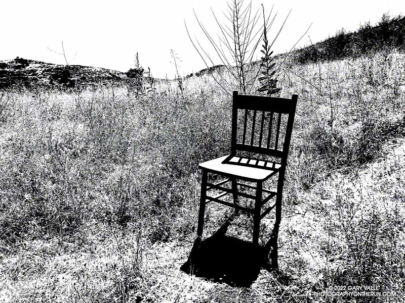
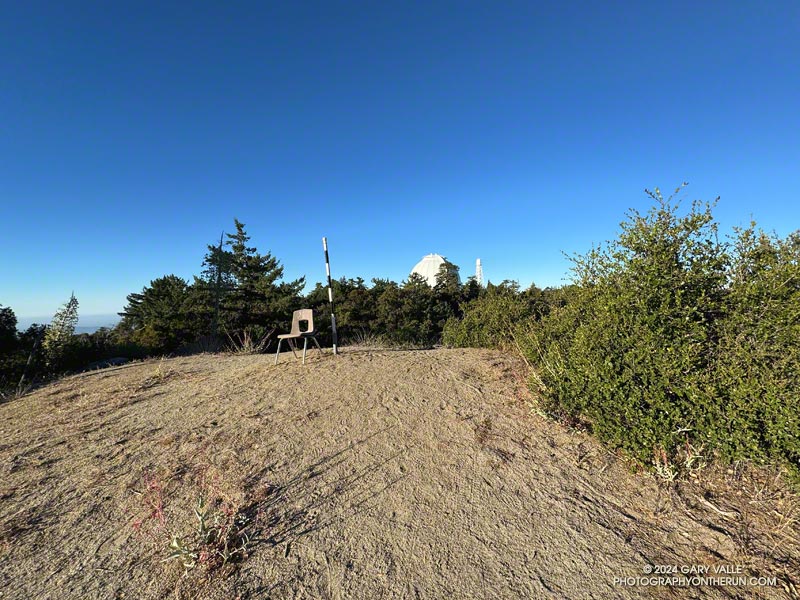
It was a little past 3:00 in the afternoon when I passed this straight-backed wooden chair along an Ahmanson Ranch trail. The Tempe thermometer clipped to my pack read over 100 degrees.
It gets REALLY hot at Ahmanson Ranch (Upper Las Virgenes Canyon Open Space Preserve). In the direct sun the temperature can be 10°F-15°F hotter than in the shade, and there is very little shade at Ahmanson. In-the-sun temperatures of 100°F or more are common in the Summer but can occur just about any time of the year.
There are two weather stations I use to get an idea of the weather conditions at Ahmanson Ranch — the Cheeseboro RAWS and Valley Circle Estates Weather Underground station. Weather station thermometers are usually shielded from the direct sun by a white, ventilated enclosure. The Cheeseboro RAWS includes a measurement of the “Fuel Temperature.” This is generally a better indication of the temperature experienced by a runner, hiker, or rider in the direct sun.
Update on July 29, 2023. Rounding the temperature to whole degrees, my West Hills weather station recorded a high of 100°F, or higher, for 15 consecutive days this July (7/13/23 to 7/27/23). The station is about three miles from the Victory Trailhead at Ahmanson Ranch.
Some related posts: Some Summers Are Hotter than Others, Run to the Cheeseboro Remote Automated Weather Station
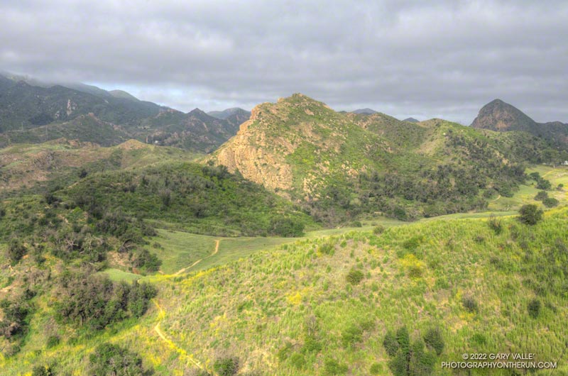
I checked my watch — it was 6:13 a.m. I was part way up the Phantom Trail in Malibu Creek State Park, and had stopped to see if I could hear the launch of the Falcon 9 at Vandenberg Space Force Base.
I’d hoped to see the launch, but low clouds obscured the view skyward. Even so, there was a chance that a thin spot in the cloud deck might reveal the ship, as it propelled its classified payload into orbit.
All was quiet, except for the dawn songs of waking birds and the occasional car or motorcycle on Mulholland Highway. But then, just above the ambient sounds, I heard it — a constant dull roar somewhere to the west. I scanned the sky for any hint of an exhaust plume.
None was evident, but I suspect that if I had looked at the right spot at the right time, I might have glimpsed the rocket’s sun-bright flame. After searching and listening for a couple of minutes, I resumed working up the trail.
Ka-boom! Even though my attention had turned to the trail, the distinctive, two-syllable report of a sonic boom broke my reverie. It had to be the Falcon 9 booster returning to the launch site. The boom wasn’t very loud at my location, but some living closer to Vandenberg apparently mistook the launch and sonic boom as an earthquake.
The remainder of the run went well. I’d run the Ahmanson 12K the day before, and the Phantom Loop (clockwise) was a good follow-up to that run.
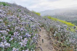
I was a bit surprised just how overgrown some sections of the trail were. Mustard wasn’t the only plant crowding the trail, phacelia was as thick along the Phantom Trail as I’ve seen.
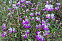
With the cloudy, cool start to the day, the poppies were mostly closed, but several other species of wildflowers added color along the trail. Among them were Elegant Clarkia, Owl’s Clover and Chinese Houses.
Note: A little higher in the Santa Monica Mountains and farther to the west, Jonathan Stewart captured this video of the NROL-85 launch from Boney Mountain.
Some related posts: Phantom Trail: Trade-offs of a Wet Rainy Season; Redwoods, Raptors, and the Phantom Loop; Ladyface Via the Phantom Trail and Heartbreak Ridge