Category Archives: running|adventures

San Gorgonio Mountain: Dry Lake – Fish Creek Saddle – Dollar Lake Loop

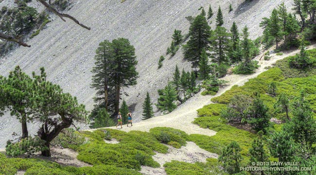
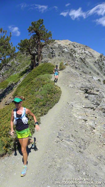
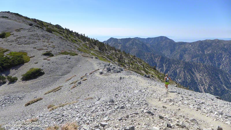
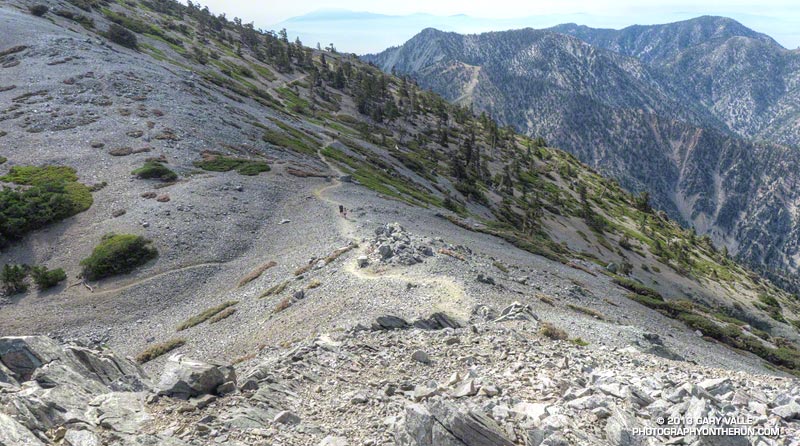
Sky High Trail on San Gorgonio Mountain

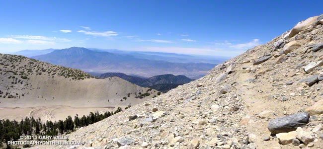
Sky High Trail a Mile from the Top of San Gorgonio Mountain

Time flies when you’re having fun, and except for kayaking the upper Santa Ana River and a ski ascent or two, the last time I’d been on the north side of San Gorgonio was before Poopout Hill closed in 1988. Curious to refresh my memory of the area and compare a South Fork trail run to those on the Forest Falls side of the mountain, I started thinking about what would be an interesting route to do.
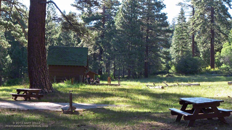


Running in shorts and short sleeves, I’d left the South Fork trailhead about 7:30 and was now about a half-hour into the run. Up ahead was the turn-off to Poopout Hill and not far beyond that the wilderness boundary. I’d been doing a mix of fast hiking and running and enjoying the morning. A black-capped chickadee had stopped on a branch to say hi, and a Steller’s jay was complaining loudly from the top of a pine. Earlier I’d passed Horse Meadows, an iconic scene with sunlight filtering through the trees, green meadows and rustic brown cowboy cabins.
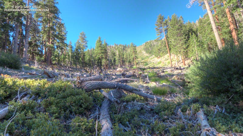


About a quarter mile past Poopout Hill my jaw dropped as I rounded a corner and was suddenly in a sizable avalanche path. A tumult of interleaved  firs and pines lay in a hundred yard wide swath that extended thousands of vertical feet up the mountain.

This avalanche likely occurred within a few days of January 23, 2010, following (or during) a multi-day rain and snow event in Southern California. Over the seven day period from January 17 to January 23, the rain gauge at Mill Creek recorded 7.82 inches of precipitation. According to a NWS report, Mt. Baldy recorded 7′ of snow at the 8600′ level. The source area of the avalanche appears to have been in a cirque near peak 10,230.
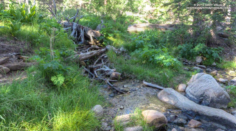


Working up the hill toward South Fork Meadows I stopped to chat with a Ranger, who checked my wilderness permit and mentioned a group of day hikers had left South Fork very early and were ahead of me.

At the Dry Lake/Dollar Lake fork at South Fork Meadows I turned left onto the Dry Lake Trail. I already heard water, so one question was answered — there was plenty of water at South Fork Meadows. Comments on the Water Info Collector had said Lodgepole Spring was low, but “flowing OK,” so the plan was to top off my water there.
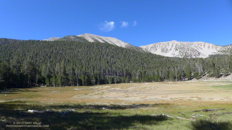


Dry Lake was indeed dry, but the meadow in its place and backdrop of sculptured mountains was still impressive. The next stop was Lodgepole Spring; I just had to find the use trail leading to it. This was one of those situations where it’s important to note the details of the topography. There are two areas that people camp at Dry Lake (noted on a sign) and the use trail is in the drainage above the second, more southerly camp.
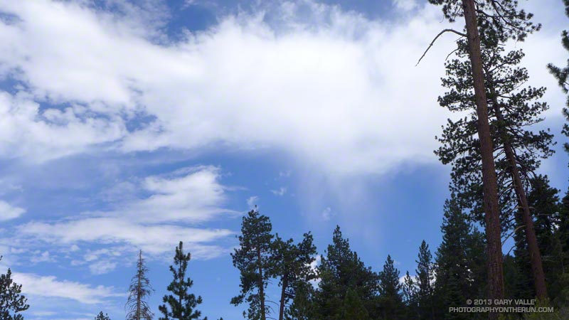


After talking to some campers I followed the trail around the east side of Dry Lake and into the primary camping area.  After working up the drainage a couple tenths of a mile I found a small spring flowing out of some willows. Rather than taking the time to use a UV pen, I used a makeshift cup to fill a one liter  collapsible water bottle with a built-in filter. Hopefully that, and what was left in my pack, would get me up to the peak and back down to South Fork Meadows.
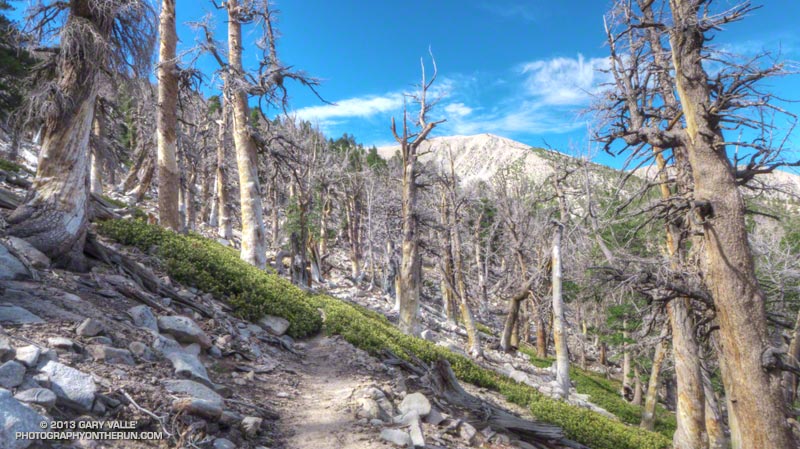


The “use” trail from Lodgepole Spring was not too difficult to follow and it took about 30 minutes to get up to Fish Creek Saddle. The trail between Fish Creek Saddle and Mineshaft Saddle more or less follows the 9880′ contour line and was reasonably runnable. It passes through an area of lodgepole pines killed by the mountain pine beetle.
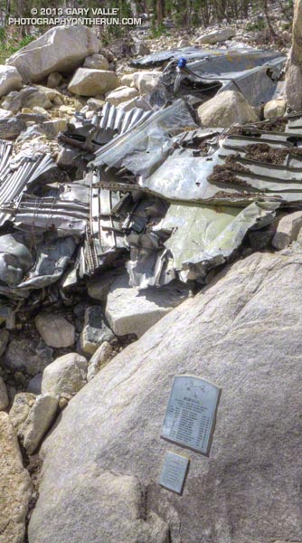


In a few minutes I rejoined the regular Dry Lake route at Mine Shaft Saddle and started up the increasingly scenic Sky High Trail. About a mile up the trail from Mine Shaft Saddle is wreckage and a memorial to the personnel of a Douglas C-47 that crashed in a snowstorm on December 1, 1952. The C-47B “Gooney Bird” was a military version of the venerable DC-3 airliner.

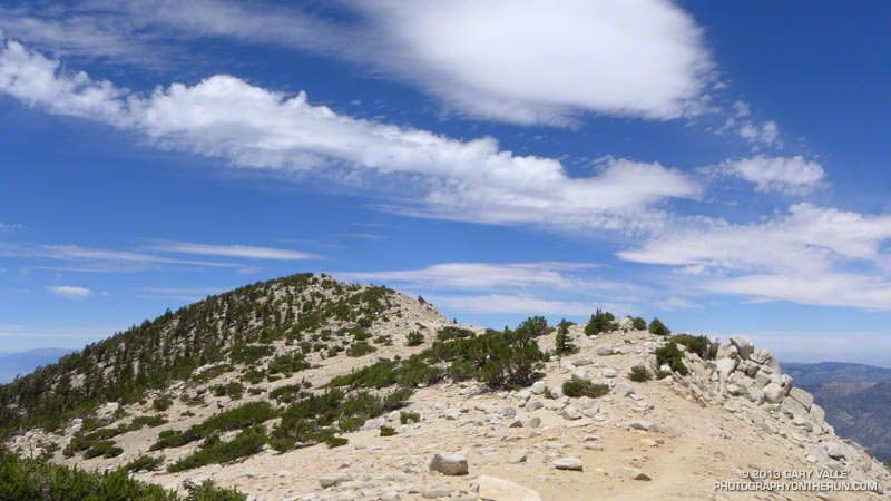
The Sky High Trail earned its name as it switchbacked up to 11,000′, and wrapped around the south side of Gorgonio’s summit. From the  airy trail there are stunning views past The Tarn to Banning Pass and Mt. San Jacinto. The Sky High Trail joined the Divide Trail a little east of the Vivian Creek Trail junction and in a couple of minutes I was jogging east across the summit plateau to the blocky summit of San Gorgonio Mountain.

According to the Trail Mileage Handout (PDF) from the San Gorgonio Wilderness Association the descent from the summit by way of Dollar Lake Saddle and the Dollar Lake Trail is about 10.7 miles — which is a little shorter than the 11.4 miles listed using the regular Dry Lake route. (Mileage doesn’t include the side trip to Lodgepole Spring.) Even so, I think the Dry Lake route is the preferred route from South Fork Meadows. It’s more scenic and aesthetic.


The running was technical, but good down to Dollar Lake Saddle. Below Dollar Lake Saddle the trail was often very rocky. This lightning-scarred pine was on one of the last switchbacks before South Fork Meadows. I was happy to get down to South Fork Meadows, get some water, and get onto a better trail! By about 3:30 pm I was back at the car and enjoying an ice cold bottle of water.

Some related posts: Falls Creek Loop 2012, San Gorgonio High Line 2009

Mt. Baldy Take Two

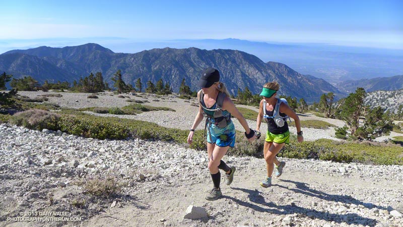
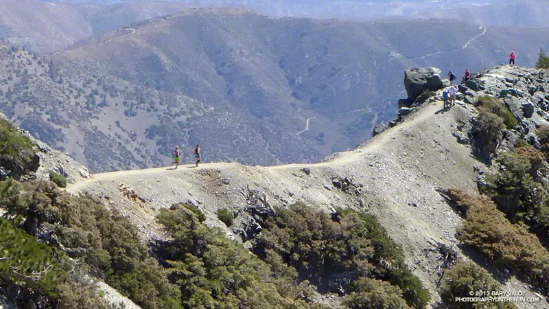
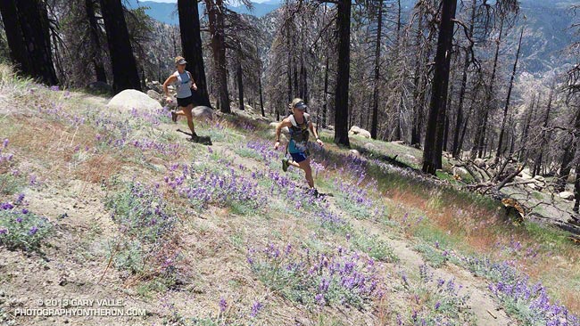
Runners on the trail to Telegraph Peak

What better place to be running on a hot July day in LA than the highest point in Los Angeles County — Mt. Baldy! Last Saturday I’d done the Ski Hut loop on Mt. Baldy (officially Mt. San Antonio), and today I was doing another variation of the loop, this time with Skye and Ann.

Note that I use the term “with” here somewhat loosely. They’ve been training for the TransRockies Run this August, and putting in a lot of time and miles on the trails. How much? Today’s run was just part of a 90+ mile, 22,000′ gain week for Ann.

Even though both of them had done hilly 23-24 mile runs the day before, I still had to try and find ways to slow them down:

“You know the route-finding on the next section of trail is a little tricky…”

or

“Let me get a little ahead so I can get a photo of you guys coming up the trail…”

or

“I’m not sure I got that rock out of my shoe. Can you guys hang on for a second…”

or

“Pleaseee slooow dooownn…”


On the way up we did a variation of the Ski Hut/Baldy Bowl Trail that goes to the site where two Grumman F6F-5N Hellcat fighters crashed in a snowstorm March 21, 1949. Seeing the wreckage was a somber reminder of just how unforgiving mountain weather can be. It also brought to mind the image of a similar big-engined, vintage, single-prop fighter doing a spectacular, banked, high speed pass (just) over the summit of Mt. Baldy not long after I’d crossed the Run-to-the-Top finish line a few years ago. Today there wasn’t going to be a problem with the weather, or for that matter, anything else.

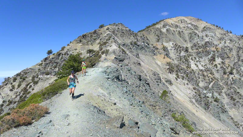
After topping out on Baldy we ran over to West Baldy and back, and then continued down the Devil’s Backbone Trail to the Notch. The running from the Baldy-Harwood saddle down to and along the Devil’s Backbone is scenic and technical, and just about as good as mountain trail running gets.

We refilled our hydration packs at the Notch restaurant and then continued on to Thunder Mountain and Telegraph Mountain. The view of Baldy from Telegraph was excellent and it was easy to see Baldy Bowl and the route of the Ski Hut/Baldy Bowl Trail. We’d already done most of the 6000′ of elevation gain we would do today, and about 3000′ of the loss. Now on the 6.5 mile descent from Telegraph to Manker Flat we’d get to do the other 3000′.

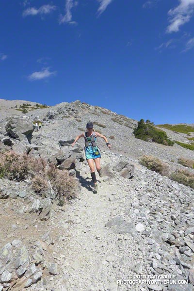
Here are few additional photos from the run. Click the image for more info and a larger image.


Near the Top


Descending Baldy


Above Harwood Saddle


Devil’s Backbone


Devil’s Backbone


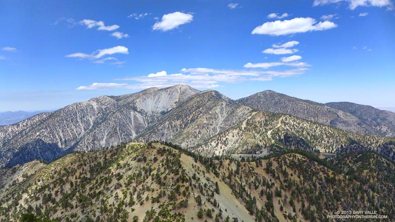
Baldy Peaks

Mt. Baldy Ski Hut Loop

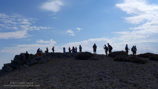
Hikers on the summit of Mt. Baldy

As might be expected on a holiday weekend, it was busy on Mt. Baldy. Hikers and runners were doing the peak by all the regular routes — the Ski Hut/Baldy Bowl, Devil’s Backbone, Bear Canyon/South Ridge and North Backbone trails.


I did a variation of the Ski Hut loop. This loop starts at Manker Flat (about 6160′) and ascends Mt. Baldy (10,064′) via the Ski Hut/Baldy Bowl Trail and then descends the peak using the Devil’s Backbone Trail and ski area service road. Along the way I also ran over to West Baldy (9988′) and Thunder Mountain (8587′). This variation is about 14.5 miles with 5000′ gain/loss vs 10.5 miles and 3900′ gain/loss for the basic loop. If you throw in Telegraph Peak, it adds another 3.5 miles and 1000′ of gain/loss.

The weather was spectacular with just enough clouds to make the sky interesting. Temps were comfortably cool on top, and although warmer down at the Notch, OK for running over to Thunder.

Some related posts: Back to Baldy, Mt. Baldy Run Over the Top, South Ridge Relic, Up & Down Mt. Baldy’s South Ridge

Three Points Loop Twice

Ann and Skye on trail 10W04, between Mt. Waterman and Three Points

Did the 20 mile Three Points – Mt. Waterman Loop a couple of times this month. The first time was during a heat wave similar to what we’re going through now. It was one of those days when you drive to the trailhead early in the morning, open the car door, and the “brisk” mountain air is a surprising 75 or 80 degrees. After doing the run I checked the temperatures recorded at nearby Chilao, and by 9:00 a.m. the temperature was already at 90°F.


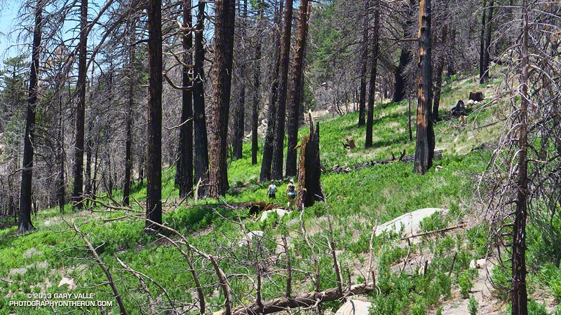
The title photo is of Ann and Skye on trail 10W04, between Mt. Waterman and Three Points. Here’s another photo of them in an area covered with bracken fern on a section of the trail that burned in the 2009 Station Fire. It doesn’t look like it, but they are on a trail!

Last weekend I did the loop again, and the temperature was about 15 degrees cooler. What a difference!

Some related posts: Three Points – Mt. Waterman Loop, Southern Pacific Rattlesnake on the Burkhart Trail, Three Points Loop Plus Mt. Waterman

Bigcone ENSO Prediction, Poodle-dog Bush Blues, and a Surprise on Kenyon Devore

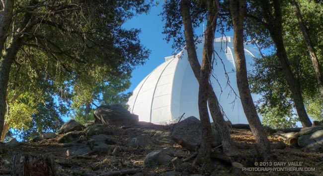
Morning sun on the dome of the Mt. Wilson Observatory

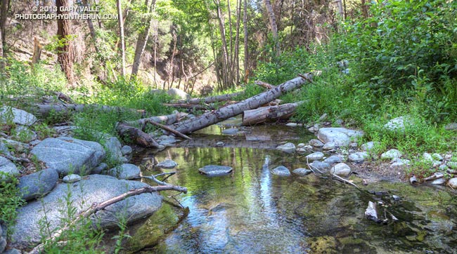
I’d paused to rinse my arms and legs, hoping to wash away at least a little of the poison oak and Poodle-dog bush I’d been unable to avoid. I was at a small spring part way up the Kenyon Devore Trail, doing a variation of a loop that my son and I had done a year before.

Today’s run had started on the top of Mt. Wilson, descended the Rim Trail to Newcomb Pass then followed the Gabrielino Trail down to the Rincon – Red Box Road. This year instead of taking the forest road down to West Fork, I stayed on the Gabrielino Trail and descended to Devore Camp, and then worked back upstream on the Gabrielino Trail past West Fork to the Kenyon Devore Trail.


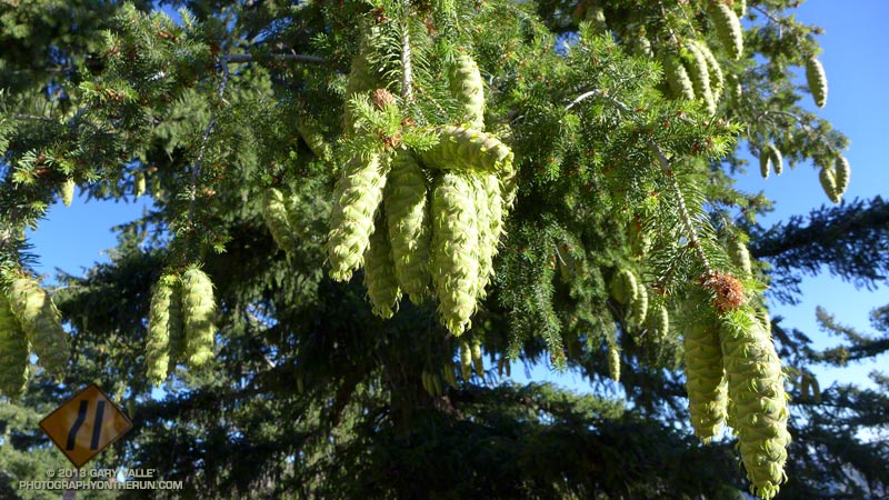
Driving up the Mt. Wilson Road I’d noticed that many of the bigcone Douglas-firs were heavily laden with cones. According to the Forest Service’s Silvics Manual bigcone Douglas-firs don’t often have bumper crops. Why now, following two subpar rain seasons, the most recent of which was unusually dry? Was the tree’s evolutionary knowledge playing the odds that a wet period of Southern California’s wet/dry ENSO cycle is a Winter or two away? At the moment La Nina or Neutral conditions look more likely this coming Winter, but the odds for El Nino could increase for the Winter of 2014-15.

Update June 25, 2018. El Nino conditions did emerge in late Fall 2014 and continued until the Spring of 2016. However, the drought in Southern California persisted and below average precipitation was recorded in both 2014-15 and 2015-16. It wasn’t until the 2016-17 rain season (during a weak La Nina) that Southern California received above average precipitation.


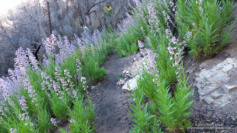
Like last year there was plenty of poison oak and Poodle-dog bush along the Rim and Gabrielino Trails. The poison oak was about the same as last year — mostly but not entirely avoidable — but the Poodle-dog seemed worse. I’d hoped that this year’s much lower than average rainfall would suppress the growth of Poodle-dog bush, but if anything it seemed more robust. Poodle-dog had overgrown the trail in several spots, its long stalks and sticky leaves overlapping the trail like a gauntlet of pikes. Contact was unavoidable.


It had been interesting to visit Devore Camp. The last time I’d been there was in March 2003 when Gary Gunder and I paddled from the West Fork San Gabriel River from West Fork to Hwy 39. We had been fortunate to be able to paddle the reach with few portages. With all the downed trees from the Station Fire it may be many years before big storms flush the river channel to point it can be paddled without logs being a constant problem.


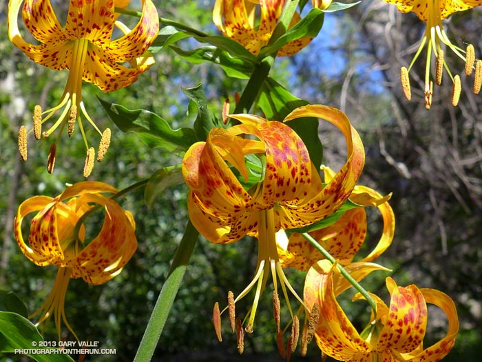
In addition to the expanses of Poodle-dog bush blossoms, a number of other wildflowers were in bloom, including Grinnell’s beardtongue, rose snapdragon, blackberry, pink, paintbrush, bush poppy, buckwheat, gilia, Keckiella and others. Along the West Fork the blossoms of spotted Humboldt’s lilies had beamed like yellow-orange paper lanterns scattered throughout an immense garden.

I cannot ascend the Kenyon Devore Trail without thinking about the Mt. Disappointment 50K/50M. During those races the little spring I was at now had always been a welcome source of “extra” water on the final climb to Mt. Wilson. The 2013 races have been cancelled, but are expected to return in 2014. We all know how tough R.D. Gary Hilliard is and look forward to next year’s race!

“Hey, are you on a trail?”

The voice seemed to come from nowhere. I looked to my left and right, but the trail was empty.

“Hey, up here!”


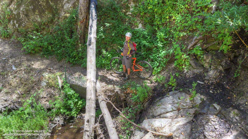
What the… I scanned the STEEP slopes above the creek, but still had a hard time locating the voice. After a moment of rustling, a helmeted figure emerged from the trees, carrying an orange mountain bike.

If you’ve done the Kenyon Devore Trail as part of the Mt. Disappointment races or at another time you probably recall the slippery stream crossing with the chain. The MTBer had apparently missed a switchback about a mile up the trail and descended directly down a ridge to the spring.

Update Friday, June 21, 2013. Lucked out with the Poodle-dog bush* and poison oak! Just one small spot of irritation on the top of an ankle, and it’s already almost gone.

*The taxonomic name for Turricula parryi (Poodle-dog bush) has changed to Eriodictyon parryi. The Jepson Manual: Vascular Plants of California, Second Edition (2012) has returned Turricula to the genus Eriodictyon, as originally described by Gray. According to the Wikipedia entry for Turricula (April 11, 2012), “… molecular phylogenetic analysis carried out by Ferguson (1998) confirms that Turricula should be treated as a separate genus within a clade (Ferguson does not use the term “subfamily”) that includes Eriodictyon, and also the genera Nama and Wigandia; Eriodictyon is the genus to which Turricula is closest in molecular terms, and is its sister taxon.” I use “Turricula” and “Poodle-dog bush” interchangeably as a common name.

Some related posts: Mt. Wilson Rim Trail – Kenyon Devore Trail Loop, GSU Mt. Wilson CHARA Telescope Array, Why Won’t My Smart Key Work?

After the Springs Fire: Checking on the Chamberlain Trail

Rock formations on Boney Mountain from the Chamberlain Trail

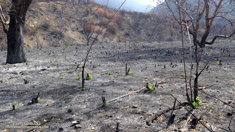
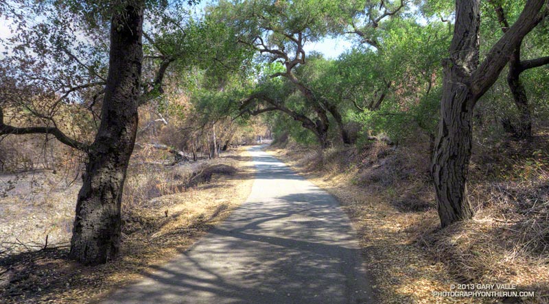
It had only been a week since I’d run here, but it was still easy to see recovery in Pt. Mugu State Park was continuing at a steady pace. Along the Hidden Pond, Sin Nombre and Blue Canyon Trails daubs of brilliant green contrasted sharply with the somber tones of black, gray and white left by the Springs Fire.


Hopefully recovery will continue at this pace. Most Southern California fires occur in Autumn, when there is a higher likelihood of rain in the weeks and months following the fire. The Springs Fire started May 2. A late season storm moved through the area May 6, helping firefighters to control the fire. The weather station at Circle X recorded about 0.4 inch of rain that day, but the area might not see that amount of rain again for 6-7 months.

In the coastal mountains the marine layer is also a source of moisture. Many of the area’s plants supplement rainfall by extracting water from the moist air. For example, the scalloped shape and surface of coast live oak leaves, and their spine-toothed margin promote condensation and collection of water. On a foggy day you’ll sometimes see a rain-like pattern on the ground under a live oak tree.


This morning the marine layer was in, and skies were partly to mostly cloudy. This was a good thing. Yesterday (June 1) Pierce College in Woodland Hills set a new high temperature record for the date of 104degF. With the hot weather and low humidity the Powerhouse Fire near Lake Hughes had tripled in size. The switch to an onshore flow would cool temps, increase the humidity, and help firefighters to control that blaze.

Today, in addition to checking on the progress of recovery, I wanted to check on the condition of Chamberlain Trail. The Chamberlain Trail is part of the Backbone Trail and the descent from Boney Mountain one of the best in the Santa Monica Mountains.


Last week, on the way to Serrano Valley, we’d seen that the fire had burned up to trail signs at the junction of the Chamberlain Trail and Old Boney Trail. It had been a close call. Brush at the base of the Chamberlain Trail had been scorched and burned, but the fire had not progressed upslope.

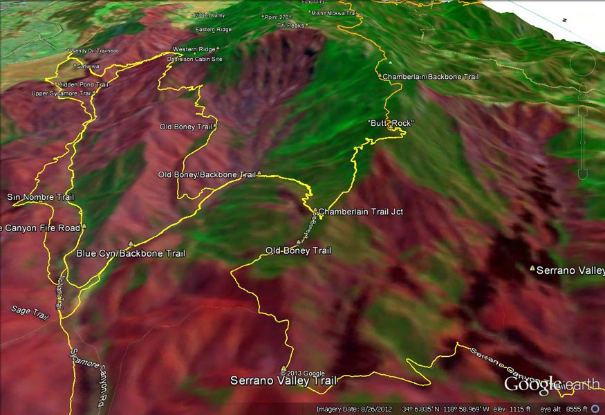
But what you can’t see from the junction is that the fire made a serious run up from Serrano Valley on the south side of Boney Mountain. This can be seen on this Google Earth snapshot of a NASA Landsat Satellite Burn Severity image, but from the image it’s hard to tell if the Chamberlain Trail was overrun or not.

Fortunately only a very short section of the Chamberlain Trail about a 0.4 mile from the Old Boney junction was burned.

Some related posts: A Run Through Pt. Mugu State Park, Springs Fire Burn Severity