Category Archives: drought

Upper Las Virgenes Creek Still Flowing in Mid-July

Upper Las Virgenes Creek, July 17, 2019.

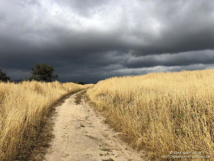
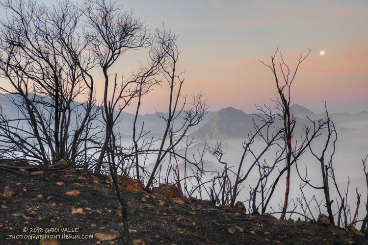
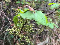
Following our five year drought, Downtown Los Angeles and many neighboring areas recorded above-average rainfall in two of the last three rain years. This has had obvious and observable effects on the area’s plants and animals and aided in the ongoing recovery of habitats affected by drought and wildfire.

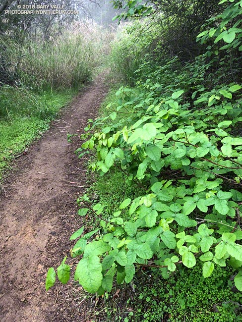
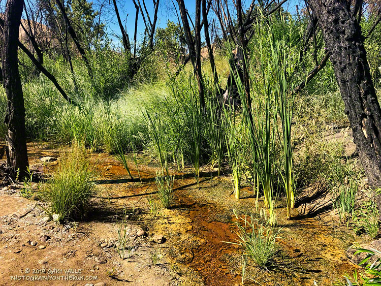
This is the first time since the Summer of 2011 that there has been flowing water in upper Las Virgenes Creek in mid-July at the crossing near the Cheeseboro connector. It’s just a trickle, but keep in mind that during some of the drought years, this section of upper Las Virgenes Creek never flowed.

Update November 19, 2019. Increased surface water and pooling in Upper Las Virgenes Creek. See the post Running Into Fall.

Update August 28, 2019.  The surface flow of Upper Las Virgenes Creek near the Cheeseboro connector is down to a bare trickle and some small pools.

Update August 7, 2019. Upper Las Virgenes Creek is still trickling.

Notes: In rain year 2016-17 Downtown Los Angeles (USC) recorded 19.00 inches of rain from July 1 to June 30, and in 2018-19, 18.82 inches. During the intervening rain year, 2017-18, only 4.79 inches was recorded.

Lasky Mesa: Dark Clouds and Sun

Dark Clouds and Sun. Photography by Gary Valle'.

From a run this May in Upper Las Virgenes Canyon Open Space Preserve (Ahmanson Ranch).

Normal rainfall for May at Downtown Los Angeles (USC) is 0.26 inch. This year Los Angeles recorded 0.81 inch in May, according to the NWS .

It was definitely wet and cool! Nineteen days were partly cloudy to cloudy. Ten days recorded at least a trace of rain. The average high was 70 degrees.

Oddly, during our recent drought, above normal May rainfall totals were recorded in 2011 (0.45 inch), 2013 (0.71 inch), and 2015 (0.93 inch). The most rainfall recorded in May at Los Angeles was 3.57 inches in 1921.

After the Woolsey Fire: Malibu Creek State Park Redwoods, M*A*S*H Site and Bulldog Climb

I’d done a long run the day before in Pt. Mugu State Park, so the plan for this morning was to do a short run and check out the Woolsey Fire impacts between Century Lake and the M*A*S*H site in Malibu Creek State Park.

In addition to checking the condition of the coast live oaks and other native trees, I was curious to see how the coast redwoods along the Forest Trail had fared. These trees were planted nearly a century ago and in recent years have struggled with the drought. Had they survived the fire?

It had been about a year since I had checked on the redwoods. The good news is that a few of them still appear to be viable. The bottom limbs on some of the trees were scorched, but I think they will be OK. Of the 16 or so redwoods, about five have died, about five are in poor shape, and five or six appear to be OK. There is one young naturally occurring tree that was severely scorched and may not survive. We’ll just have to see.

While there was some damage to the M*A*S*H site, the picnic tables, ambulance, and signpost made it through the fire. Some repairs will be necessary.

I was supposed to turn around at the M*A*S*H site, but you know how that goes. I wanted to see “just a little” of the Bulldog climb… and a little more… and a little more. I finally ran out of time about 2.5 miles up Bulldog Mtwy and headed back.

Even when you expect it, it is sobering to see areas of high soil burn severity. Thirty-six years of robust chaparral growth were just… gone. Also startling were the stream flows and debris flows that resulted from “only” about 1.5 – 2.0 inches of rainfall in early December. An atmospheric river event of the magnitude that caused the Malibu Creek flooding in February 2017 would be catastrophic.

A lot of work had been done on Bulldog Mtwy. It had been repaired and graded. Where there was still brush and trees along the road the branches had been trimmed!

Here are a few photos taken along the way.

Some related posts: Malibu Creek Flooding, Malibu Creek State Park Redwoods: Fighting the Drought

Finally — a Few Wildflowers!

Bush sunflower

As of March 1, Downtown Los Angeles had recorded only 1.99 inches rain over the past eight months. Most of that was recorded in one storm in early January. It was the second driest July 1 – February 28 on record.

Following the January storm, temperatures warmed up and stayed relatively warm for much of the next 30 days. In the West San Fernando Valley the high temperature hit 89 °F at Pierce College on February 4, and was over 80 °F for 12 consecutive days. Some plants (and some rattlesnakes) responded as if it was Spring.

In mid February Winter returned, with cool daytime temperatures and cold nights. There were Frost and Freeze Warnings on several nights.

In March the ridiculously resilient ridge of high pressure over the West Coast finally relented, resulting in above normal rainfall. It took awhile, but the March rain and April sun eventually produced an assortment of wildflowers.

Here are some wildflower photos from recent runs at Ahmanson Ranch, Malibu Creek State Park and Topanga State Park.

Poison Oak Along the Backbone Trail

Poison Oak Along the Backbone Trail

Even though rainfall in the Los Angeles area is way below average this rain season, some plants along our local trails — such as this poison oak — are flourishing.

Flowering poison oak along the Backbone Trail.
Flowering poison oak. Click for larger image.

The growth of plants is dependent on a mind-boggling mix of interrelated factors. Maybe it was the rain in January in combination with the unseasonably warm weather in January and February. Or maybe there was some carryover in vitality from last year’s wet rain season. Or maybe it was something else. Whatever the case, poison oak in the Santa Monica Mountains seems to be doing very well this year!

The title photo is of poison oak along the Rogers Road segment of the Backbone Trail. It was taken March 10, 2018. Watch for overhanging branches!

Some related posts: Sweet Smell of Poison Oak, Find the Poison Oak, Large Poison Oak Leaves

Rivas Canyon Eucalyptus

What is it? Photography by Gary Valle'.

These shallow channels looked like they might have been cut by a woodworker’s router. But they were cut — or I should say chewed — by Longhorned Borer beetle larvae, feeding on the cambium of a eucalyptus tree.

Fallen eucalyptus in Rivas Canyon. The grooves are from beetle larvae feeding on the cambium of the tree.

The tree was across the trail in Rivas Canyon. Not unlike the fallen oak on Rocky Peak, Southern California’s multi-year drought likely weakened the eucalyptus, making it susceptible to other pests.

The Rivas Canyon Trail connects Will Rogers State Park to Temescal Canyon. Today (and last weekend) I ran it as part of a long loop from the “End of Reseda” at Marvin Braude Mulholland Gateway Park.

Some related posts: Will Rogers – Temescal Loop, Will Rogers Western Ranch House, Downtown Los Angeles and San Jacinto Peak