Update July 22, 2024. The Poodle-dog bush along the PCT near Islip Saddle has been cleared by Gary Hilliard and the AC 100 Trail Team!
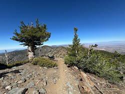
When I reached the summit of Mt. Baden-Powell (9,399′), it was empty, save an opportunistic raven who was evaluating the chances that the Larabar I was eating might fall to the ground.
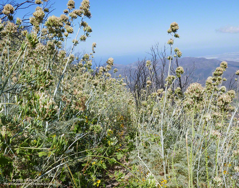
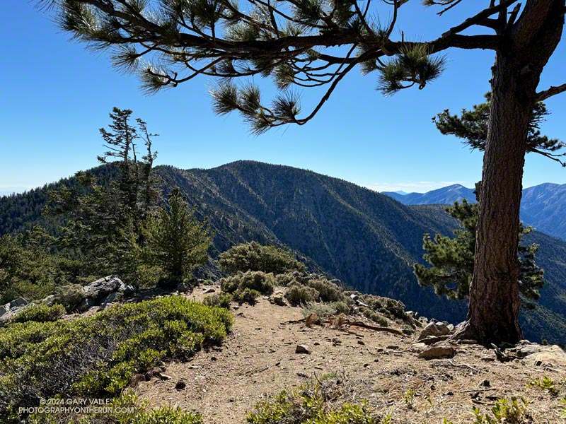
On top, the heat of the strong Summer sun was offset by a cooling breeze. There was still a few thin ribbons of snow in the chutes on Mt. Baldy. With the excellent visibility, San Jacinto Peak could be seen in the notch between Mt. Baldy and Dawson Peak, and San Gorgonio Mountain was sharply visible to the left of Pine Mountain.
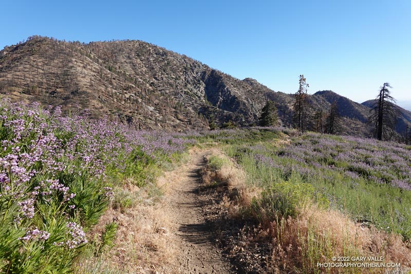
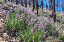
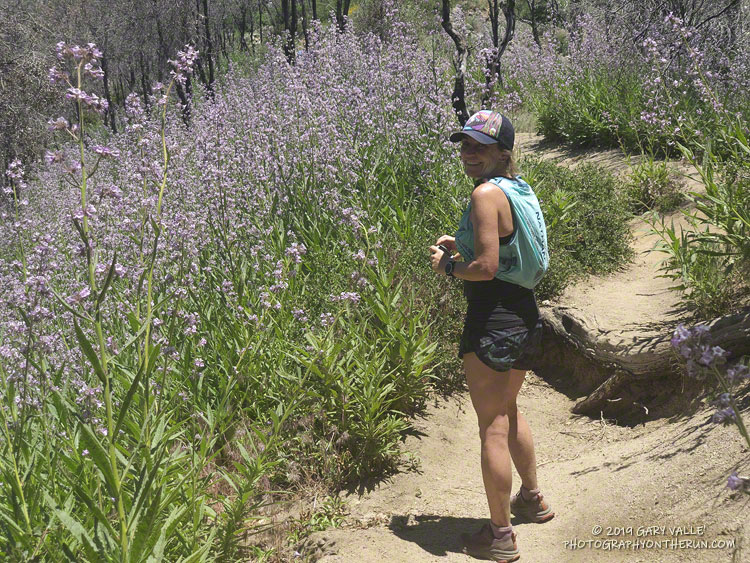
Other than a few people at Little Jimmy hike-in camp, I saw no one on the way up from Islip Saddle. A quarter-mile from the trailhead, there was an astonishing display of Poodle-dog bush along the PCT. In 2011, when a large part of Angeles National Forest reopened following the Station Fire, I developed an extensive rash after bushwhacking through Poodle-dog on overgrown trails. After that experience I’ve been more careful around the plant, and haven’t had a bad case since.
Trees were across the trail in a few places. Most were fairly easy to bypass, but a couple were “inconvenient,” such as this big log, about 0.75 mile east of Windy Gap.
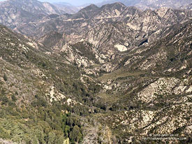
As I worked up the switchbacks above the log, to the southwest I could see the observatory and towers on Mt. Wilson. As a result of the damage to Chantry Flat in the Bobcat Fire, Mt. Wilson was on the Angeles Crest 100 Mile course last year, and will be again this year. As the raven flies, Mt. Wilson was only about 16 miles away, but for someone running the AC100, the miles along its challenging course would total well over 50!
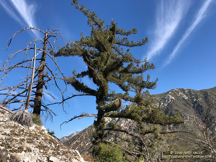
For several years I’ve been following the regrowth of conifers in four places along the PCT that were burned in the 2002 Curve Fire. What has been underscored in my informal study is a) trees take a long time to regrow, and b) frequent fires in an area are particularly devastating. Stand #1 (1.5 miles east of Islip Saddle on the PCT) was recovering nicely from the 2002 Curve Fire when it was burned in the 2020 Bobcat Fire. This comparison shows the result. The other three stands continue to recover well, with south-facing Stand #4, west of Throop Peak, growing particularly vigorously.
Ascending the final 400′ of gain on Baden-Powell’s west ridge, I was surprised to see a couple of small patches of snow remained on the north side of the ridge. The snowpack here was nowhere near as big as in 2023, but it was still pleasing to see that a little of the white stuff survived until July.
No out and back to Baden-Powell is complete without a quick stop at Little Jimmy Spring. Today, the water from spring was so cold it was painful to hold my hand in the water flowing from the pipe!
Some related posts:
– It’s Mid-July And There Is Still Snow in Los Angeles County!
– A Cool and Breezy Out and Back Trail Run from Islip Saddle to Mt. Baden-Powell
– Contact Dermatitis from Eriodictyon parryi – Poodle-dog Bush
– Regrowth of Trees Along the PCT Following the 2002 Curve Fire