Category Archives: landscape

A Windy Run, Walk, Ride, for Wildlife Research

Boney Mountain and Serrano Valley from Overlook Fire Road
Boney Mountain and Serrano Valley from Overlook Fire Road.

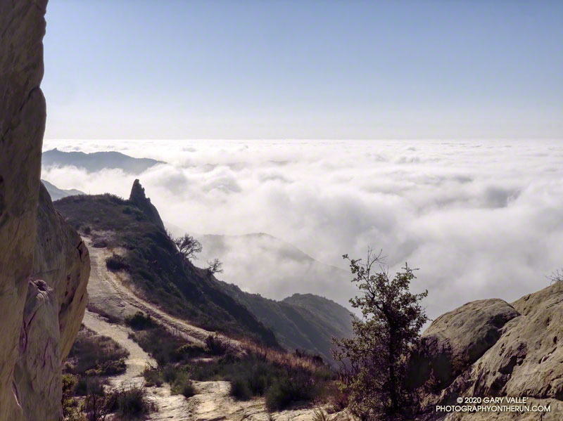
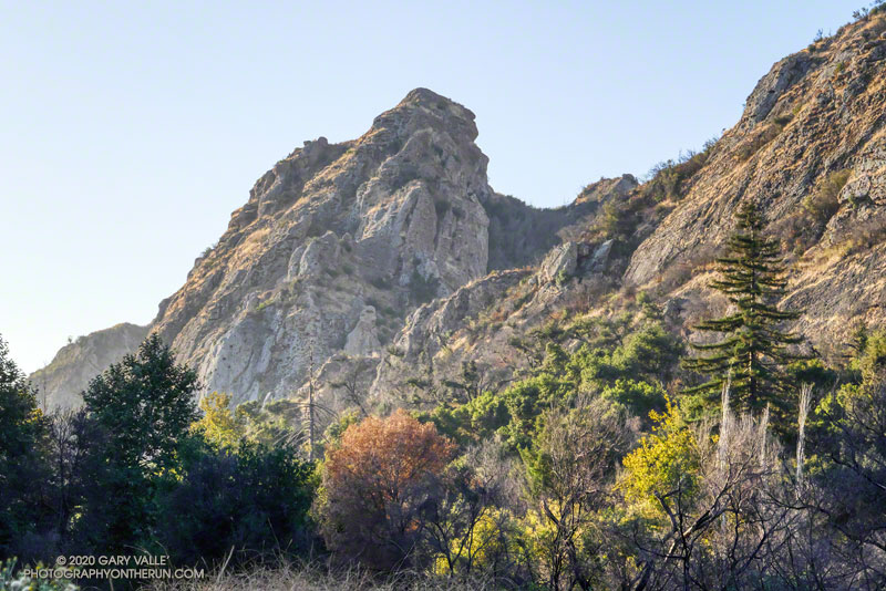
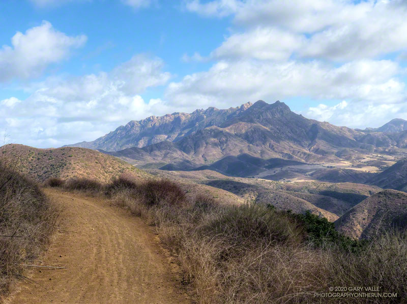
The Overlook Fire Road in Pt. Mugu State Park was nearly empty. I’d seen only two hikers between the top of the Fireline Trail and the top of the Wood Canyon Vista Trail. Maybe it was the wind. There had been 20-25 mph wind gusts much of the morning. Along the ridgelines, the gusts were even stronger.

Run, Walk, Ride 2020

I’d picked Pt. Mugu State Park to do a run in support of the Santa Monica Mountains Fund’s Run, Walk, Ride, for Wildlife Research. Many mountain lions have included Pt. Mugu State Park in their home range, including P-1, the patriarch of the mountain lions in the Santa Monica Mountains study.

According to the NPS website, the Santa Monica Mountains National Recreation Area is the world’s largest urban national park. Wildlife in the Park is affected by issues resulting from the proximity of urban and wild areas. Among the problems are poisoning from anticoagulant rodenticides, limited genetic diversity, and vehicular deaths. Only by studying Park wildlife can we better understand and manage these and other issues.

Because water is usually available at several spots in Sycamore Canyon, it’s a great place to do a self-supported ultra-length trail run.

A very windy Pacific and the Ray Miller segment of the Backbone Trail
A very windy Pacific

So far, today’s run had taken me from Wendy Drive in Newbury Park to Serrano Valley via the Old Boney Trail. I’d circled past the old ranch in Serrano Valley and then descended the Serrano Canyon Trail to Sycamore Canyon. A short jog south in Sycamore Canyon put me at the bottom of the Fireline Trail, which I’d followed up to the Overlook fire road.

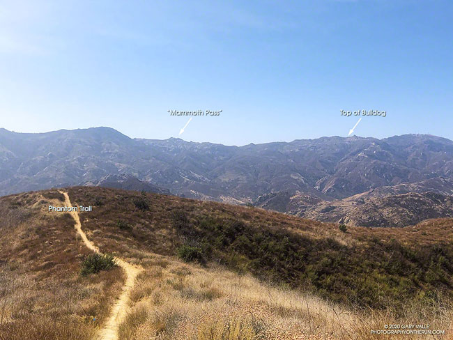
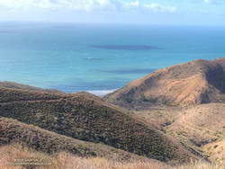
Next up was a scenic loop in La Jolla Valley. After that, I would work my way back to the Upper Sycamore Trail via Sycamore Canyon. From there, it would only be a few miles back to the Wendy Drive Trailhead.

The Santa Mountain Mountains Trails Council has been hard at work. Even though they can’t currently accept volunteer assistance, it looked like the Old Boney, Serrano Canyon, and Upper Sycamore Trails had been recently maintained.

Some related posts: It’s Raining Mountain Lion Tracks!; Mountain Lion Tracks on Rocky Peak Road; Mountain Lion Saga; Reagan Ranch Bobcat; Hawk, Bobcat and Rabbit

Blue Moon Run from the Top of Reseda

Setting full Moon, a few minutes before sunrise on Halloween 2020, from Fire Road 30 & dirt Mullholland, in the Santa Monica Mountains.

Halloween’s full Moon is the second full Moon of the month, giving it the distinction of being a “Blue Moon.” The next Blue Moon won’t occur until Aug 31, 2023.

The title photo of the setting Moon was taken a few minutes before sunrise on Halloween, from Fire Road 30 & dirt Mulholland, in the Santa Monica Mountains.

I was doing an out and back trail run from the “Top of Reseda” to somewhere on Rogers Road segment of the Backbone Trail. With about three hours and one bottle of water available, “somewhere” turned out to be the Lone Oak above Will Rogers State Park.

Including short side trips to Cathedral Rocks and Temescal Peak, the roundtrip totaled about 14.5 miles of enjoyable trail running.

Some related posts: Will Rogers – Temescal Loop, Century City Clouds and Sun, Downtown Los Angeles and San Jacinto Peak

Topanga Lookout From Topanga Ridge

Topanga Lookout From Topanga Ridge

This morning, did the Topanga Lookout Ridge loop, plus the twin summits of Saddle Peak.

California buckwheat along the Backbone Trail, east of Saddle Peak
California buckwheat along the Backbone Trail

Here’s what the Topanga Fire Lookout looked like in 1969.

For more info about the loop, see the posts: Topanga Lookout Loop, Plus Saddle Peak and Topanga Lookout Ridge Loop

The short service road at the top of Saddle Peak’s antennae-festooned west peak was closed when I did this run, but was open again on December 5, 2020.

Out and Back Trail Run to Mugu Peak

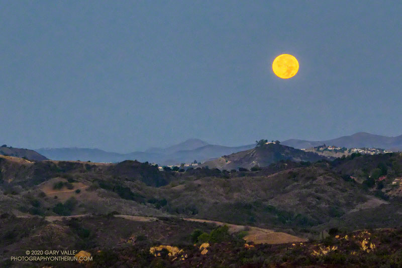
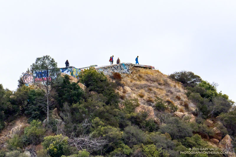
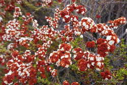
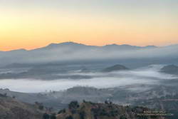
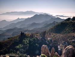
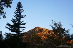
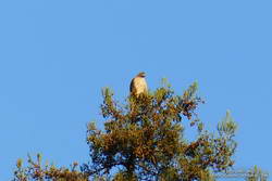
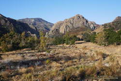
Above are thumbnails of a few photos from a 20-mile out and back trail run to Mugu Peak from the Wendy Drive Trailhead. The run was on October 17, 2020. Click on an image for a larger photo and more information.

There are several ways to get to Mugu Peak from the Wendy Drive Trailhead on Potrero Road. When I do this run I’m usually looking to do a longer, faster-paced run without a huge amount of elevation gain. That translates to running down Big Sycamore Canyon to Wood Ranch Road and then either running up the Backbone Trail or Hell Hill to the “hub,” and from there to La Jolla Valley and Mugu Peak.

Here are archived maps of Rancho Sierra Vista/Satwiwa and Pt. Mugu State Park, originally from the NPS Santa Monica Mountains web site. Also see the Pt. Mugu State Park maps on VenturaCountyTrails.org. Please note that as of October 2020 the lower half of the La Jolla Canyon Trail is still closed.

One of Southern California Edison’s remote weather stations is in Sycamore Canyon, near the Danielson ranch house and multi-use area.

Some related posts: La Jolla Valley & Mugu Peak from Wendy Drive, Wendy Drive – Mugu Peak Challenge, Busy Mugu Peak, Breakaway

Bulldog Loop Plus the Phantom Loop

Marine layer clouds from the Backbone Trail at
Marine layer clouds from the Backbone Trail at “Mammoth Pass.”

The Bulldog Loop, without any extras, is a little over 14 miles long, with an elevation gain of about 2700′.

While doing the Phantom Loop last week, I was reminded that a good way to extend the Bulldog Loop is to combine it with the Phantom Loop. This produces a run of about 19 miles, with an elevation gain of around 3650′.

Early morning view of Saddle Peak from the Cistern Trail

This weekend I was looking to do something a little longer. With the National Forests in Southern California still closed, the usual high country options weren’t available. The temperature forecast looked warm, but not crazy hot, so it was a good day to do this run.

The Cistern/Phantom Trailhead on Mulholland Highway is a convenient place to start and end the loop. Later in the run, water is usually available from a faucet and fountains adjacent to the restrooms at the main MCSP parking lot. If doing the loop counterclockwise from the Cistern Trailhead, the restrooms and water are about 14 miles into the run.

Santa Monica Mountains from the top of the Bulldog climb.

The main attraction is still the Bulldog climb. From Crags Road to Castro Mtwy, the Bulldog Mtwy gains about 1730′ over about 3.4 miles. From the MCSP parking lot to the high point on the Phantom Trail, the route gains a bit more than 1000′ over 4.7 miles.

Here’s an interactive view of the merged 19 mile loop. A longer variation continues on the Grasslands Trail to De Anza Park and returns to Liberty Canyon on the Talepop Trail.

Crest of the Santa Monica Mountains from the Phantom Trail

Some related posts: Redwoods, Raptors, and the Phantom Loop; Trees, Bees, and a Washed-Out Footbridge on the Bulldog Loop; Best Trailhead to Start the Bulldog Loop?

Redwoods, Raptors, and the Phantom Loop

Coast redwood near Century Lake in Malibu Creek State Park
A coast redwood stands above the other trees near Century Lake.

It was a chilly 45°F as I crossed algae-covered Malibu Creek on a foot-worn log. Following a brutally hot Summer with temps in the West San Fernando Valley reaching 121°F, the chill of the cold air felt especially good.

The plan was to do the Phantom Loop, but first, I was going to run over to the Forest Trail. The side trip was not only to check on the coast redwoods along the trail but to enjoy the calm beauty of the area. To say 2020 has been unsettling is like saying a rattlesnake bite is a little annoying — and the year isn’t over yet.

Coast redwood near the Forest Trail and Crags Road junction in Malibu Creek State Park
Coast redwood near the Forest Trail and Crags Road junction

After crossing the creek, I stopped to photograph the redwood near the junction of the Forest Trail and Crags Road. The sun had just risen, and behind the tree, orange-tinted sunlight illuminated the rocky ridge above the M*A*S*H site.

Continuing along the Forest Trail toward Century Lake, I counted four healthy-appearing redwoods and two struggling trees. Redwoods sometimes grow in a group of two or more trees, and these were counted as a single “tree.” Near the end of the trail is a naturally-germinated redwood that has grown to about 5.5 inches in diameter. Remarkably, this young tree survived the 2011-2015 drought and the 2018 Woolsey Fire, and appears healthy!

I had just finished photographing the young tree when a Cooper’s or Sharp-shinned Hawk flew from a nearby oak and through the trees along the trail. It landed on the limb of an oak ahead of me but was in deep shade. In a much-enlarged image, the bird looks like a Sharp-shinned Hawk, but distinguishing the two species can be challenging.

Red-tailed hawk atop a coast redwood in Malibu Creek State Park.
Red-tailed hawk atop a coast redwood.

A few yards down the trail, a much larger raptor — a Red-tailed hawk — was perched at the top of the tallest redwood. The huge bird had its wings pulled back to expose more of its body to the warming sun. It looked like a giant penguin sitting atop a tree. As I approached, it began to preen its feathers, comfortable with its lofty position.

With a sigh, I left the Forest Trail behind and returned to Malibu Creek. This time I crossed the creek on a plank near the washed-out bridge. This was a more direct route than the fallen tree upstream but only worked because the creek was low. At the crossing, a passing runner asked if he was on the Bulldog Loop. I assured him he was and was a little envious that he was getting to experience that excellent run for the first time.

Morning view of Goat Buttes in Malibu Creek State Park
Morning view of Goat Butte and stream course of Malibu Creek

As usual, Crags Road and the High Road were busy thoroughfares. The easy running under the sprawling coast live oaks was pleasant, and the morning view of Malibu Creek and Goat Buttes outstanding.

In a few minutes, I’d reached Mulholland Highway and then followed the Grasslands Trail to the Liberty Canyon Trail. From Liberty Canyon, the Phantom Trail gains about 750′ in elevation over about 1.5 miles to a high point and ridgeline with excellent views of Saddleback Peak, Las Virgenes Canyon, Brents Mountain, Goat Buttes, Castro Peak, Ladyface, and Boney Mountain.

The air quality this morning hadn’t been too bad. From up on the ridge, I could see there was far less smoke to the west of Las Virgenes Canyon than to the east. Yesterday, I’d done a run in the eastern Santa Monica Mountains and had to cut the run short because of smoke. That wasn’t a problem today, and the run had been a good one.

Some related posts: Coast Redwoods Along the Forest Trail, Urban Highlands, Saddle Peak from the Phantom Trail