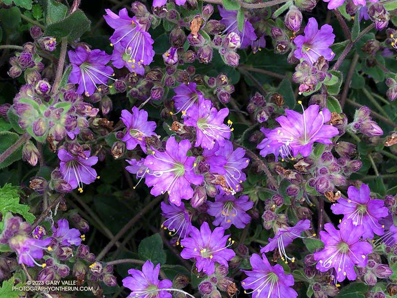
Winter into Spring the purple flowers of wishbone bush (Mirabilis laevis var. crassifolia) are found along sun-warmed sections of low elevation trails in much of Southern California.
The plant’s common name refers to the stems of the plant, which are forked like a wishbone.
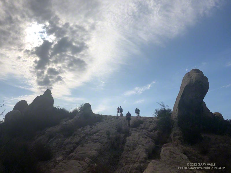
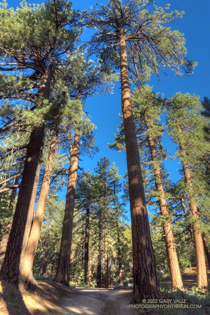
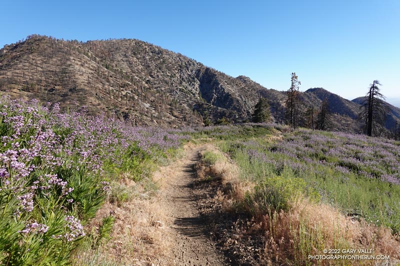
From this morning’s run of the Trippet Ranch loop from the Top of Reseda Blvd.
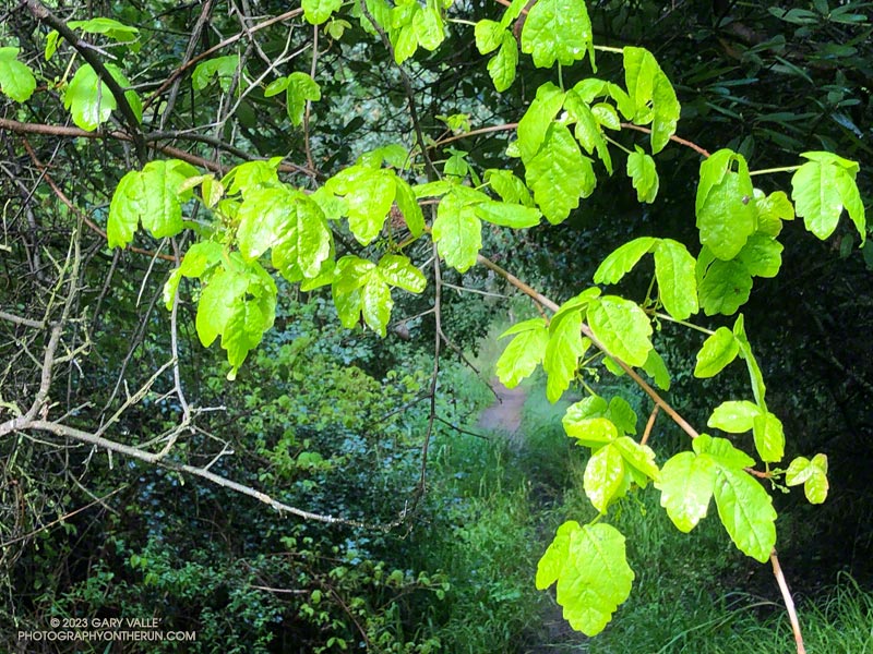
Fresh new leaves of poison oak hanging above the Backbone Trail
When one of the runners coming down the Rogers Road segment of the Backbone Trail saw me coming up the trail, he commented, “At least now we know the trail goes through!”
He was only half-joking. With all the wet weather, trails may not only be wet and muddy but might be flooded, severely eroded, blocked by trees and debris, or destroyed by runoff, mudslides, or slope failures.
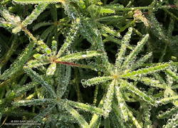
Water droplets on bedstraw (aka cleavers) along the Backbone Trail
It had rained the previous two days, and more rain was forecast in a day or two. I was on this stretch of the Backbone Trail because I wanted to check out a use trail near High Point (Goat Peak) in the Santa Monica Mountains. I could do that by slightly modifying the route described in “Racing the Weather to High Point (Goat Peak) and Back.”
Two use trails connect to the High Point trail near High Point. Both are on the east side of the ridge. When traveling northbound from High Point, the first trail encountered is the “Rivas Ridge Trail.” Its junction with the High Point trail is on a hilltop, a bit more than a tenth of a mile north of High Point. The junction with the other trail — aptly named the “Great Escape” — is about a tenth of a mile north of the Rivas Ridge trail junction and a quarter-mile north of High Point.
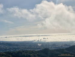
West L.A and advancing marine layer clouds in the Los Angeles Basin.
Instead of doing the run as a pure out and back, on the way back, I took the Great Escape down to the Backbone Trail. This short use trail connects to the Backbone Trail about 0.4 mile south of “The Oak Tree.” It was an interesting trail to explore and only added about a third of a mile to the regular out-and-back route.
Fuchsia-flowered gooseberry along the Backbone Trail
The condition of the Backbone Trail between Fire Road #30 and The Oak Tree was about what you would expect during such an active rain season. There were a few slimy, slippery spots and some eroded stretches of trail. My shoes and socks were already soaked from the wet grass along the trail by the time I reached The Mud Puddle. This was good because I didn’t waste any time looking for a way around the flooded section of trail — I just waded right in. Nearby, a short section of trail had collapsed in a slide, but there was enough of a shoulder to easily go around it.
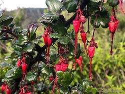
With the wet rain season, everything is growing like crazy. This includes poison oak, which was already dangling into the trail in several places. More wildflowers were beginning to bloom. This scarlet-red Fuchsia-flowered gooseberry was blooming along the Backbone Trail near its junction with the High Point Trail.
When I parked at Malibu & Piuma to do the Bulldog Loop on Sunday, I didn’t know that I was going to be swept up in a Bulldog Ultra training run.
I had just started up Bulldog Mtwy fire road when the first group of speedy runners swarmed past. The strenuous climb to the Castro Peak Mtwy gains about 1750 feet over 3.4 miles. Much of its infamy is due to the oven-like conditions typically experienced on the second loop during the Bulldog 50K.
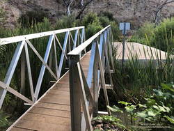
New bridge extension across Malibu Creek on the Crags Road trail, east of the M*A*S*H site.
This morning, the climb was a little warm in spots, but not bad. There was a good turnout for the training run and nearly everyone was enjoying the run.
On the way up I had an interesting conversation with a runner that had just done their first 100 miler and was going to pace someone in the AC100 this weekend.
In case you haven’t heard, State Parks has finally come up with a solution to the repeatedly washed-out footbridge across Malibu Creek, east of the M*A*S*H site. An extension was added to the massive block of concrete that formed the foundation of the old bridge. No more shaky log crossings — at least for a while.
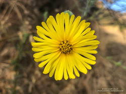
Common Madia (Madia elegans) at the bottom of the Bulldog Mtwy fire road.
Here’s an interactive, 3D terrain view of the Bulldog loop. The map can be zoomed, tilted, rotated, and panned. To change the view, use the control on the upper right side of the screen. Track and placename locations are approximate and subject to errors. Poor weather and other conditions may make this route unsuitable for this activity.
Good luck to all the runners doing Bulldog — especially those doing their first trail race or ultra!
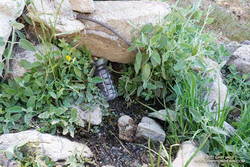
A couple leaving the camp saw that I was trying to collect drips of water from the nearly dry spring. I told them I was OK, and had water in my pack — I was just using a makeshift cup to get a couple of mouthfuls of cool water from the slowly dripping spring.
I had stopped at Sheep Camp (8300′) in the Chumash Wilderness, in Los Padres National Forest. The day was warm and the spring at the camp is usually a refreshing stop on the way back to Mt. Pinos and the trailhead at the Chula Vista parking area. Earlier, I’d talked to a runner training for the Kodiak 100, and he’d mentioned that the spring was a key source of water for his dog.
Trying to collect a mouthful of water from the spring at Sheep Camp
In recent years water has sometimes been an issue at the Sheep Camp spring. In July 2018, six out of the past seven Rain Years had been dry, and the flow of the spring was just a trickle. But it had been enough to slowly refill my Camelbak (TM) and get me down to Lily Camp (6600′) and back. Not so today.
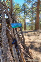
Even without the water, Sheep Camp is a pleasant and worthwhile detour. Old growth pines tower above and bright yellow sneezeweed and other flowers are sprinkled about the forest floor. In the Spring large patches of iris bloom in the damp areas.
Today, I was returning from Mt. Abel, after having done Mt. Pinos, Sawmill Mountain, and Grouse Mountain on the way to Mt. Abel from the Chula Vista parking area. Here is an elevation profile of the run/hike. The cumulative elevation gain on the 15.5 mile run is about 3700′.
North summit of Grouse Mountain.
The short side trips to the summits of Mt. Pinos and Sawmill require almost no extra effort, and the view from Sawmill — if it’s not too smoky or hazy — is wide-ranging. Getting to the twin summits of Grouse takes a bit more work, but it’s fun to follow the short use trail up the south summit and then to wander through the pines to the slightly taller north summit.
The descent that follows — down the use trail from Grouse and then down the Vincent Tumamait Trail to Puerto del Suelo, drops about 1000′ in elevation over 1.6 miles. This, of course, must be repaid on the way back!
When you reach the road at the end of the Vincent Tumamait Trail, you might remark, “But there’s no trail to Abel!” And you would be correct. It’s fairly straightforward to trek up through the forest from the road, though care is required due to the debris from forestry work in the area.
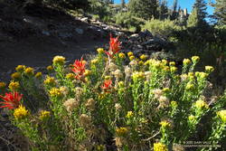
Rabbitbrush and paintbrush along the Vincent Tumamait Trail, northwest of Mt. Pinos.
Poodle-dog Bush along the Pacific Crest Trail near Islip Saddle with Mt. Williamson in the background.
Nope, my eyes weren’t deceiving me, the hiker was carrying his full-size poodle up the trail.
I was running down the PCT, east of Islip Saddle, after a run/hike to Mt. Hawkins and Throop Peak. I’m guessing the hiker was carrying his dog to keep it out of the Poodle-dog Bush on both sides of the trail.
Poodle-dog bush along the PCT above Islip Saddle
Poodle-dog Bush (Eriodictyon parryi) is a fire-follower that can cause severe dermatitis in some people. In this case the plants sprouted following the 2020 Bobcat Fire.
The last big outbreak of Poodle-dog Bush followed the 2009 Station Fire. At that time many people were unfamiliar with its potential effects, and were caught off-guard.
The plant can get you in a couple of ways — the plant’s resin can affect sensitized people in a manner similar to poison oak, and the plant’s numerous hairs can break off and irritate the skin.
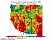
Downtown Los Angeles (USC) ended the Rain Year (July 1, 2021 – June 30, 2022) with 12.40 inches of rain. This is about 87% of the 1991-2020 Climate Normal of 14.25 inches.
Percent of Average Precipitation Western U.S. July 1, 2021 to June 30, 2022.
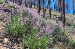
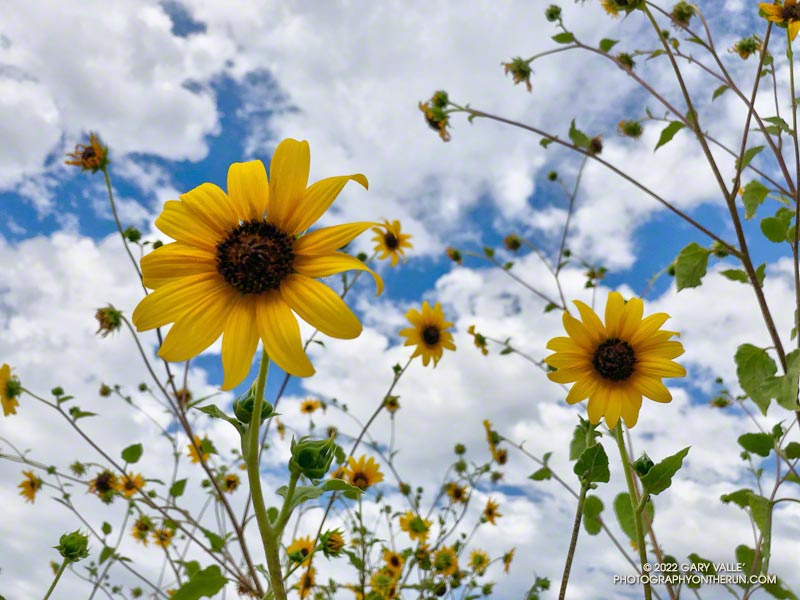
In part because of large amount of rainfall during December — nearly 9.5 inches at Los Angeles — and the meager amount of rain the previous year, the area’s vegetation responded as if there had been above average rainfall. Wildflowers bloomed in abundance and some trails became overgrown.
Looking at the broader picture, much of California, Nevada and western Arizona recorded below average precipitation, exacerbating water supply issues in the Southwest.