Trailer Canyon – Santa Ynez Canyon Trail – Trippet Ranch Loop

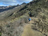
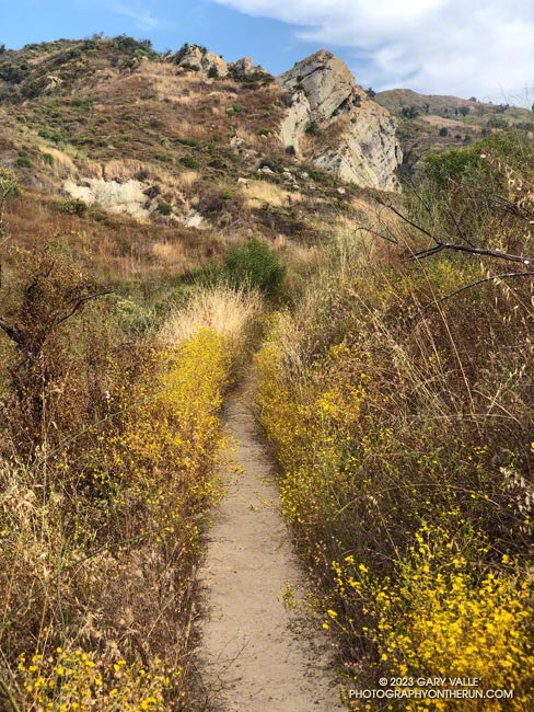
Santa Ynez Canyon Trail in Topanga State Park.
Santa Ynez Canyon Trail.


The 17.5-mile Trailer Canyon – Santa Ynez Canyon Trail – Trippet Ranch Loop is a longer version of the venerable Trippet Ranch loop from the Top of Reseda. It might also be called the Three Vistas Loop because it visits three high points in Topanga State Park with 360-degree, panoramic views.
Eagle Rock from Temescal Peak in Topanga State Park.
Eagle Rock from Temescal Peak.

The run starts and ends the same as the Trippet Ranch Loop. After running up to the Hub on Fire Road #30, instead of continuing straight on Eagle Springs Fire Road, this route turns left on Temescal Ridge Fire Road. The fire road is followed up to where the Backbone Trail single-track forks left off the road. The Backbone Trail is followed a tenth of a mile east, where a path leads up and left to the top of Temescal Peak.

The view from this little peak is superb. On a day with good visibility, the view can extend beyond Mt. Baldy to San Gorgonio Mountain and San Jacinto Peak. The next overlook on this route, Temescal Lookout, is about a half-mile (as the crow flies) to the south. The third overlook, Eagle Rock, is about a mile to the west.
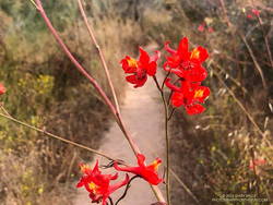
Scarlet larkspur along the Santa Ynez Canyon Trail.
Scarlet larkspur.

From Temescal Peak, the route returns to Temescal Ridge Fire Road. I usually follow the use-trail back down and across the Backbone Trail and then continue on the use-trail to the fire road.

The next stop, Temescal Lookout, is about a mile from the top of Temescal Peak and just off Temescal Ridge Fire Road. When doing this loop, I run up a dirt access road on the north side of the lookout and then descend a use trail on the south side. Once the site of a fire lookout, it also has an excellent view. This photo of Downtown and San Jacinto Peak was taken from the viewpoint.
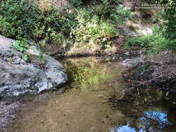
A pool on Santa Ynez Creek. July 2023.
Pool on Santa Ynez Creek.

Once back on Temescal Ridge Fire Road and headed south, it’s less than a half-mile to the turn-off down Trailer Canyon Fire Road and then another 2.3 miles down to Michael Lane in Pacific Palisades. On the way down, there are good views of where the loop is headed next — Santa Ynez Canyon. A large part of Santa Ynez Canyon was burned in the May 2021 Palisades Fire.

After turning right (west) on Michael Lane, the street is followed around and down to Vereda de la Montura. A right turn here leads to the Santa Ynez Canyon Trailhead in about a quarter-mile. This is where some route-finding fun begins.
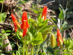
Scarlet monkeyflower on a tributary of Garapito Creek.
Scarlet monkeyflower.

Heavy rains in December 2021 washed out sections of the Santa Ynez Canyon Trail. During the 2022-2023 rain season, the trail took it on the chin again. The good news is the trail sees a lot of use and the washed-out sections are becoming reestablished. There was still a little running water in the creek. Part way up the canyon, I was surprised to find pennyroyal blooming along the trail.

A bit more than a mile from the trailhead, the Santa Ynez Canyon Trail climbs out of the bottom of the canyon and up onto a broad ridge. Another mile of uphill, and it tops out at Eagle Springs Fire Road. After turning left, it’s less than a half-mile down to the Trippet Ranch parking lot.
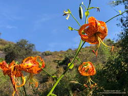
Humboldt lily along the Garapito Trail.
Humboldt lily.

The previous weekend I’d done the Trippet Ranch Loop, so knew what the expect on the remainder of the run. Other than being a little overgrown, the Musch Trail was in reasonable shape. There were still some late-season blooms of showy penstemon, yellow monkeyflower, and white snapdragon along the trail. This time of year, the round pincushions of buckwheat are common. Water was available at the start of the Musch Trail and at Musch Camp.

Reaching the top of the Musch Trail, high clouds kept the temperature comfortable as I worked up Eagle Rock Fire Road. At the turn-off to climb Eagle Rock, digger bees had established a temporary colony on the fire road. In my experience, these bees are not aggressive, BUT many sources — such as this news item from ISU Extension and Outreach — say the female bees can sting.
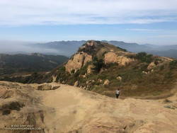
Hiker ascending Eagle Rock in Topanga State Park.
Hiker ascending Eagle Rock.

Eagle Rock is the third viewpoint on the loop, and the most popular. The massive rock formation overlooks Santa Ynez Canyon and has an airy, 360-degree view. On a clear day, Santa Monica Bay, Palos Verdes Peninsula, and Catalina can be seen to the south. On weekends, it’s rare to find the top empty. The summit had just been vacated as I climbed up and was reoccupied by another hiker as I walked down.

Returning to Eagle Rock Fire Road, I turned right and continued northeast a tenth of a mile to the top of the Garapito Trail.
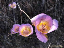
Plummer's mariposa lily along the Garapito Trail.
Plummer’s mariposa lily.

A little more than three miles long, the Garapito Trail is one of my favorite trails in the Santa Monica Mountains. Several sections of the trail are overgrown at the moment. At one point, not too far from Fire Road #30, it was necessary to bushwhack through a dense patch of six-foot-tall giant rye grass.

Two lilies listed on the CNPS Inventory of Rare and Endangered Plants of California were blooming along the Garapito Trail — Plummer’s mariposa lily and Humboldt lily. Both plants have a Rare Plant Rank of 4.2, which indicates they are of limited distribution and moderately threatened in California. Thanks to our very wet rain season, the eye-catching red of scarlet larkspur was unusually prevalent along the trail.
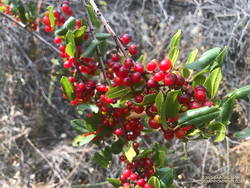
Redberry along the Garapito Trail.
Redberry.

The Garapito Trail ends at Fire Road #30. Normally the route would cross the fire road and follow the Bent Arrow Trail to dirt Mulholland, but the trail was damaged by rainy season storms and is still closed.

Turning left onto Fire Road #30, I retraced my steps from earlier in the morning and in a few minutes was back to the trailhead at the Top of Reseda (Marvin Braude Mulholland Gateway Park).

Explore the scenery and terrain of the Trailer Canyon – Santa Ynez Canyon Trail – Trippet Ranch Loop using our high resolution,  interactive, 3D viewer. The imagery is so detailed, it’s almost like being there! To change the view, use the control on the upper right side of the screen, the CTRL key and your mouse, or touch gestures. Track and placename locations are approximate and subject to errors. Poor weather, and other conditions may make this route unsuitable for this activity.

Some related posts: Trippet Ranch Loop Plus the Santa Ynez Trail, Garapito Trail Runs, Go Figure, Trippet Ranch Wildflower Run, Eagle Rock – Topanga State Park

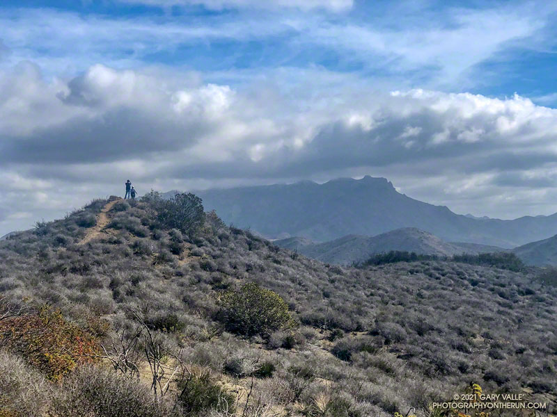
Out and Back Trail Run to the Ray Miller Trailhead from Wendy Drive

Hikers enjoy the spectacular scenery of California's Point Mugu State Park

When I parked at the Wendy Drive trailhead, there was just enough light to see a wide band of high clouds overhead. That was good news. With a well-advertised storm expected to move through the area the next day, I hadn’t been sure what weather to expect for today’s run.

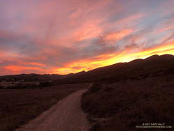
Colorfully illuminated clouds a few minutes before sunrise on the Wendy Connector Trail

The general forecast was for low clouds and fog in the morning, giving way to partly cloudy skies in the afternoon. I was going to be running one of the more scenic trails in the Santa Monica Mountains — the Ray Miller Trail. High clouds and sunshine were a much better option than running in the fog or with gloomy, overcast skies.

Shortly after leaving the trailhead, the band of high clouds became underlit by the reds, oranges and yellows of the rising sun. It was going to be a good run.

The route-finding on this run is relatively straightforward. From the Wendy Drive trailhead on Potrero Road, run over to the Satwiwa Native American Indian Culture Center (see Satwiwa map). From the Culture Center run 4+ miles on Big Sycamore Canyon Road/Trail toward the beach. Some of this is paved.

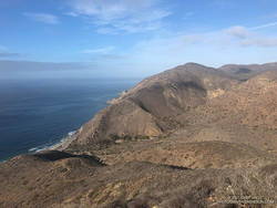
La Jolla Canyon, PCH and Mugu Peak from the Ray Miller Trail

Once past the junction of Sycamore Canyon and Wood Canyon fire roads, take either the Wood Canyon Vista Trail (Backbone Trail) or Fireline Trail up to the Overlook fire road. From the top of the Wood Canyon Vista Trail turn left on Overlook fire road, or from the top of Fireline turn right, and follow the road to the top of the Ray Miller Trail. The Fireline option is about 0.4 miles longer. Here’s a map from the State Park website. Note that the La Jolla Canyon Trail is closed.

The Ray Miller Trail drops about 1000′ over 2.6 scenic miles. There is usually water available at the parking lot at the trailhead. Today the conditions were about as good as they get. The trail was in excellent condition. The temperature was in the mid-70s. The marine layer was holding offshore and a few puffy clouds had formed over the higher peaks.

One of the things about the Ray Miller Trail is that run/hike up it is almost as enjoyable as the run down. It is a very popular, and there are almost always runners and hikers on the trail. Running up a section of trail, I thought I recognized someone going down. It was nine-time Badwater finisher Chris Frost. We talked for a while about trails, running and races.

Fall color on a California sycamore along Wood Canyon Fire Road

From Overlook Fire road the route back to Wendy was a familiar one — Hell Hill, Wood Canyon Fire Road, Two Foxes Trail, Big Sycamore Canyon Road, Upper Sycamore Canyon Trail, Danielson Road, and the Satwiwa Loop Trail. Including a short jog over to PCH the run was a little over 24 miles with about 3100′ of elevation gain.

Here’s an interactive, 3D terrain view of the Wendy Drive – Ray Miller Out & Back trail run. The map can be zoomed, tilted, rotated, and panned. To change the view, use the control on the upper right side of the screen. Track and placename locations are approximate and subject to errors. Poor weather, and other conditions may make this route unsuitable for this activity.

Some related posts: A Windy Run, Walk, Ride, for Wildlife Research; Running to Ray Miller; Ray Miller Training Run

Backbone Trail: Encinal Canyon to Mishe Mokwa Out and Back Trail Run

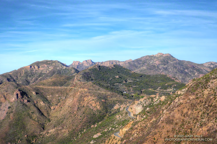
Backbone Trail, Triunfo Lookout, Boney Mountain, and Sandstone Peak from Etz Meloy Mtwy

Several segments of the Backbone Trail are spectacular and have superb scenery, but one of my favorites is the stretch between the Encinal Canyon and Mishe Mokwa Trailheads. Accentuated by dramatic rock faces and outcrops, expansive mountain views are at every turn.

Done as an out and back run, the 21-mile route has a modest 2500′ of elevation gain. This translates to a relatively moderate and runnable course with more than 18 miles of single-track.

I had not run this stretch since the Woolsey Fire ravaged the Simi Hills and western Santa Monica Mountains, a little more than a year ago. While I was discouraged to see the burned limbs of what had been 8′-12′ tall red shanks, it was heartening to see that the area was recovering, and was no longer a barren and blackened “moonscape.”

Here are a few photos taken along the way.

Related post: Kanan to Mishe Mokwa to Wendy Drive

After the Woolsey Fire: Trail Work with the SMMTC on the Chamberlain Trail

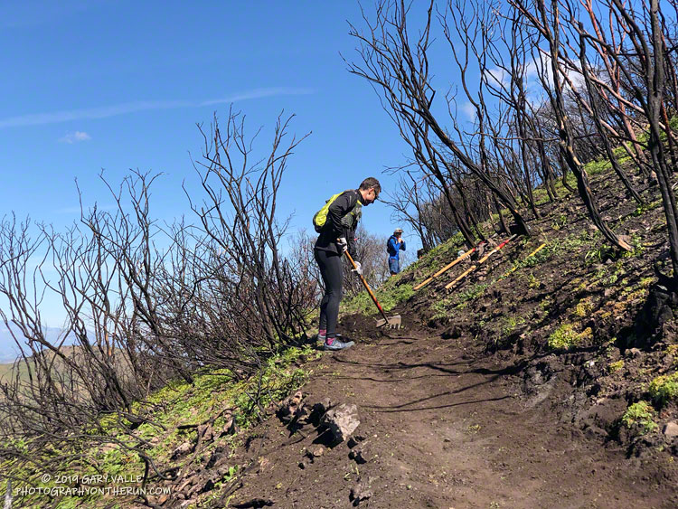
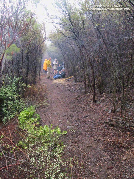
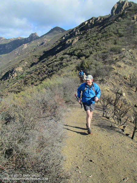
Trail runners assisting the SMMTC in trail work on the Chamberlain Trail segment of the Backbone Trail.

The trail work schedule of the Santa Monica Mountains Trail Council (SMMTC) is impressive to say the least. According to their Trail Work Statistics page, in 2018 the SMMTC was responsible for over 4,300 person-hours of work related to “establishing, preserving and maintaining the public trail system throughout the Santa Monica Mountains and adjacent areas.”

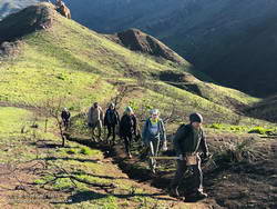
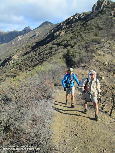
Members of the Santa Monica Mountains Trail Council (SMMTC) approaching the junction of the Old Boney and Chamberlain Trails.
Some of the SMMTC crew approaching the junction of the Old Boney and Chamberlain Trails.

Saturday, 27 trail runners assisted the SMMTC in trail work on the Chamberlain Trail segment of the Backbone Trail. The trail runners were organized by Backbone Trail Utra race director Mike Epler, who recently joined the board of the SMMTC. Ultra race director Keira Henninger volunteered and also encouraged runners to participate.

The Chamberlain Trail took a hard hit from the Woolsey Fire and subsequent rains. Under the direction of SMMTC crew members, runners restored washed out and rutted sections of trail and removed burned limbs, rocks and other debris. The trail was restored from its junction with the Old Boney Trail up to Chamberlain Rock. In preparation for future trail work, hundreds of limbs were removed from the trail up to its junction with the Tri Peaks Trail.

Many runners ran to the Chamberlain Trail, did the trail work, and then ran back. This was a good way to get in a good long run and contribute to the restoration of the trails damaged in the Woolsey Fire.

Additional photos and info are available on the SMMTC Facebook Page and web site.

Run, Lop and Shiver – Trail Work with the SMMTC on the Chamberlain Trail

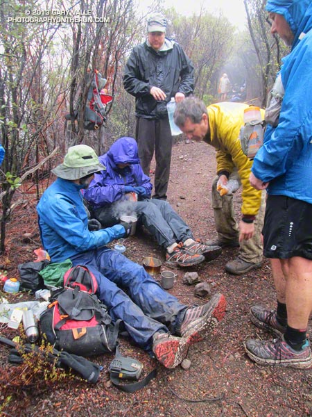
No big deal, so the temp was in the low 40s and it was a little windy… and rainy… and my work gloves were sopping wet… Yes, Victoria did say she hadn’t been this cold since leaving Russia, but how bad could it be — Mike and Jeanne were wearing SHORTS. I quietly whimpered and lopped off another limb of encroaching chamise. If I kept lopping maybe no one would notice how much I was shivering.

Logistically, the Chamberlain Trail segment of the Backbone Trail is one of the more challenging trails in the Santa Monica Mountains to maintain. It’s difficult to get all the tools and people to the trail and out again and still have time to do a few hours of work.

Coordinating with the Santa Monica Mountains Trails Council, Howard Cohen, RD of the Coyote Backbone Trail Ultra, rounded up a bunch of trusting folk that will do just about anything if running in the mountains is involved.

Starting at the Wendy Drive trailhead runners hoofed it over Boney Mountain to the top of the Chamberlain Trail — about a two hour run/hike — then lopped, and sawed and cleared their way down the trail until told to stop. Then they ran back to their cars.

If the smiles (of relief?) at the end of the day were any indication, good, clean fun was had by all — even if it was a little damp and chilly.

Here are a few additional photos from the adventure. Click for a larger version of the photo.


Boney Mountain


Front Moving In


Soups On


Chamberlain Trail


Wrapping It Up


Clearing Clouds


After Work


Scott


Jeanne & Howard


Clearing Clouds Panorama


Chamberlain Rock Panorama

Mt. Wilson Rim Trail – Kenyon Devore Trail Loop

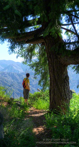
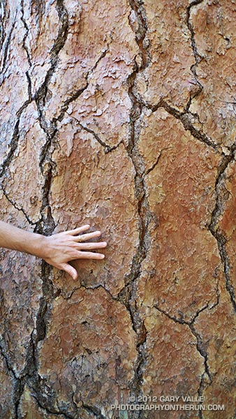
Big cone Douglas-fir on the Rim Trail near Mt. Wilson

Brett was down for Father’s Day weekend and one of the things we wanted to do was get in a couple of good trail runs. He’s heard me talk (a lot) about the Mt. Disappointment 50K and how it ends. Basically you run 27 hilly miles with over 3600′ of elevation gain, THEN finish the race by doing a 5 mile, 2650′ climb from West Fork up the Gabrielino & Kenyon Devore Trails to the top of Mt. Wilson.

This final climb tells the 50K tale. If you’ve trained well and run a good race a middle-of-the-pack runner might gain 15-20 minutes on this leg. If not, you could easily lose an hour or more. In any case you put everything you have left into this climb. An elevation profile and some stats for Kenyon Devore are included in the post Hitting the (Big) Hills of Southern California.

There are several ways to incorporate Kenyon Devore into a loop, but I could only think of two that didn’t involve running on Mt. Wilson Road. One option was a 22 mile/5000’gain loop from Shortcut Saddle to Mt. Wilson and back. That wasn’t going to happen because just five days before I’d run the Holcomb Valley 33 Mile race. Instead we opted to start on top of Mt. Wilson and use the Rim Trail, Gabrielino Trail and Rincon – Red Box Road to get to West Fork. This would pare down the loop to a manageable 12 miles and 3000′ of gain.


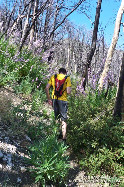
Other than a “few” gnats, a lot of poison oak and some Turricula (Poodle-dog bush), the Rim Trail was in good shape and the running excellent. Once away from the observatory complex the trail has an adventurous, backcounty feel. The trail was in good enough condition that Brett enjoyed running it in the KomodoSport LS.

The day was going to be a scorcher and I was glad that much of the Rim Trail was on the shaded, north side of the crest. The Gabrielino Trail and Rincon – Red Box Road were also relatively cool and in the shade. With no race clock ticking away, we stopped at West Fork and ate some blueberries and PB&J. So far the route had been down, down, down; but in a few minutes it was going to go up, up, up.


One of the surprises of the day was how much the Turricula (Poodle-dog bush) had grown along the Gabrielino and lower Kenyon Devore Trails since I had been here in early March. A rain gauge near here (Opids Camp) recorded nearly seven inches of precipitation from March 25 to April 26. This appears to have promoted the growth of the Turricula. In a very dry rain season the rain and snow had been much needed. It rejuvenated the streams and vegetation, and the area looked much as it would if the seasonal rainfall had been normal.

The Turricula could not be avoided in some places, but that will be remedied in a couple of weeks when Gary Hilliard’s Mt. Disappointment Endurance Run volunteer trailwork group works on this section of the Gabrielino Trail and the Kenyon Devore Trail.

Update June 21, 2012. Although my contact with Turricula on this run was very limited, I did have a mild reaction, mainly on my arms. There was very slight inflammation and the “prickly” itching that is characteristic of Turricula. The itching became noticeable about a day after exposure and persisted for 4-5 days. Although mild, the reaction was stronger than occurred following several similar encounters last year. One difference was the exposure to poison oak on the Rim Trail earlier in the run. It’s possible that there was a cross reaction. This was observed in animal testing, but not in (limited) human tests. However, my reaction following this latest encounter was much, much milder than my first bout of Turricula, which resulted from wading through large patches of the young Poodle-dog plants on miles of overgrown trail. That first very strong response may have also involved a cross reaction with poison oak.


With the Summer Solstice approaching and the Sun so high, the temperature difference between sunny and shaded sections of trail was remarkable. About the time we were on Kenyon Devore the Clear Creek RAWS recorded a fuel temperature — the temperature of a wood dowel in direct sun — at a scorching 104°F. Brett did well on the climb and could have zoomed ahead. I had not recovered from Holcomb and struggled a bit on the exposed and steep sections of trail. Higher on the trail there was a breeze and more shade and that helped. It also helped pouring water over my head at the creek crossing!

It was great to show Brett Kenyon Devore, and what better way to sharpen the appetite for one of his superbly prepared dinners!


Humboldt Lily


Turricula (Poodle-dog Bush)


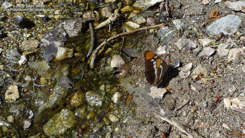
California Sister